elsewheremostly / Charlotte, Vermont / Day trip, October 25, 2026
Following the fall colors south to Vermont’s first state park, with a view of Lake Champlain
This post covers a fall day trip by car from Montreal across the border into Vermont. We had lunch in South Burlington and walked up Mount Philo State Park in Charlotte through yellow woods to a view of Lake Champlain. On the way home we stopped for groceries at Trader Joe’s and Costco.
- The day
- 9:30 a.m.MontrealDepart
- 10:35 a.m.Saint-Armand borderAbout 1 hr wait
- 12:50 p.m.South BurlingtonLunch
- 2:15 p.m.Mount PhiloCharlotte
- 4:35 p.m.South BurlingtonGroceries
- 8:10 p.m.MontrealHome
- AdmissionMount Philo State Park charges admission: US$5 for adults (14 and up), US$2 for kids (4–13), free for 3 and under, as of October 2026. Fees and season →The official season runs through the second Monday in October (October 12 in 2026).
- WeatherOctober 25: clear, 28–64°F (-2 to 18°C), about 10.5 hours of daylight
- Who wentThe three of us (one elementary-school kid)
- LocationMount Philo State Park 5425 Mt. Philo Rd., Charlotte, VT 05445About two hours by car from Montreal via the border, not counting the wait Map and route →
Contents
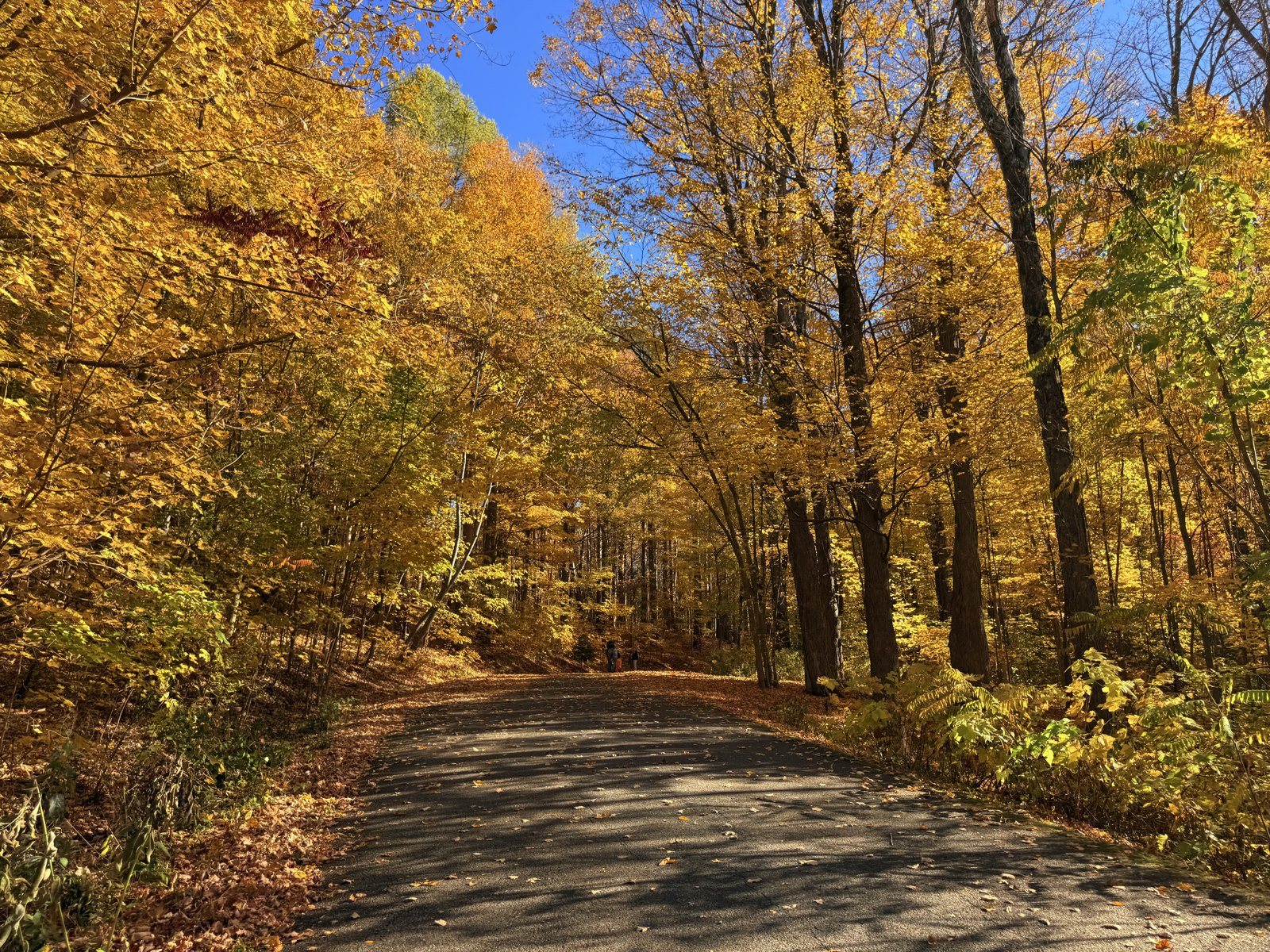
Just as the leaves in Quebec were starting to fall, we took a day trip south over the border to Vermont. Farther south it’s a little warmer, so we figured there would be more color left. When we lived farther south, a trip north meant saying, “Wow, the leaves have already turned this much.” Now we drive south and say, “There’s still color down here. How pretty.”
Late fall from Quebec to the border
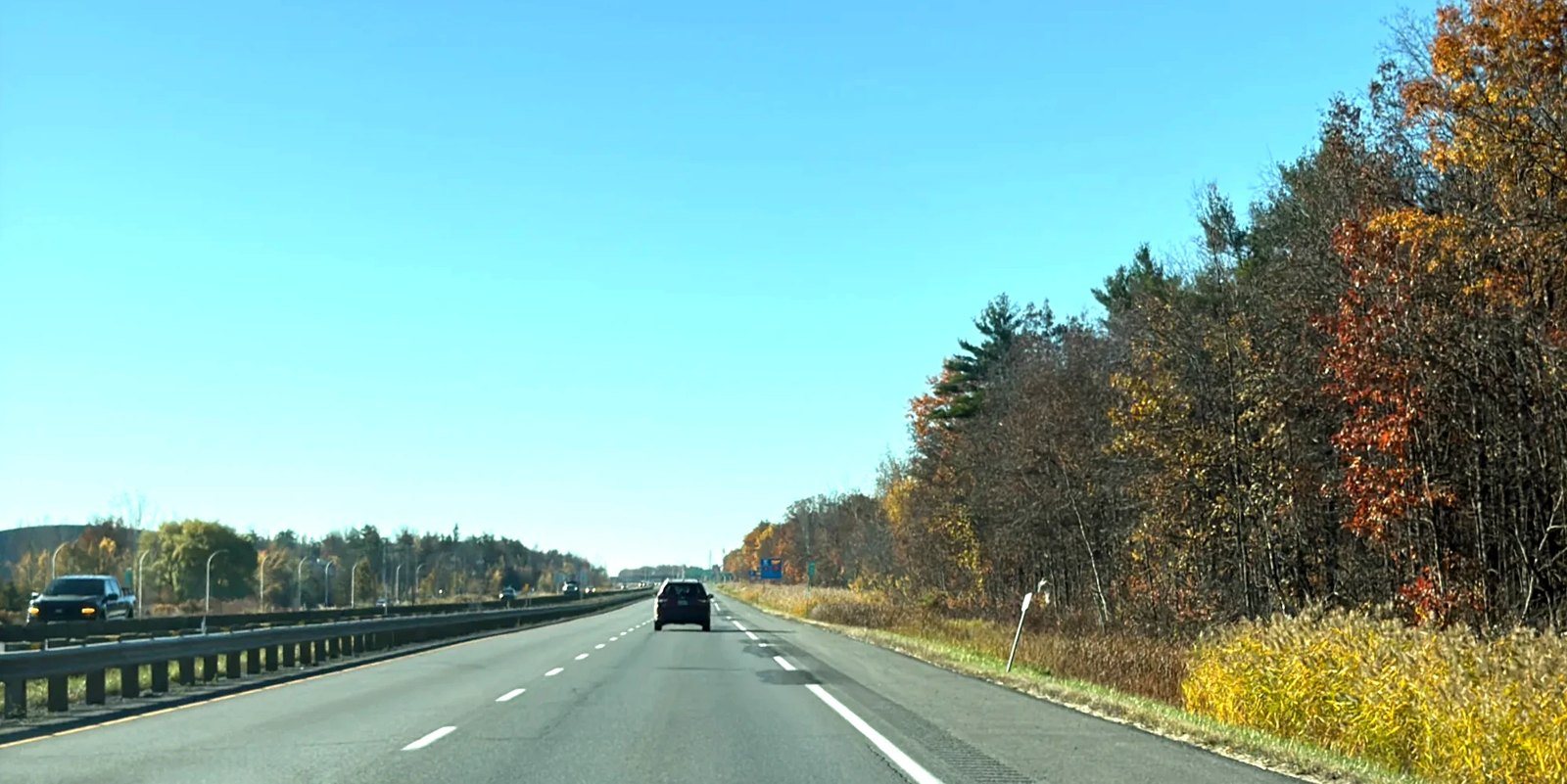
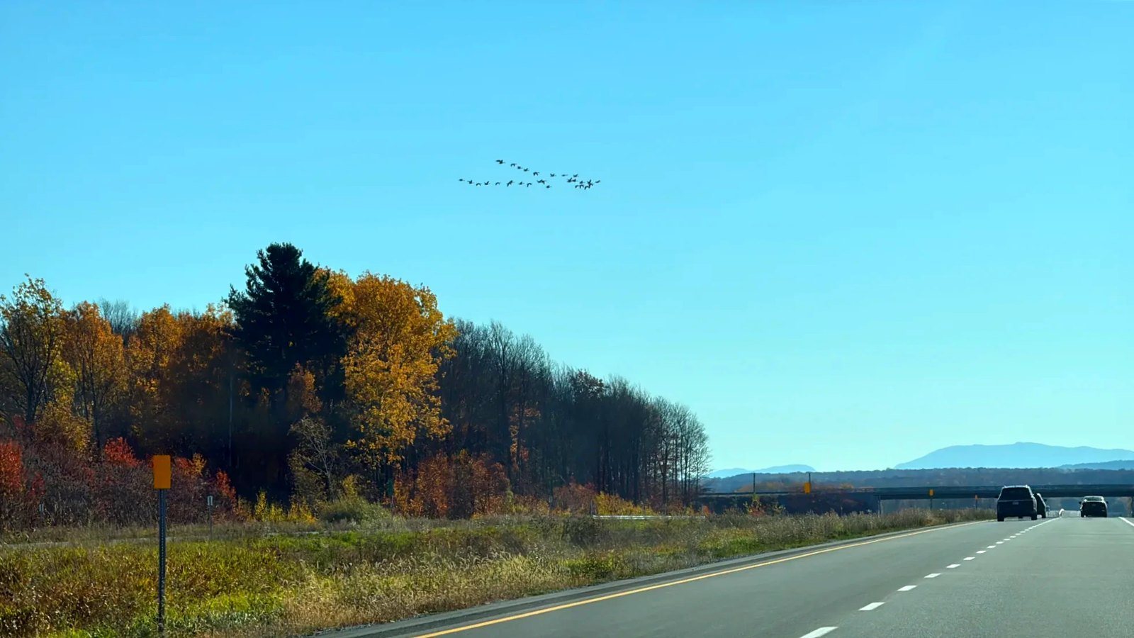
We left downtown Montreal around 9:30 a.m. and crossed the river heading south. Past Saint-Jean-sur-Richelieu, the road to the border ran through fields and woods by turns. Small trees along the roadside had gone red in patches, and both sides of the road carried colors you only get in fall.
The Saint-Armand–Highgate Springs crossing: close to an hour this time
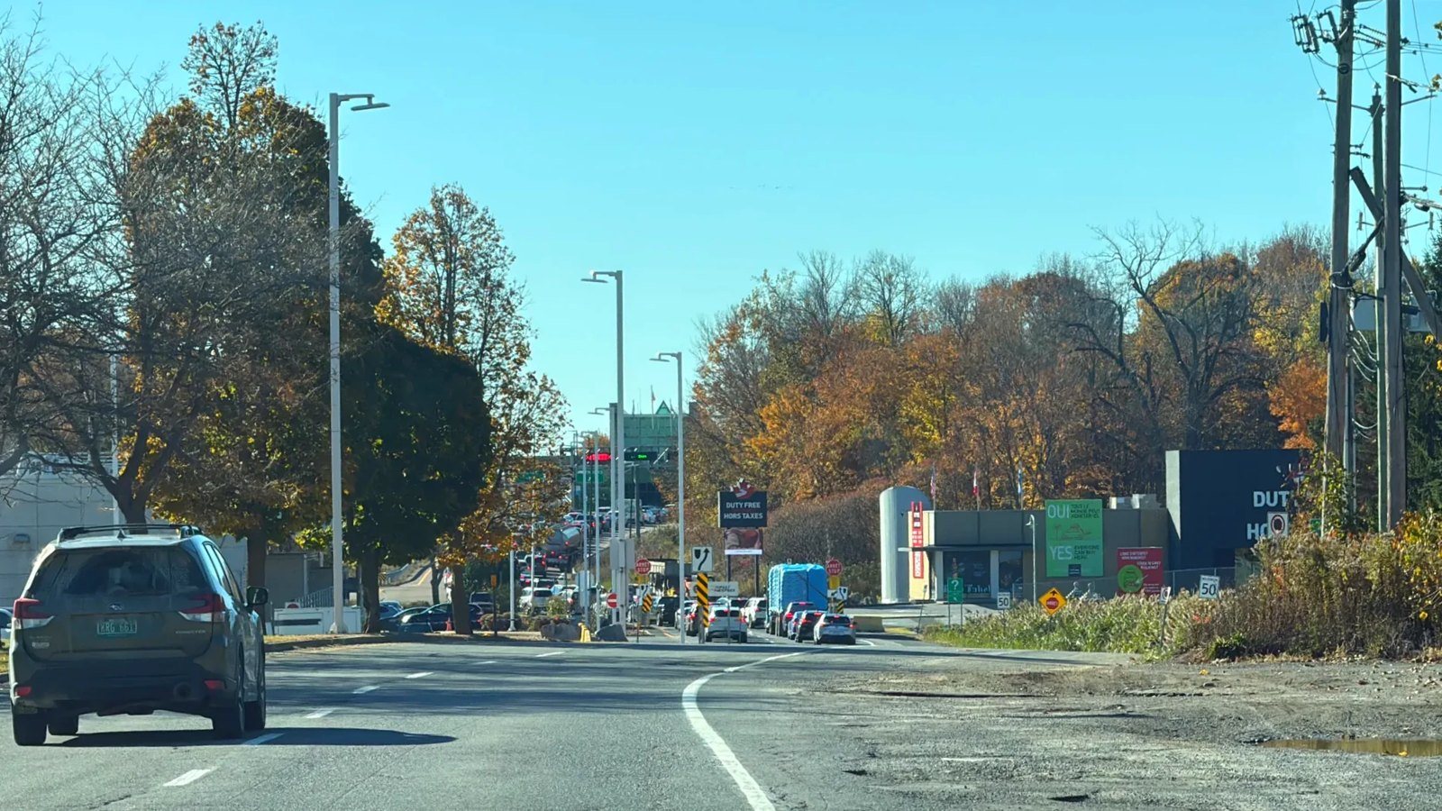
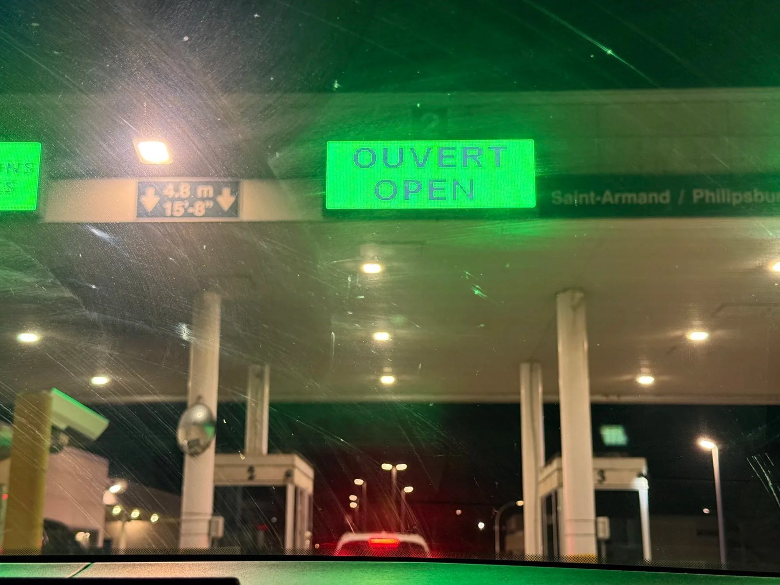
We crossed on I-89, which links Saint-Armand with Highgate Springs on the US side. Traffic didn’t look heavy, but only two inspection booths were open. We joined the line around 10:35 a.m., and it took close to an hour to get through to the US side. This time we didn’t apply for our I-94s online ahead of time; we got them at the border. Coming back through the same crossing was quick.
Across the line: Vermont’s yellow foliage
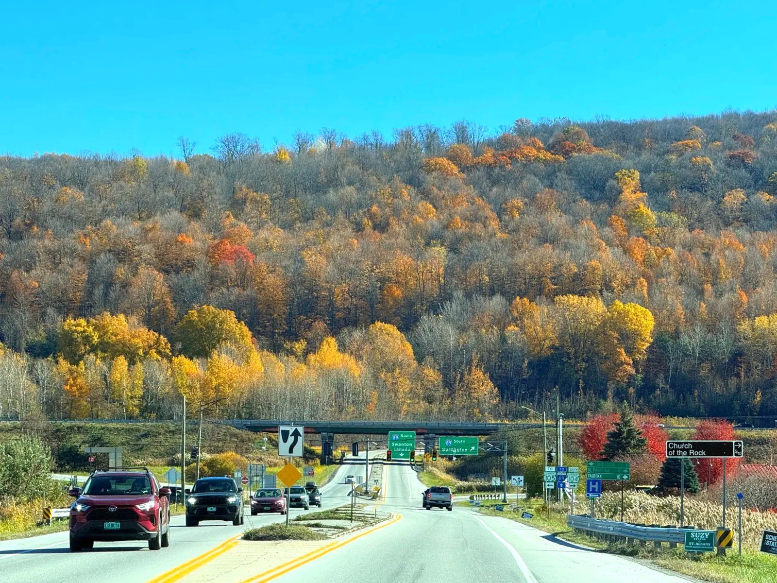
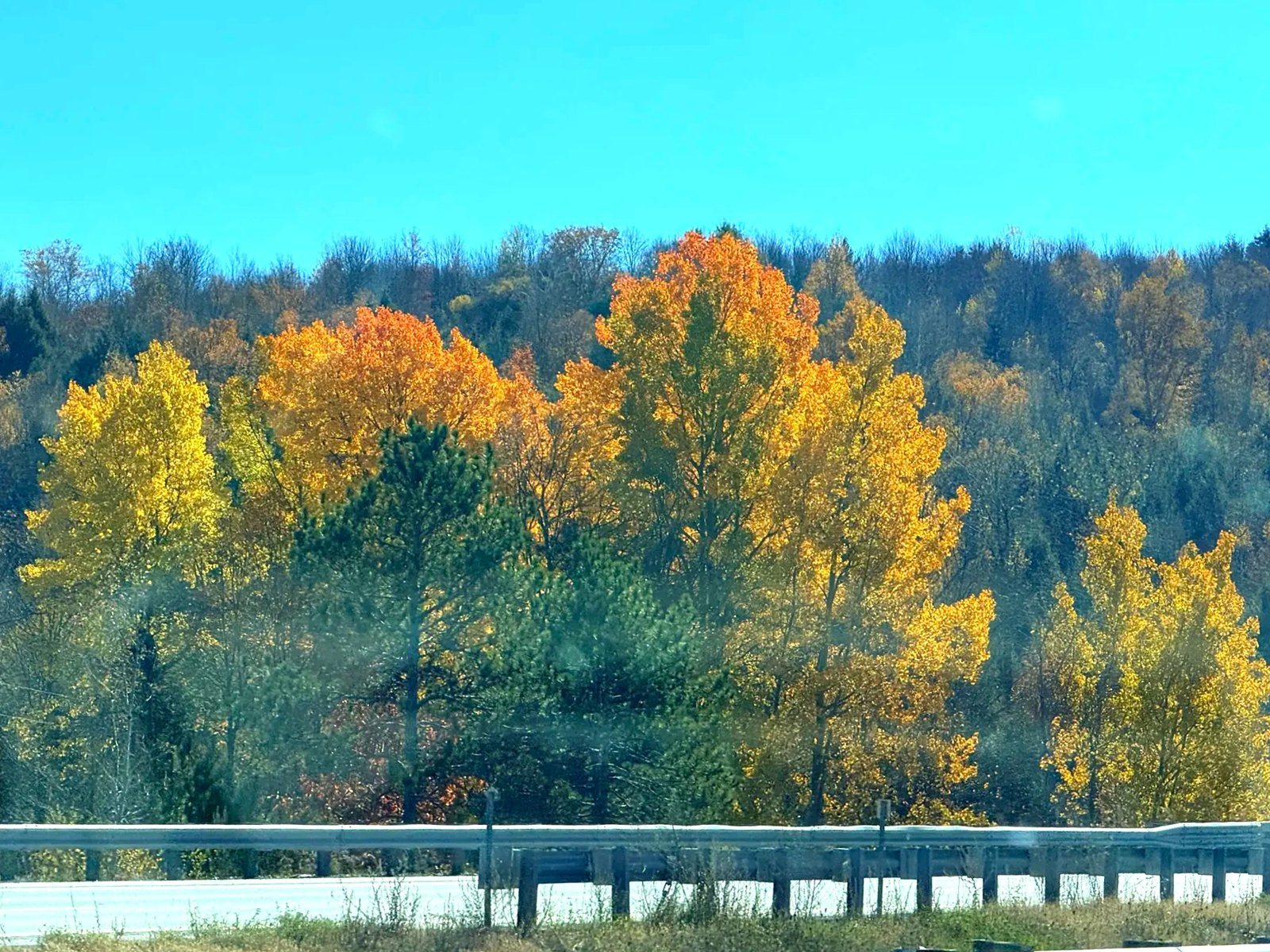
Once we were across, the colors changed. The foliage we’d seen in Quebec, at Val-Morin and Mont-Orford, had been mostly red. On the Vermont side it was mostly yellow, and the whole road looked golden. Along I-89, past Swanton and St. Albans, every curve brought more yellow woods.
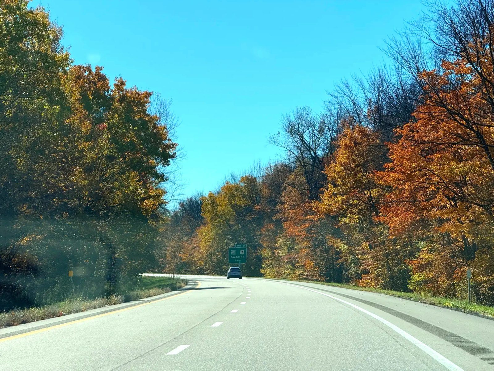
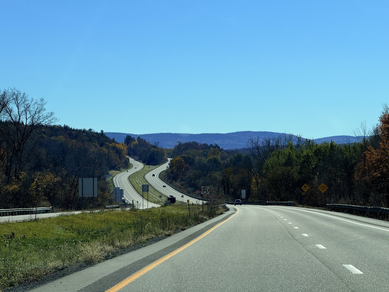
We stopped for gas in St. Albans and kept going south. It’s a pretty drive any time of year, but with the leaves turned, it was beautiful.
Lunch in South Burlington: Chipotle
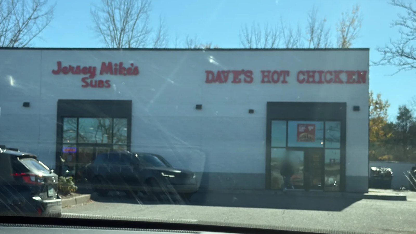
Our first stop was lunch in South Burlington, next to Burlington, at the Chipotle we go to every time we’re in the area. There’s no Chipotle in Quebec, so whenever we’re in another state, we want it again. We’ve tried Dave’s Hot Chicken in the same building once, and Jersey Mike’s was a regular stop when we lived in the US. Still, every time, we end up at Chipotle.
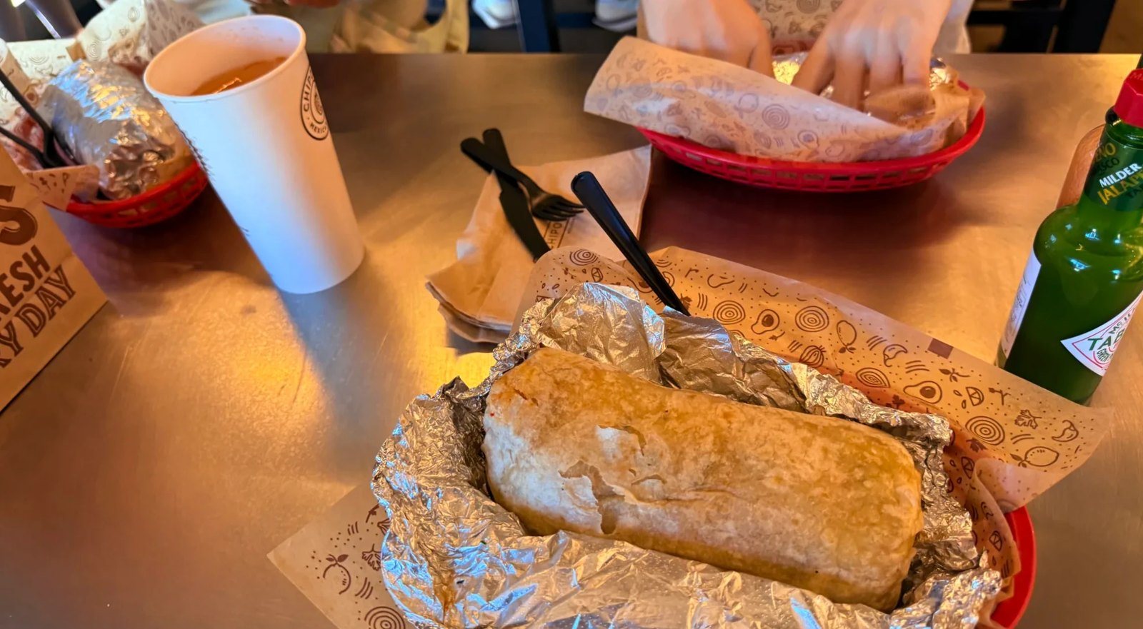
Over lunch we weighed about three options for the afternoon: Mount Philo, nearby Shelburne Farms, or the Ben & Jerry’s ice cream factory. We’d been to Ben & Jerry’s once in the middle of winter, so this time we picked the mountain.
Scarecrows along Route 7
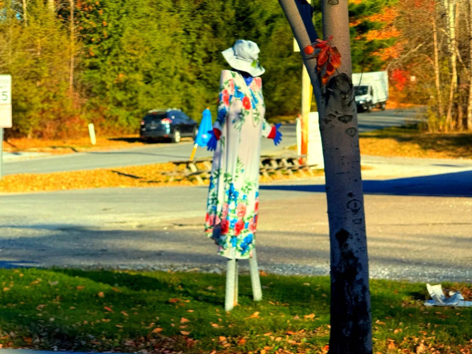
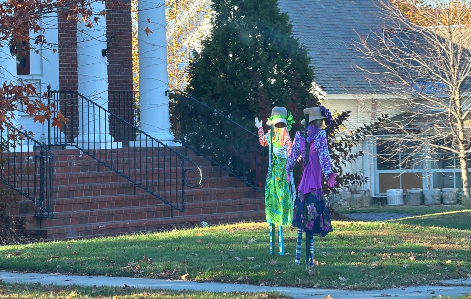
From South Burlington we took US-7 south through Shelburne to Charlotte. Every town along the way had plenty of scarecrows out. It was fun to see scarecrows dressed in clothes on roadside lawns and in front of houses. We kept seeing them on the way back too.
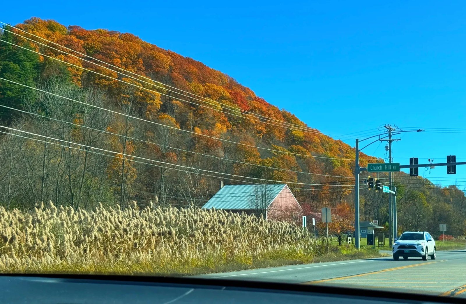
Walking up Mount Philo State Park at peak color
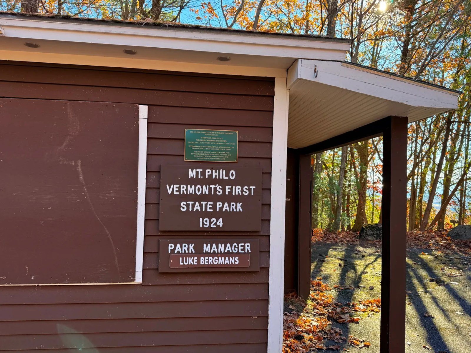
Mount Philo State Park opened in 1924 and was Vermont’s first state park. The mountain stands 968 feet (295 m), and the summit looks out over the Lake Champlain Valley and the Adirondacks in New York. The park normally charges an entrance fee, but by the time we went on October 25, the official season was over.
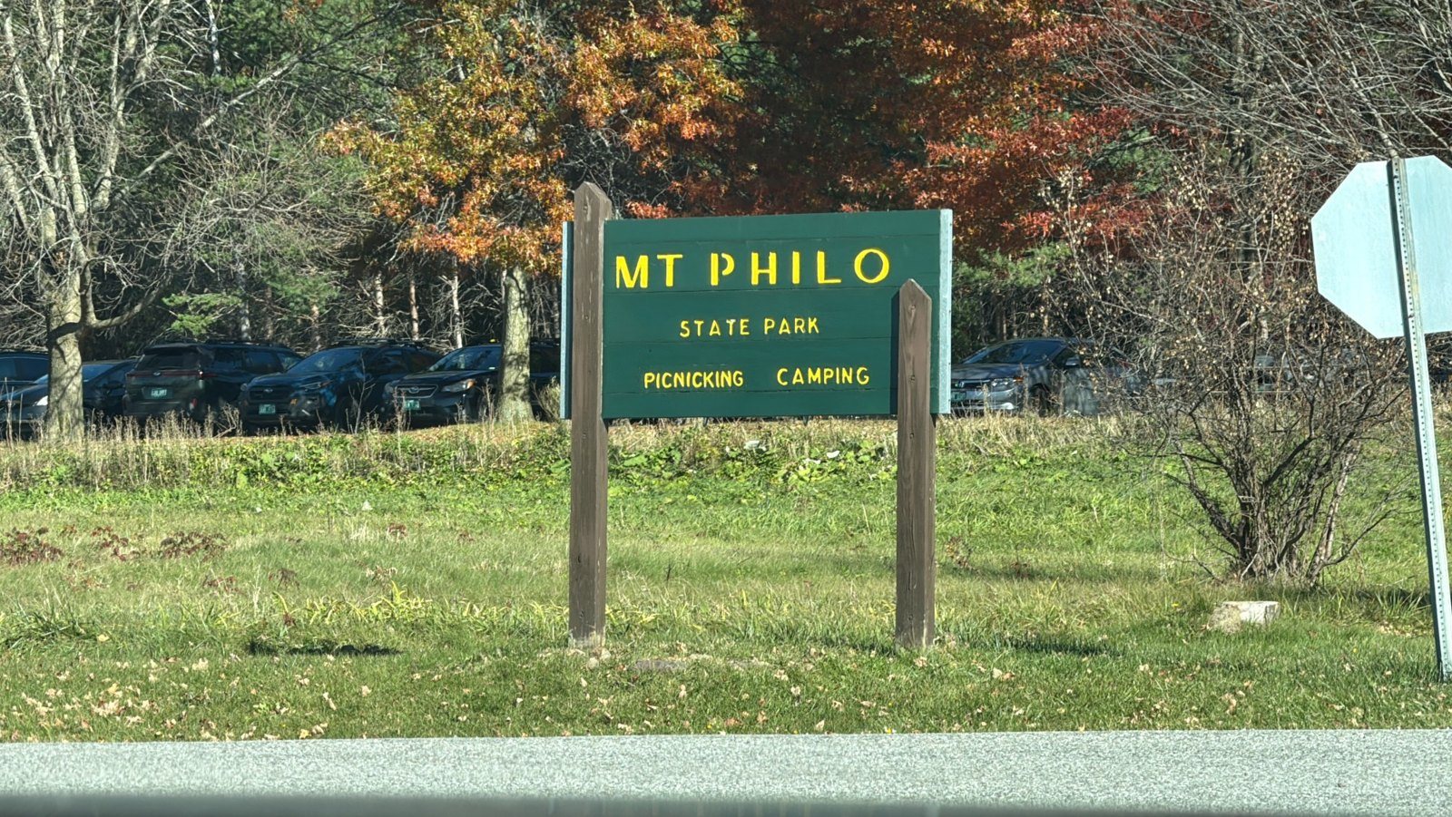
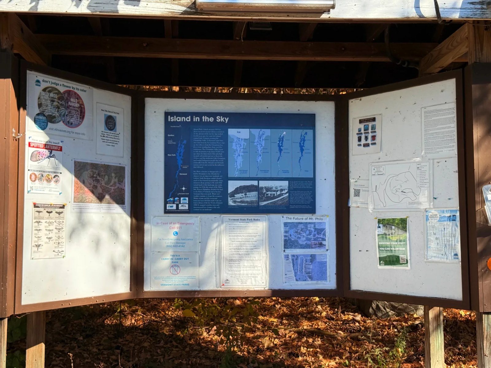
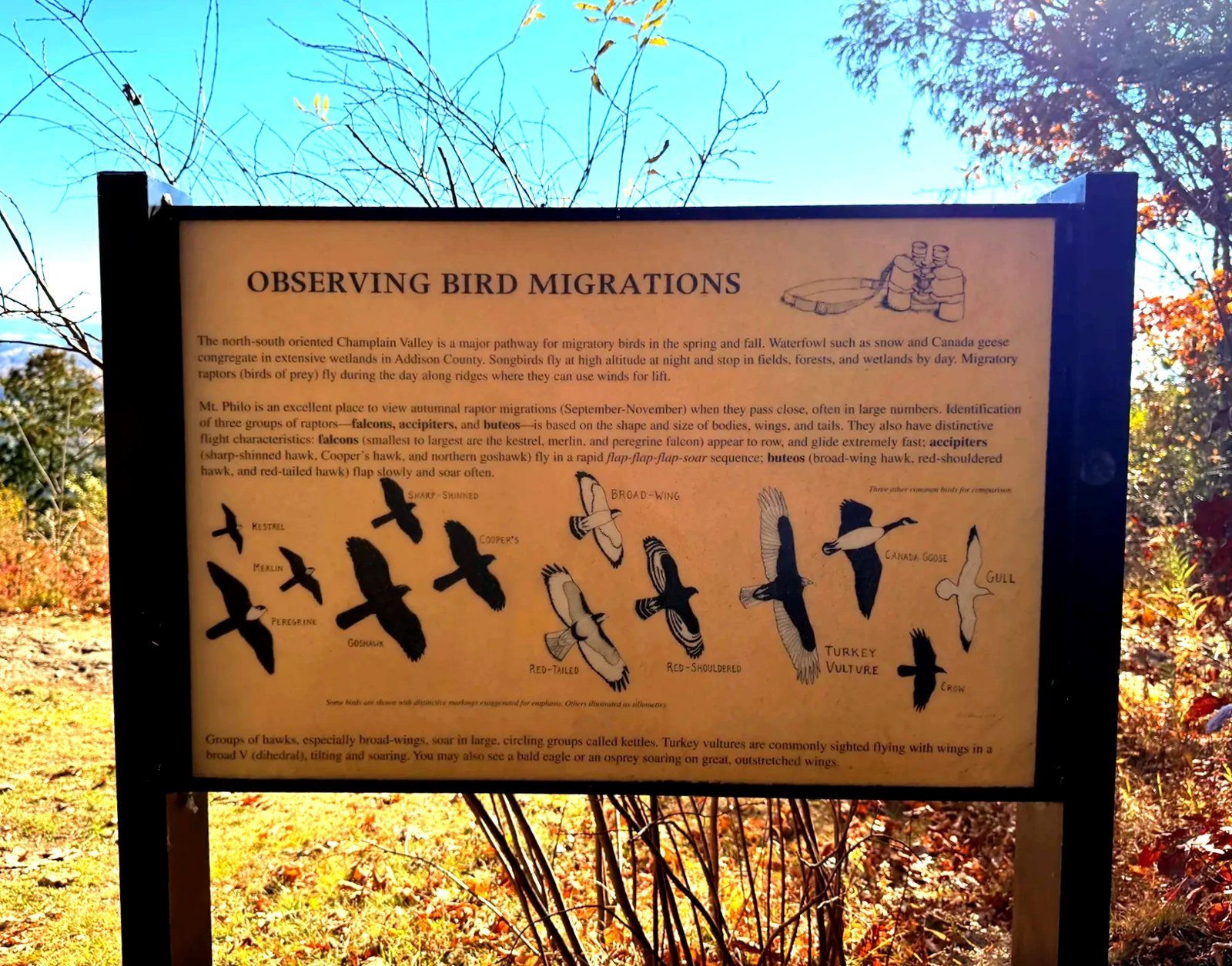
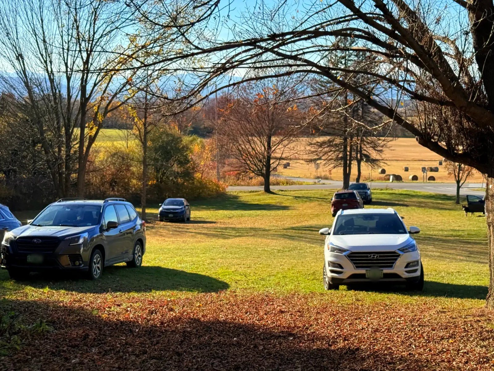
On a normal day you can drive to the top. That day, the park road to the summit was closed, so we left the car in the lower parking lot and walked up the road instead. The signboard in the lot had a map of what Lake Champlain once looked like, along with drawings for telling apart the hawks that pass over the mountain in the fall.
Red-backed salamanders under the rocks
We had barely started walking when our kid began turning over rocks in the leaf litter beside the road, one after another. Red-backed salamanders were living under them. Each time our kid found one, it went onto a palm for a closer look and then back under the rock it came from. The kid wrote this in the diary that day:
you never know what lives under a rock.
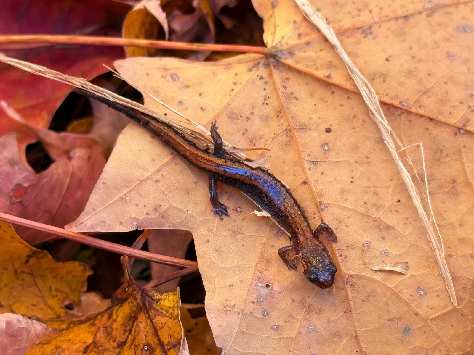
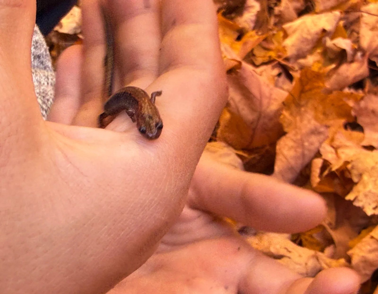
The diary also said turning over rocks “was like a lottery.” With luck, a salamander turned up; most of the time, there was nothing. We found about a dozen on the way up and about four more on the way down.
The eastern red-backed salamander is the most common salamander in Vermont. It lives in damp leaf litter and under fallen logs in hardwood forests, and rather than returning to water, it lays its eggs under rocks or rotting logs (Vermont Fish & Wildlife). If you lift a rock, put it back exactly where it was, and return any salamander to the same spot.
Tall, thin trees, yellow leaves, and leaves turning brown
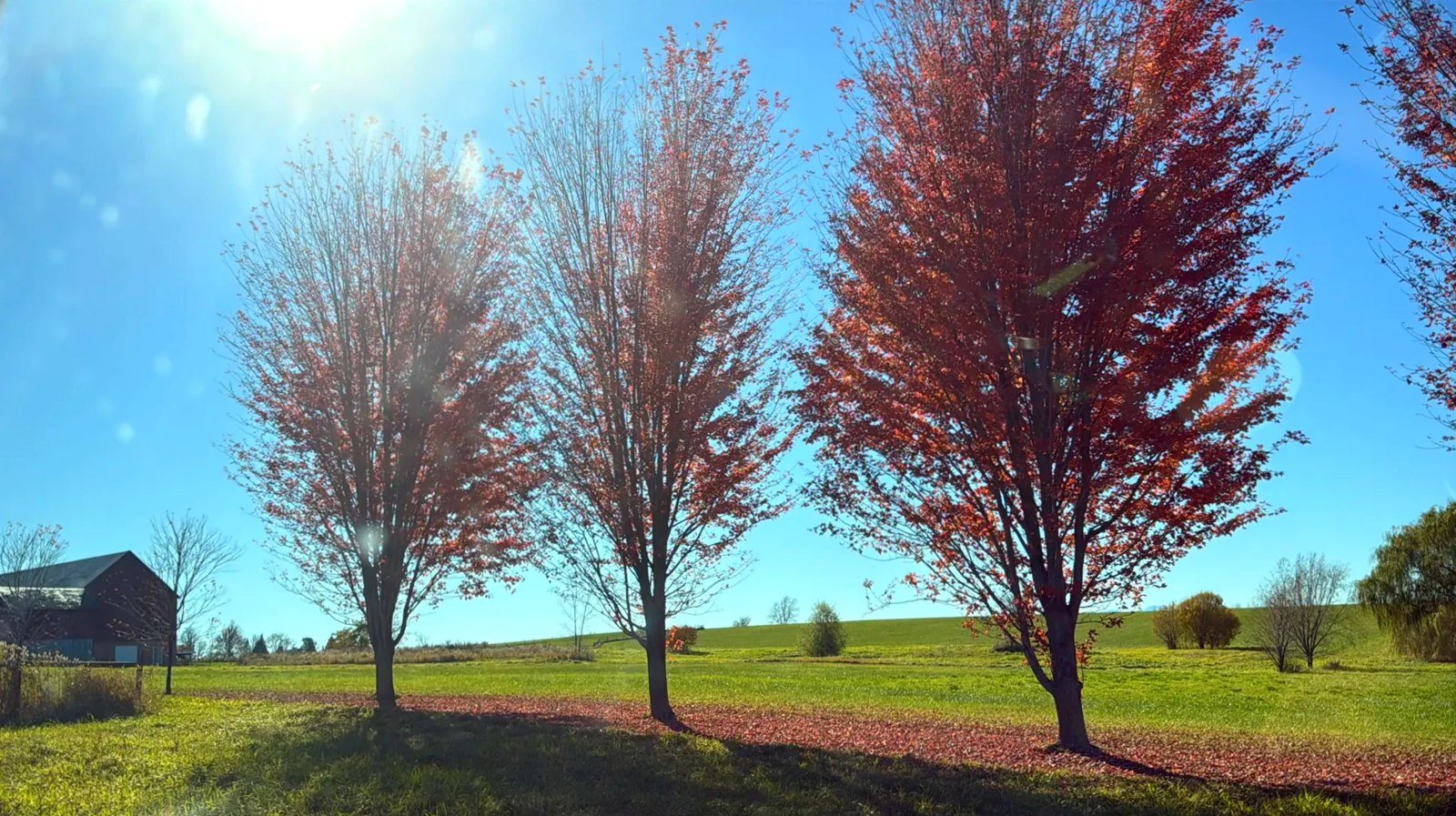
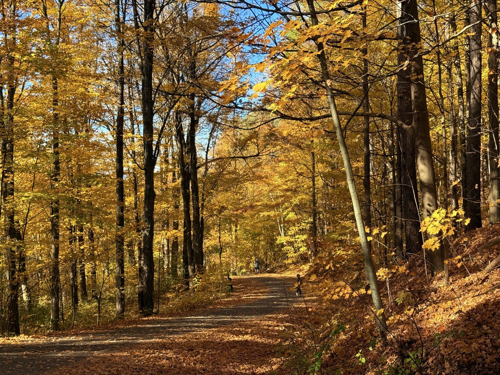
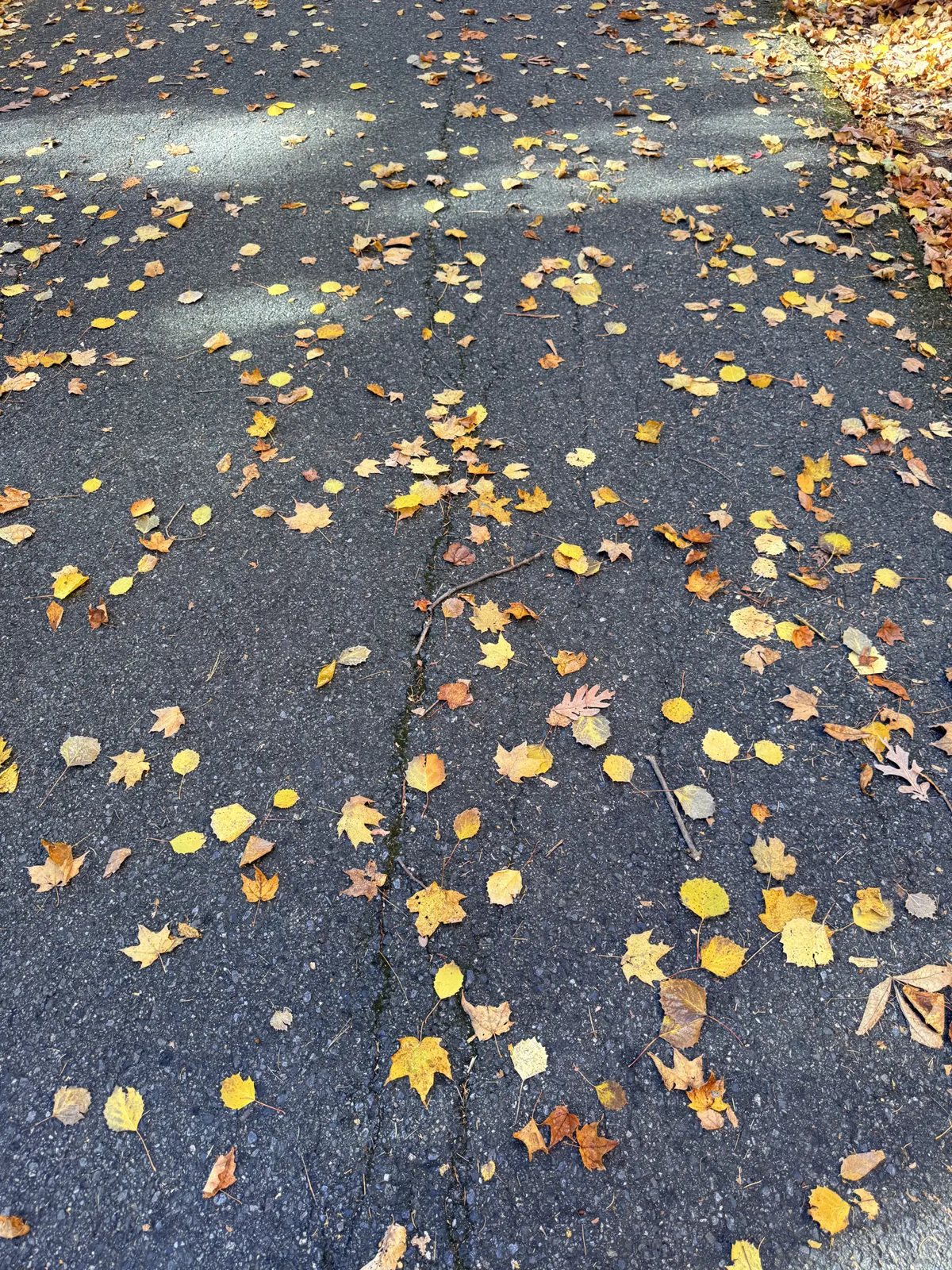
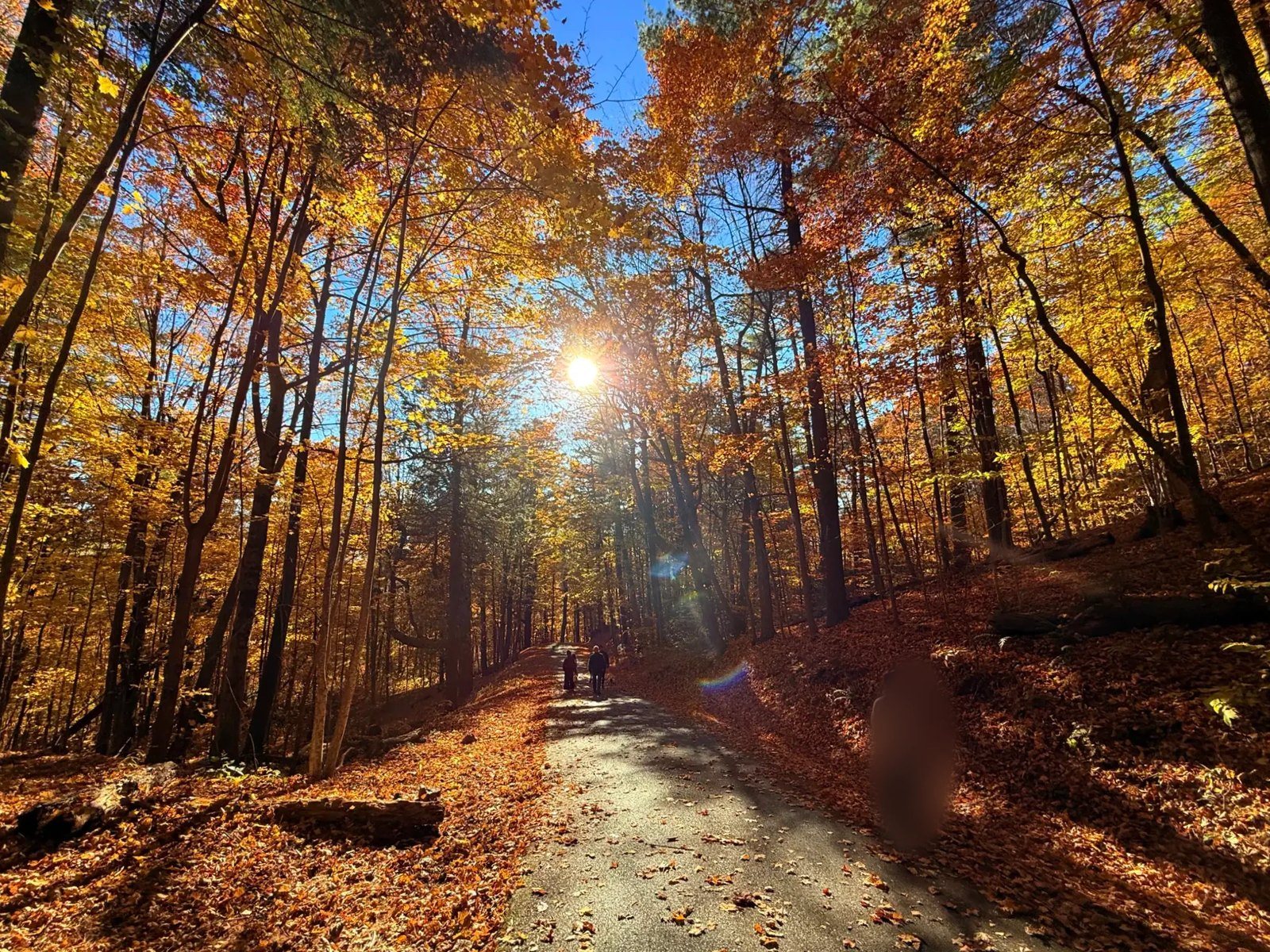
Oddly enough, the foliage on Mount Philo was almost entirely yellow, and it was right at its peak. Yellow leaves covered the tops of tall, thin-trunked trees, and underfoot the fallen leaves were turning from deep yellow to brown. The sky was very blue, and the weather was good.
About halfway up, we came across a small brown bat flying in broad daylight. It dropped low to the ground, circled around us and climbed again, over and over, then a moment later flew off into the woods.
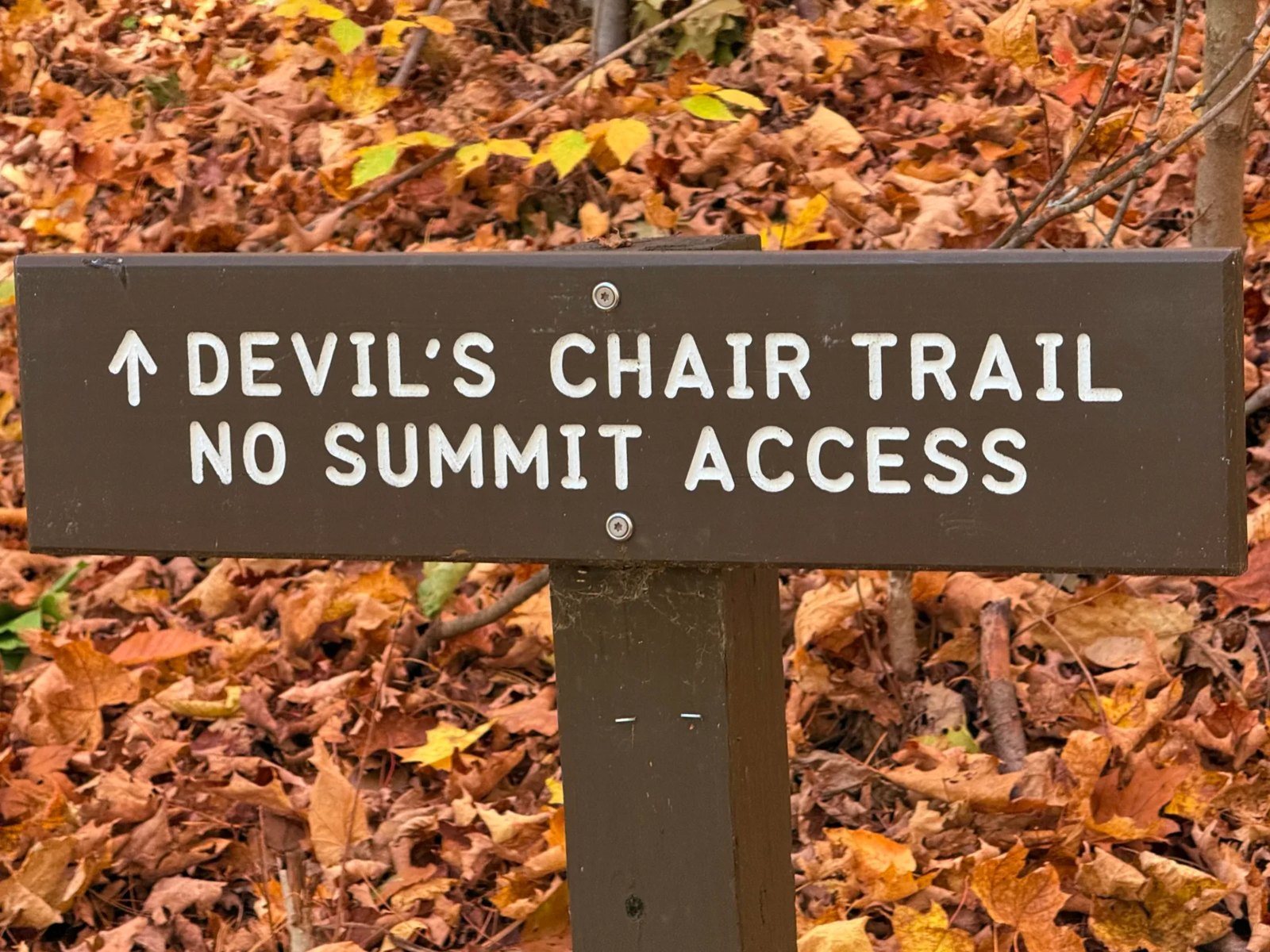
Other paths branch off on the way up, including the Devil’s Chair Trail and the Old Carriage Road Trail. The sign for the Devil’s Chair said it doesn’t go to the summit. We skipped both and stayed on the road. The Old Carriage Road is the route carriages took to the summit in 1903, and part of it survives next to today’s park road (Vermont State Parks).
Bare trees near the top
Past a certain height, nearly all the leaves had already fallen. Near the summit it was already a winter forest, while below it the fall color was still at its height. It was striking to see the season change with elevation on a single mountain.
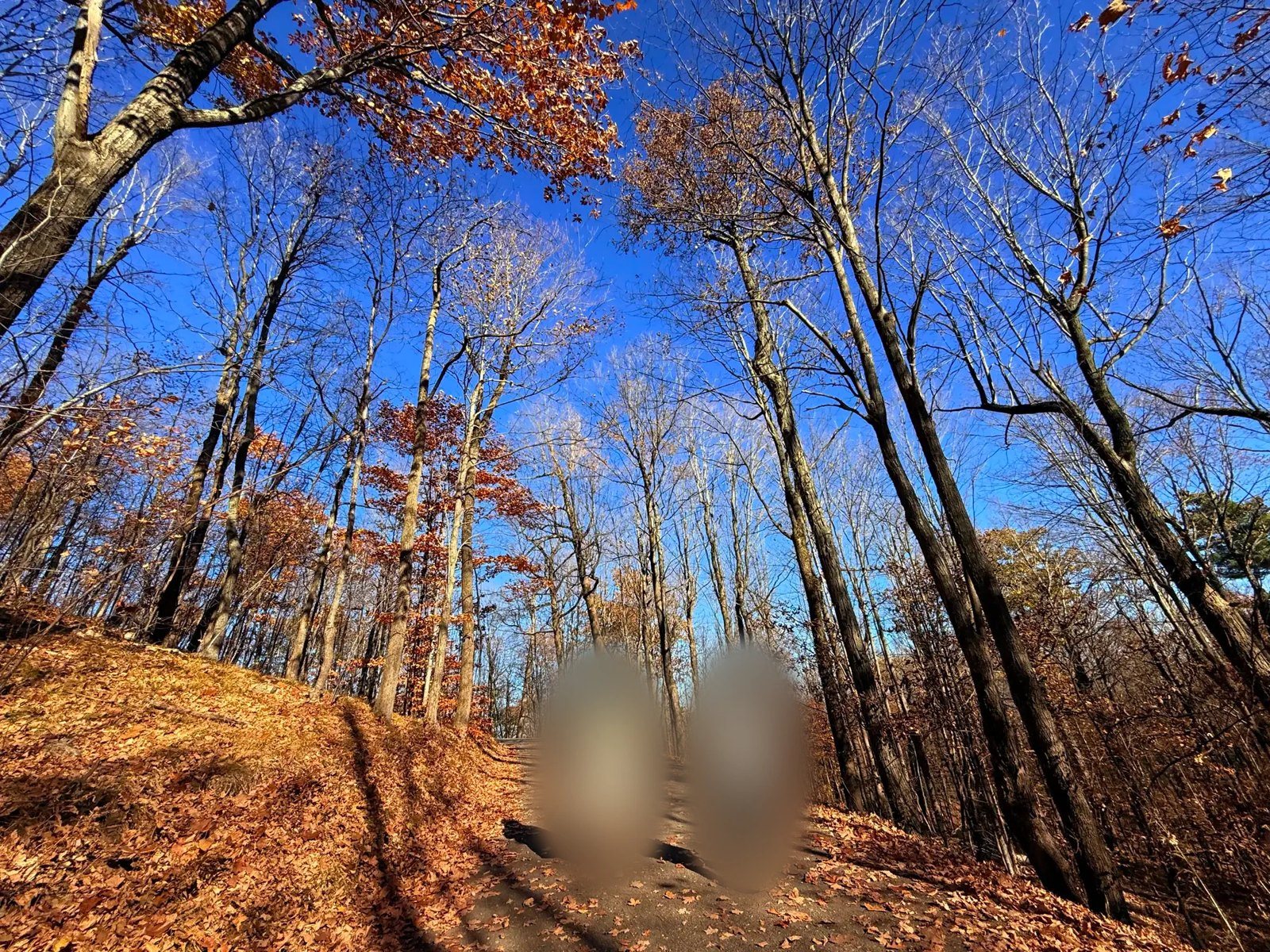
The summit and the Lake Champlain view
We reached the top around 3:10 p.m. A small building there reads “MT. PHILO, VERMONT’S FIRST STATE PARK, 1924.”
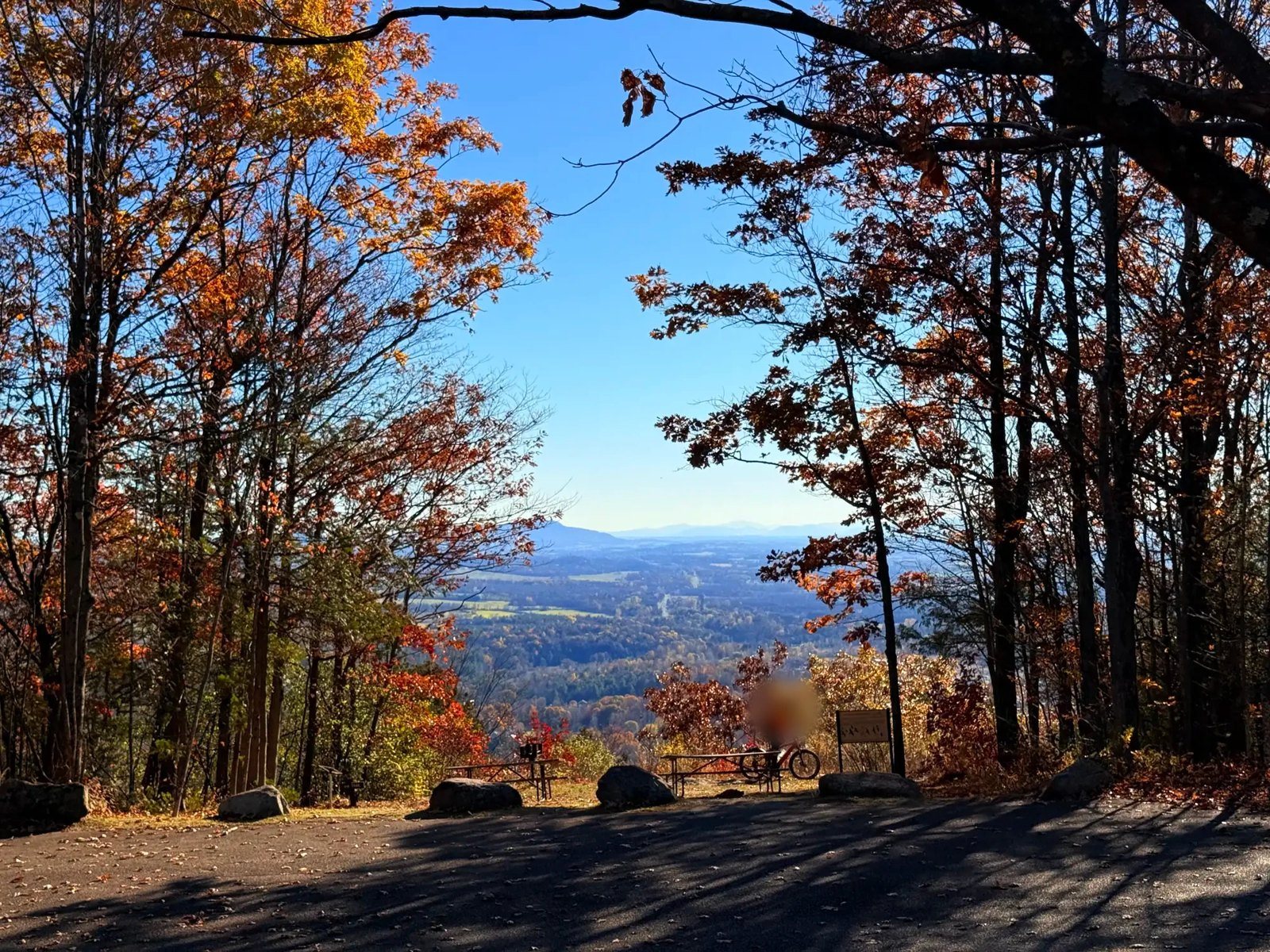
The summit is a wide, open clearing, with benches and picnic tables set where you can look out over the view. We sat there for a while, took in the scenery and took some photos. Lake Champlain lay in the distance, with the Adirondacks of New York rising beyond it.
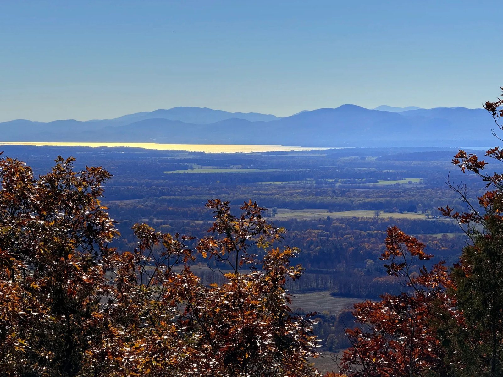
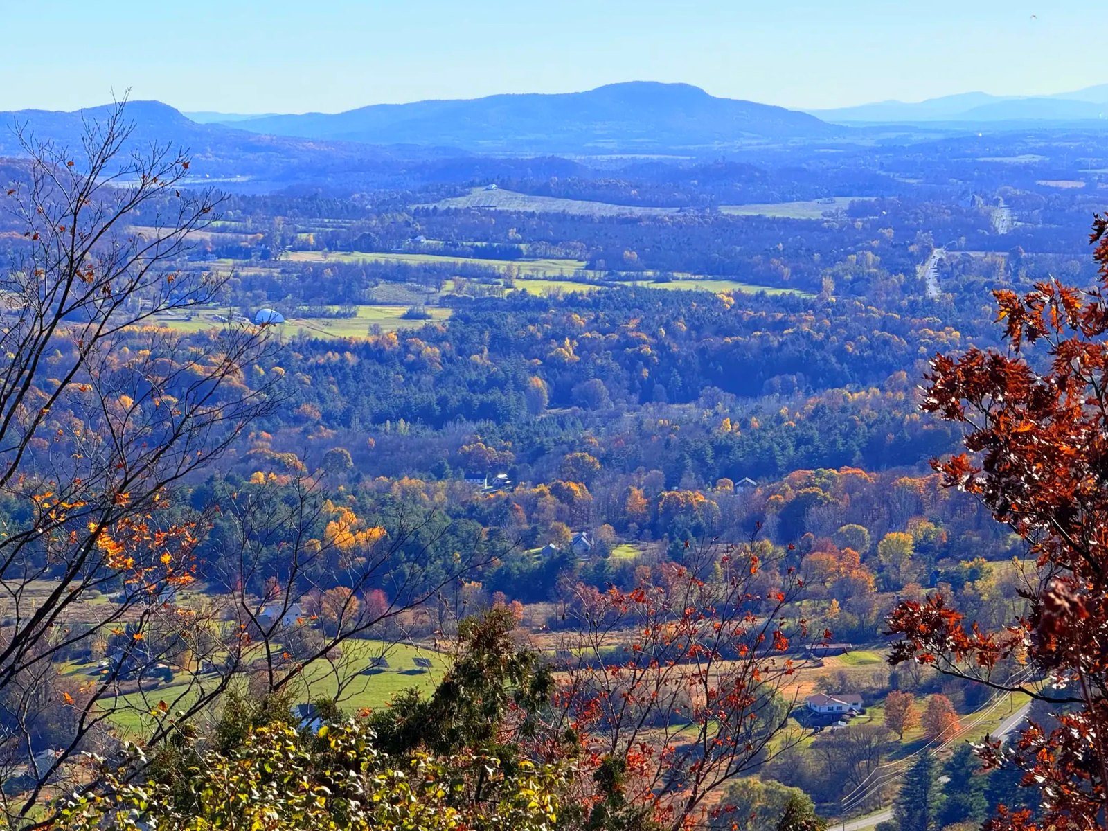
Signs for watching bird migration were posted around the summit. Mount Philo is known as a good spot to watch raptors migrate in the fall. It reminded me of our recent outing to Terrebonne, where we saw plenty of Canada geese.
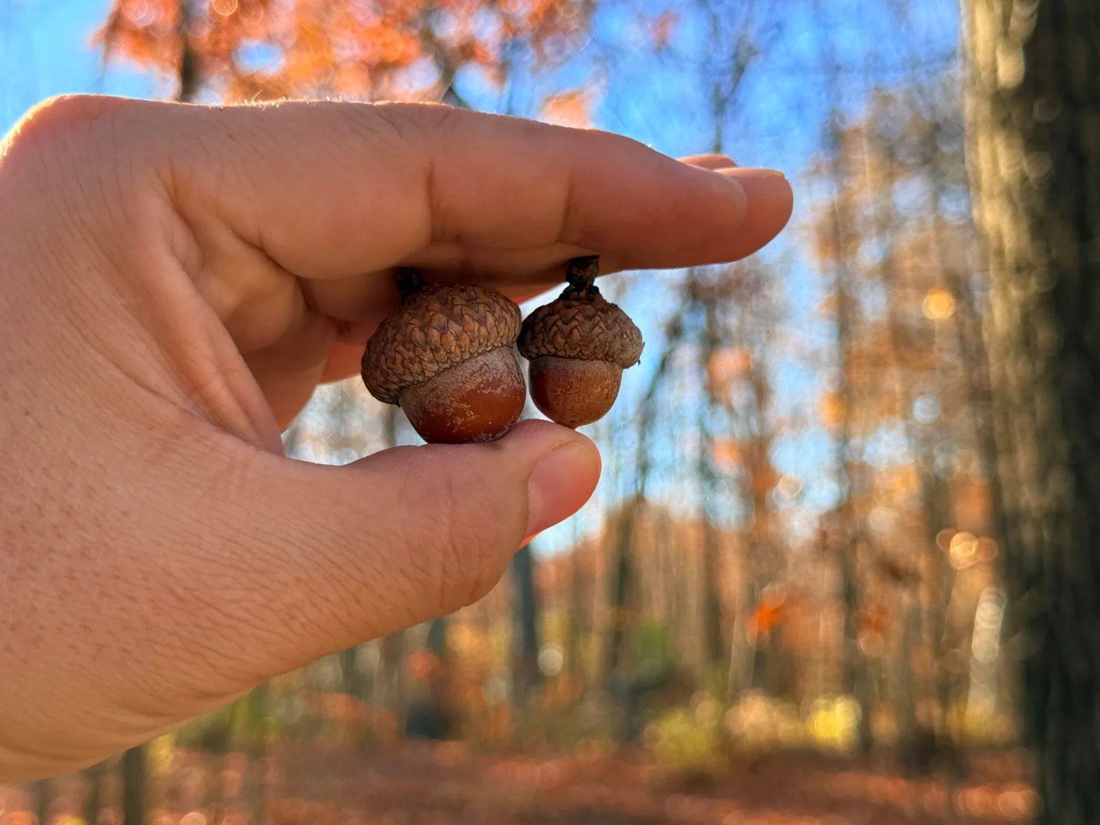
We took a family photo and picked up a few fallen acorns.
Our kid described the summit as “a bright place,” and ended the diary entry like this:
I realized that I liked the way to the summit more than it itself!
Honestly, so did we. The summit was nice, but the walk up and down was prettier.
The way down
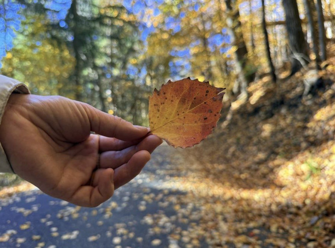
Going down, we walked a bit faster and it took about 30 minutes. Going up had taken about 45, since we took our time and played along the way with our kid. The yellow woods kept going all the way down, and we picked up one of the pretty fallen leaves.
Fees and season
SeasonFriday of Memorial Day weekend through the second Monday in October (October 12 in 2026)
Day-use hours8 a.m. to sunset
Adults (14 and over)US$5
Children (4–13)US$2
3 and underFree
Getting to the summitA road goes all the way to the top; it’s steep and narrow.
The hiking trail to the summit is about 3/4 mile (1.2 km).
Per the official Vermont State Parks website, checked October 26, 2026. After the season ends, the summit road may be closed. It was closed the day we went, so we walked up from the lower parking lot.
Heading back: Lake Champlain and Dunkin’
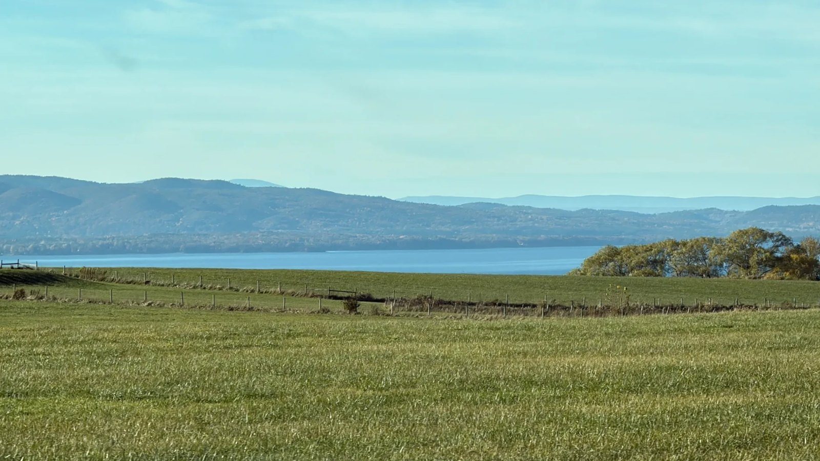
We drove back north on Route 7. At one spot the road gave a wide view of Lake Champlain, and in the villages near Shelburne, scarecrows were lined up in rows.
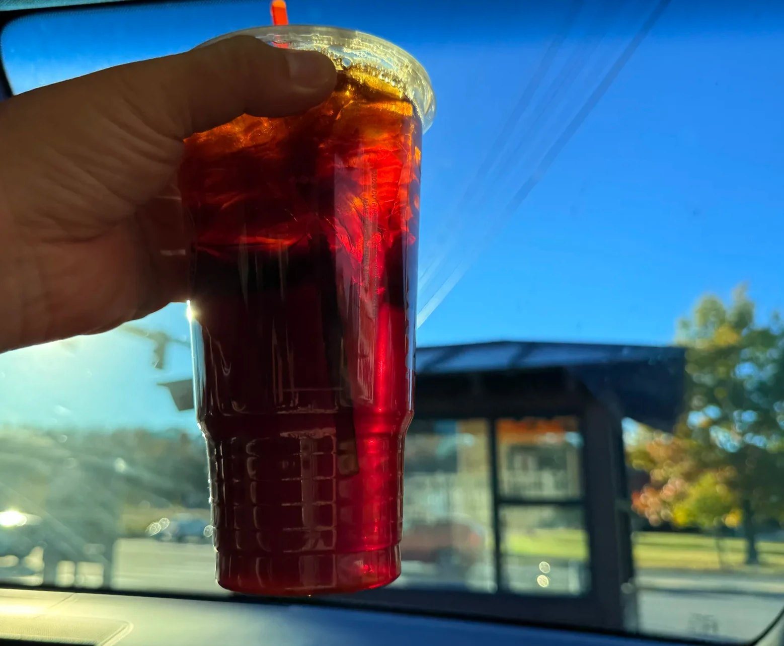
Just north of Shelburne, we stopped at a Dunkin’ for an iced Americano.
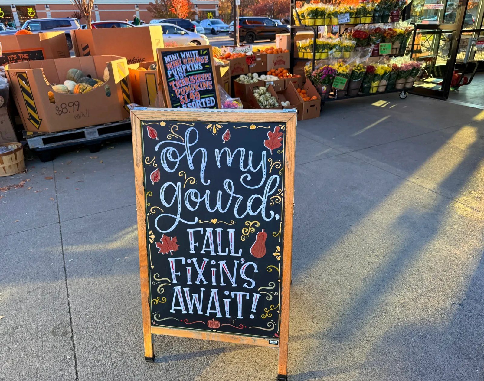
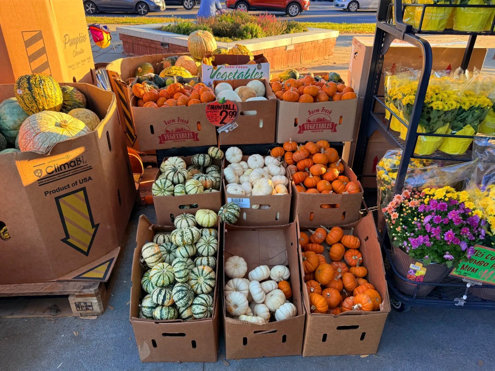
Trader Joe’s in South Burlington, pumpkin season
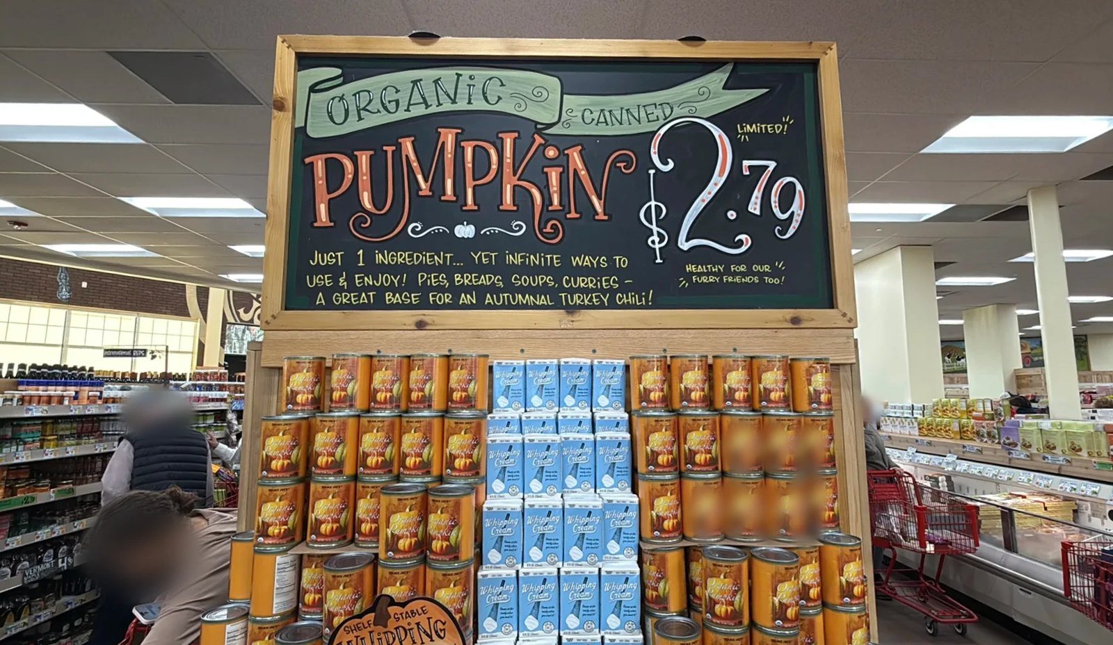
Next came the Trader Joe’s in the same part of South Burlington where we’d had lunch. Pumpkins were piled up at the entrance, and a chalkboard reading “oh my gourd” set the fall mood. Inside, there were many pumpkin-themed products.
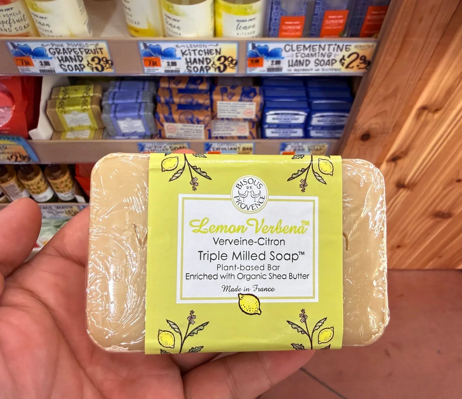
At Trader Joe’s we usually try one offbeat thing, a soap, say, and pick up a few things that are easy to cook. This time it was kefir, carrot juice and the Puffins cereal we always buy when we’re down this way. For our kid, who loves mackerel fishing, we also picked out a “Holy Mackerel!” postcard with a mackerel on it.



Costco in Colchester, then the border
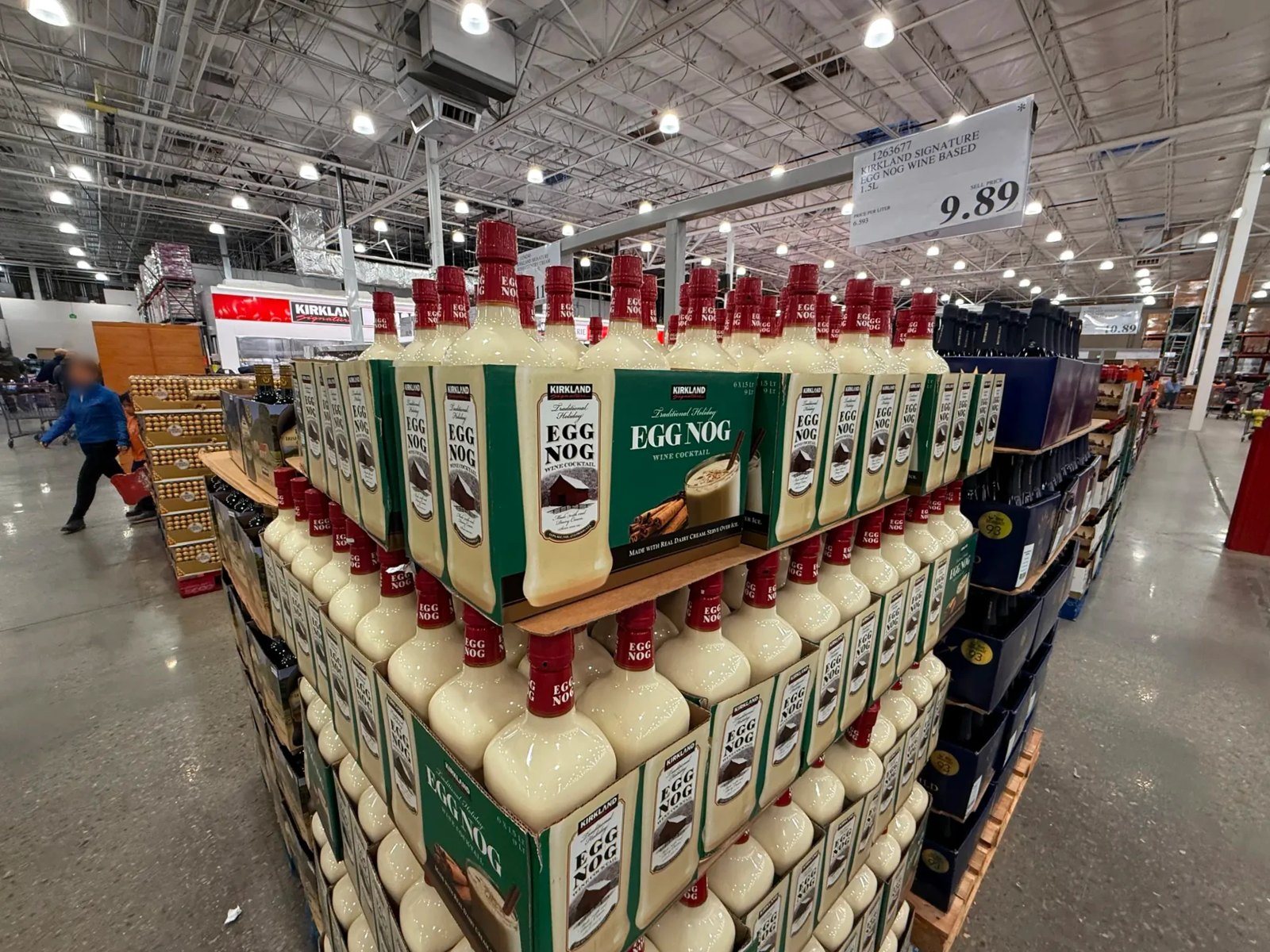
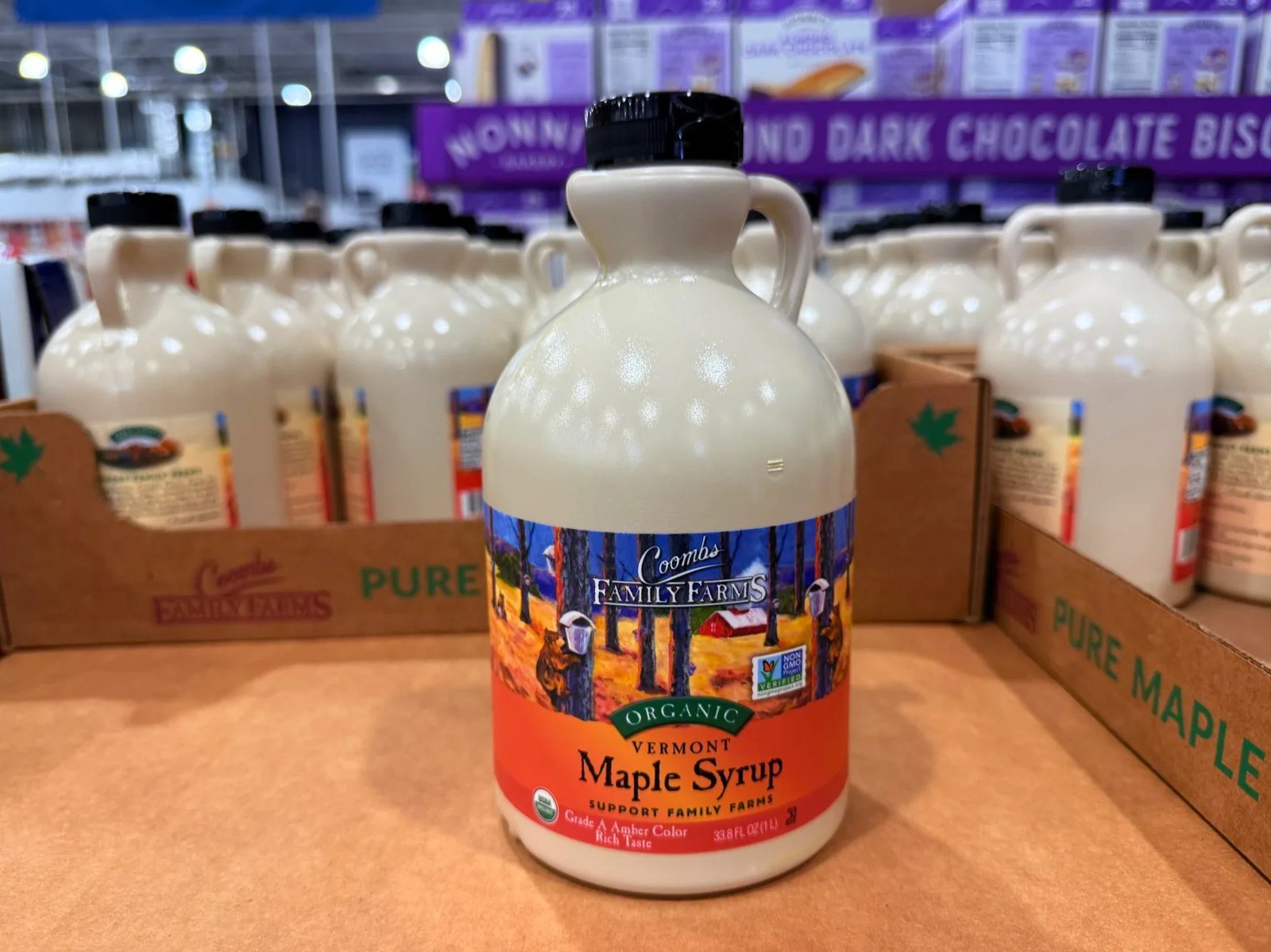
Our last stop was the Costco in Colchester, to look around and pick up a few things. Seasonal items like maple syrup and eggnog were piled up. We filled up at the Costco gas station and headed for the border.
We were back at the same crossing around 7 p.m. This time we got through quickly, and we were home around 8:10 p.m.
FAQ
How long does it take to walk to the top of Mount Philo?
Walking up the park road from the lower parking lot took us about 45 minutes, and coming down took about 30. That was at a slow pace, with our kid looking for salamanders along the way. The hiking trail to the summit is about 3/4 mile (1.2 km).
Can you visit Mount Philo after mid-October?
The official season runs through the second Monday in October. When we went on October 25, the summit road was closed, so we parked in the lower lot and walked up.
Do I need an I-94 to drive from Montreal to Vermont?
Usually, if you’re not a Canadian citizen. We needed one. This time we got ours at the border. You can also apply online in advance. Since September 30, 2025, it costs US$30 per person.
What lake do you see from the summit?
Lake Champlain. On a clear day you can see past it to the Adirondacks in New York State.
How long does the border take on a day trip from Montreal?
It changes from day to day. On our Vermont day trip from Montreal, only two inspection lanes were open on the way down and it took close to an hour; coming back in the evening, we got through quickly.
The day at a glance
Time on the roadLeft at 9:30 a.m., home at 8:10 p.m.
Mount Philo2:15–4 p.m., up and down on foot
FoliageFading on the Quebec side, peak yellow on the Vermont side, mostly bare near the summit
BorderSaint-Armand / Highgate Springs (I-89), about an hour going south
Vermont’s yellow foliage was a different thing from the reds we’d seen in Quebec. The view from the top of Mount Philo was good, but the walk up and down through the yellow woods was even prettier. Our kid said the same: the way there beat the summit.
Stay
To stay a night and see more of Vermont’s fall colors
Mount Philo and Trader Joe’s are both close to South Burlington. Stretch the trip to two days and you can add Shelburne Farms or Ben & Jerry’s.
Map and route
From Montreal we drove past Saint-Jean-sur-Richelieu, crossed the border at Saint-Armand, took I-89 down to South Burlington, then followed US-7 to Mount Philo in Charlotte. We came back the same way.
Mount Philo State Park5425 Mt. Philo Rd., Charlotte, VT 05445
ChipotleSouth Burlington
Trader Joe’sSouth Burlington
CostcoColchester
What we needed for this trip
What to bring
PassportEveryone needed one, since the day trip crossed the US border by car.
I-94 (US arrival/departure record)None of us are Canadian citizens, so we needed an I-94 to enter the US by land. You can apply online in advance or get it at the border. US$30 per person since September 30, 2025.
CarWe drove our own car. The whole day ran by car: the border, South Burlington, Mount Philo and the shopping stops. Car rentals →
Car rental
If you’re in Montreal without a car
A Vermont day trip is hard to do by public transit. If you rent, make sure the car is allowed across the US border.
Sources
- Vermont State Parks, Mount Philo State Park (checked October 26, 2026)
- Vermont State Parks, Fees (checked October 26, 2026)
- National Weather Service, Burlington climate report (October 25) (checked October 26, 2026)
- U.S. Customs and Border Protection, I-94 (checked October 26, 2026)
- Vermont Fish & Wildlife, eastern red-backed salamander (checked October 26, 2026)
Not in the list? Search it yourself
Places to stay nearby, on a map
Affiliate link: if you book through this search, the blog earns a commission at no extra cost to you. Results open in a new tab. About affiliate links
Discover more from Elsewhere, Mostly
Subscribe and get new posts sent straight to your inbox.