Winter Grand Circle, part 10 · Saturday, December 25, 2021 (Christmas Day)
On Christmas morning our kid opened Santa’s present, and then we left Las Vegas. In one day we drove past wrinkled badlands, sand dunes and a salt flat, and reached the colored hills at sunset.
- This postThis was day nine of our winter Grand Circle road trip, a counterclockwise loop by rental car in December. That day we did a Death Valley day trip from Las Vegas. Our kid opened Santa’s present at the hotel on Christmas morning. Then we headed out to Zabriskie Point, the Furnace Creek Visitor Center, Mesquite Flat Sand Dunes, Harmony Borax Works, and Artists Drive with Artist’s Palette. Our kid earned a Junior Ranger badge at the visitor center.
- WhereEastern California, just inside the Nevada line. Furnace Creek, in the middle of the park, is about a two-hour drive west of Las Vegas.
- Date and weatherDecember 25. The sky was clear and the high was around 19°C (66°F). A thin long-sleeve shirt was enough at midday. The sun set around 4:35 p.m.
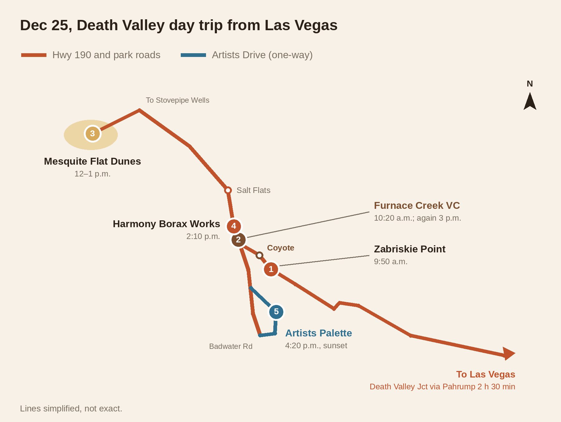
- StopsZabriskie Point 30 minFurnace Creek Visitor Center 1 hr in the morning, 30 min in the afternoonMesquite Flat Sand Dunes 1 hrSalt flat along CA-190 20 minHarmony Borax Works 45 minArtists Drive and Artist’s Palette 1 hr 15 min
- EntryWe got in with our national parks annual pass. The current fee is $30 per vehicle for seven days (as of October 2026). Death Valley is not one of the parks that charge the $100 nonresident surcharge starting in 2026.
- BookingWe booked nothing ahead. If you’d rather not drive, there’s a Death Valley day tour that leaves from Las Vegas hotels.
- Where we stayedBally’s on the Las Vegas Strip, now called Horseshoe Las Vegas
- Who wentOur family of three (one kid)
- The day’s routeSaturday, December 25
- Las VegasHotelDepartWest through Pahrump
- 🚗 2 hr 20 min
- Zabriskie PointOverlook30 minWrinkled badlands
- 🚗 10 min
- Furnace Creek Visitor CenterInfo1 hrJunior Ranger
- 🚗 40 min
- Mesquite Flat Sand DunesPlay1 hrIn a Santa hat
- 🚗 Short stop at the salt flat
- Harmony Borax WorksOld works45 minThen the badge at the visitor center
- 🚗 20 min south
- Artist’s PaletteSunset30 minOn Artists Drive
- 🚗 2 hr 25 min
- Las VegasHotelBackKÀ that night (next post)
Contents
Where Death Valley is, and why winter
Death Valley National Park sits at the far eastern edge of California, right up against Nevada. It’s the largest national park in the contiguous United States. The park is built around a long, narrow basin with high mountain ranges walling it in on both sides. Its lowest point, Badwater Basin, is 86 m (282 ft) below sea level. The middle of the park is about two hours’ drive west of Las Vegas, so a Death Valley day trip from Las Vegas is a popular choice for people staying in the city.
The name is said to date from the 1849 gold rush. A party that had a very hard time crossing the valley supposedly said “Goodbye, Death Valley” on the way out. It counts among the hottest and driest places on Earth. The 57°C (134°F) recorded at Furnace Creek on July 10, 1913, still stands as the world’s highest temperature on record, though meteorologists dispute whether that reading is accurate.
All of which makes Death Valley a winter park. In December the average high is about 18°C (64°F) and the average low about 3°C (37°F). The day we went, it was around 19°C (66°F). We had come through snow-covered Bryce Canyon and rainy Zion a few days earlier, so it felt like spring to us. Several people had recommended Death Valley before we went, and they all said the same two things: the landscape is completely different, and winter is a good time to go.
Death Valley weather: when to go
- Winter (December–February)Good walking weather during the day, chilly at night and in the morning. Average December high 18°C (64°F), low 3°C (37°F). The days are short, and it gets dark before 5 p.m.
- Spring (March–April)Wildflowers bloom in years with enough rain. This is the busiest season.
- Summer (June–September)Midday temperatures easily top 45°C (113°F). Avoid plans with long walks away from the car, and hike only around sunrise.
Christmas morning, leaving Las Vegas
The night before, we had driven down from Zion, reached Las Vegas and checked into Bally’s. Christmas Eve on the Strip and the hotel where we spent two nights get their own write-up in the last post of this series.
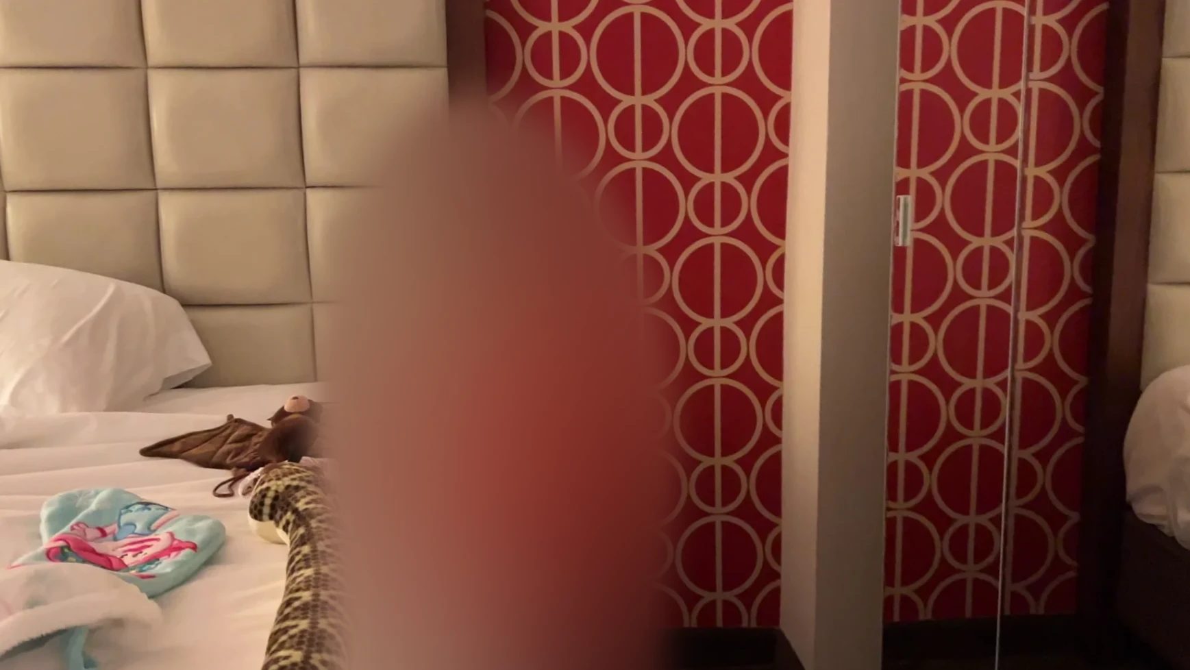
On Christmas morning, the first thing our kid did after waking up was check for a present from Santa. Santa had left a big stuffed snake, a stuffed bat and a book about reptiles on the bed. Our kid unwrapped them one by one and was happy for a long while.
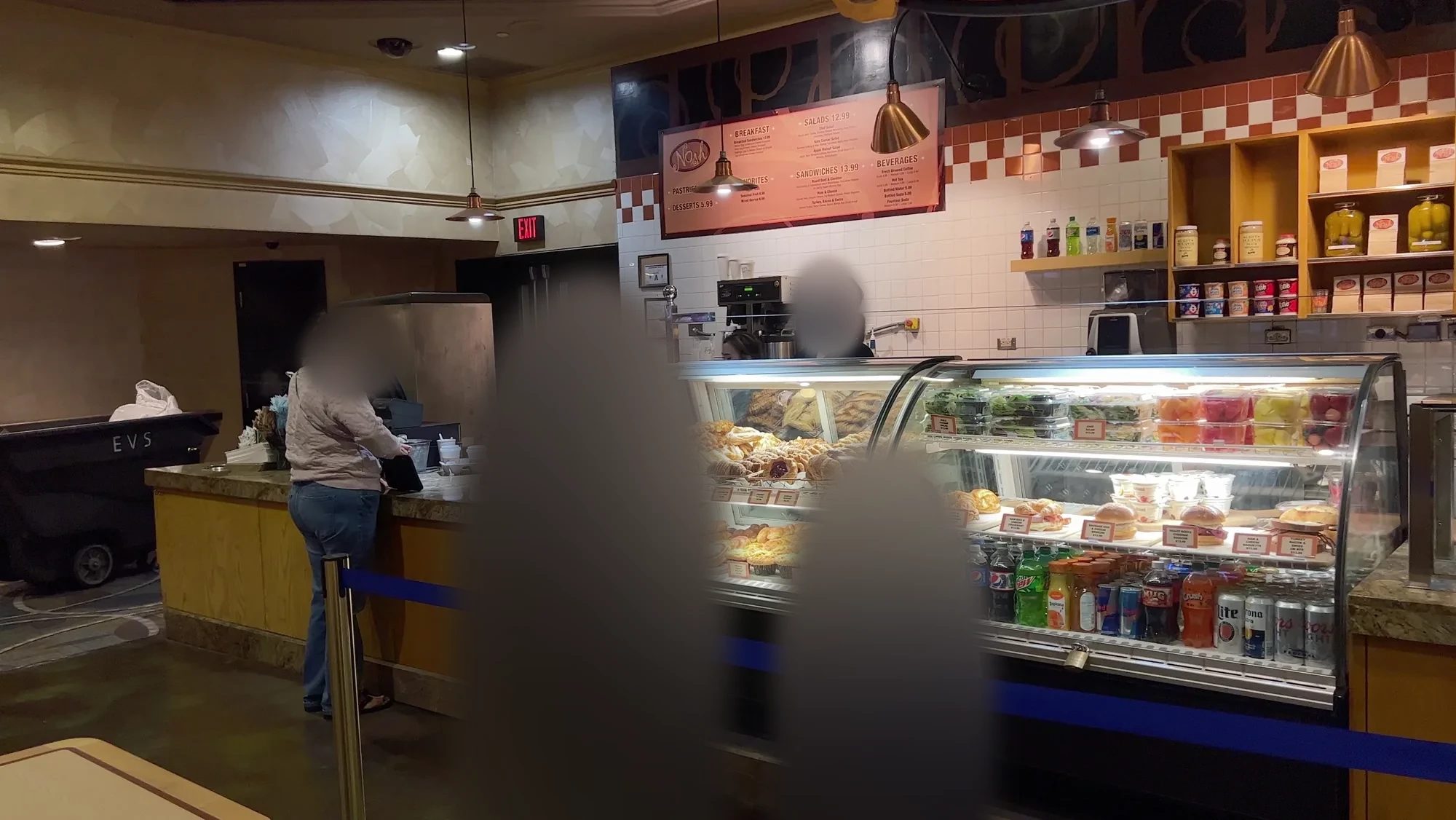
We bought breakfast at Nosh Deli inside our hotel, Bally’s, which is now Horseshoe Las Vegas. Bally’s changed its name to Horseshoe Las Vegas in December 2022, and it’s still in the same spot in the middle of the Strip. It was a little before 7 a.m., but it was already open, which was a nice surprise. We picked up coffee and some simple pastries to take with us. There are only a few places to eat inside Death Valley, it’s easier to bring breakfast and snacks from Las Vegas.
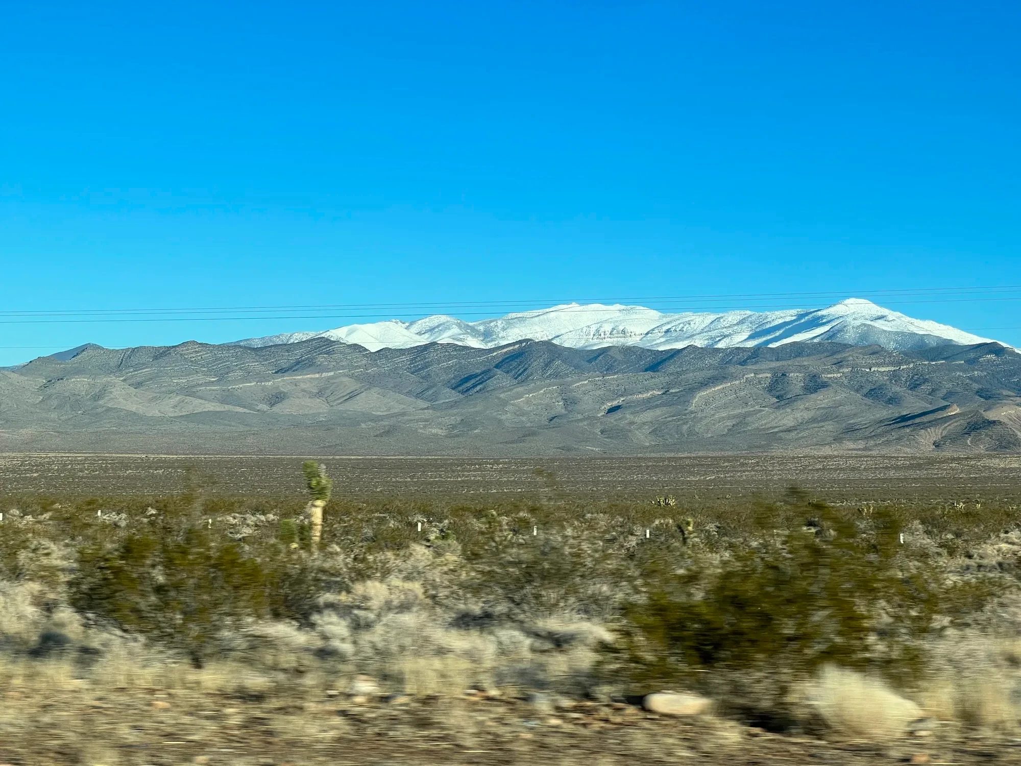
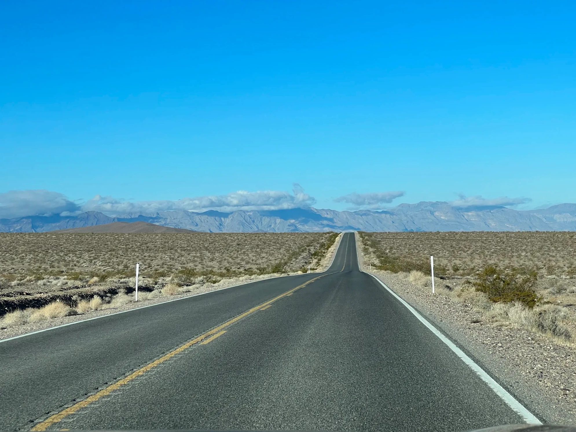
We had been told that the gas stations inside the park are few and expensive, so we filled up first and left around 7:30 a.m. From Las Vegas, NV-160 heads west over the mountains to a small town called Pahrump. From there you keep going west, pass Death Valley Junction and enter the park on CA-190. On the way over the mountains we could see snow-covered peaks in the distance. Snowy mountains standing in the middle of the desert looked strange, and beautiful.
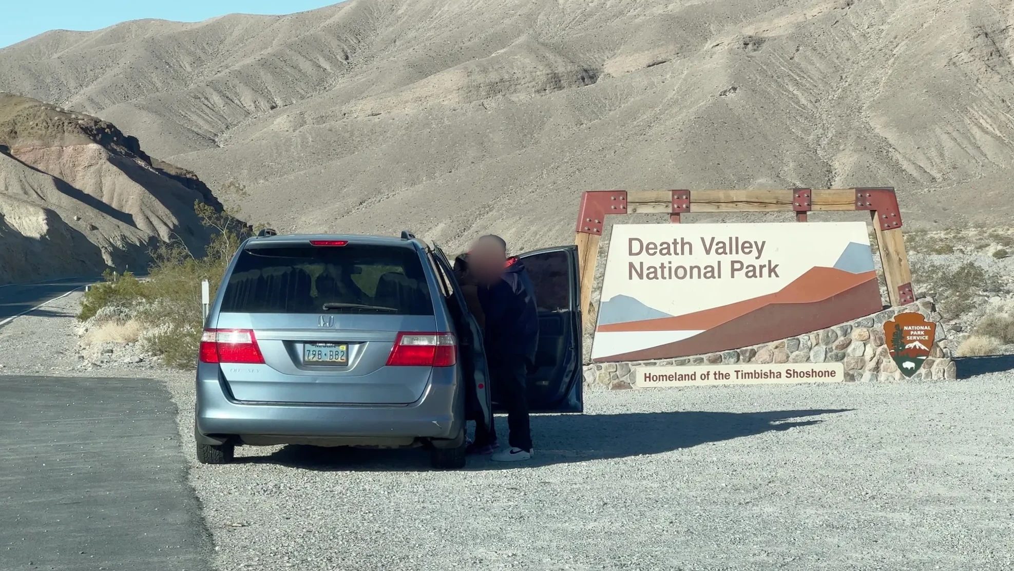
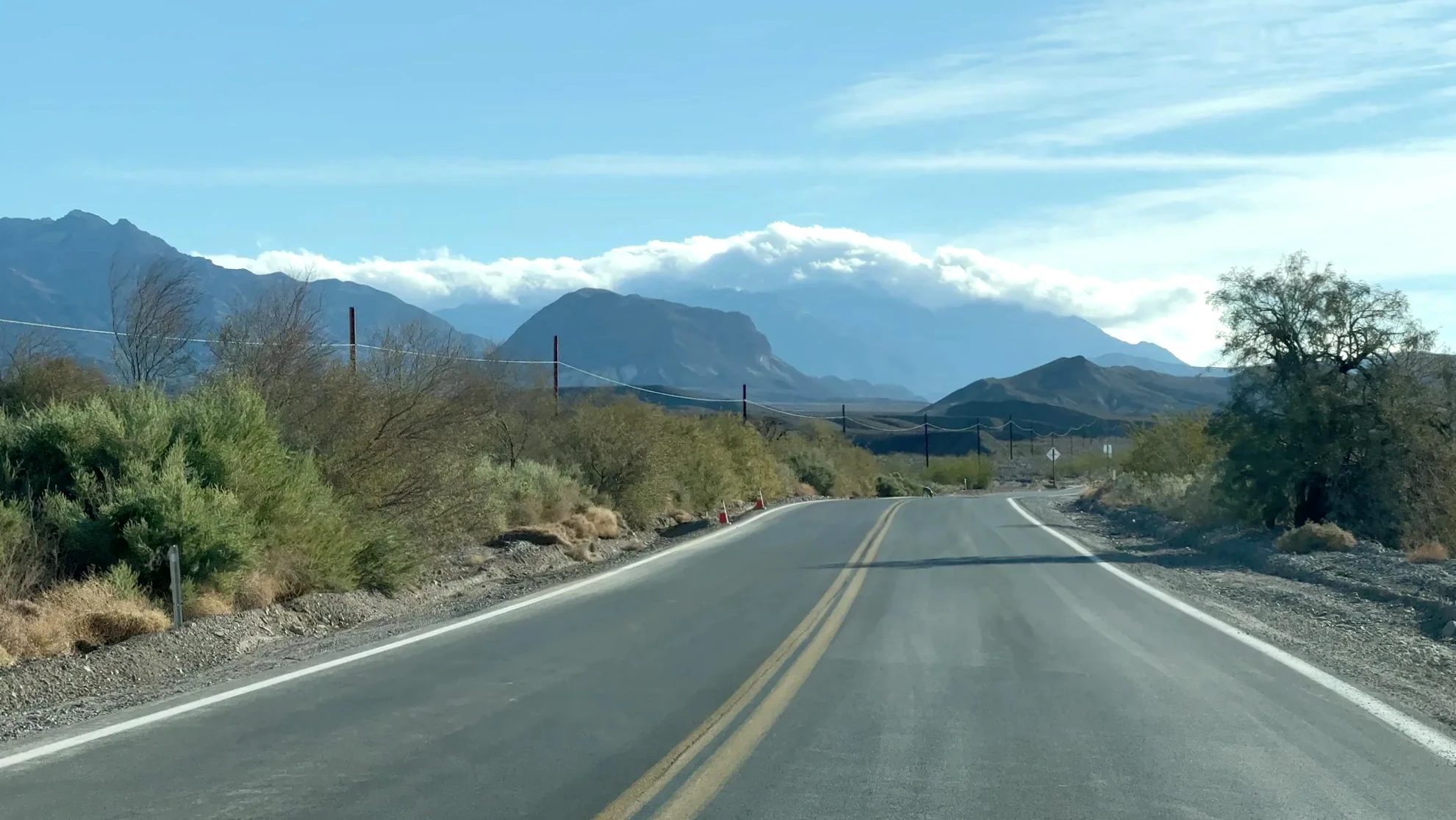
Around 9:20 a.m. we passed the park sign. As CA-190 dropped down into the basin, we could see clouds spilling over the mountains.
A coyote by the road
We were almost at Furnace Creek when an animal that looked like a dog crossed by the roadside. It was a coyote. My wife and I had never seen one, and we both shouted. The noise woke our kid, who burst into tears at being the only one who missed it. Our kid had been begging to see animals in the desert. So at the first spot where we could turn around, we did, and went back, and the coyote was still right where we’d left it. The tears stopped, and our kid finally smiled.
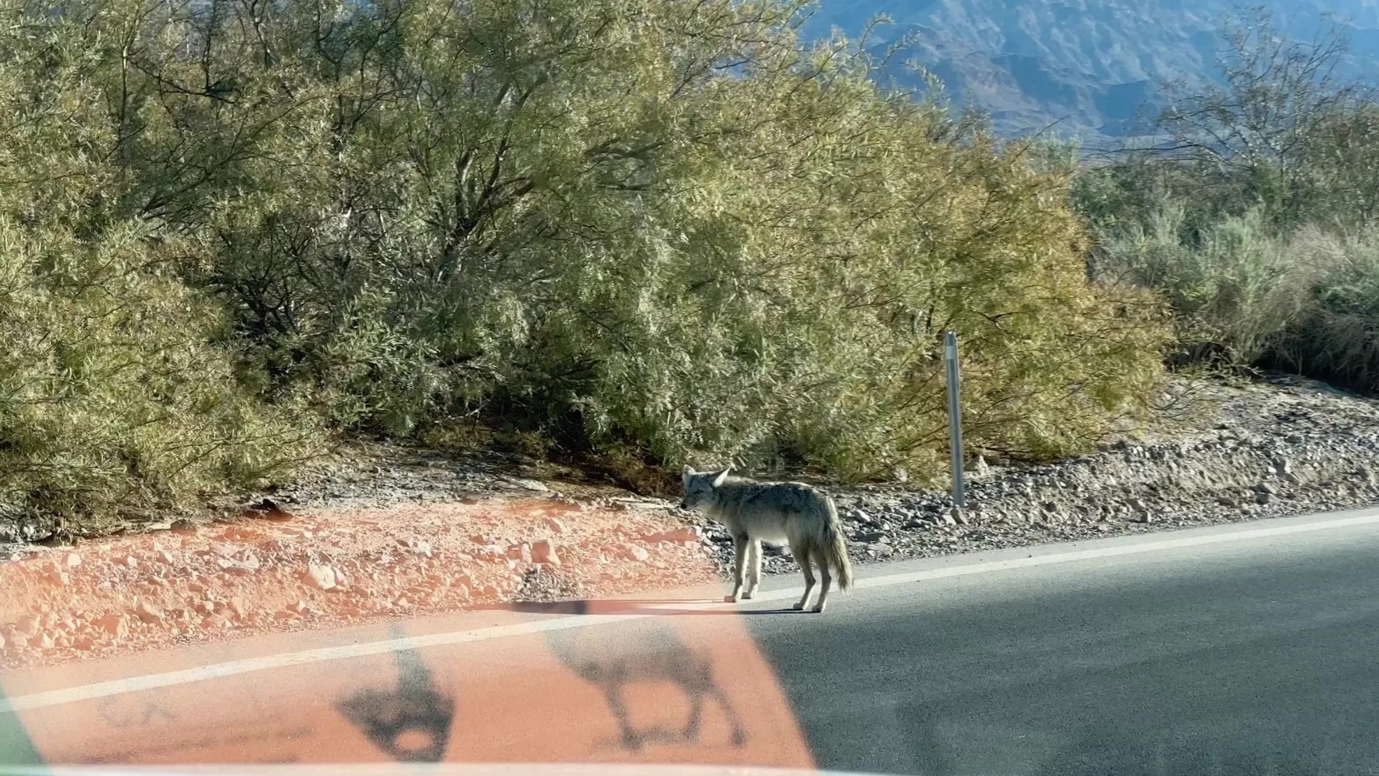
The National Park Service asks visitors not to feed coyotes. Once they’ve been fed, they come up to the roadside and are more likely to be hit by cars. We only watched from inside the car.
Zabriskie Point and the wrinkled badlands
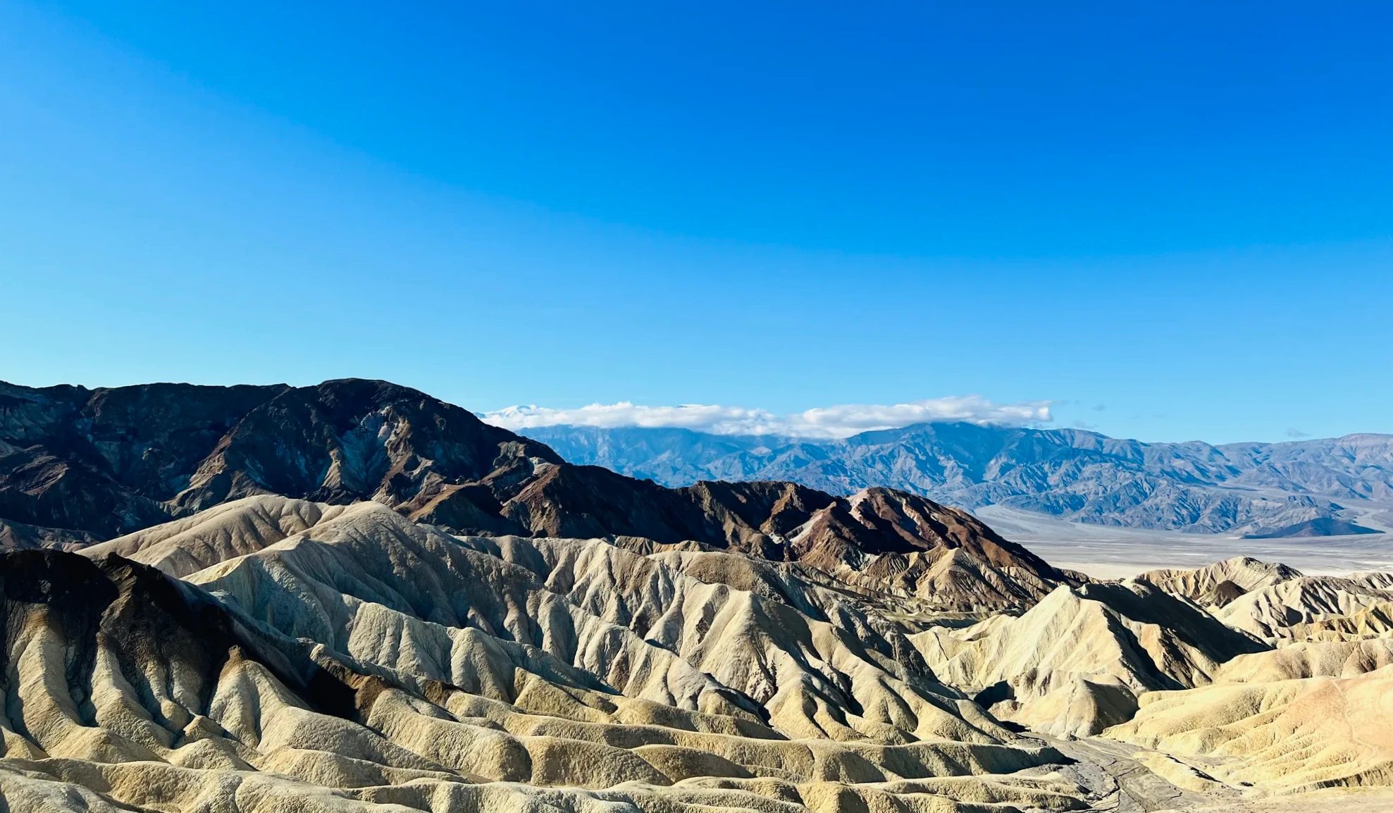
We reached Zabriskie Point around 9:50 a.m. From the parking lot, a paved path climbs a short hill to the viewpoint in a few minutes. In front of us, yellow and brown hills ran on and on, crumpled into wrinkles. Folded like a brain, you could say. It looked like none of the canyons we had seen on this trip.
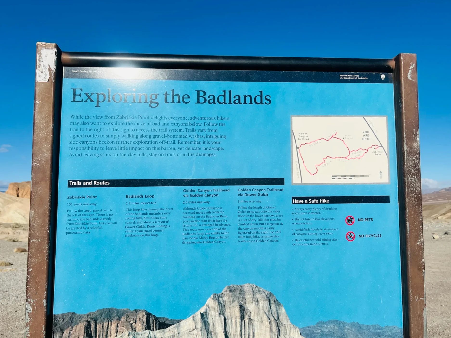
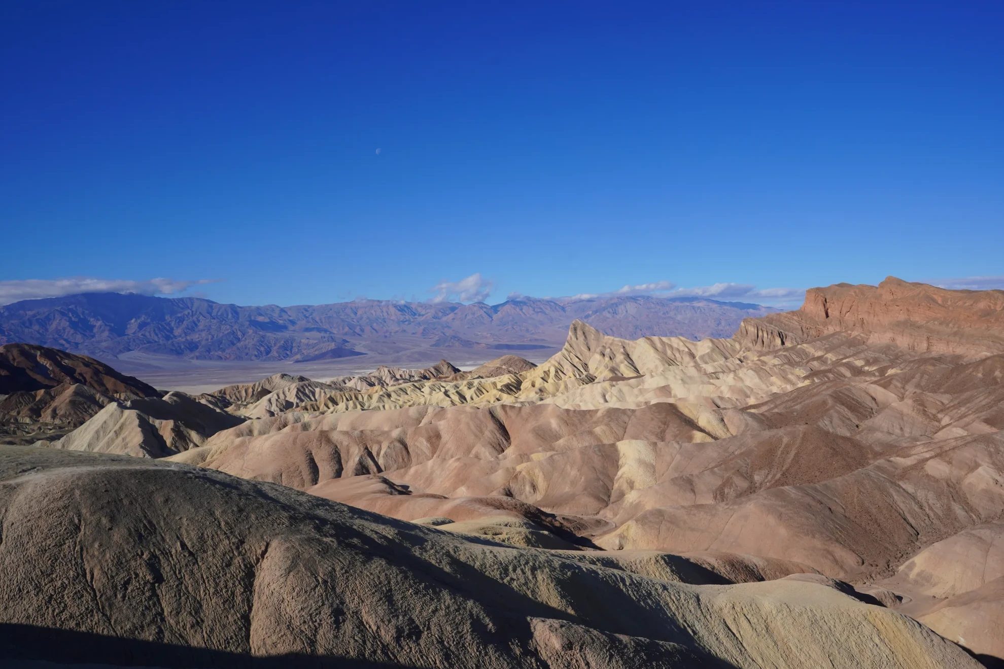
These hills are sediment that settled on the bottom of a lake here millions of years ago and hardened. After the land was pushed up, the rare rains carved away the soft earth, leaving the deeply gullied badlands you see now. When it does rain, the soil washes off easily, so hardly a blade of grass can take hold. The ground stays bare, and on the day we went there wasn’t a trace of snow on it.
The name comes from Christian Brevoort Zabriskie, vice president and general manager of the Pacific Coast Borax Company, which mined borax in Death Valley. The spot was also the setting for the 1970 film of the same name, Zabriskie Point. The landscape is strange enough that this area has stood in for alien planets in several movies, Star Wars among them.
At sunrise the shadows of the hills stretch long and the ridges look more three-dimensional, so photographers tend to time their visit for dawn. Many tours from Las Vegas stop here too. One Death Valley day tour ends its day at Zabriskie Point, and the small-group day tour covers the dunes and Artist’s Palette.
Day tour
Death Valley tours from Las Vegas
Furnace Creek Visitor Center and the Junior Ranger program
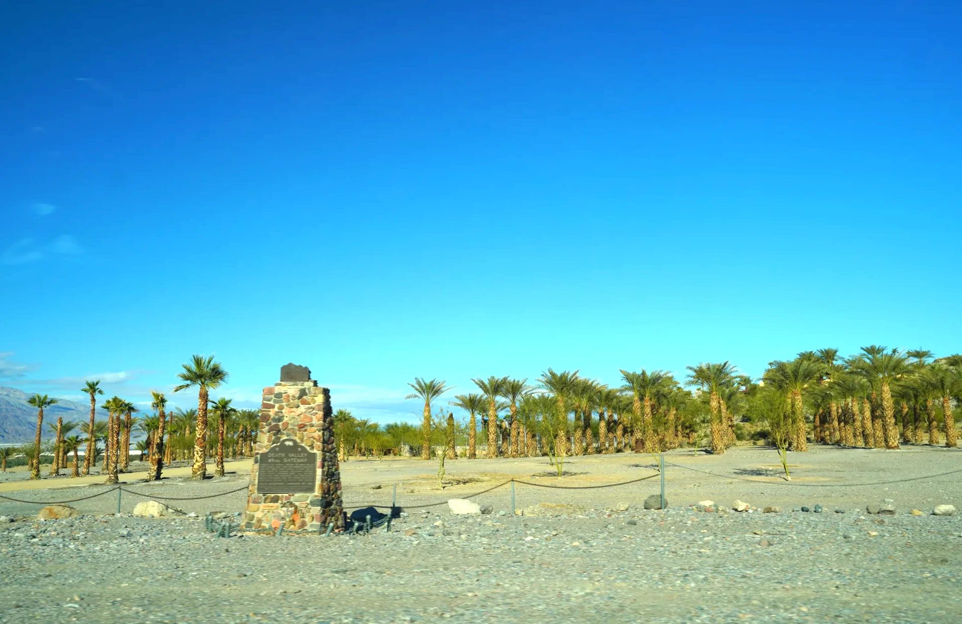
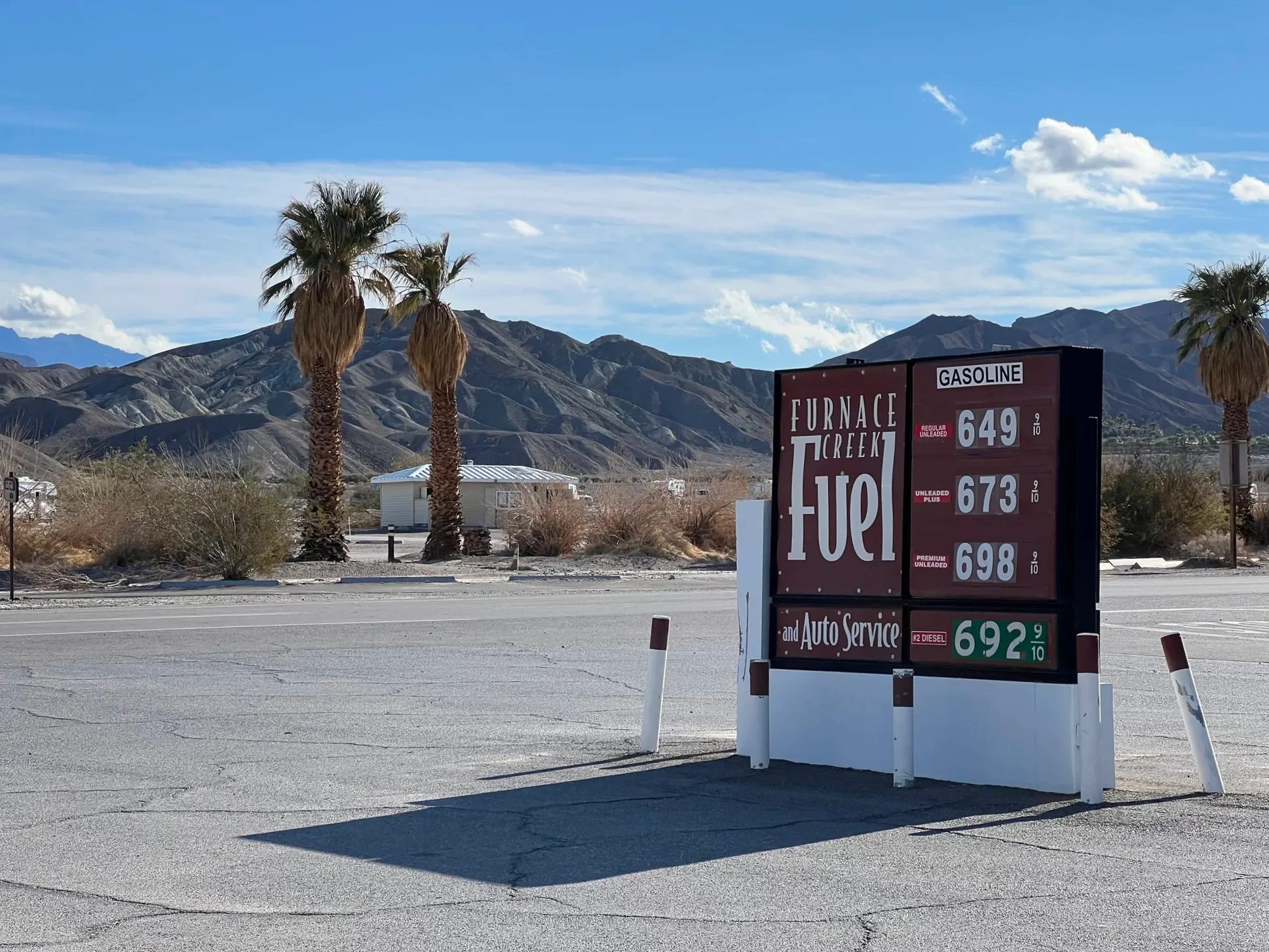
About 10 minutes down the road from Zabriskie Point is Furnace Creek, lined with palm trees. It’s an oasis fed by springs in the middle of the desert, and the hub of the park, with the visitor center, lodging, restaurants and a gas station all in one place. One look at the price board at the gas station confirmed what we’d heard: gas cost a lot more than in Las Vegas.
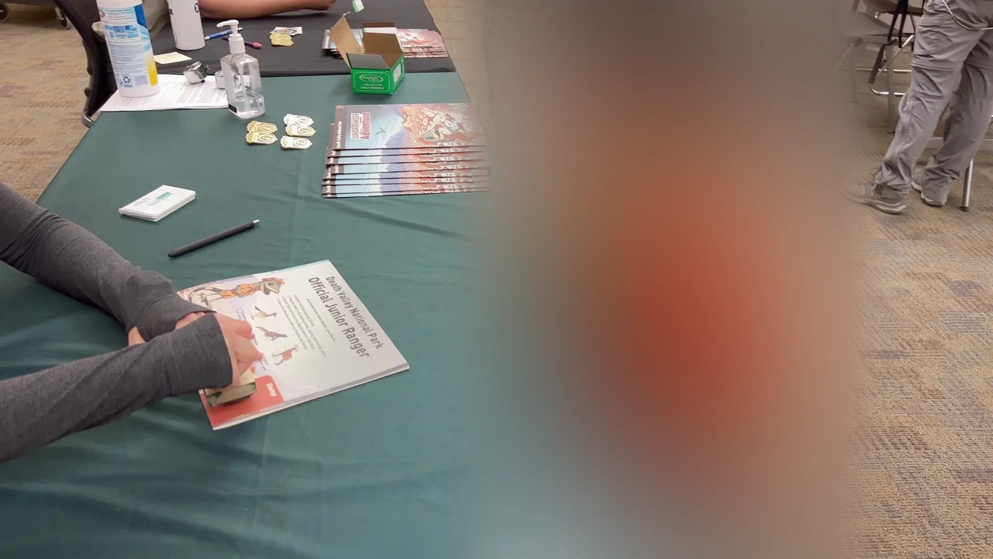
Around 10:20 a.m. we walked into the Furnace Creek Visitor Center. Our kid does the Junior Ranger program, a free activity for children run by the park service, at every national park we visit. Death Valley runs it especially well: there’s a dedicated area in the visitor center, and several rangers were there to welcome the kids.
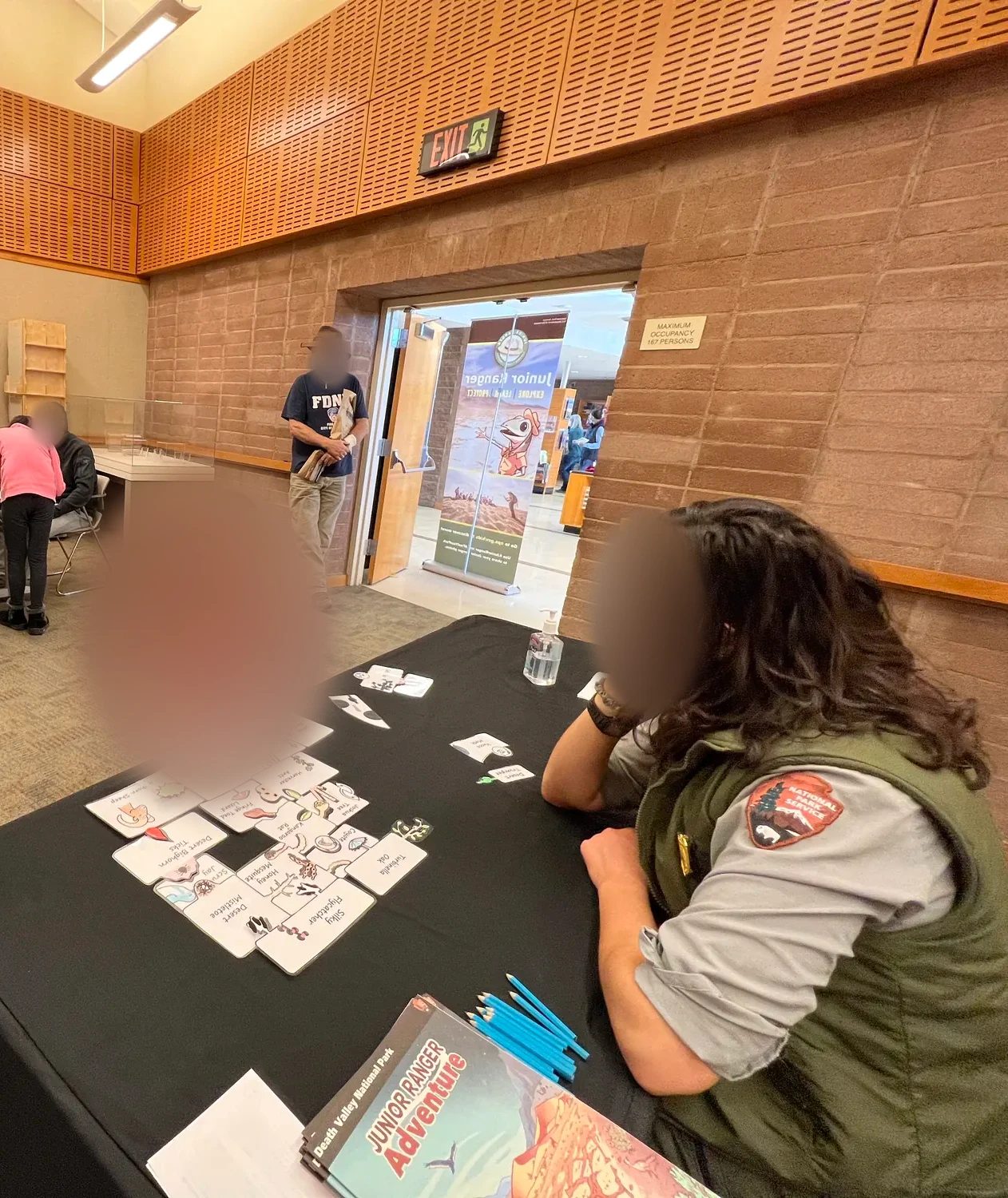
Here’s how it works. Kids pick up a free activity booklet for their age at the visitor center and complete the tasks as they go around the park: learning about the landscape, finding and understanding animals and plants, picking up trash. When they’re done, they explain to a ranger what they did, and the ranger gives them an official stamp and a badge. Our kid took the booklet and spent the whole day checking on the tasks.
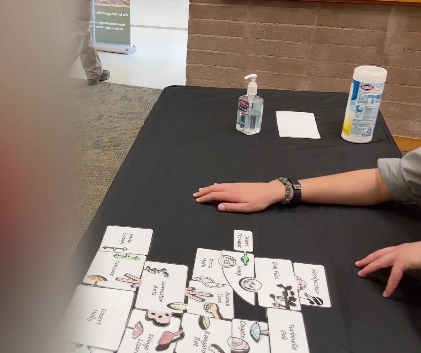
The visitor center also sells entrance passes and annual passes. Death Valley doesn’t have a booth at each entrance; you drive in and buy your pass at the visitor center or a self-service kiosk. Our windshield already had the national parks annual pass we’d been using all around the Grand Circle.
Death Valley entrance fees and annual passes (as of October 2026)
- Private vehicle$30, valid for seven days.
- Motorcycle$25, seven days
- On foot or by bike$15 per person. Under 16 free.
- Death Valley annual pass$55, for US citizens and residents.
- America the Beautiful annual passFrom 2026, $80 for US residents and $250 for nonresidents. Death Valley is not one of the 11 parks that charge nonresidents an extra $100.
- Where to buyRecreation.gov, or self-service kiosks at the Furnace Creek Visitor Center, the Stovepipe Wells Ranger Station, Zabriskie Point and elsewhere. Annual passes are sold at the Furnace Creek Visitor Center, Stovepipe Wells and the Furnace Creek Campground.
- PaymentCards and electronic payment only. No cash.
If you’re visiting several national parks, as on a Grand Circle trip, one annual pass covers them all. If you’re going on a tour instead of driving, each tour handles the entrance fee differently; some include it and some don’t. Before you book a day tour, check what’s included.
Mesquite Flat Sand Dunes in a Santa hat
From the visitor center we drove about 40 minutes northwest on CA-190. Long white clouds hung over the mountains on this stretch too.
We reached the Mesquite Flat Sand Dunes a little before noon. Our kid had been counting down to this place the whole trip. Driving the Grand Circle, we had seen plenty of desert where little grows, but this was our first real sand desert, the movie kind, with fine sand in waves. The moment we got out of the car, our kid ran for the dunes.
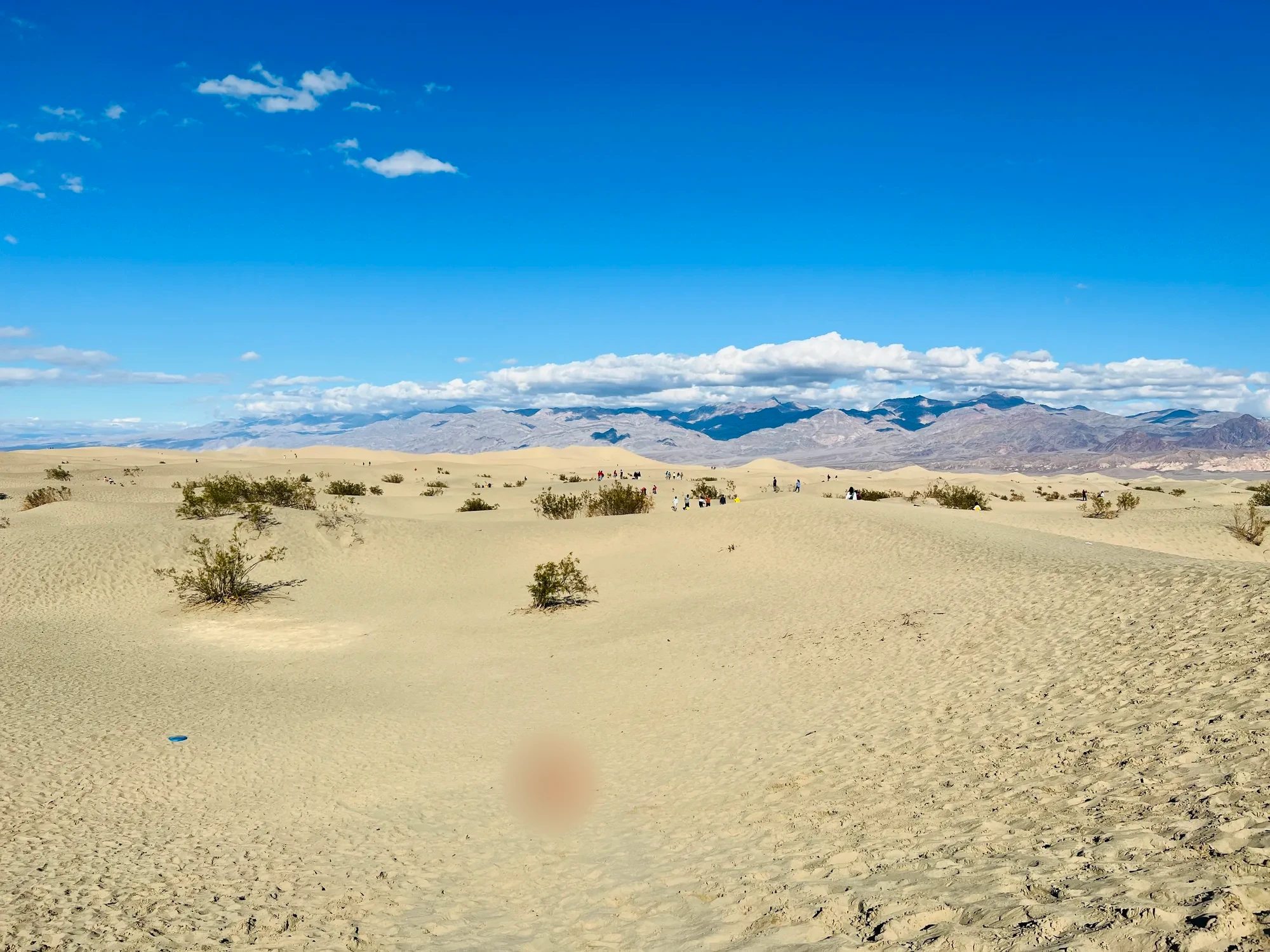
It was Christmas, so our kid was wearing a sparkly Santa hat. It was warm enough for just a thin long-sleeved shirt, and our kid played for a long time: rolling down the sand, running, throwing sand, burying and getting buried. A blue plate we’d brought along became a sand scoop.
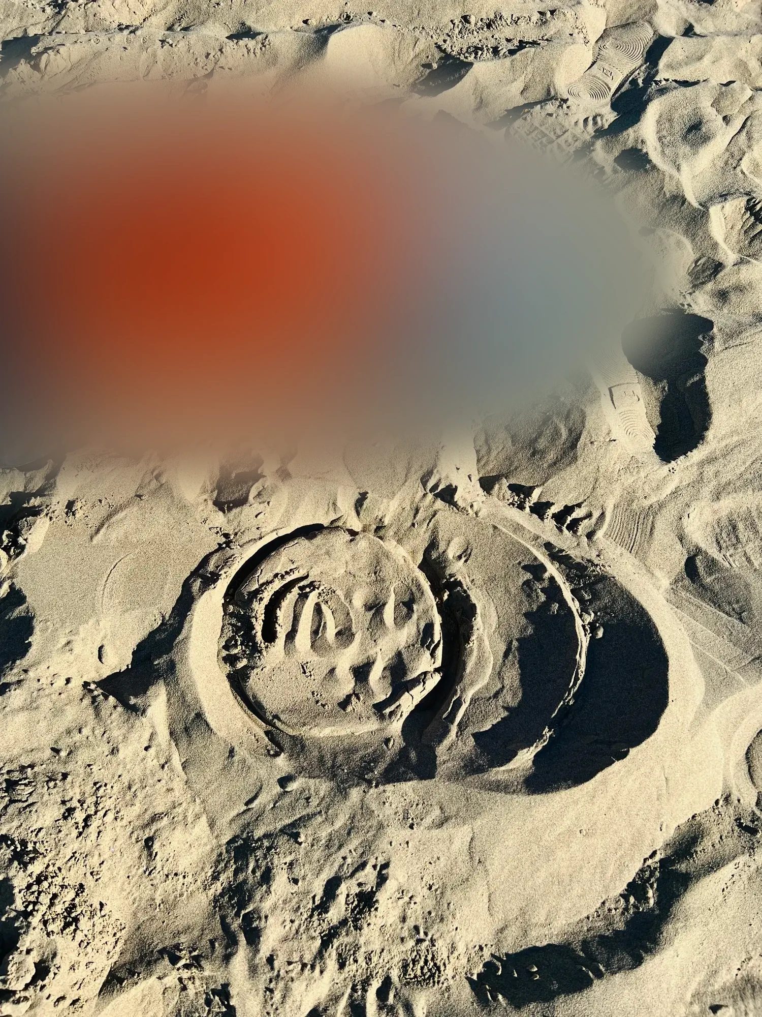
The dunes sit right beside CA-190, east of the village of Stovepipe Wells. There’s a paved parking lot and restrooms. There’s no set trail, so you walk in as far as you like. The tallest dune is a 3.2 km (2 mi) round trip, takes about an hour and a half, and has about 56 m (185 ft) of elevation gain. We spent about an hour with our kid on a few of the nearer dunes.
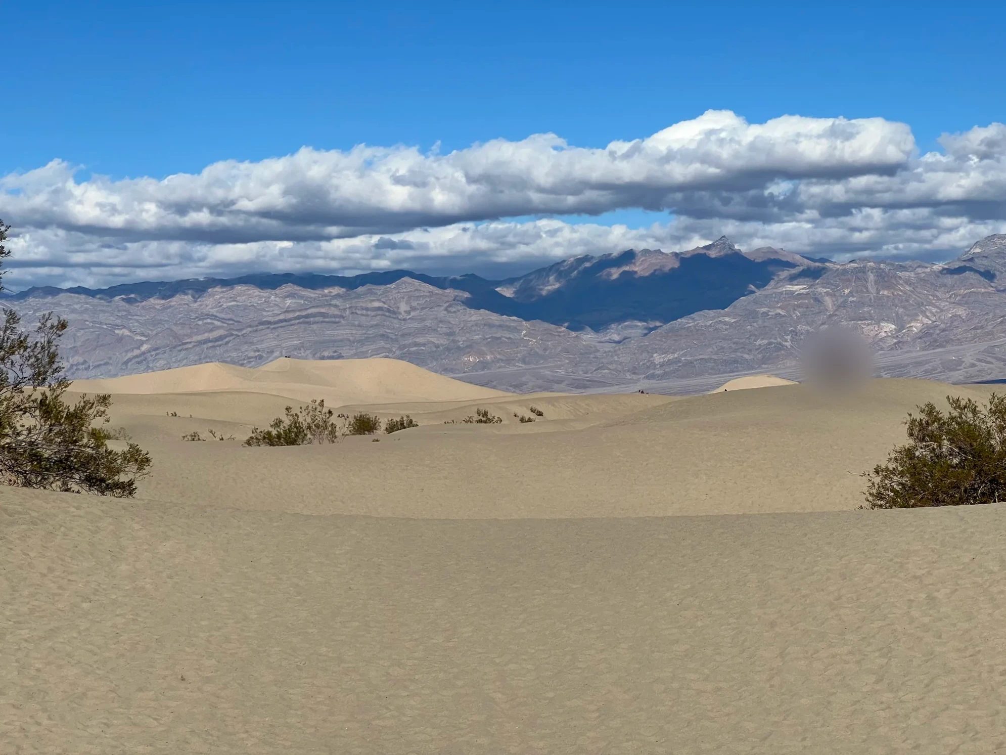
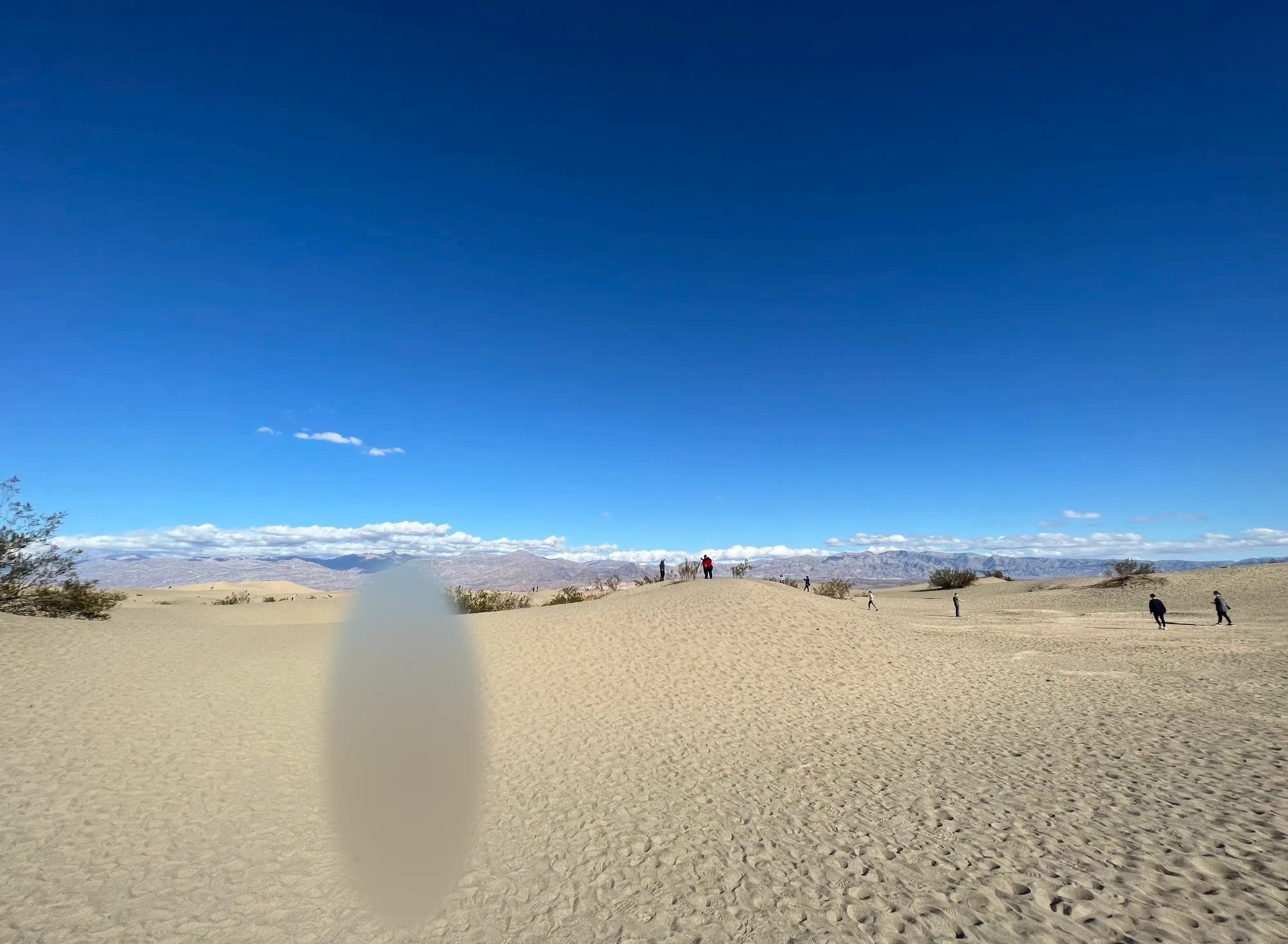
At sunrise and sunset each dune casts a shadow and the ripples stand out. In summer it gets hot enough that the National Park Service advises against walking on the dunes after 10 a.m. Pets are not allowed. Sand gets into shoes, so if you’re going with a kid, spare socks or sandals are handy.
The salt flat and Harmony Borax Works
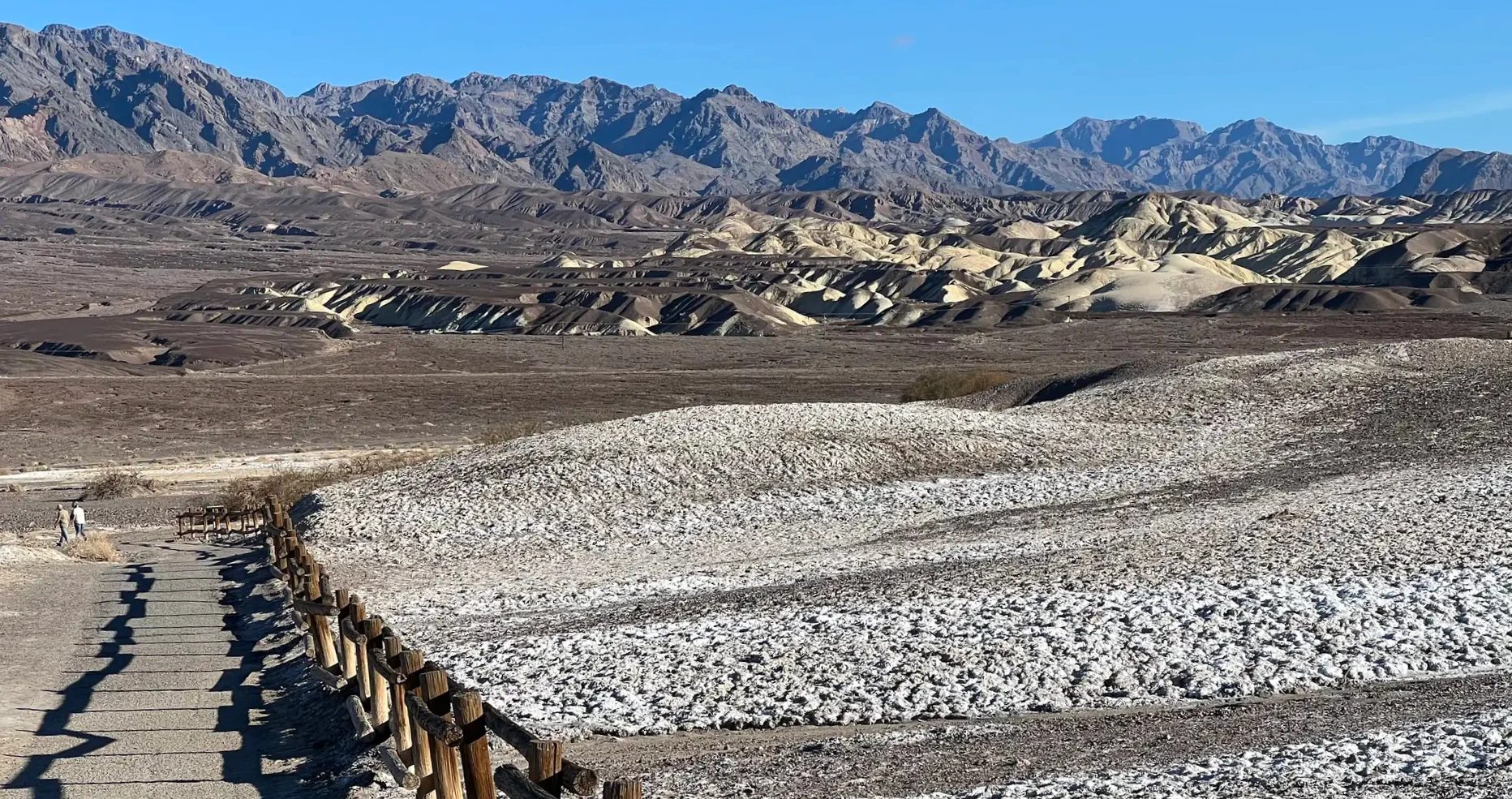
Heading back from the dunes toward Furnace Creek, we pulled over beside CA-190 around 1:50 p.m. A flat crusted with white salt ran off into the distance beside the road. We walked for about 20 minutes along a dry wash, a channel that only carries water when it rains. The ground crunched underfoot with salt.
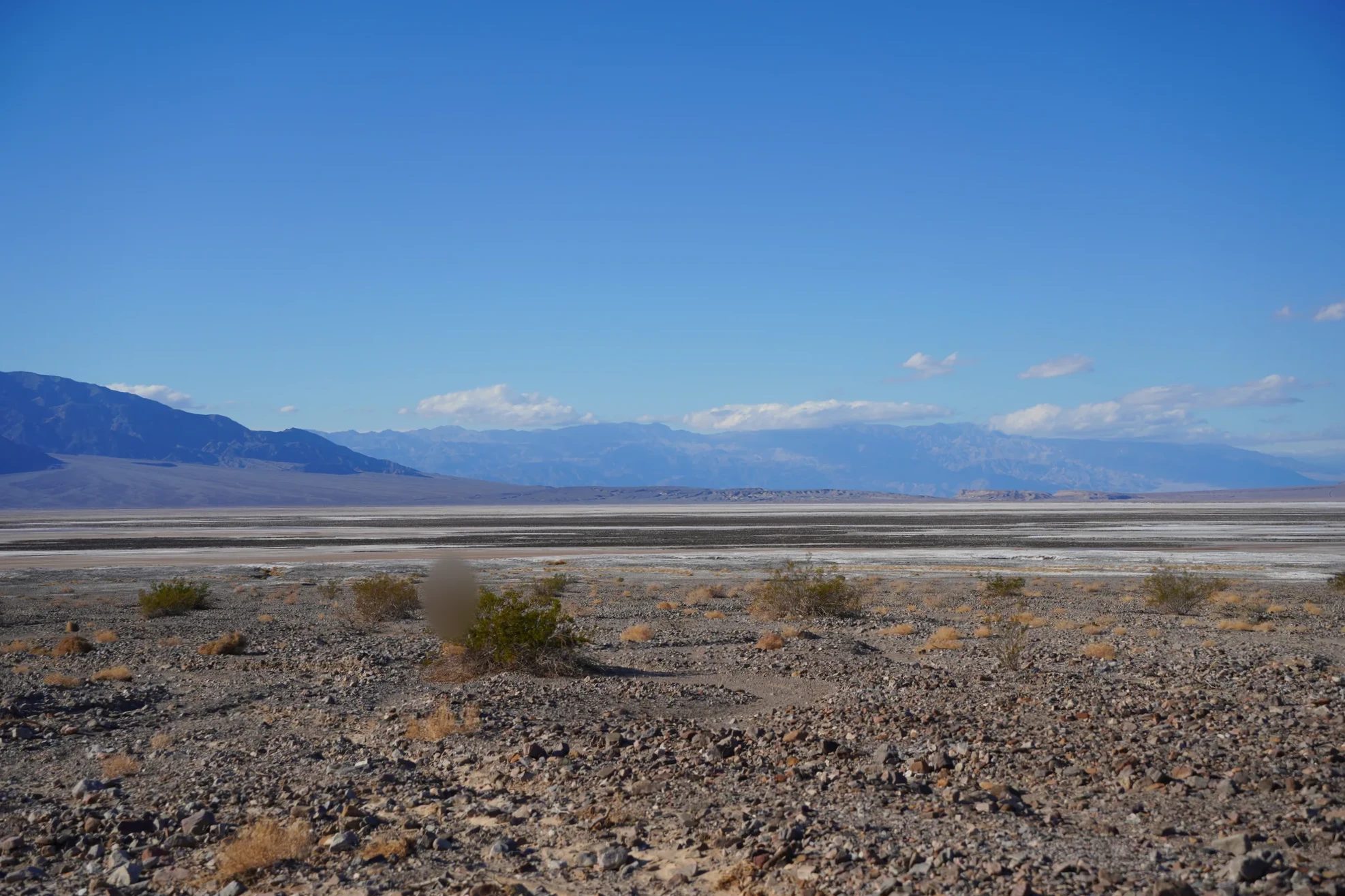
Around 2:10 p.m. we stopped at Harmony Borax Works, just north of Furnace Creek. It’s the site of a plant that once processed borax in Death Valley. From the parking lot, a short trail loops around the old works, where earthen walls and machinery still stand. The path climbs a little way up the slope, so you look down over the ruins and the salt flat.
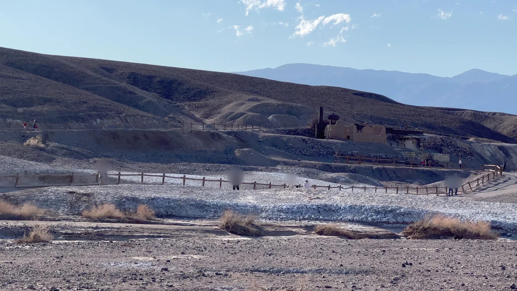
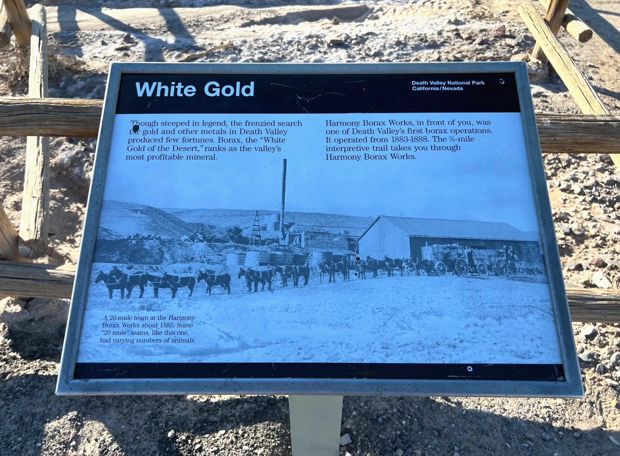
Borax is a mineral used to make soap, detergent and glass, and, as the sign says, it was called “white gold.” The plant ran from late 1883 or early 1884 until 1888. About 40 workers produced 3 tons of borax a day. In summer the water got too hot for borax crystals to form, so during the hot months the work moved to a plant over in the Amargosa area.
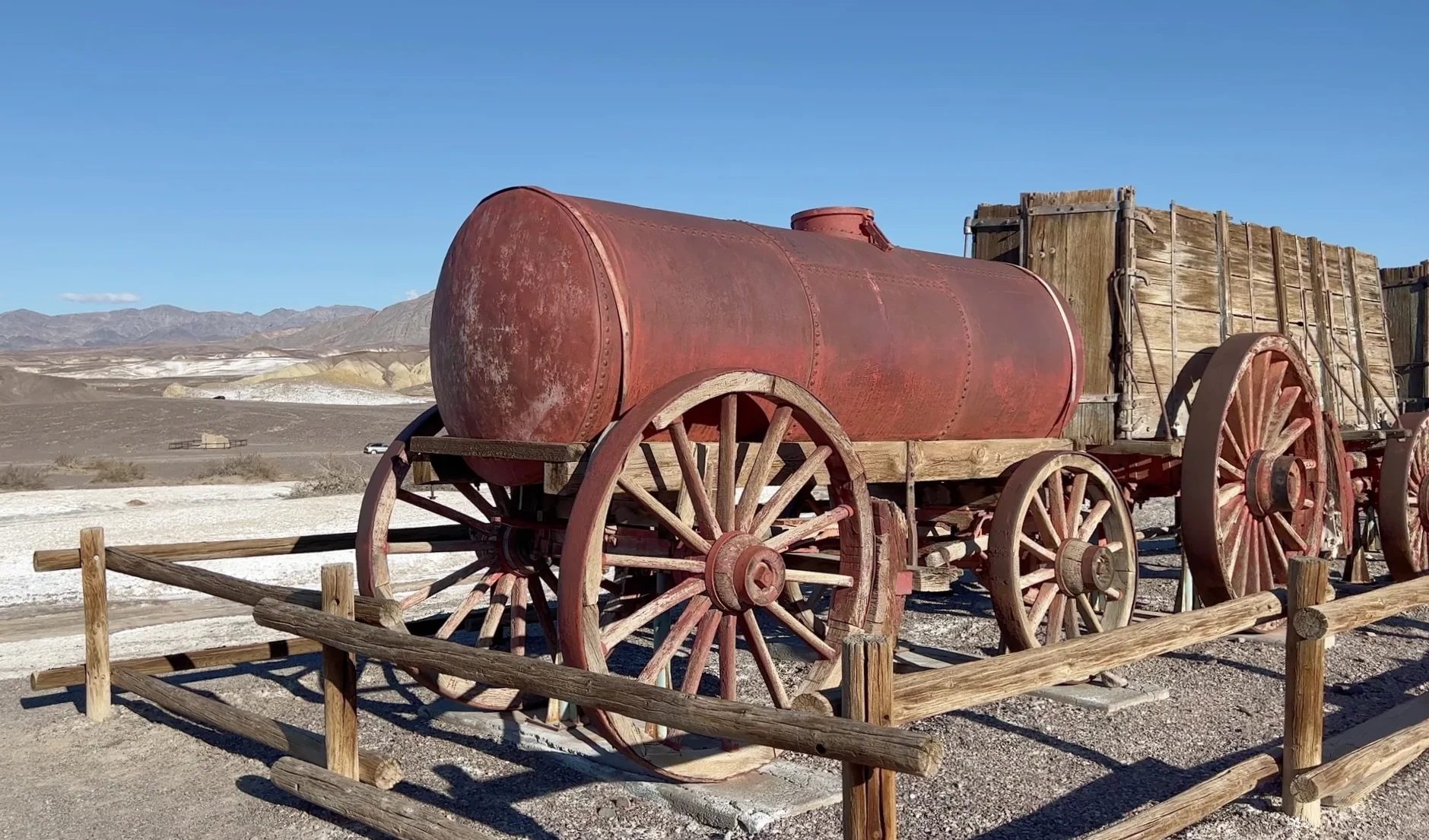
The finished borax was loaded onto big wagons pulled by teams of 20 mules and hauled across the desert to the railroad at Mojave. The “20 Mule Team” became famous enough to end up as the borax company’s trademark. One of those wagons still stands next to the ruins.
Back to the visitor center for the badge
A little before 3 p.m., with the activities finished, we went back to the visitor center. The ranger turned the booklet page by page and asked careful questions about each one, and our kid explained, one by one, the landforms and animals we’d seen that day. Along with the official stamp came a badge and a paper ranger hat. Our kid looked pretty proud.
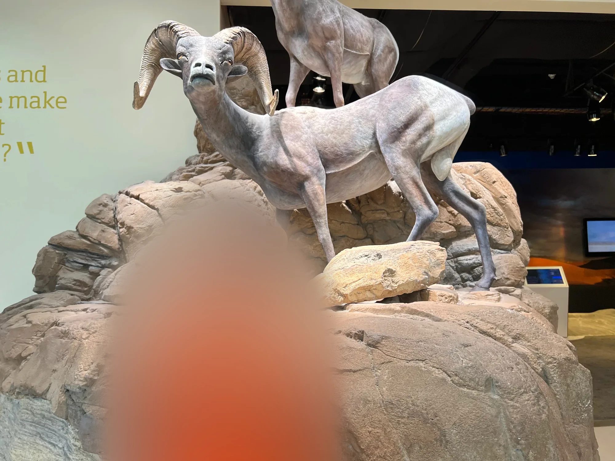
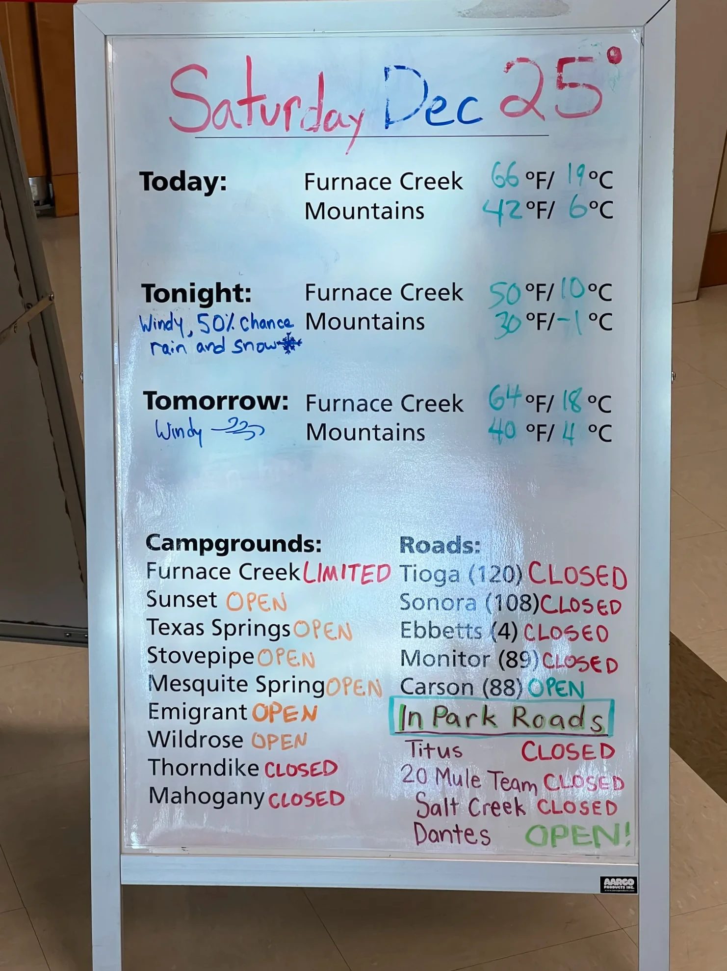
Inside the visitor center, a board listed the day’s weather, campground status and road conditions. Check it before you settle on a plan and you’ll know which roads are closed.
Artists Drive and Artist’s Palette at sunset
Around 3:30 p.m. we drove south from Furnace Creek on Badwater Road and turned onto Artists Drive. It’s a one-way road that rises and dips along the foot of the mountains, about 14.5 km (9 mi) long, and takes 25 to 45 minutes. The curves and grades are steep enough that vehicles longer than 8 m (25 ft) aren’t allowed.
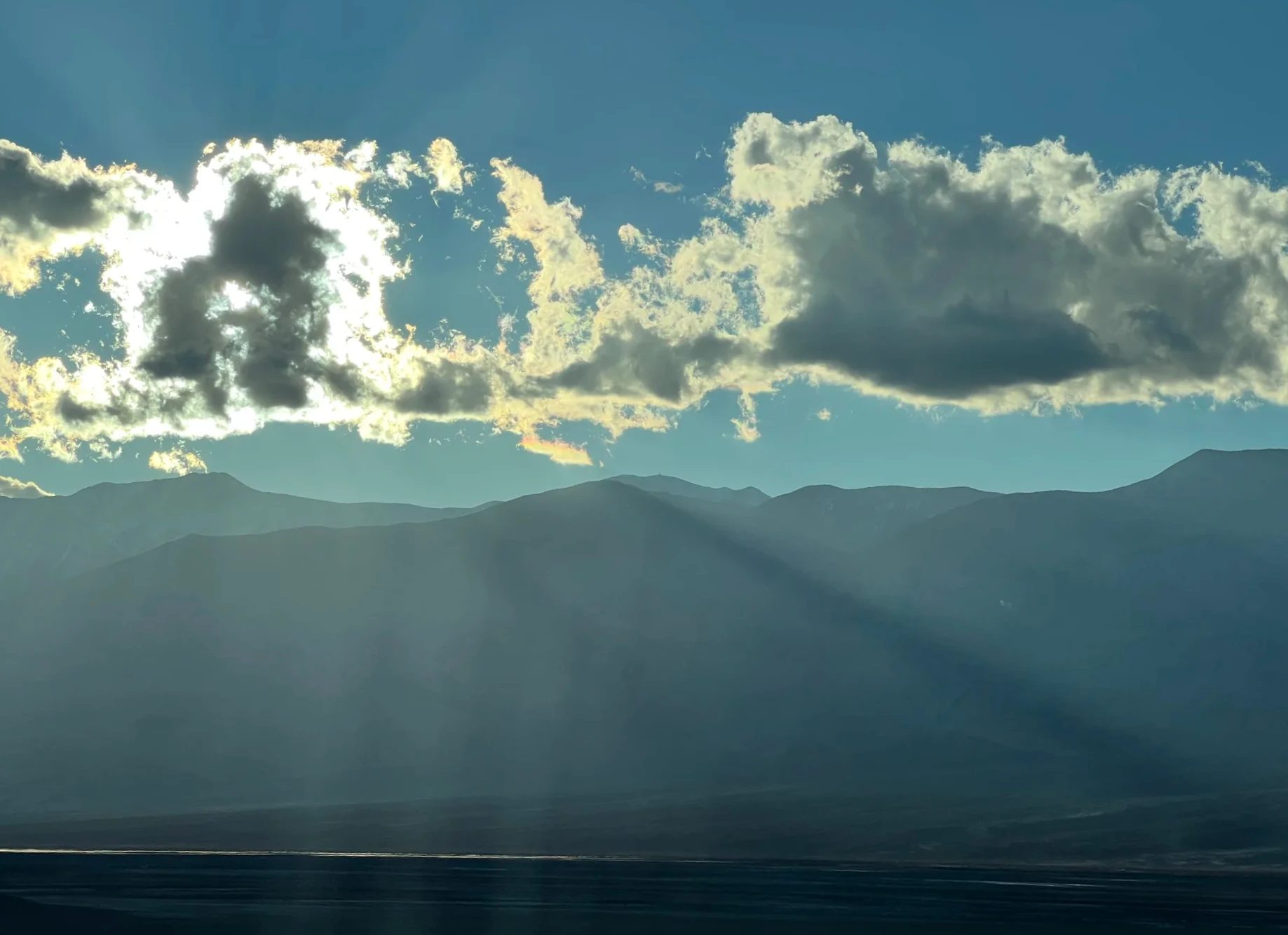
Partway along, we parked and walked for a bit. As the sun dropped, the mountains started turning orange. The wind was blowing hard, but it wasn’t cold.
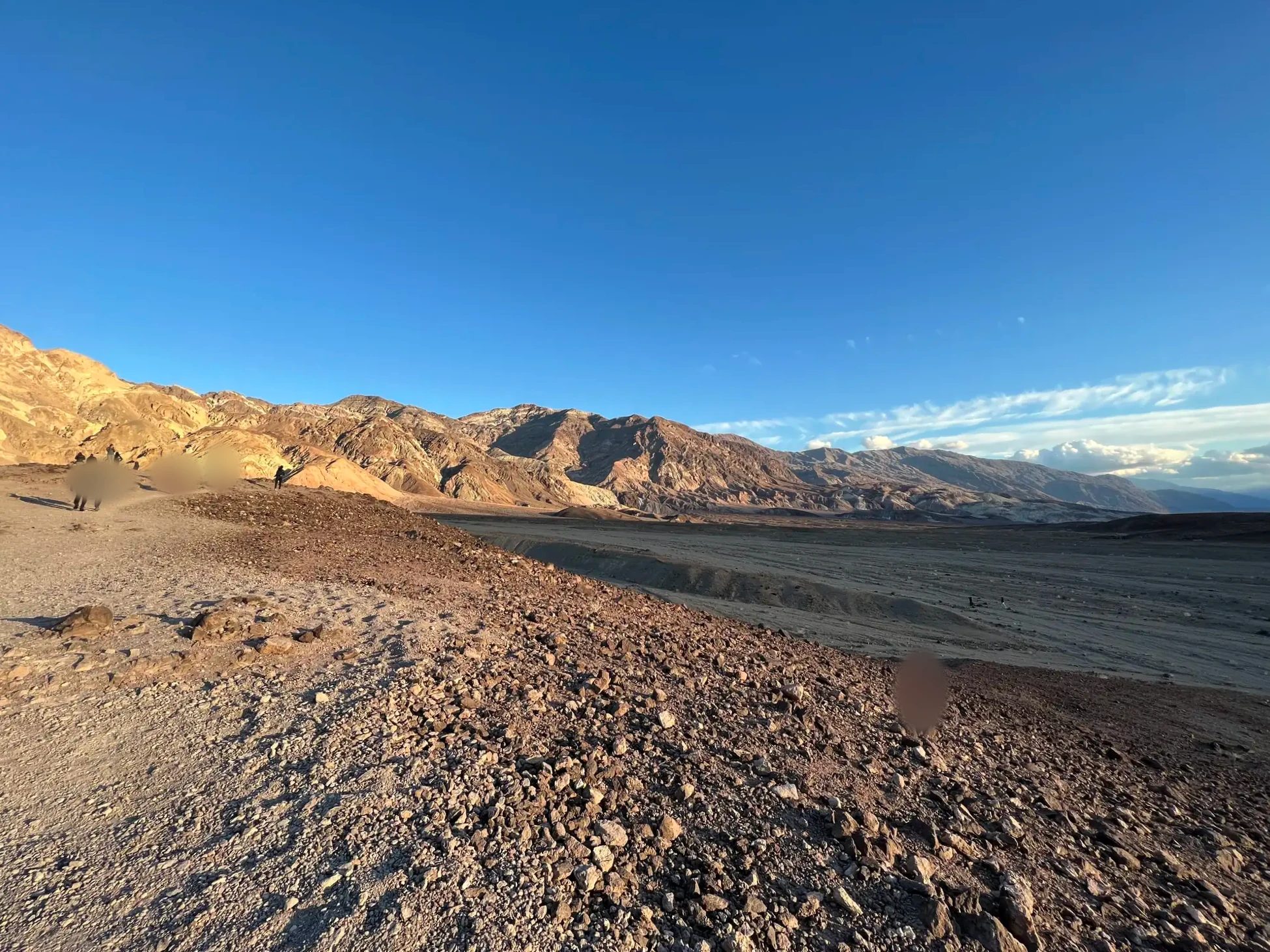
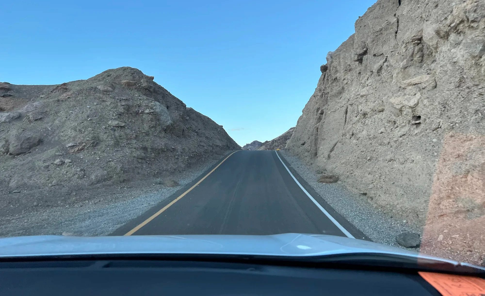
We reached Artist’s Palette around 4:20 p.m. On a hillside of hardened volcanic deposits, pink, green, purple and yellow run together like paint squeezed onto a palette. Oxidized iron in the soil gives the reds and yellows, and volcanic ash mixed with other minerals gives the greens. It looks exactly like its name. The planet Tatooine scenes in Star Wars: Episode IV were also filmed around Artists Drive.
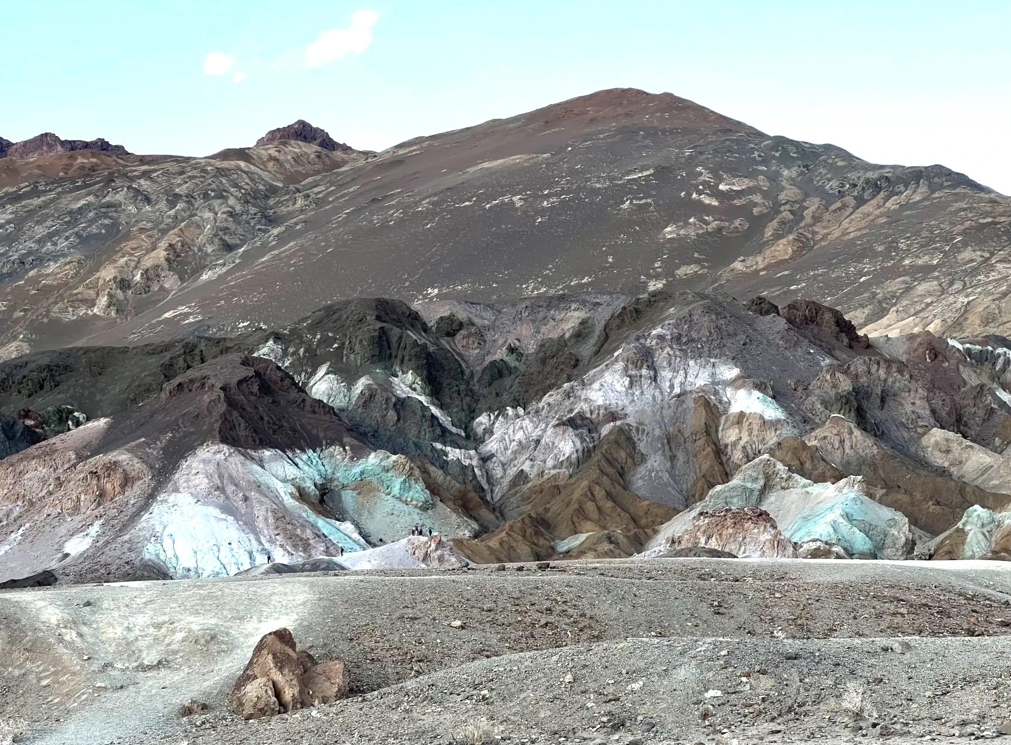
We took photos from in front of the parking lot, and some people walked down into the gully below for a closer look. The National Park Service says Artists Drive is best in afternoon light, and that matched what we saw. When the sun slipped behind the mountains with the clouds, the colors softened.
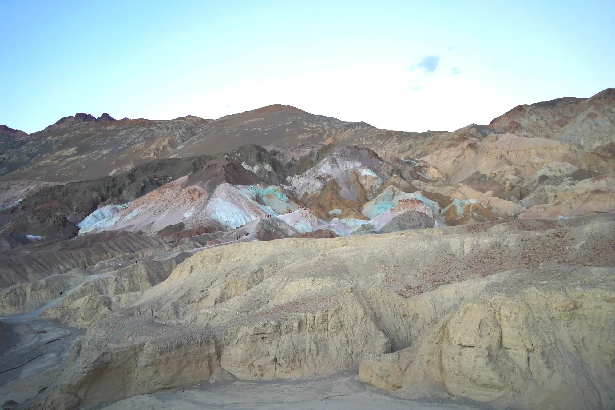
Around 4:50 p.m. we left Artist’s Palette in the dusk and headed for Las Vegas. Going east out of Furnace Creek on CA-190 and through Pahrump, it takes about 2 hours 25 minutes. That night we dropped our bags at the hotel and rushed off to see Cirque du Soleil’s KÀ.
Gear
For a windy Death Valley afternoon
Next time: Badwater Basin and Dante’s View
Even going in early and leaving at dusk, we couldn’t see all of Death Valley in a day. The park is just too big. The salt flats of Badwater Basin, the lowest point in North America, and Dante’s View, which looks down on the basin from 1,669 m (5,476 ft), will have to wait for another trip. Badwater is a little farther south past the Artists Drive entrance, and Dante’s View sits at the end of a road that branches off CA-190 past Zabriskie Point. To fit both into one day, go in early and start with the south end.
Not every tour goes to Badwater, so check the itinerary before you book. This full-day Death Valley tour stops at Badwater Basin, Harmony Borax Works and Zabriskie Point.
Tours
Death Valley day tours from Las Vegas
Death Valley day trip from Las Vegas: rental car or tour
There are two ways to do a Death Valley day trip from Las Vegas: drive yourself in a rental car or join a tour. We used the rental car we’d driven around the Grand Circle. The loop from Las Vegas through Pahrump and back came to about 490 km (305 mi), with close to six hours spent in the car.
- By rental carYou stop where you want, for as long as you want. Our kid got to play on the dunes as long as they liked. Gas inside the park is expensive, so fill up in Las Vegas or Pahrump.
- By tourPickup and drop-off at Strip hotels, no driving to worry about. Most leave between 6 and 9 a.m. and get back at night, and some include sunset and stargazing.
- RouteFrom Las Vegas, take NV-160 through Pahrump and Death Valley Junction, then CA-190 into the park. About 2 hours to Furnace Creek.
- DaylightIn December the sun sets around 4:30 p.m. Even leaving at 7:30 a.m., our day was tight.
Getting there
Rental cars at Las Vegas airport
Where to stay: inside and outside the park
We stayed in Las Vegas and did Death Valley as a day trip. If you want Zabriskie Point at sunrise or a night of stars, sleep inside the park or in a nearby town. At Furnace Creek, two hotels make up the oasis: The Inn at Death Valley and The Ranch at Death Valley. Near the dunes is the Stovepipe Wells Village Hotel. Outside the park, Beatty and Pahrump, both on the Nevada side, have plenty of places to stay.
Where to stay
Where we stayed, and hotels near the park
FAQ
Can you buy an annual pass at Death Valley?
Yes. The America the Beautiful pass, the annual pass for US national parks, is sold at the Furnace Creek Visitor Center, Stovepipe Wells and the Furnace Creek Campground. Starting in 2026 it costs $80 for US residents and $250 for nonresidents (as of October 2026). Only cards and electronic payments are accepted, and you can also buy it ahead of time on recreation.gov.
Are there places to stay near Death Valley?
Inside the park, Furnace Creek has The Inn at Death Valley and The Ranch at Death Valley, and there’s lodging near the dunes in Stovepipe Wells. Outside the park, Beatty and Pahrump are the closest towns. Or do what we did: stay in Las Vegas and go for the day.
Can you do Death Valley as a day trip from Las Vegas?
Yes. Furnace Creek is about 2 hours away by car, so if you leave early you can see Zabriskie Point, the dunes and Artist’s Palette in one day. We did it on day nine of our winter Grand Circle road trip. In winter the days are short, and adding Badwater and Dante’s View makes it tight. If you’d rather not drive, take a day tour with hotel pickup.
What’s the weather like in Death Valley in December?
The average December high is 18°C (64°F) and the low is about 3°C (37°F). On Christmas Day, when we went, it was around 19°C (66°F) during the day, and a thin long-sleeved top was enough. Mornings and evenings after sunset are chilly, though, and some spots like Artists Drive get strong wind, so bring a layer.
Can you drive from Death Valley to Yosemite?
From late spring through fall, while Tioga Pass (CA-120) is open, you head northwest from Death Valley, pick up US-395 through Lee Vining and cross Tioga Pass. Furnace Creek to Yosemite Valley is about 490 km (305 mi), roughly 6 hours by car. Snow usually closes Tioga Pass from around November until late spring. Then you have to swing far south through Bakersfield and Fresno to the west entrance: about 710 km (440 mi) and more than 8 hours. Opening and closing dates change every year, so check Yosemite’s official road conditions first.
Is Death Valley good with kids?
In winter, yes. The dunes were the place our kid had been waiting for all trip, and the Junior Ranger program at the visitor center had them keeping track of the day’s route themselves. Spring (March to April) and late fall (late October to November) are also fine for daytime outings. In summer (June to September), midday temperatures top 45°C (113°F), and it’s hard to stay outside the car for long with a kid. If you go in summer, see the dunes and viewpoints briefly around sunrise and stick to the car and indoor stops at midday. In any season there are few places to eat in the park, so bring plenty of water and snacks.
Wrap-up
- Time on the roadLeft Las Vegas at 7:30 a.m. and left the park at 4:50 p.m.
- HighlightsEvery stop was different. The wrinkled hills at Zabriskie Point, the dunes our kid rolled down to their heart’s content, Artist’s Palette at sunset: it was hard to pick one.
- Next timeSpend a night inside the park and add Badwater and Dante’s View.
Death Valley differed from the Grand Circle canyons in the color of the ground, the scenery and the weather. Spending one day there after looping back to Las Vegas made the whole trip far more varied. If you’re planning a Grand Circle itinerary, I’d say make room for a day in Death Valley.
A day that started with a Santa present on Christmas morning went on to a Santa hat rolling down the dunes and colored hills at sunset. Our kid came away with a coyote and a Junior Ranger badge.
Related posts
| Series | Post |
|---|---|
| Full itinerary | Winter Grand Circle: a 10-day road trip by rental car Route, hotels and bookings for all 15 stops |
| Previous | Zion National Park in December A rainy night at Zion Lodge, the Emerald Pools Trail and the Riverside Walk |
| Next | Las Vegas at Christmas Two nights on the Strip, KÀ and the STRAT |
Map and directions
From Las Vegas, take NV-160 west over the mountains to Pahrump, then continue through Death Valley Junction and into the park on CA-190. Follow CA-190 down past Zabriskie Point to Furnace Creek. The dunes are northwest of Furnace Creek on CA-190, and Harmony Borax Works is just north of Furnace Creek. Artists Drive is a one-way road whose entrance is south of Furnace Creek on Badwater Road.
What we needed
Bookings
- Rental carWe picked it up at the Las Vegas airport, drove it around the Grand Circle and took the same car to Death Valley.See rental cars at the Las Vegas airport
- Las Vegas hotelTwo nights, with one of the days spent in Death Valley.See Horseshoe Las Vegas
What to bring
- National parks annual passIt covered the Grand Circle parks and Death Valley.
- A full tankGas inside the park is expensive, so we filled up before driving in.
- A light long-sleeve top and a windbreakerMidday, one long-sleeve layer was enough. On Artists Drive the wind was strong.See windbreakers
- Breakfast and snacksThere are few places to eat in the park, so we bought ours in Las Vegas and brought them along.
Getting there
Flights to Las Vegas
Sources
- NPS: Death Valley fees and passes (checked October 24, 2026)
- NPS: 2026 nonresident fees (checked October 24, 2026)
- NPS: Death Valley weather and climate
- NPS: Christian Brevoort Zabriskie
- NPS: Mesquite Flat Sand Dunes
- NPS: Harmony Borax Works
- NPS: Artists Drive
- NPS: Death Valley Junior Ranger
- NPS: Yosemite road conditions
- Bally’s Las Vegas renamed Horseshoe Las Vegas (December 2022)
- Distance and drive time from Furnace Creek to Yosemite Valley: Google Maps route (checked October 25, 2026)
Not in the list? Search it yourself
Places to stay nearby, on a map
Affiliate link: if you book through this search, the blog earns a commission at no extra cost to you. Results open in a new tab. About affiliate links
Discover more from Elsewhere, Mostly
Subscribe and get new posts sent straight to your inbox.