This post covers day two of a four-day, three-night road trip around the Gaspé Peninsula (Gaspésie). In the morning we took a guided tour down to the fossil cliffs at Miguasha National Park (Parc national de Miguasha), a UNESCO World Heritage Site. In the afternoon we drove east along the south shore of Chaleur Bay (Baie des Chaleurs) and stopped at three beaches.
- Route
- 10 a.m.Miguasha National ParkGuided tour
- 12:15 p.m.Carleton-sur-MerSeafood poutine
- 1:45 p.m.MariaPlage des Goélands
- 3:55 p.m.Port-DanielSandbars
- 4:55 p.m.Plage des Beaux SablesSand beach
- CostMiguasha is run by SÉPAQ, the agency that manages Quebec’s national parks, so you need an entry ticket. Free for ages 17 and under; a SÉPAQ annual pass also gets you in.The three beaches are free
- LocationMiguasha National Park 231 route de Miguasha Ouest, NouvelleAbout 190 km (118 mi) along the coast road from Miguasha to Plage des Beaux Sables Map →
Contents
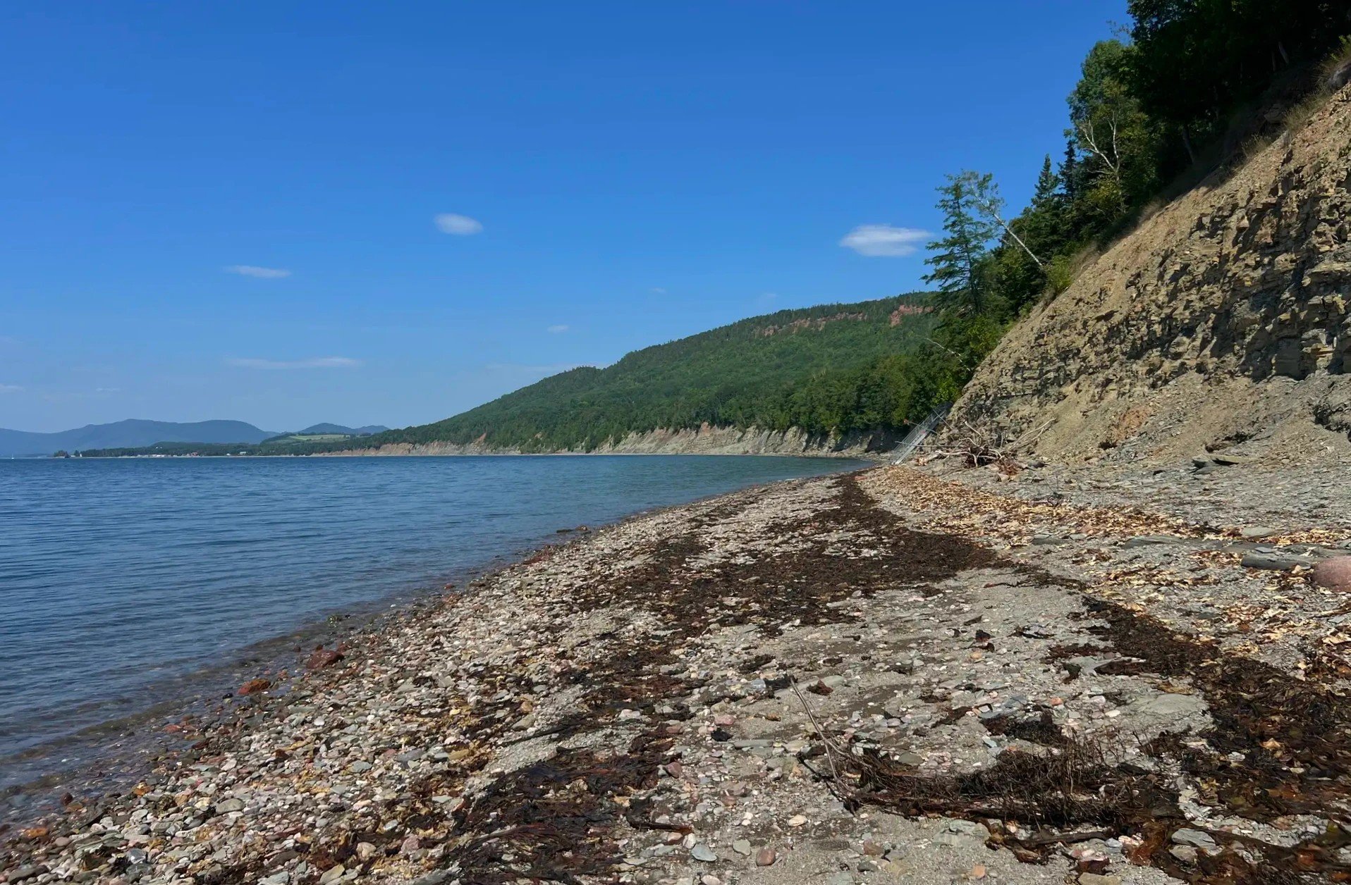
We woke up at Château Bahia and drove to Miguasha. In the morning we stopped at the fossil park, and in the afternoon at three beaches along the Chaleur Bay shore.
The castle-like place where we spent the first night is Auberge du Château Bahia (Trip.com).
Miguasha National Park: fossils from when fish moved onto land
There are spots near Montreal where fossils turn up, and that got me looking into fossil museums and national parks. That’s how I found Miguasha. It was a 15-minute drive from where we stayed. The cliffs at the mouth of the Restigouche River hold fish and plant fossils from the Devonian period, 380 million years ago, and the site was added to the UNESCO World Heritage List in 1999. So many of the fossils show fish making the move from water to land that the park is described as a showcase of the "Age of Fishes" (Tourisme Gaspésie). The fossils in the cliff first became known in 1842 (SÉPAQ, submission to UNESCO).
A guided tour down to the fossil cliffs
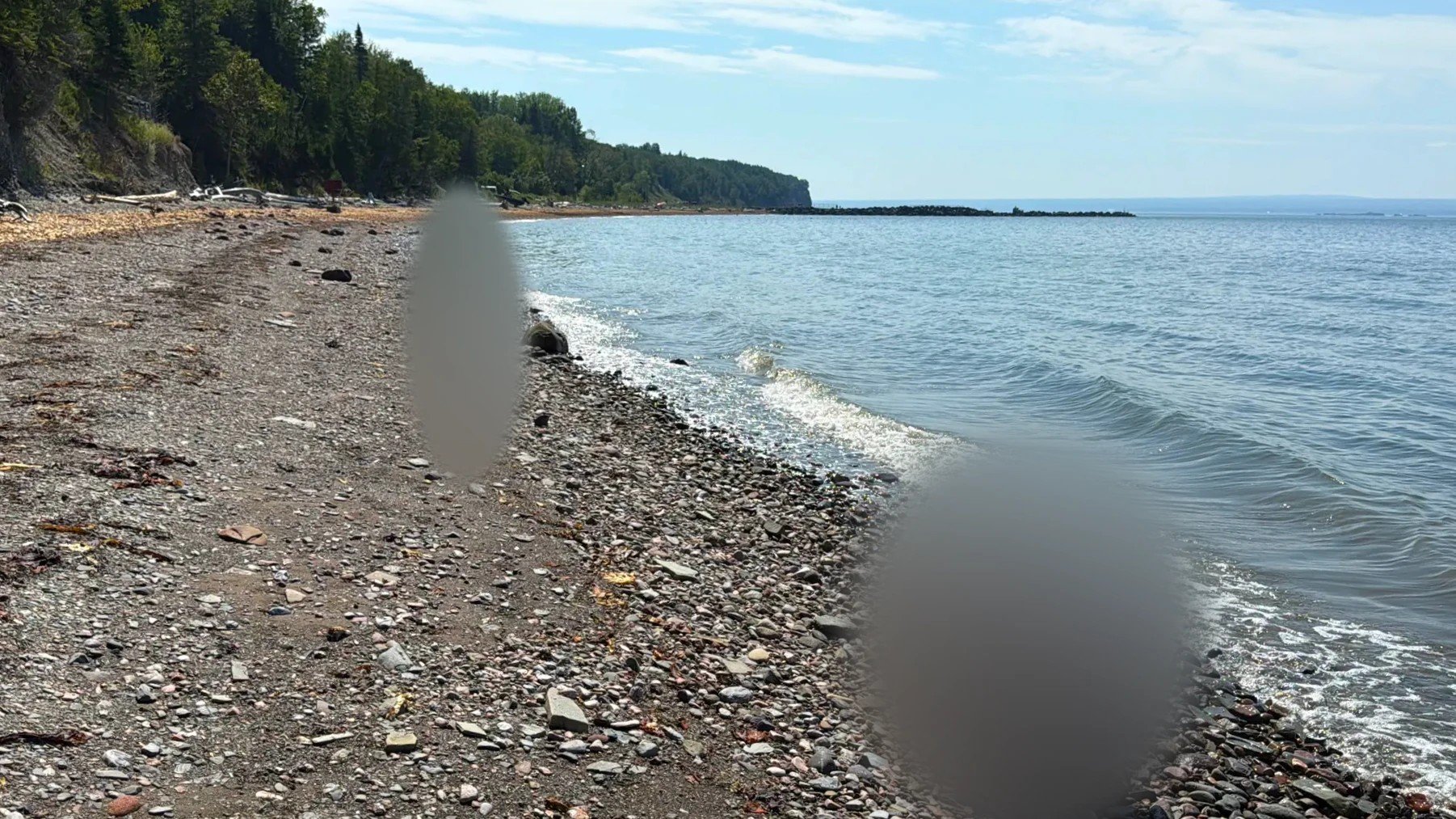
Around 10 a.m. we joined a guided tour at the visitor center, using our SÉPAQ annual pass to get in. The path went through the woods, then down a set of stairs to the shore, where a cliff of stacked gray rock layers ran along the water. The guide picked up stones from the foot of the cliff and explained how the fossils come out of them. Our kid was given a small fossil activity kit.
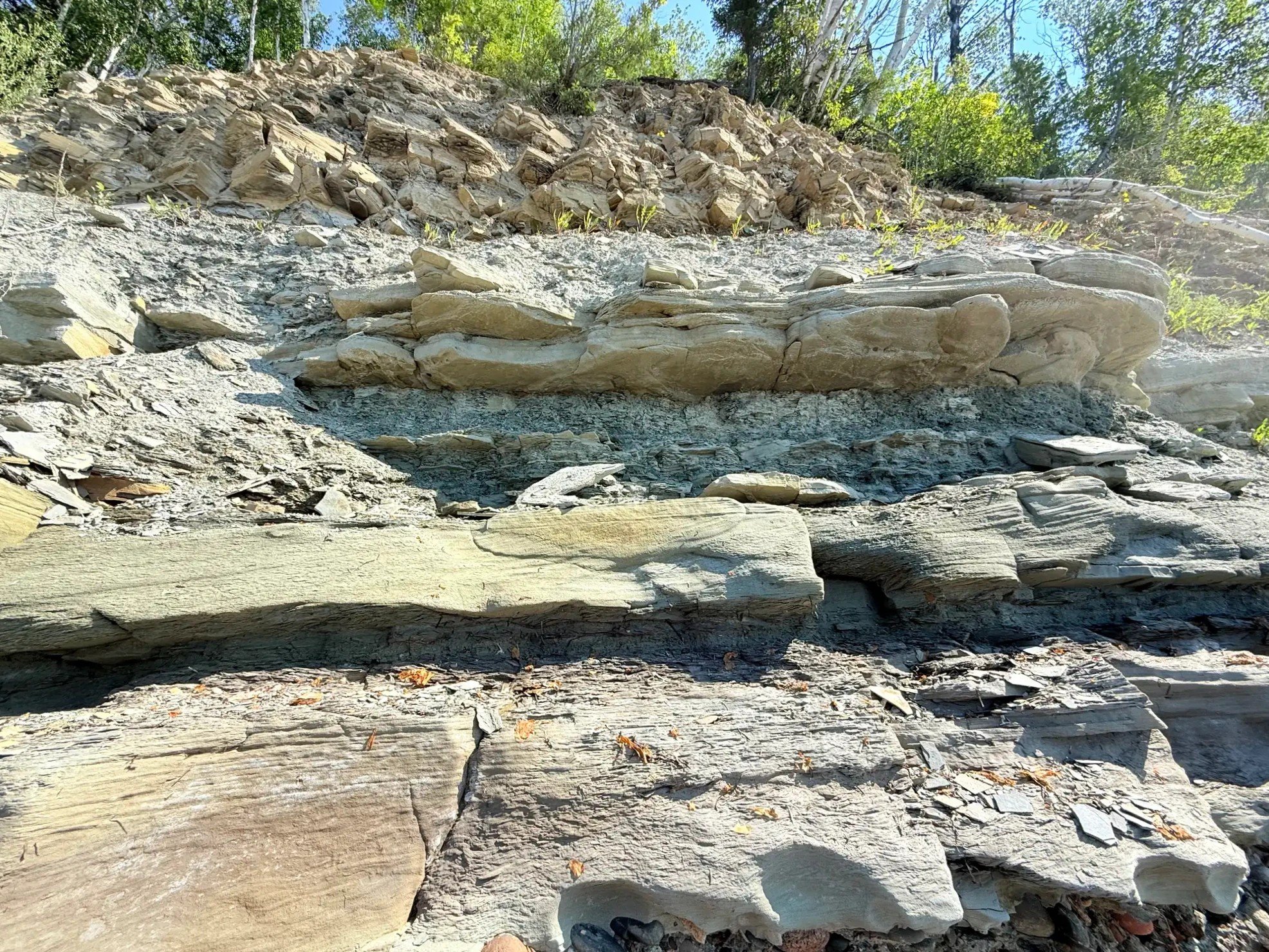
Leave fossils and rocks where they are Miguasha is both a SÉPAQ national park and a UNESCO World Heritage Site, so you can’t take fossils or even a single stone. If you find a fossil, leave it in place and tell a staff member.
A trail also continues alongside the cliff. This time we stuck to the shore and the exhibit hall and only looked at the trail from its entrance.
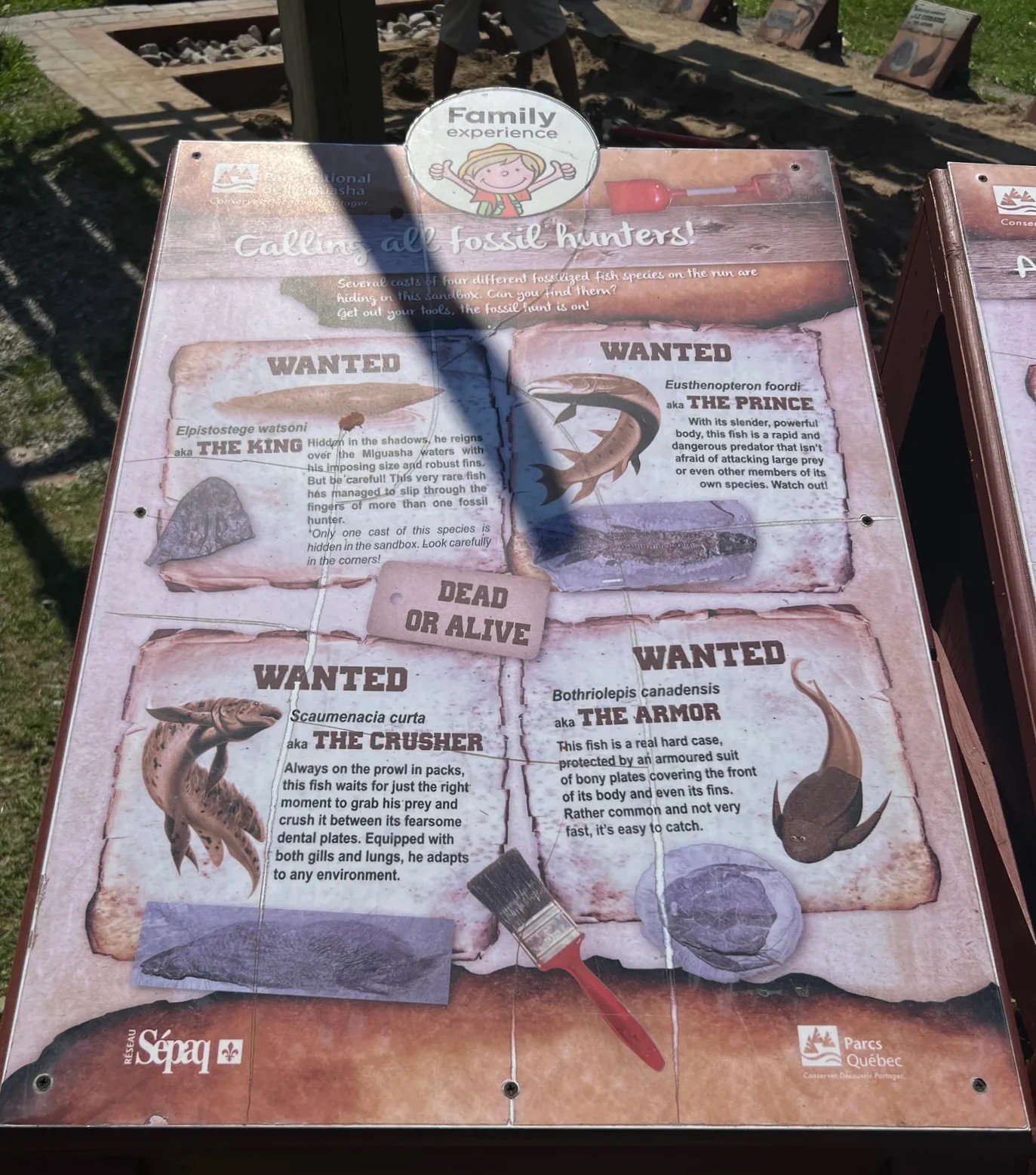
On the way back up from the shore, an outdoor table in front of the visitor center held a display introducing Miguasha’s fossil fish like Wild West "Wanted" posters. It’s aimed at families and kids.
The indoor exhibit hall
We went into the exhibit hall around 11:20 a.m. Every wall had fish fossils still set in their slabs of stone.
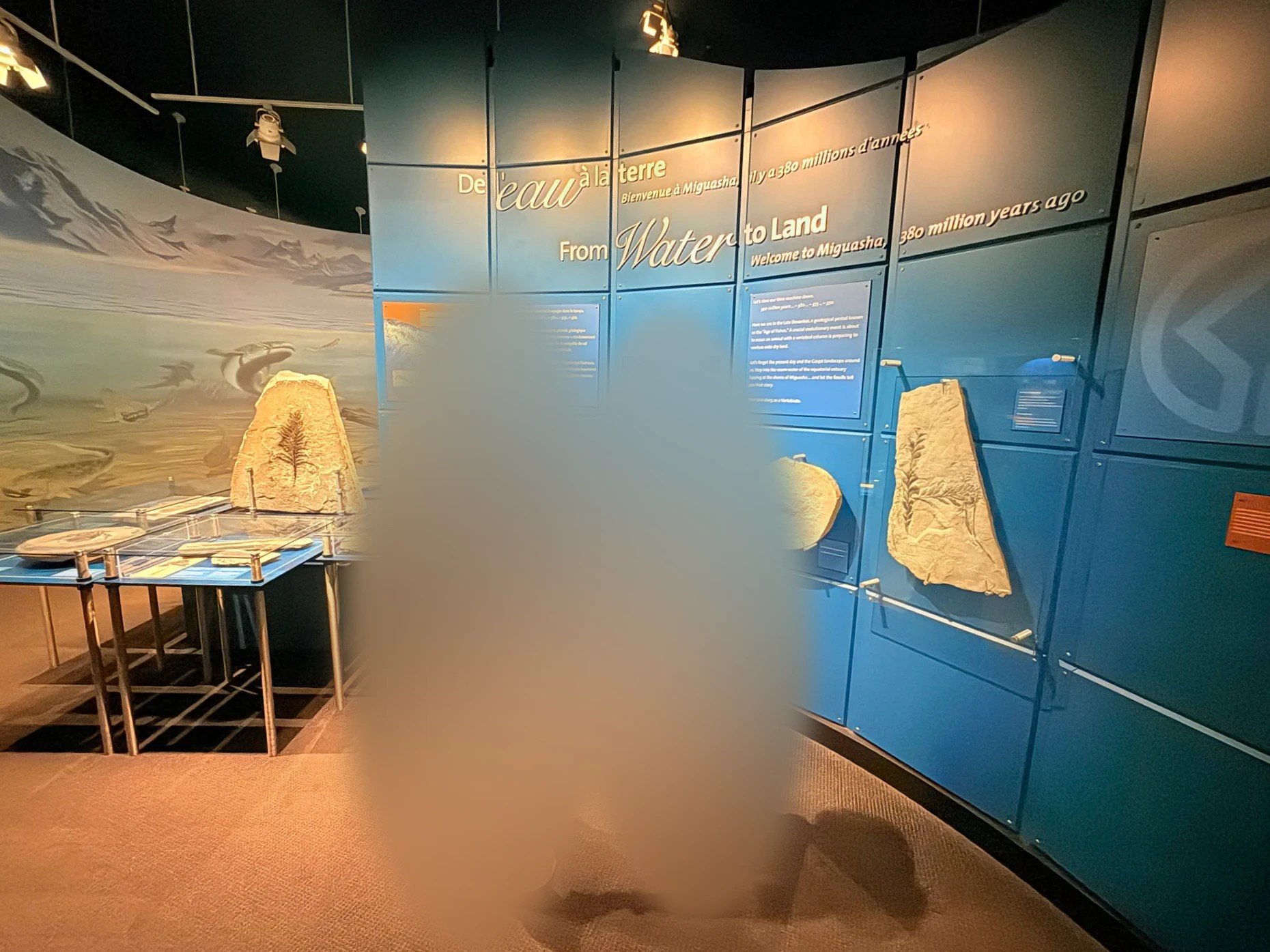
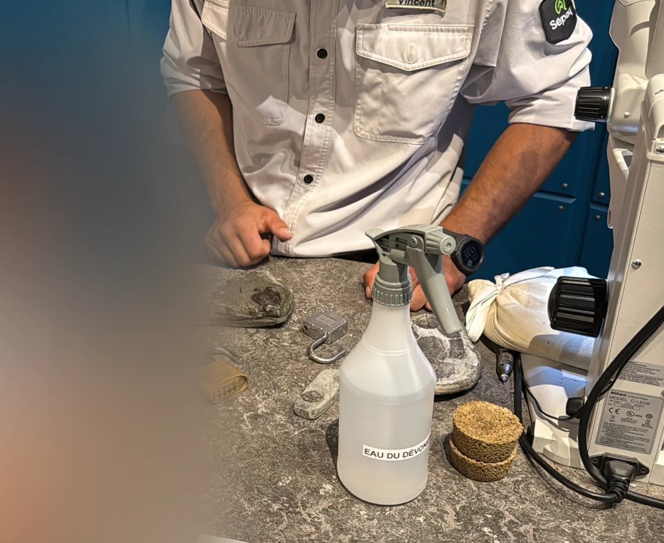
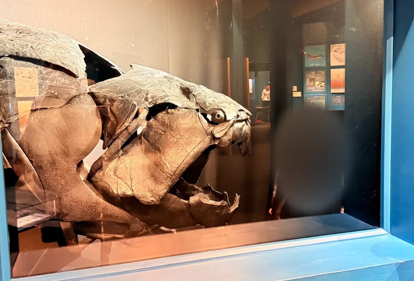
At a workbench on one side of the hall, a staff member brought out fossils to show our kid and explained them. Then we passed a model of an ancient fish with a head as hard as armor.
Deeper in the hall is a room devoted to a complete specimen of Elpistostege (Elpistostege watsoni) found here. It’s considered an intermediate step between fish and four-legged animals. In 2010 an intact specimen, 1.57 m (5 ft 2 in) from head to tail, came out of this cliff, and it was published in the scientific journal Nature in 2020. Inside its pectoral fin is a row of bones resembling the bones of a human arm and fingers, which is why it was presented as a fossil that shows where the hand came from (Flinders University).
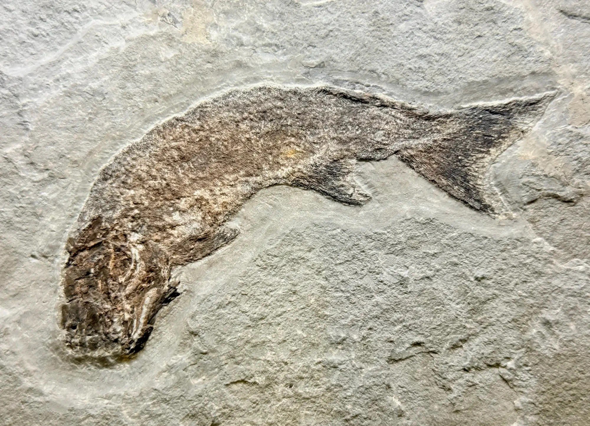
There’s also a scavenger hunt for kids, the "Elpi Rally," and a sand play area. Between the exhibit and the tour, we spent close to two hours.
A real fish fossil to keep at homeView on Amazon
The three-day Gaspé tour from Montreal (KKday) follows the Chaleur Bay coast but doesn’t stop at Miguasha.
Carleton-sur-Mer: seafood poutine
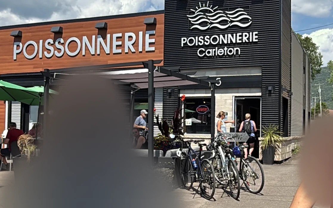
About 15 minutes east of Miguasha is Carleton-sur-Mer (Carleton-sur-Mer), a town between a sandbar on the sea side and Mont Saint-Joseph. For lunch we bought one seafood poutine at the fish shop Poissonnerie Carleton (Poissonnerie Carleton). This one was poutine with seafood in a cream sauce.
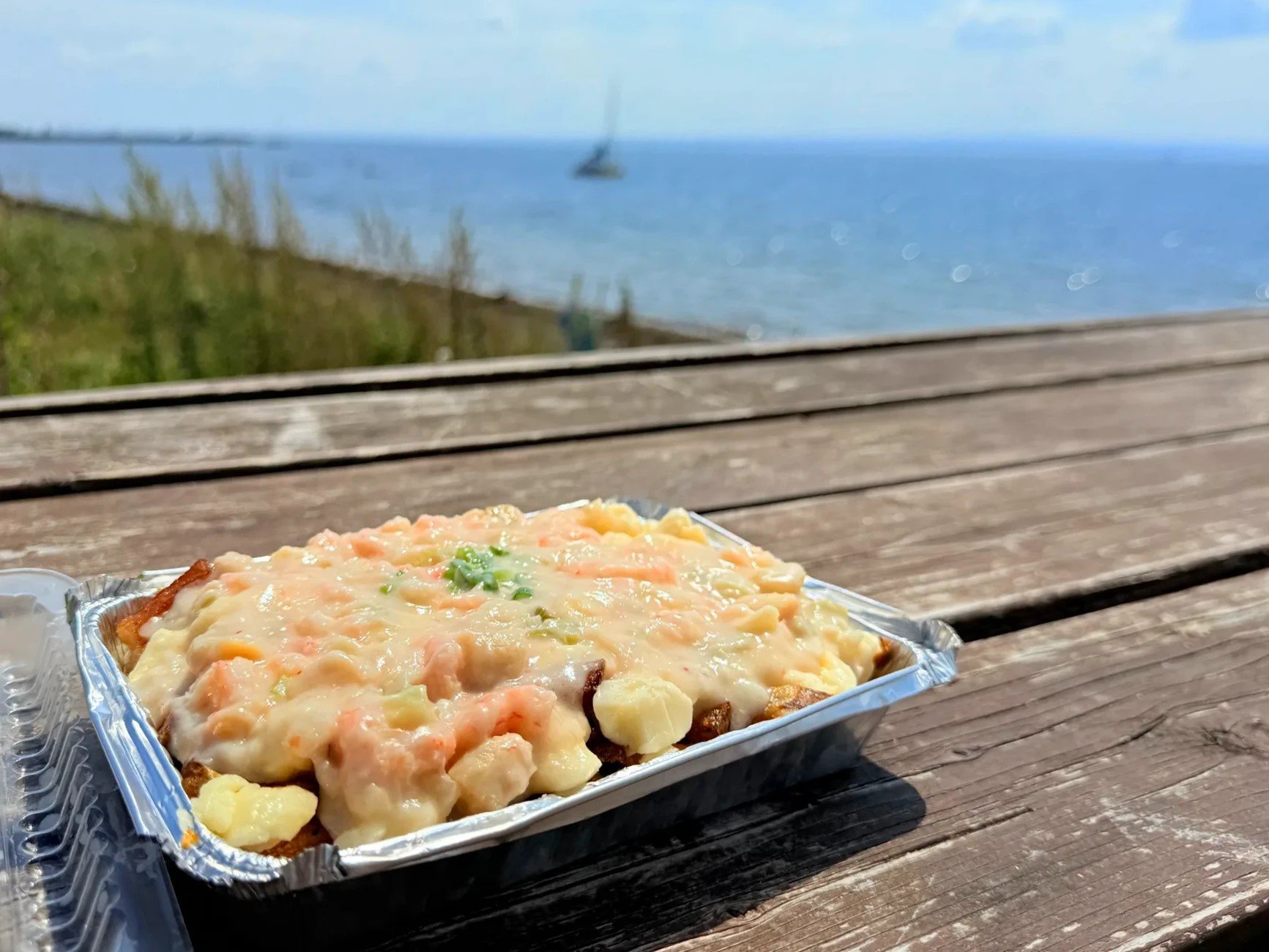
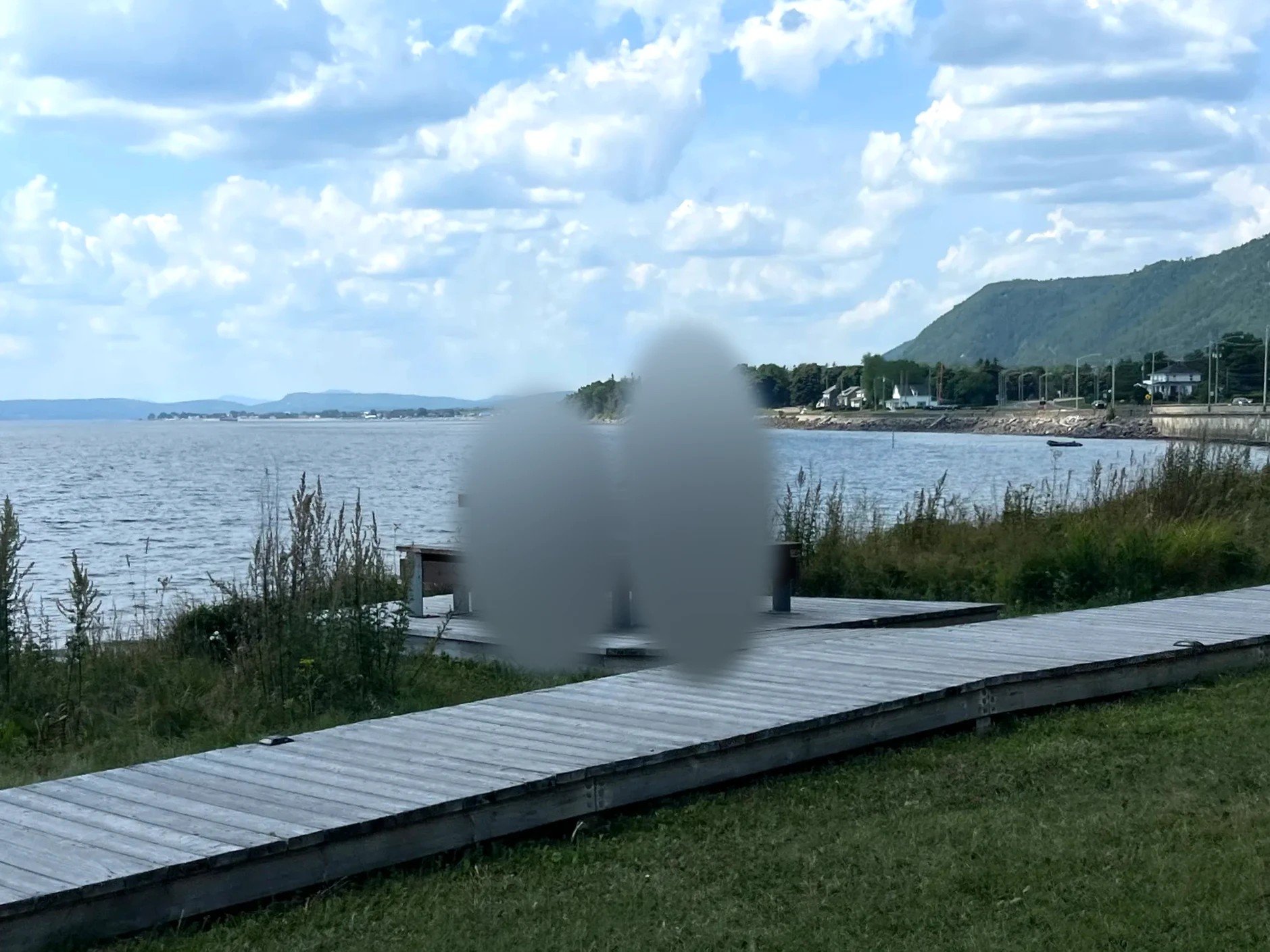
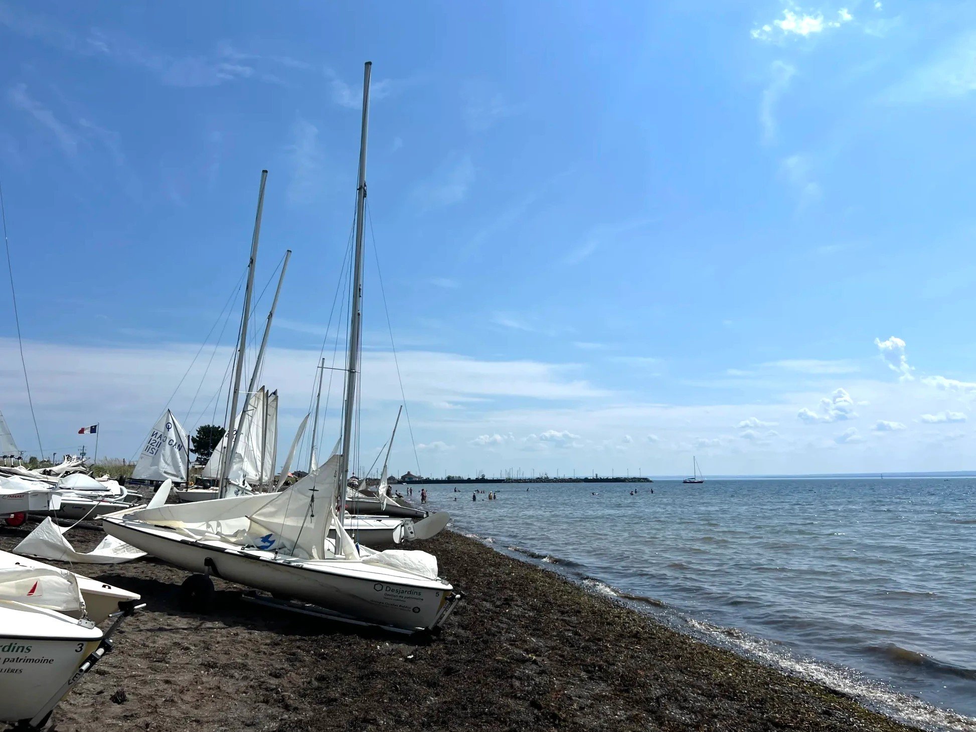
We ate a quick lunch at a table by the water, then walked along the shore. Small sailboats had been pulled up onto the sand.
Stay
A night in Carleton-sur-Mer
Maria: green seaweed like troll hair
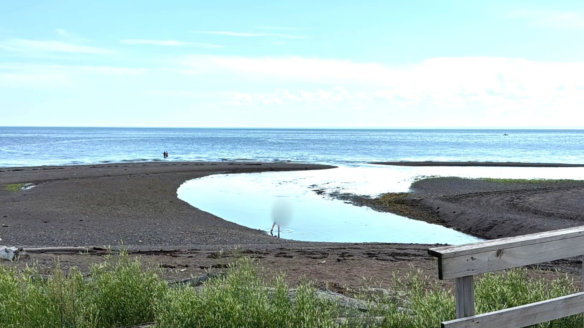
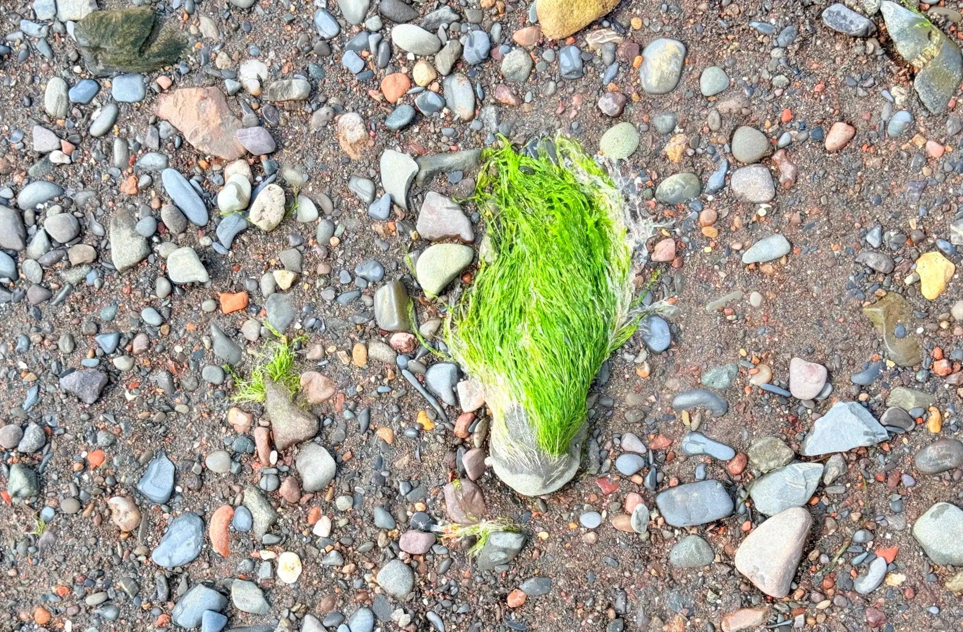
At Plage des Goélands in Maria, the water was shallow enough that other people were wading around too. Green seaweed clung to the rocks under the water. It looked like the green hair on the troll dolls from the animated movies, which struck us as odd. It seemed to be some kind of fine, threadlike green seaweed.
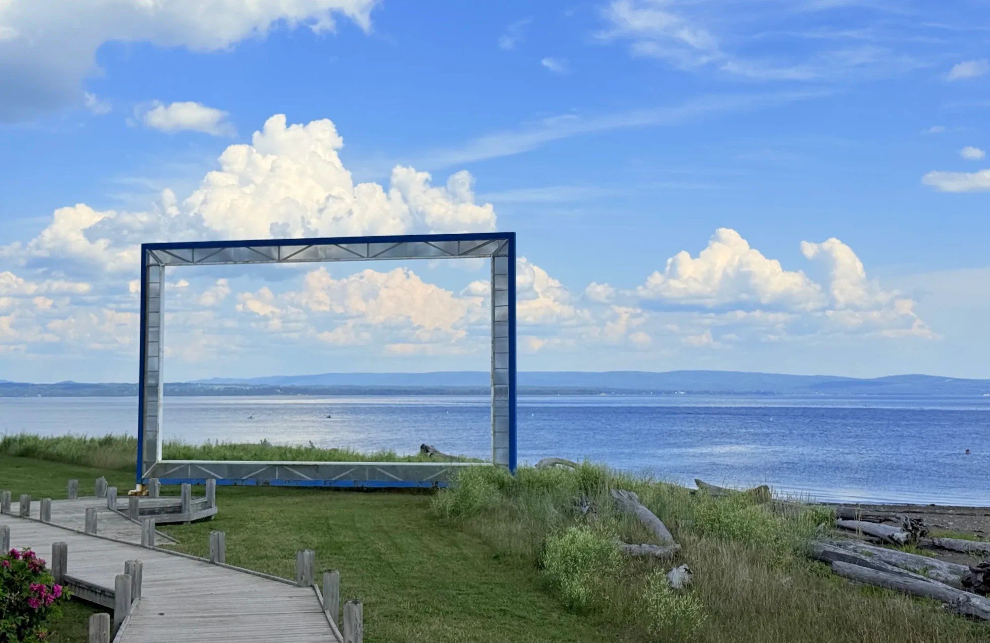
A large picture-frame sculpture stands on the beach promenade, framing the view of the sea. You can step inside it for a photo.
Kids' water shoes for shallow beachesView on Amazon
Paspébiac: buying mackerel tackle
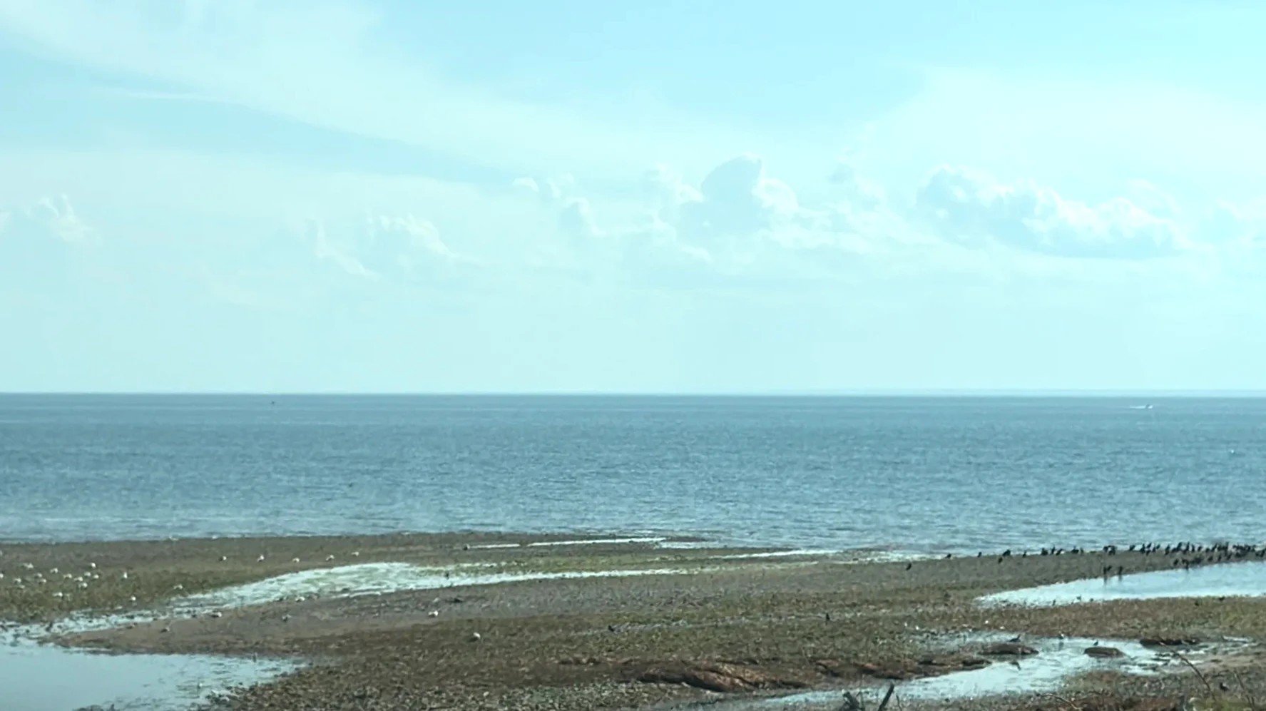
Leaving Maria on Route 132, we drove past wide tidal flats the falling water had left exposed beside the road.
Paspébiac is a little over an hour east of Maria. There was a Canadian Tire (a Canadian chain that sells hardware and outdoor gear) in a strip mall on the main road, so we stopped. Mackerel fishing was the goal of this trip, so we bought our tackle here. One wall was hung full of mackerel rigs, several hooks on a single line. Buying rigs like these before you go saves time once you’re there.
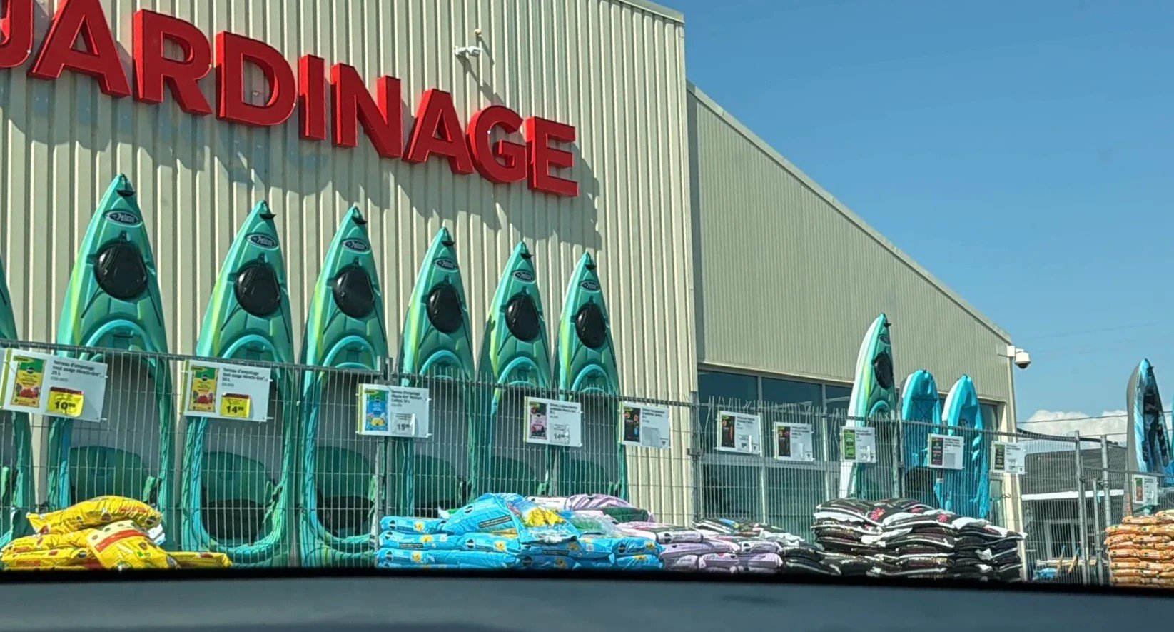
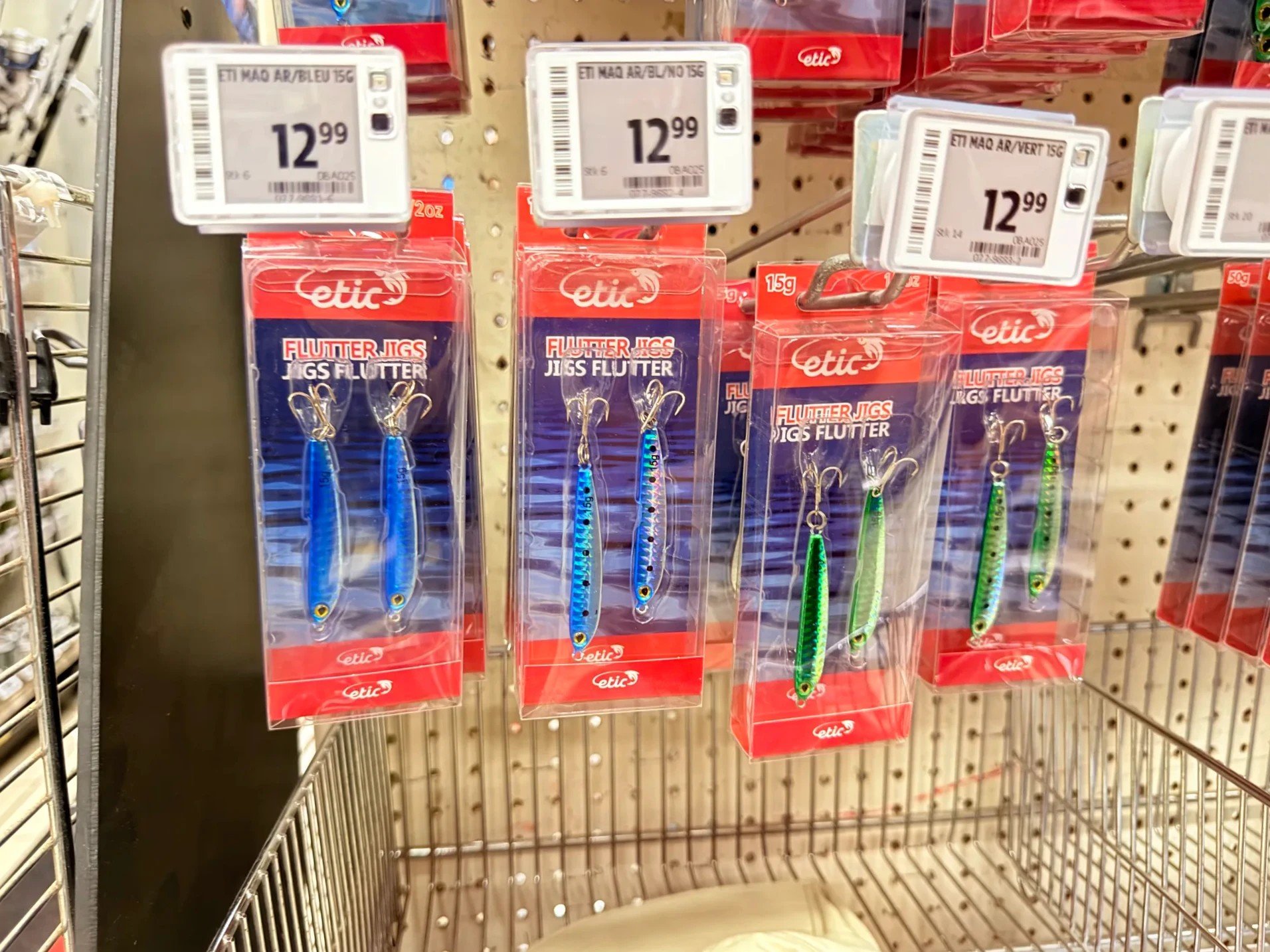
Fishing tackle
Mackerel tackle to buy ahead
Also for mackerel: metal jigs (Amazon)
Port-Daniel: shallow water between sandbars
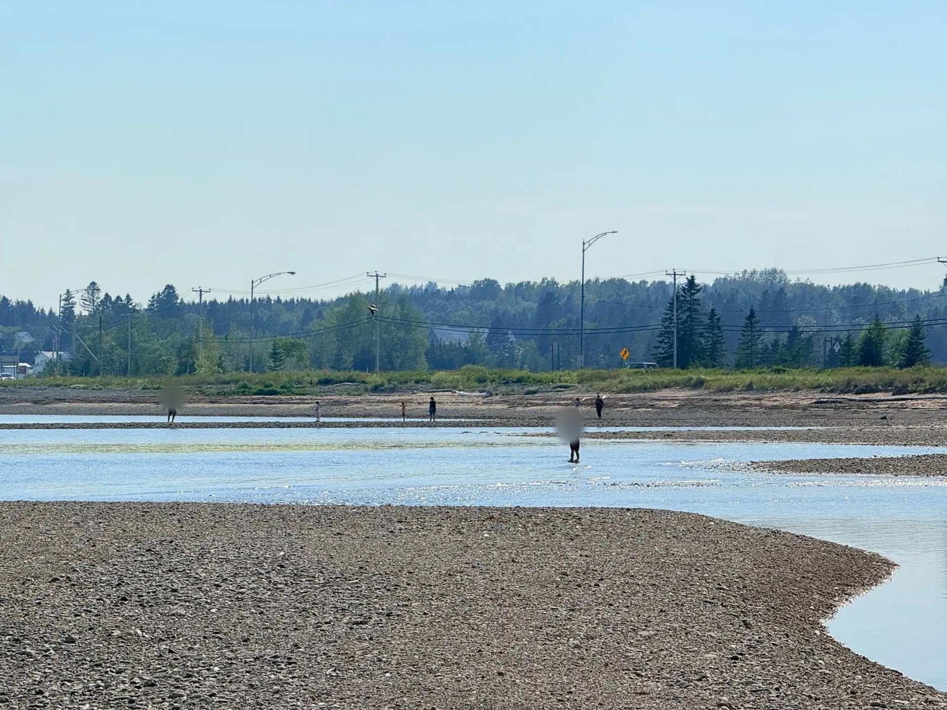
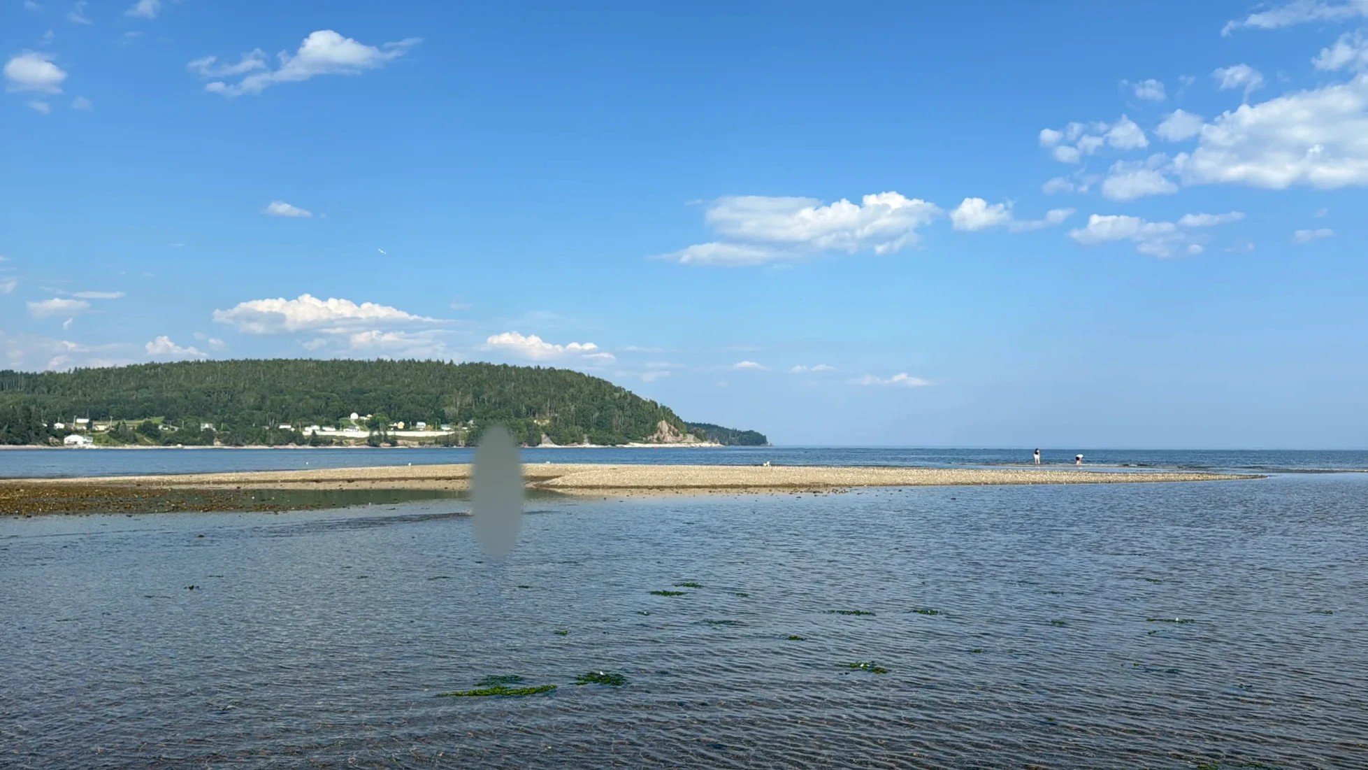
Port-Daniel (officially Port-Daniel–Gascons today) is a village about 40 minutes east of Paspébiac, just west of Chandler. A long sandbar runs along the inner part of the bay. The water was so shallow that we stopped out of curiosity and ended up wading for a good while. Small clams and fish showed through the clear water. When we picked up a blue mussel shell at the water’s edge, a tiny shrimp was living inside it. We looked for a moment, then put it straight back in the water.
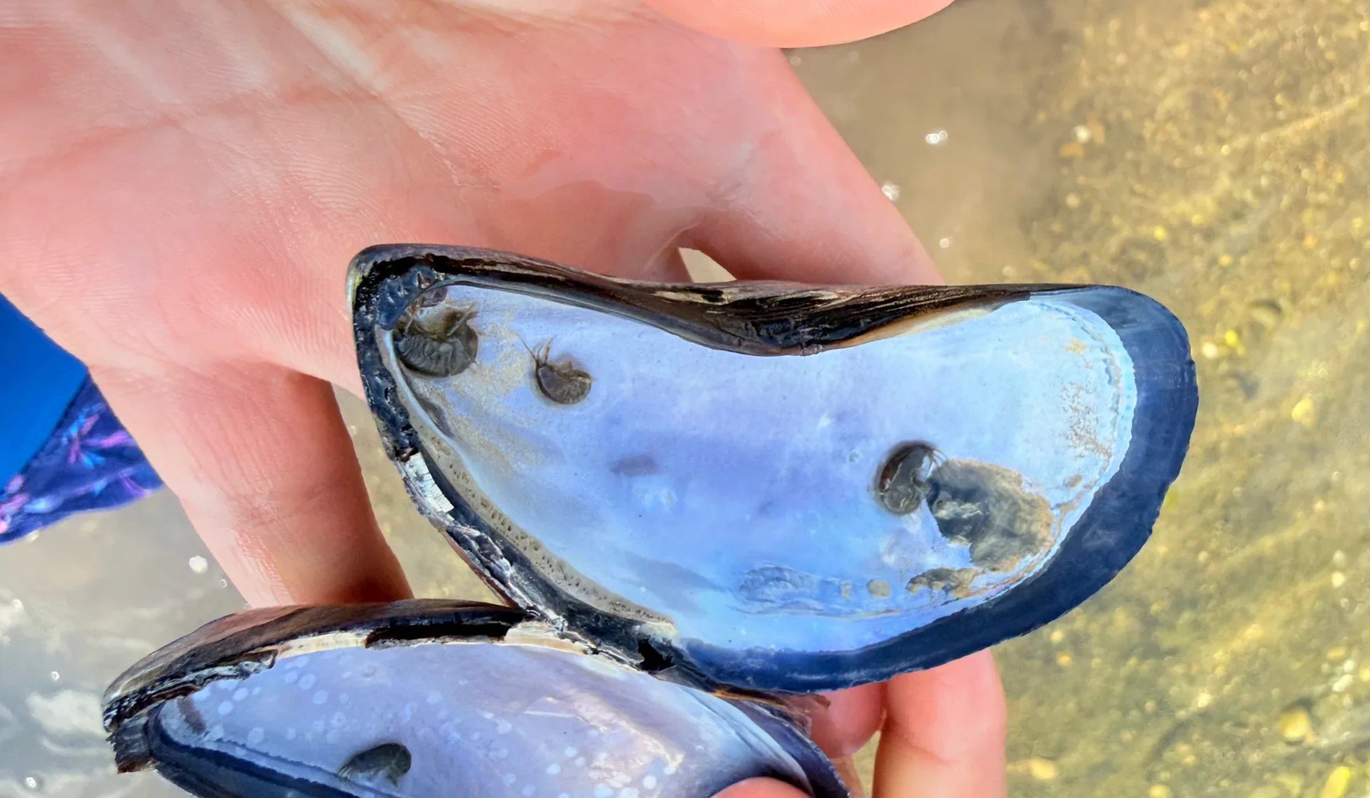
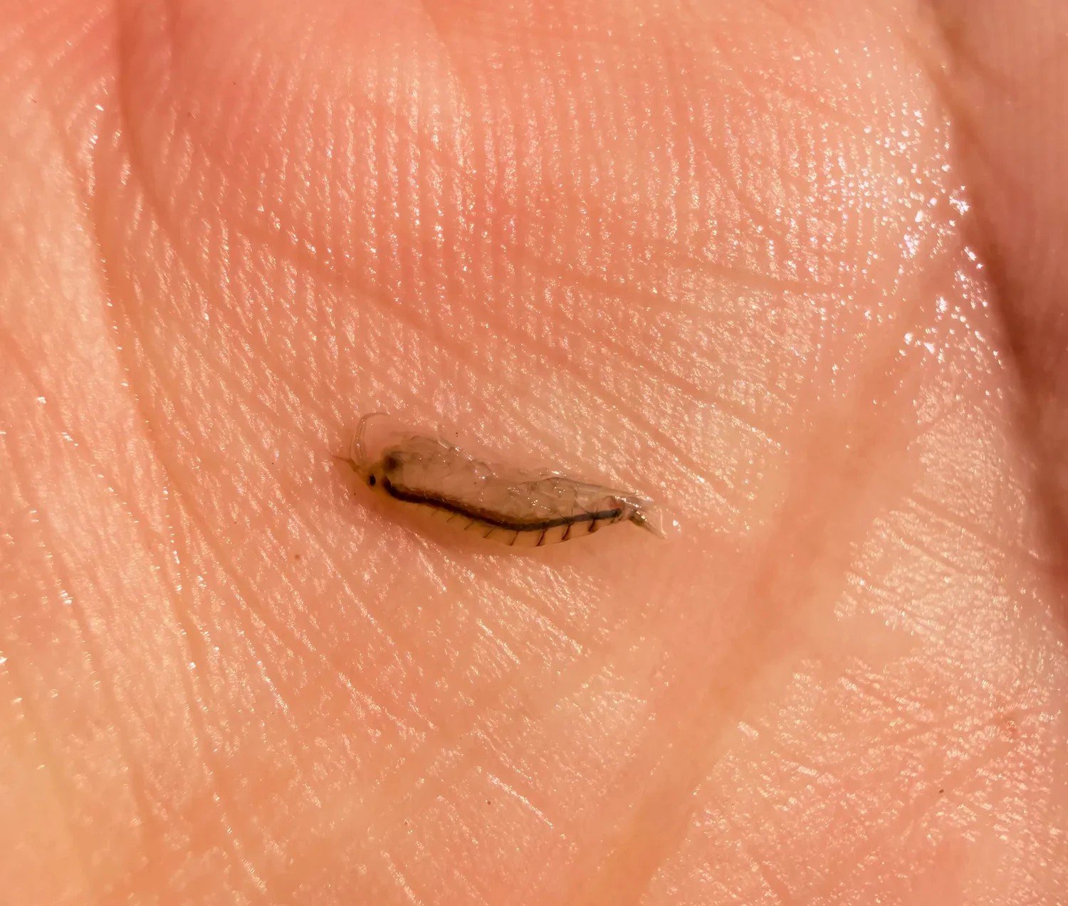
Plage des Beaux Sables: a fine-sand beach
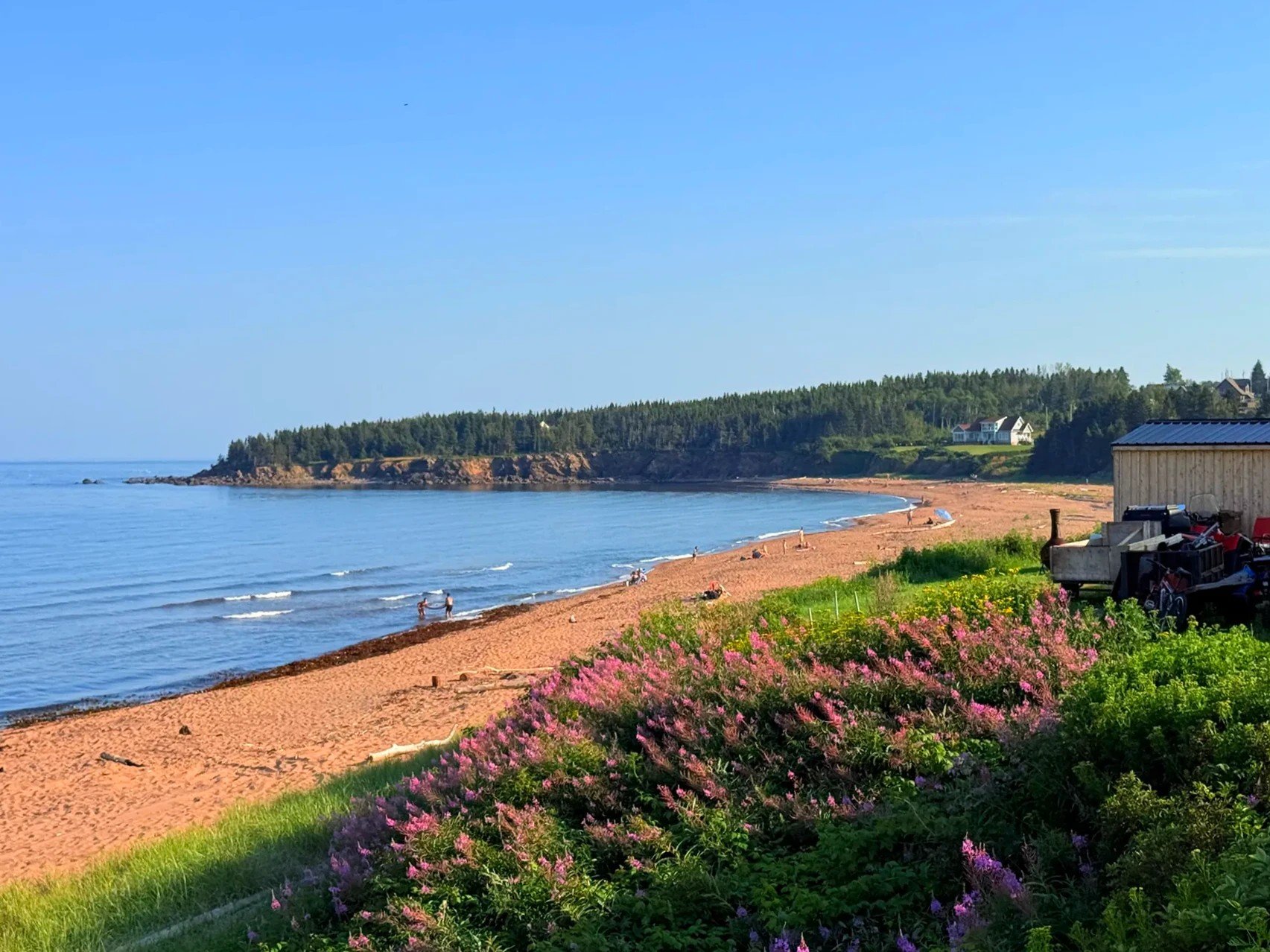
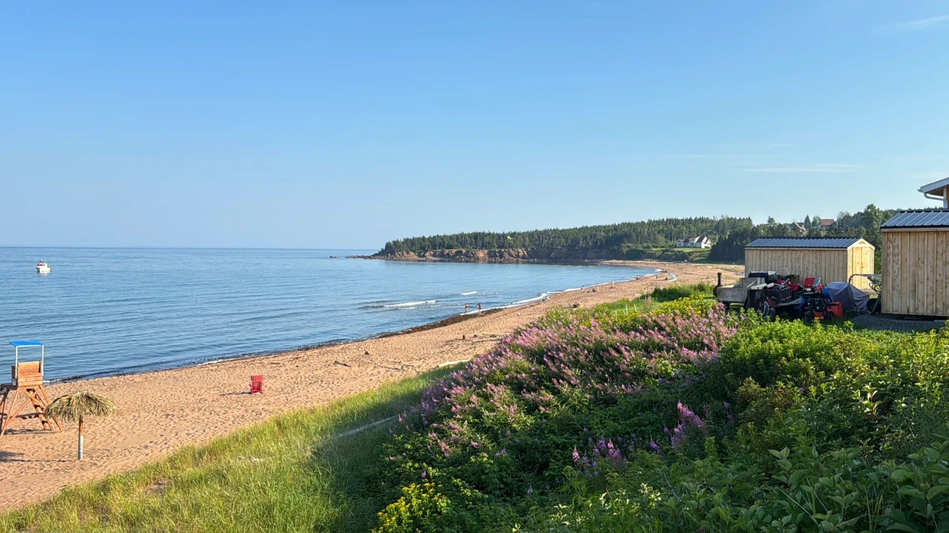
Plage des Beaux Sables sits on the Newport side of the town of Chandler. The name means "beach of beautiful sand," and we went mostly to see how beautiful it would turn out to be. Much of the Gaspésie coast is pebbles, so a wide stretch of fine, reddish sand is rare here. From the path on the hill above, the bay curves wide beyond bushes of pink flowers. On the beach were red chairs, a lifeguard tower and straw parasols.
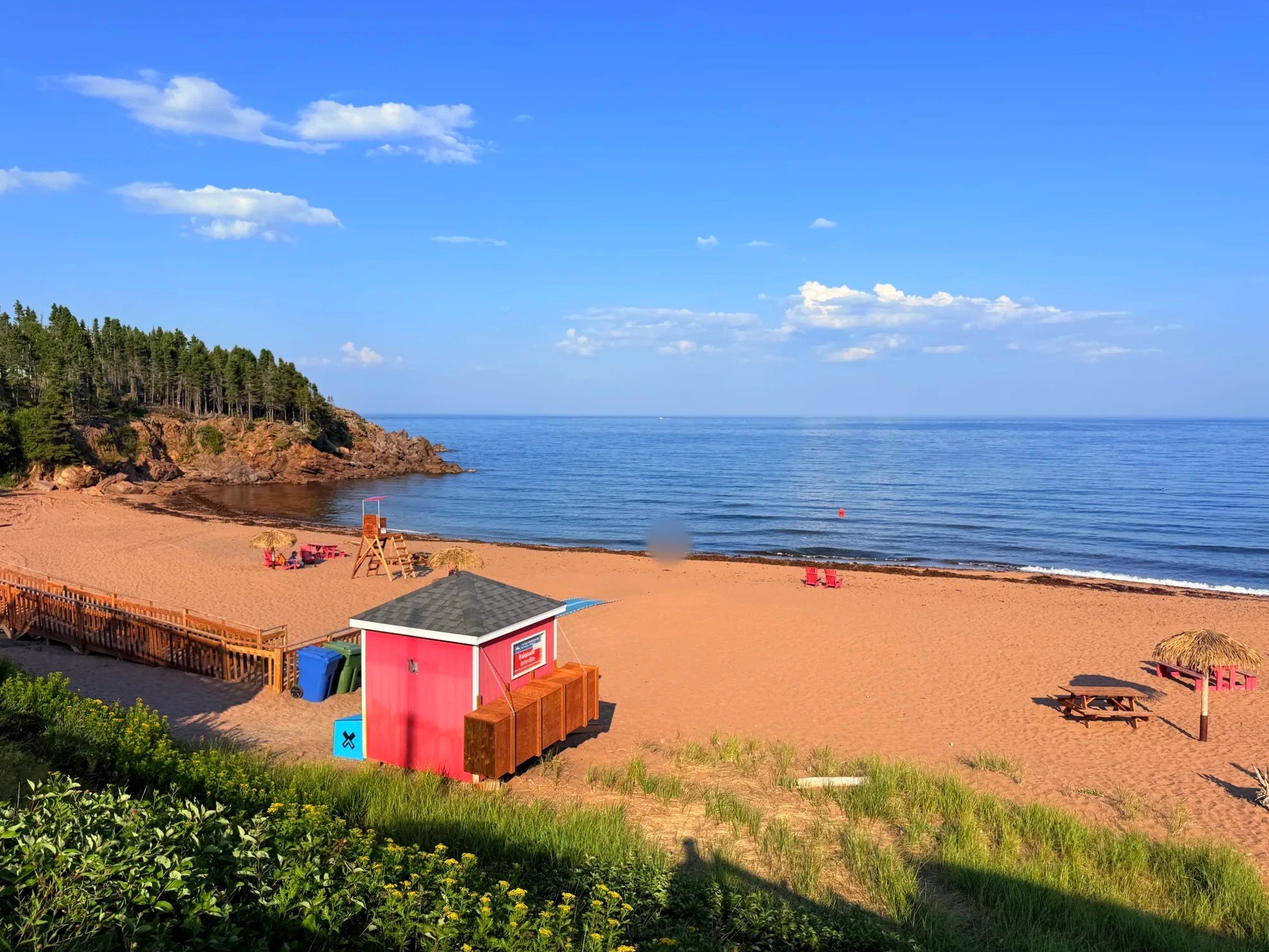
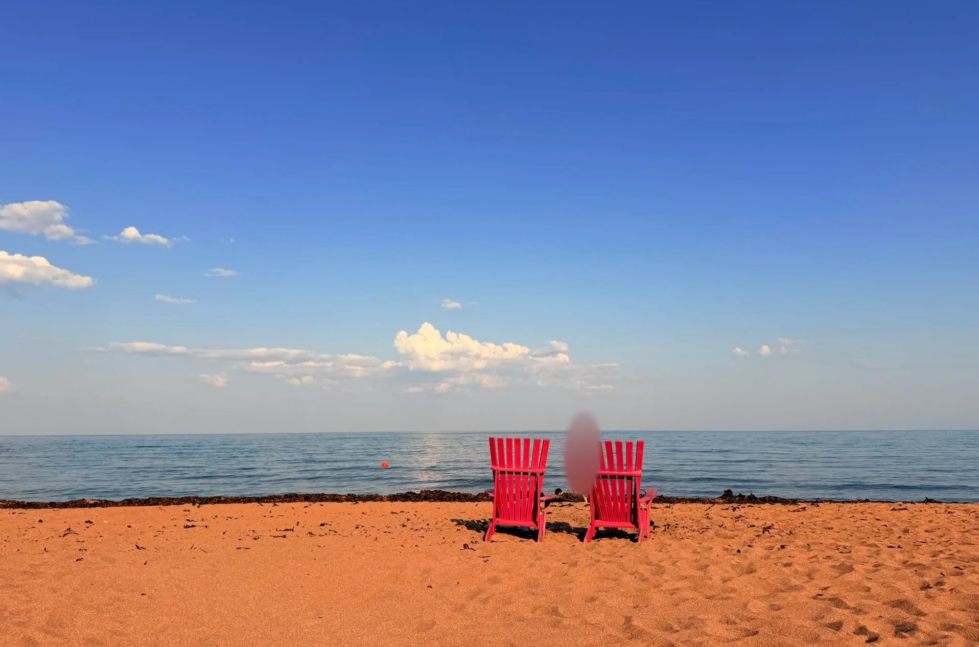
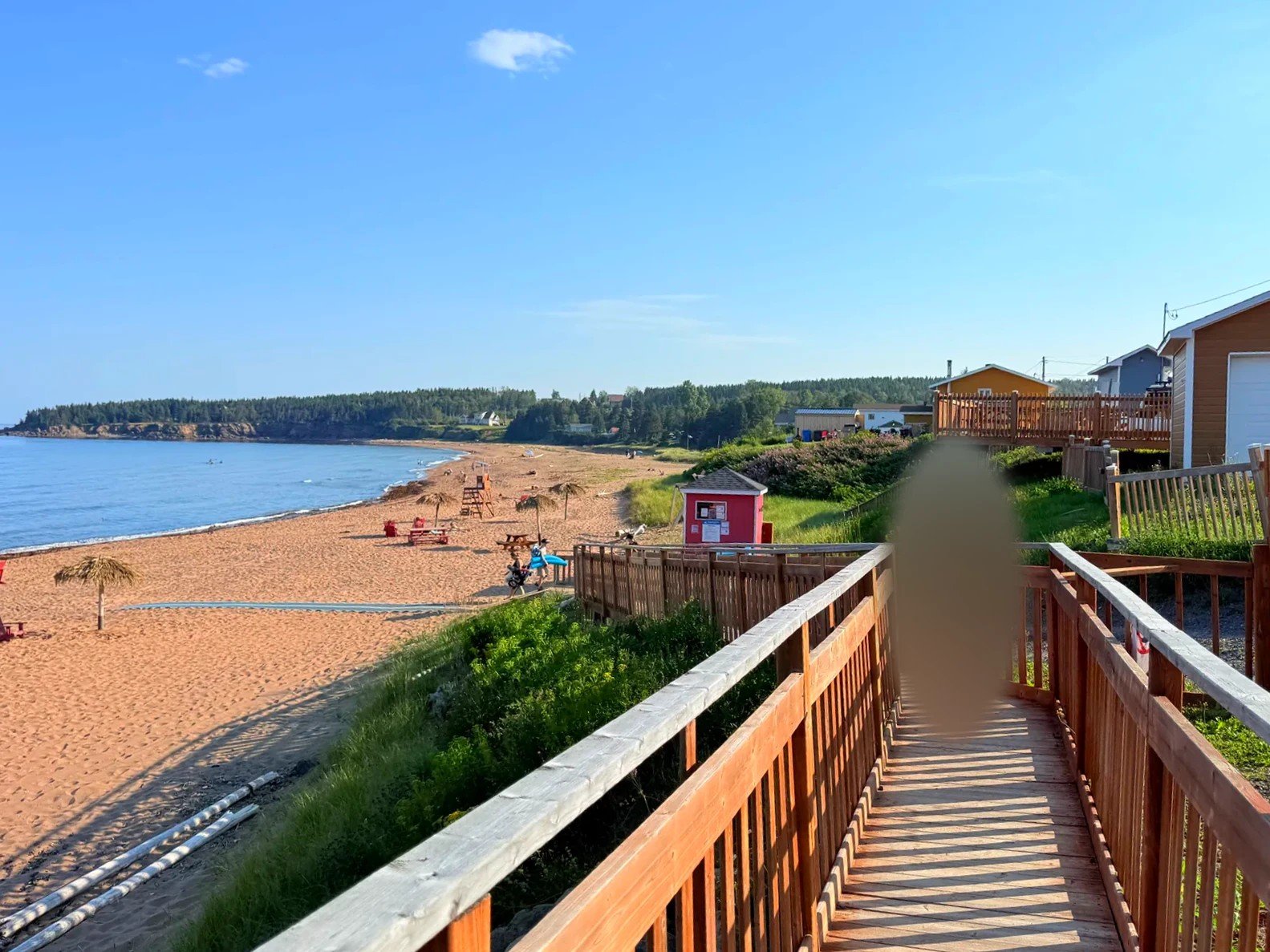
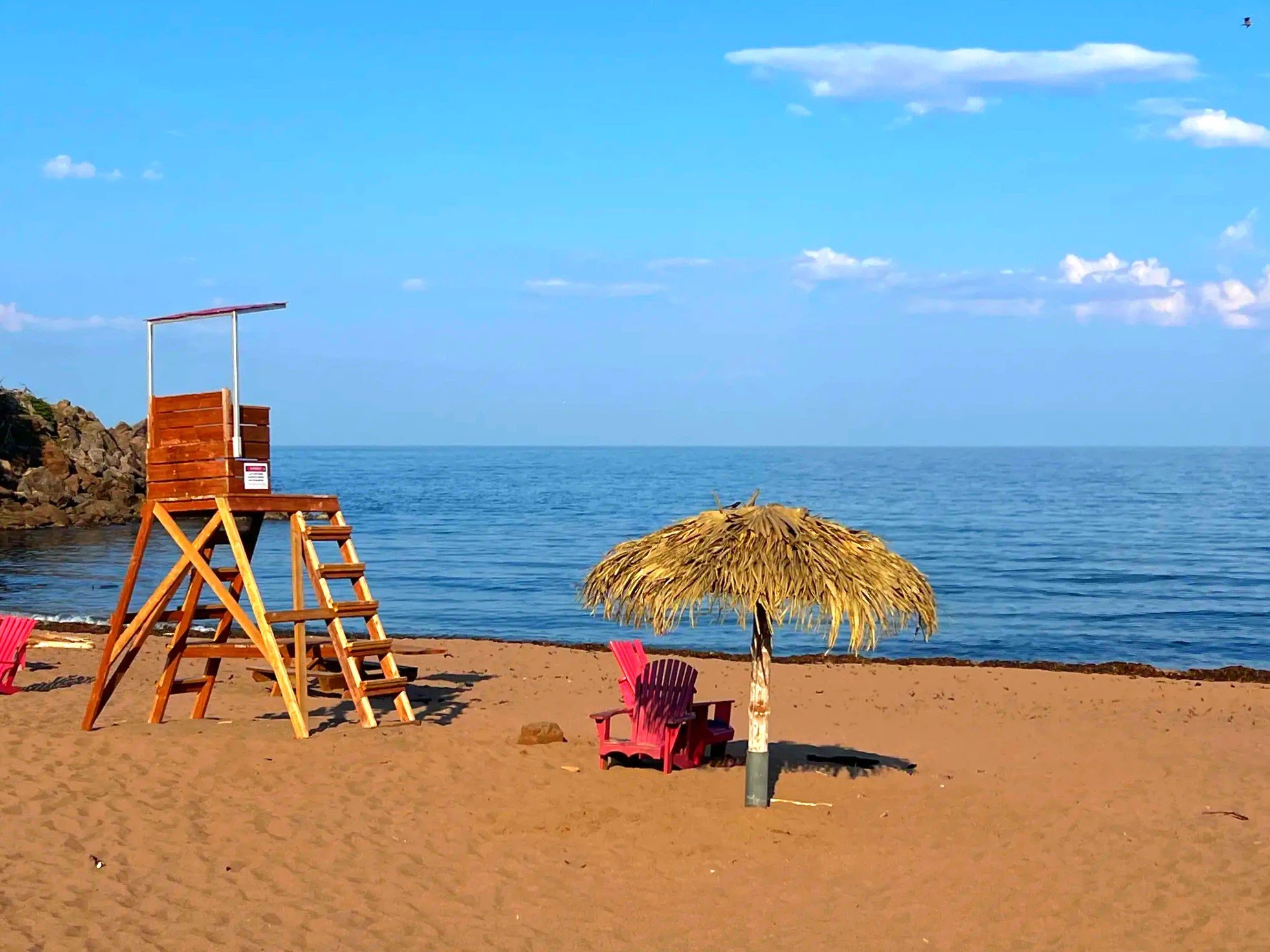
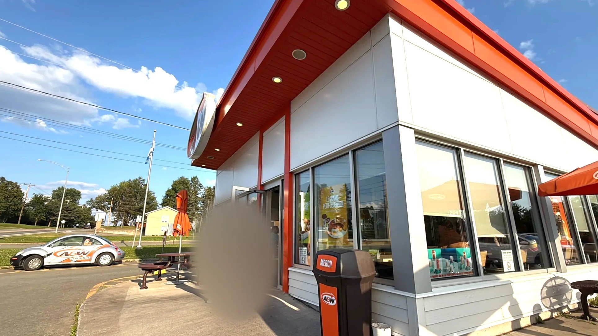
From the beach we went into Chandler for an early dinner at A&W. Since this was a fishing trip, our kid picked the fishing figure from the summer-only toy lineup.
Good to know
Miguasha National Park
SeasonJune 1–Oct. 12, 2026, daily 9 a.m.–5 p.m.
TicketsA SÉPAQ access ticket is required. Daily visitor numbers are capped, so buy ahead on the SÉPAQ website. Free for ages 17 and under.
Guided toursTours run in French and English. The cliff and the trails aren’t suitable for people with limited mobility.
Time neededClose to two hours
Park information as of October 28, 2026, from SÉPAQ Miguasha and Tourisme Gaspésie.
How the three beaches differ
Plage des Goélands, MariaA wide stretch of shallow water. Good for wading and looking at seaweed and small sea creatures.
Port-Daniel bayA shallow bay with long sandbars
Plage des Beaux SablesA fine-sand beach with parking, restrooms and picnic shelters.
TermsWords used in this post
The bay between the south shore of the Gaspé Peninsula and New Brunswick. The French name means "bay of heat."
About 419 million to 359 million years ago. Fish flourished so widely that it’s called the "Age of Fishes."
A fossil fish known from a complete specimen found at Miguasha. It shows features of both fish and four-limbed animals.
FAQ
Is Miguasha good for kids?
The guided tour takes you down to the cliffs on the shore to see the fossil-bearing rock up close, and the indoor museum has a treasure hunt for kids. Our kid came home with a small fossil kit.
Can you take fossils home from Miguasha?
No. SÉPAQ park rules apply.
Recap
Time on the roadFrom arriving at Miguasha at 10 a.m. to A&W at 6 p.m.
Time at Miguasha10–11:50 a.m.
Three beachesMaria 10 minutes, Port-Daniel 45 minutes, Plage des Beaux Sables 30 minutes
In the morning we looked at 380-million-year-old fish fossils; in the afternoon we walked the shallow waters of Chaleur Bay, one beach after another. We had dinner at A&W in Chandler, then drove on to our lodging near Percé.
Location and getting there
On the map below, 1 is Miguasha, 2 is Carleton-sur-Mer and 3 is Port-Daniel.
Lines are simplified and don’t follow the actual roads.
Getting around
This is a road trip
We drove the full loop around the peninsula from Montreal. Rent a car in Montreal and follow the same road.
What we needed for this trip
Gear
Fishing tackleBought at Canadian Tire in Paspébiac
Bookings
SÉPAQ annual passUsed for Miguasha admission and the guided tour
Sources
- SÉPAQ: Miguasha National Park
- Tourisme Gaspésie: Miguasha National Park
- Sortir au Québec: Plage des Beaux Sables
- Le Routard: Maria (in French)
Not in the list? Search it yourself
Places to stay nearby, on a map
Affiliate link: if you book through this search, the blog earns a commission at no extra cost to you. Results open in a new tab. About affiliate links
Discover more from Elsewhere, Mostly
Subscribe and get new posts sent straight to your inbox.