Winter Grand Circle in December, part 7: Wednesday afternoon, December 22, 2021, to 2 p.m. on Thursday, December 23
After Arches, we visited Goblin Valley and Capitol Reef: we walked among the mushroom rocks just before sunset, spent the night in Torrey, saw the petroglyphs and Hickman Bridge the next morning, then drove Highway 12.
- This postThe afternoon of day 6 and the morning of day 7 of a December rental-car road trip around the Grand Circle, driven counterclockwise. Over those two days we crossed the stretch between Arches and Bryce Canyon: Capitol Reef National Park, one of Utah’s five national parks (the Mighty 5), and the country around it. We left Arches National Park, drove west, spent dusk at Goblin Valley State Park and slept in Torrey. The next morning we saw the petroglyphs and Hickman Bridge at Capitol Reef, then followed Utah Highway 12 to Bryce Canyon.
- LocationSouth-central Utah. Moab to Goblin Valley took us about 1 hour 40 minutes by car, and Goblin Valley to Torrey about the same.
- Dates and weatherMostly cloudy on the afternoon of December 22, overcast on the 23rd. The edges of the Fremont River were frozen, and there was snow on the pass over Boulder Mountain.
- StopsGoblin Valley State Park 1 hr 20 min, from just before sunset until duskCapitol Reef petroglyphs 25 min, boardwalkHickman Bridge Trail 2 hr, 1.8 mi (2.9 km) round tripCapitol Reef Visitor Center 15 minUtah Highway 12 2 hr 10 min from Torrey to Bryce Canyon, with a few roadside stops
- EntryGoblin Valley is a state park, so the national park annual pass doesn’t work there; we paid $20 per vehicle (still $20 as of October 2026). At Capitol Reef we only saw the petroglyphs and Hickman Bridge along Highway 24, so we paid nothing.
- BookingLodging in Torrey
- Where we stayedDecember 22, Torrey: Broken Spur Inn & Steakhouse
- WhoThe three of us: my wife, our kid and me
- RouteWednesday, December 22, afternoon
- Leave MoabLunch to go, eaten in the car
- 🚗 I-70 and Highway 24, 1 hr 40 min
- Goblin Valley State ParkWalk1 hr 20 minFrom just before sunset until dusk
- 🚗 Via Hanksville and Capitol Reef, 1 hr 40 min
- Arrive in TorreyStay
- Leave TorreyStayAfter breakfast and checkout
- 🚗 Highway 24 east, 20 min
- Capitol Reef petroglyphsSight25 minBoardwalk
- Hickman Bridge TrailWalk2 hr1.8 mi (2.9 km) round trip
- Capitol Reef Visitor CenterSight15 min
- 🚗 Highway 12 via Boulder and Escalante, 2 hr 10 min
- Bryce Canyon National ParkSightNext post
Contents
From Arches to Goblin Valley
After Arches National Park, we picked up lunch in Moab and got back in the car. It was a simple meal, chosen to keep us moving. Our next bed was in Torrey, to the west, and on the way we planned to stop at Goblin Valley State Park, which we’d been curious about. People driving the Grand Circle split on this one: some stop, some drive right past.
We took US 191 north, picked up Interstate 70 and passed Green River. Long gray mesas lined both sides of the interstate, and once we turned off onto Highway 24, the ground slowly turned redder.
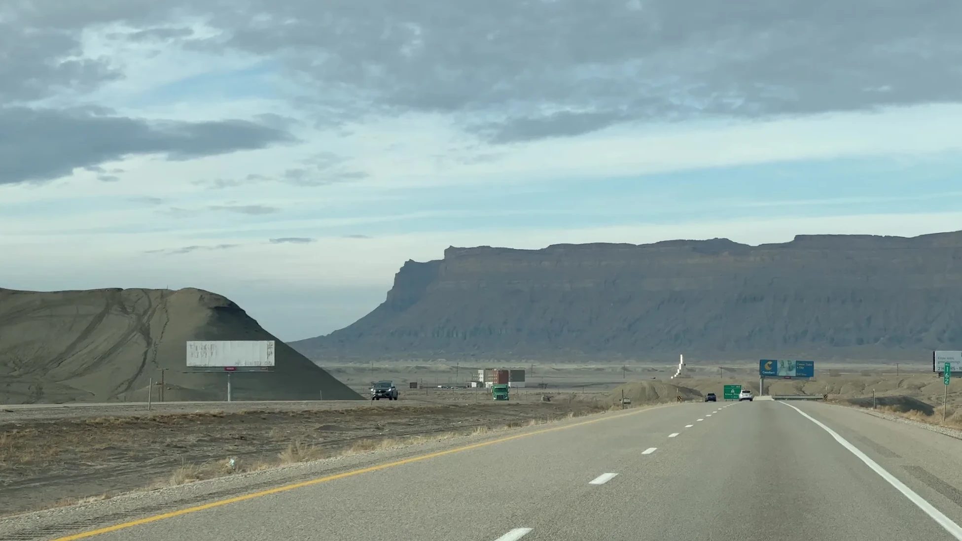
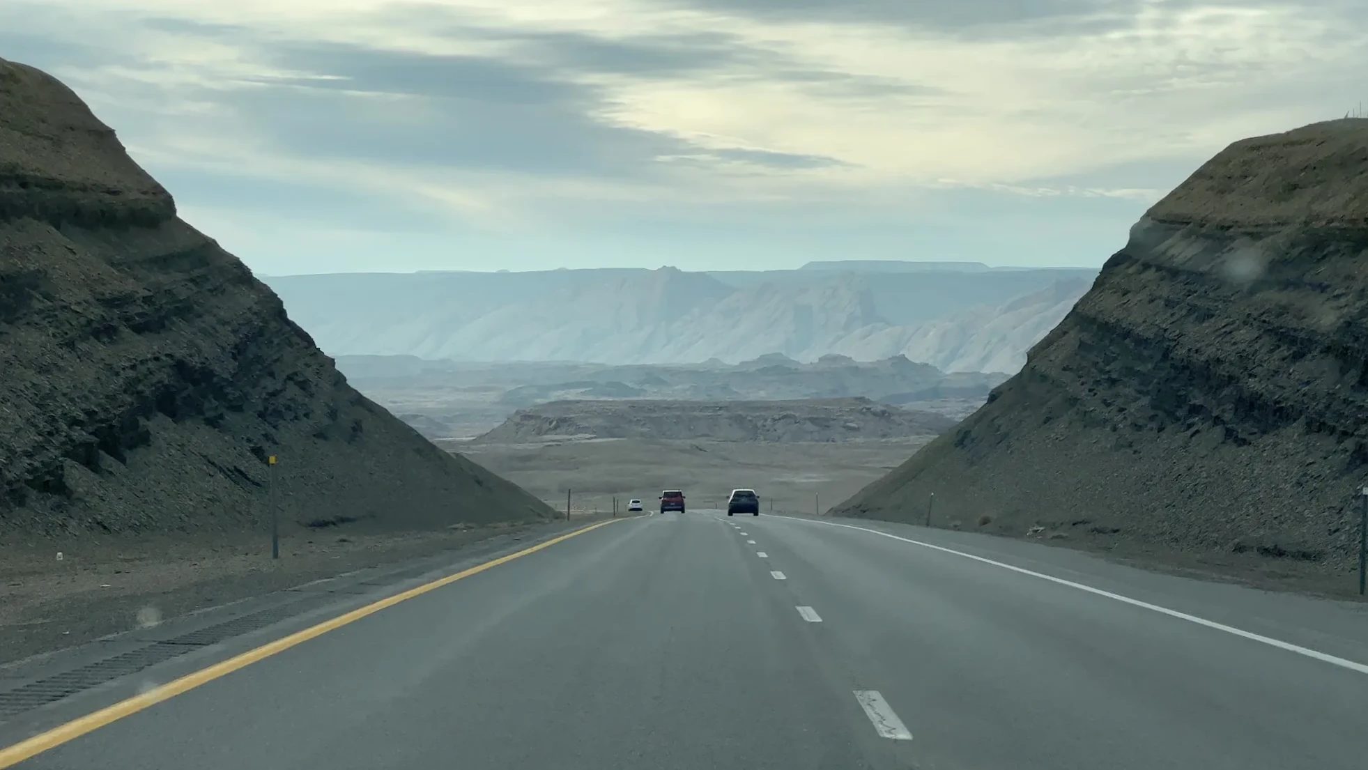
In December the sun goes down early, so we drove without stopping to get there before sunset. Around 4:15 p.m. we passed the turnoff for Goblin Valley, and mushroom-shaped rocks started showing up on the hills in the distance. We reached the park entrance at about 4:25 p.m.
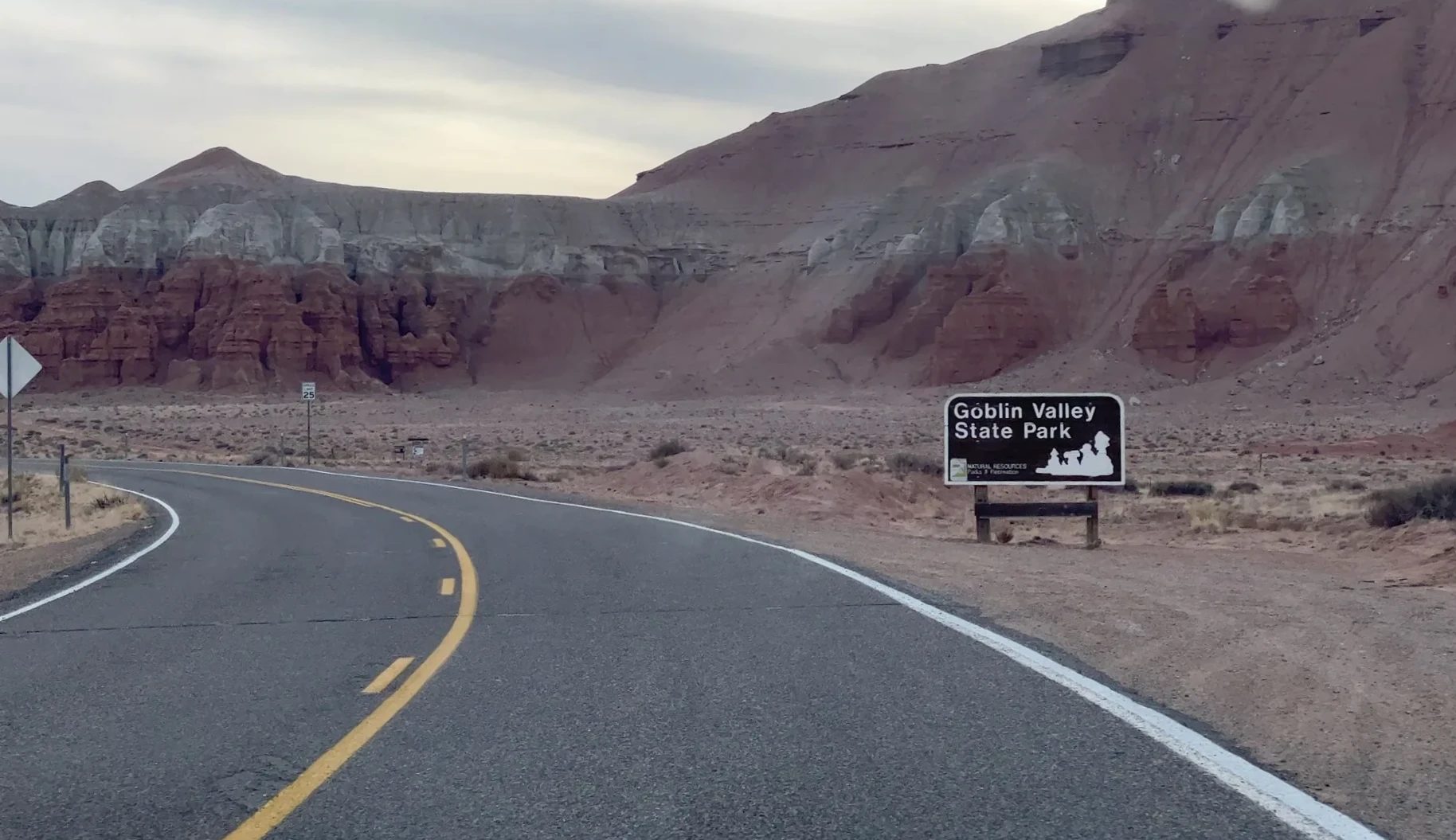
What Goblin Valley State Park is
Goblin Valley is a basin of about 3 sq mi (8 km²) packed with thousands of rocks shaped like mushrooms or little goblins. Geologists call these formations hoodoos; here they also go by goblins. The rock is Entrada Sandstone, laid down on coastal tidal flats about 170 million years ago. Soft layers of siltstone and shale sit between harder layers of sandstone, and as the soft layers wear away first, the big-headed mushroom shapes are left standing.
The first person to make the place known was Arthur Chaffin, who lived nearby and called it Mushroom Valley. It was later renamed Goblin Valley, on the reasoning that “goblin” made people more curious.
The valley has film credits, too. In the 1999 sci-fi comedy Galaxy Quest, the scene where the crew lands on an alien planet inhabited by a rock monster was shot here, and the eroded rock shapes are said to have influenced the design of the film’s stone creature. In 2025 the Utah Film Commission created the Utah Film Trail, linking filming locations around the state, and put up a Galaxy Quest marker at Goblin Valley. Parts of the 1994 comedy City Slickers II: The Legend of Curly’s Gold were filmed here as well. The night sky is dark enough that the park is certified as an International Dark Sky Park.
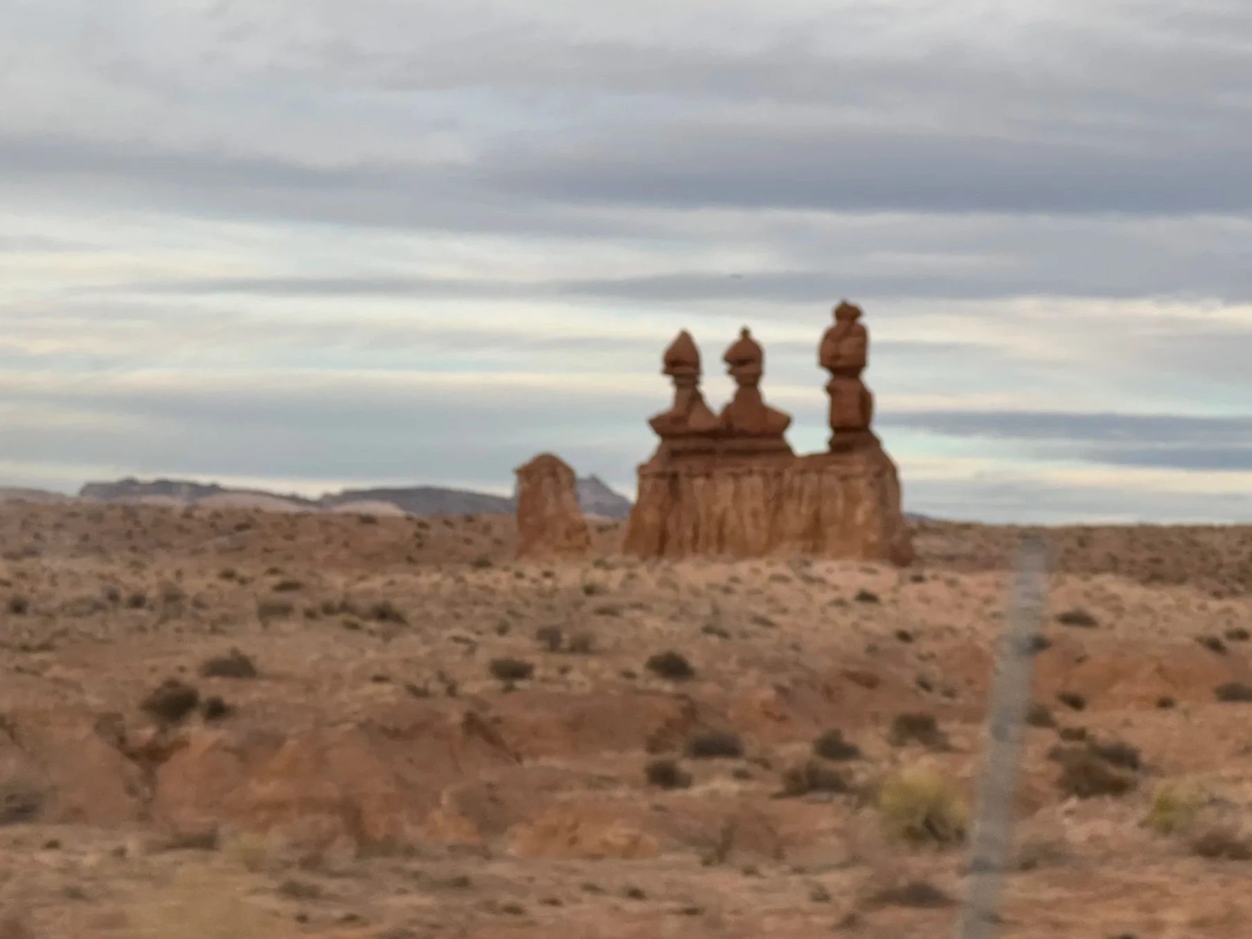
Walking among the mushroom rocks before sunset
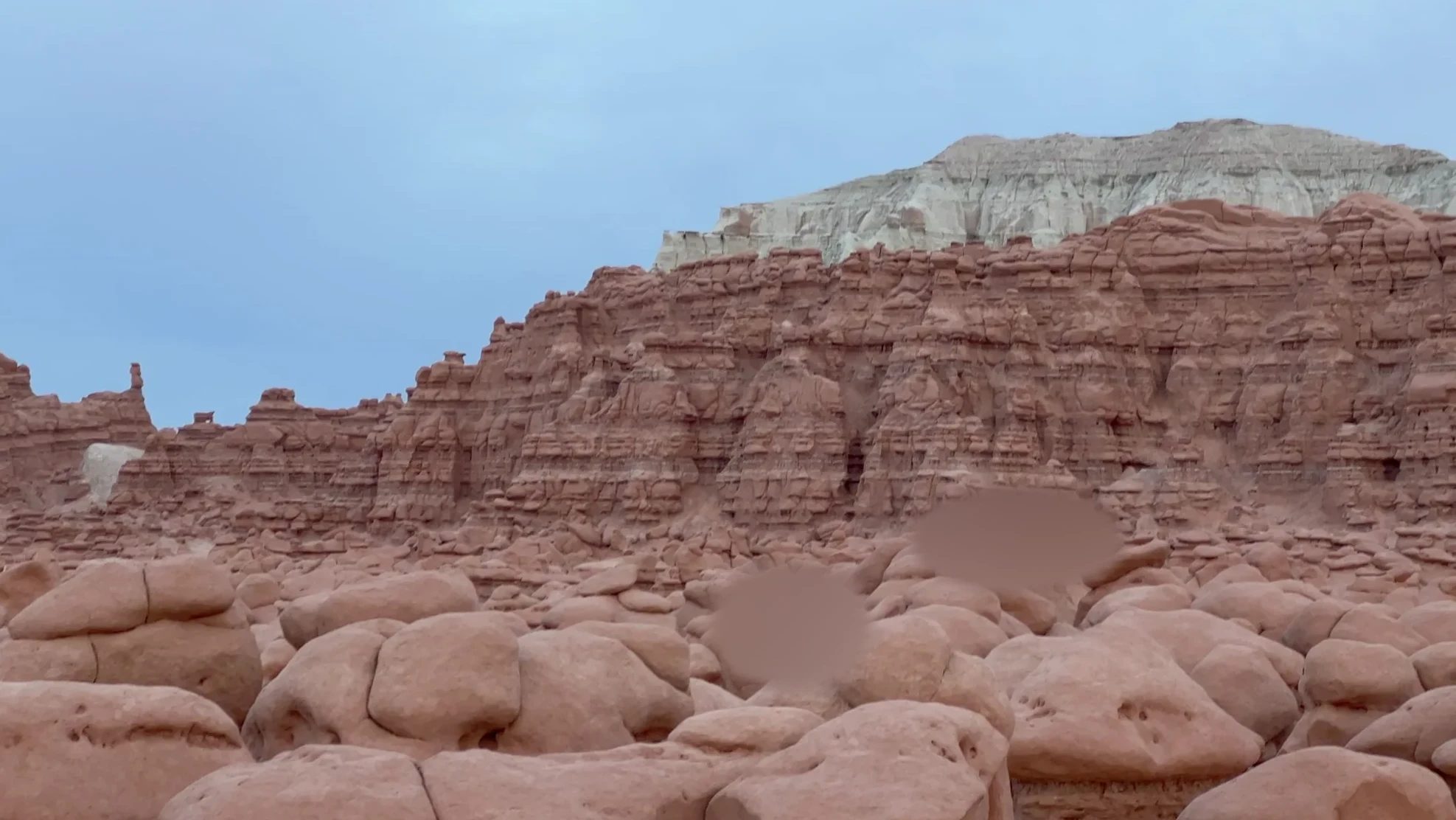
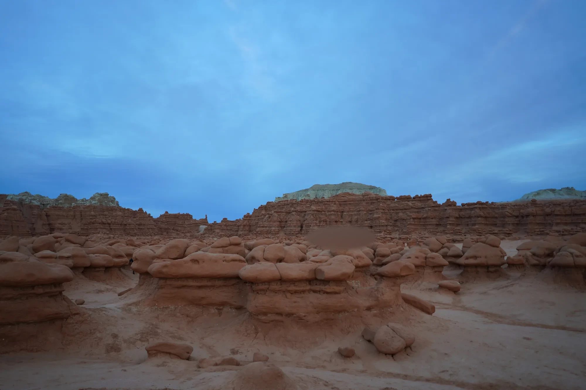
From the viewing shelter by the parking lot, we looked down on red rock caps packed tightly across the valley. There are no set trails here. You walk down into the valley and wander among the rocks wherever you like. The shapes and colors made it feel like we had landed on another planet, and it surprised us just as much that a place like this has no fences and you are free to roam between the formations. There weren’t many people around, which made it feel even more foreign.
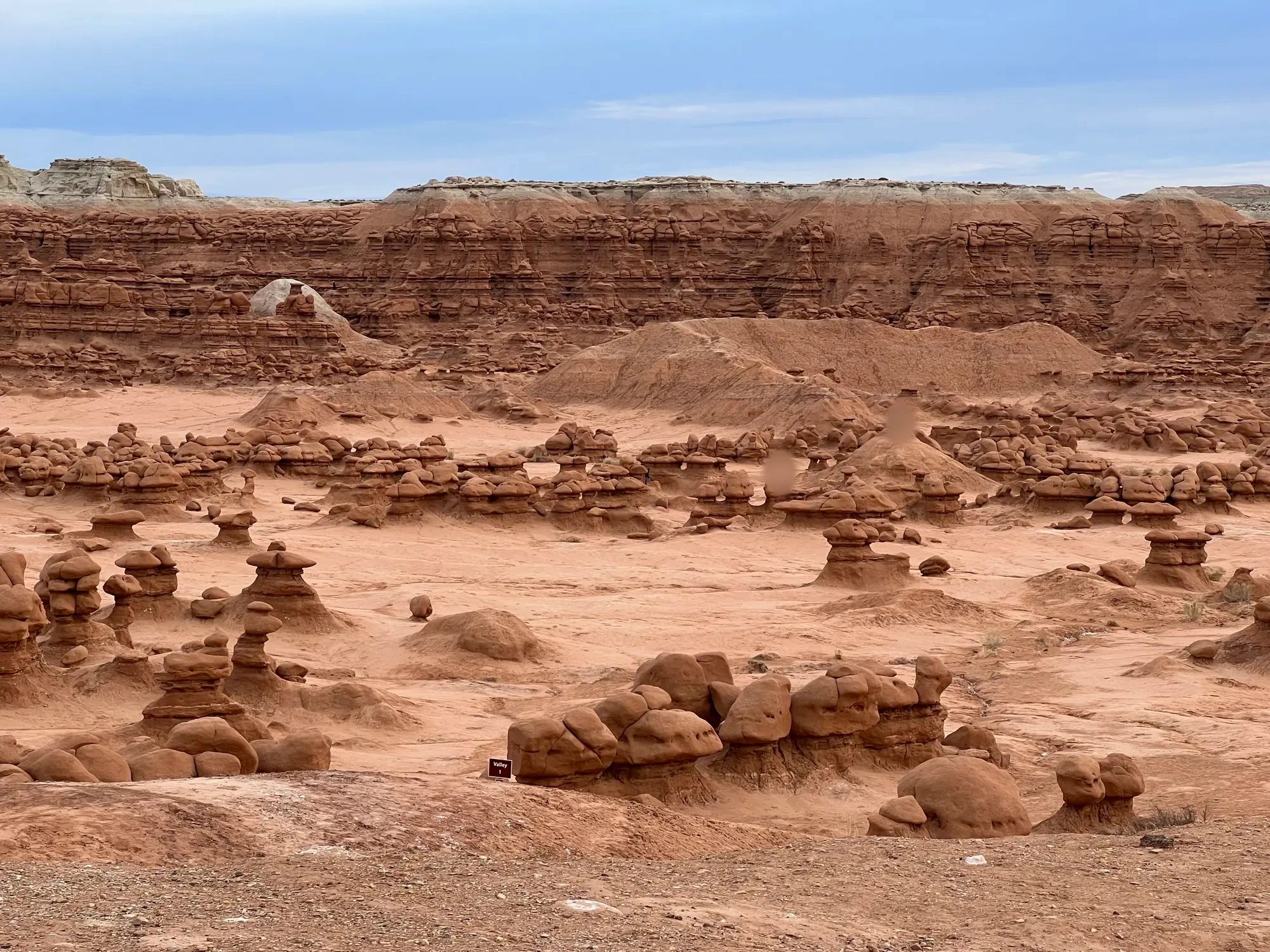
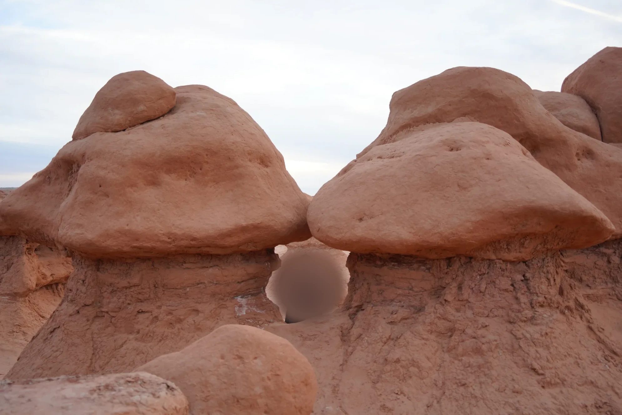
Our kid ran around among the rocks. The gap where two rocks met made a good little cave for our kid to go in and out of.
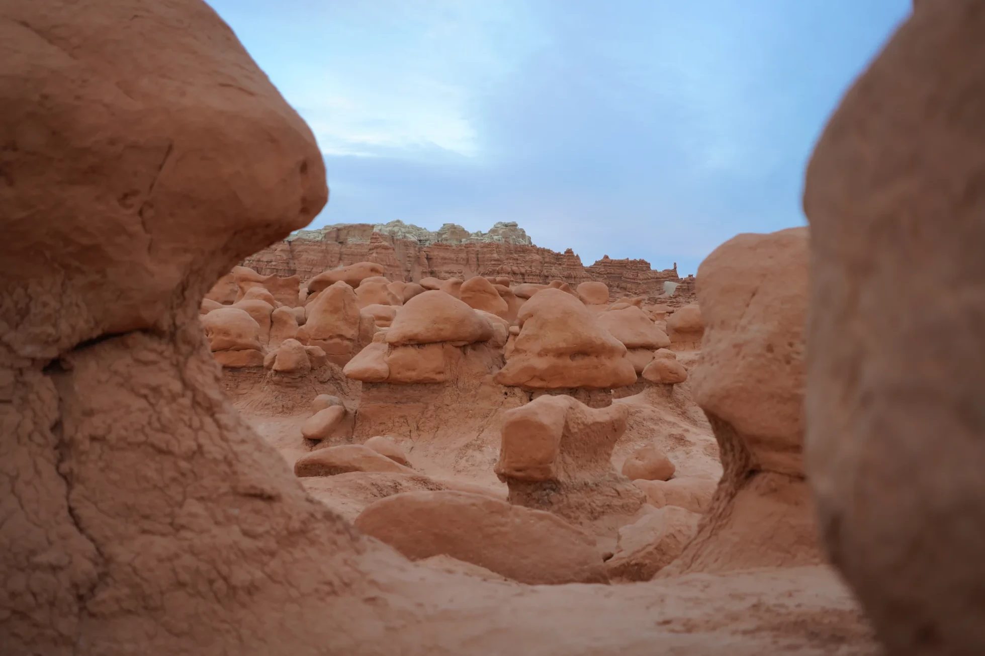
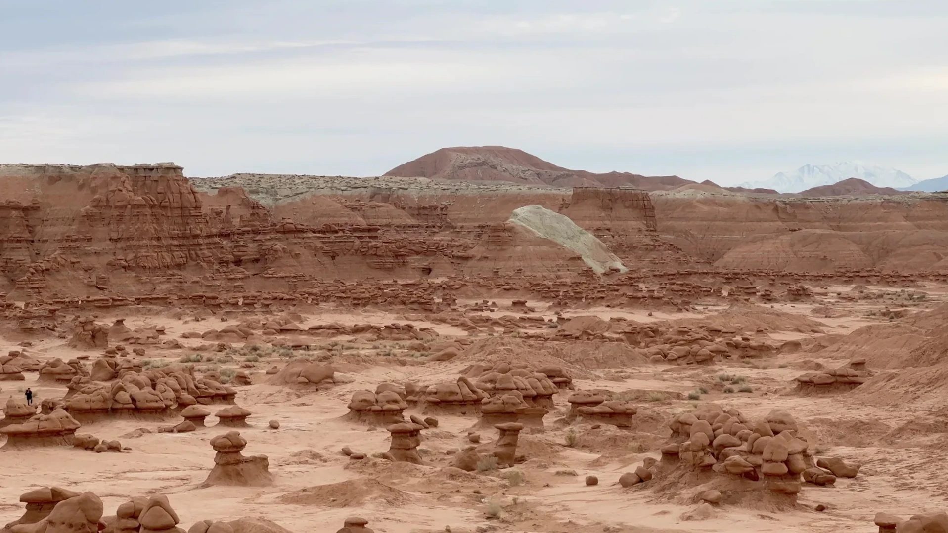
Layered red cliffs ring the edge of the valley, topped by a white band. As the sun dropped lower, the red of the cliffs and rocks deepened.
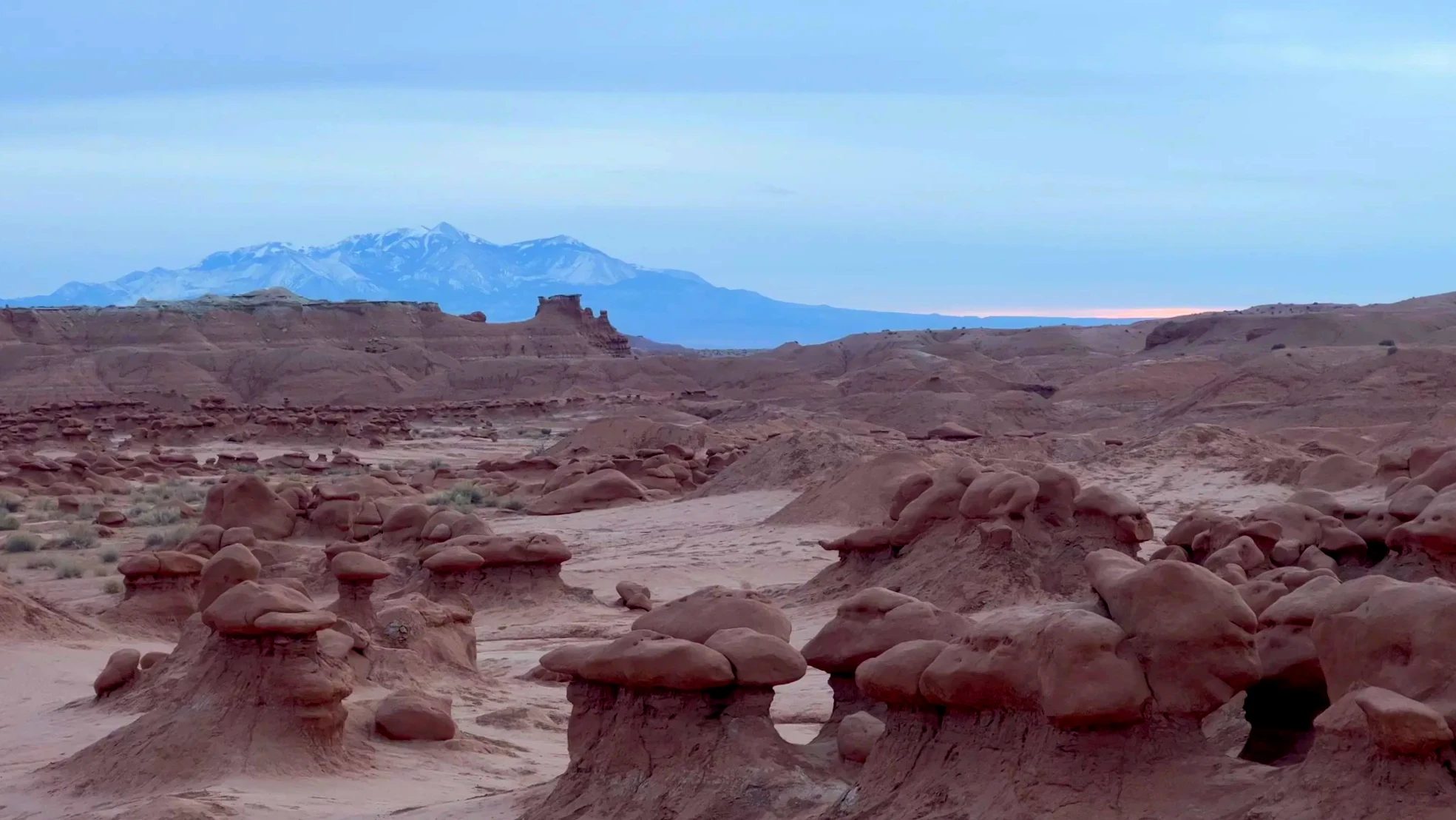
To the southwest we could see the snow-covered Henry Mountains. White peaks beyond a field of red rock: a different winter view from the La Sal Mountains we had seen at Arches that morning.
Don’t climb the hoodoos
You are free to walk the valley and touch the rocks, but Utah State Parks asks visitors not to climb the fragile hoodoos. They break easily, and the park also asks you to stay off the cryptobiotic soil and plants that cover the ground. In 2013 a group leader deliberately pushed over one of the hoodoos and received a criminal penalty. Walking the dirt mounds between the rocks and the flat sandstone was plenty of fun for us.
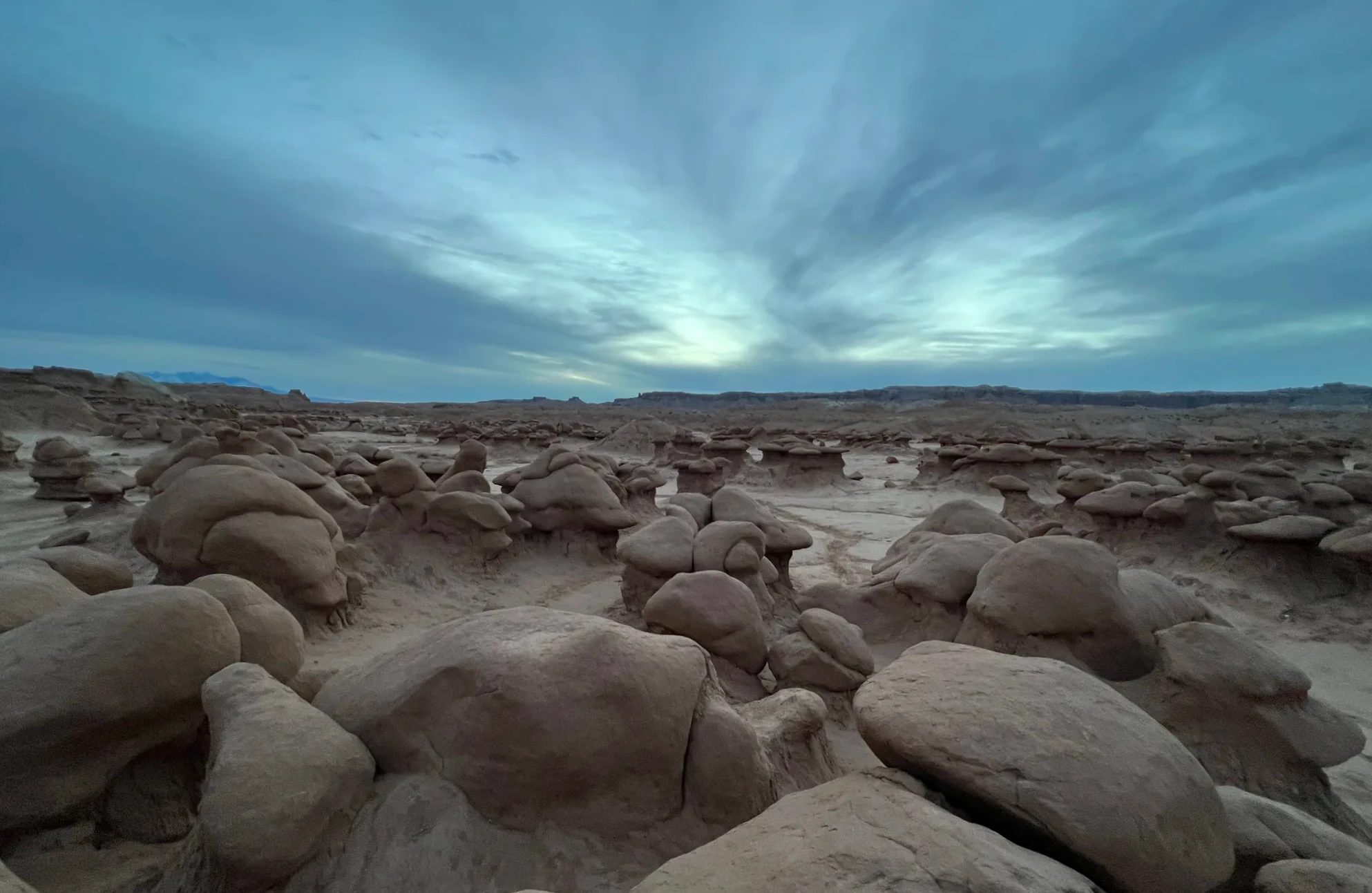
After 5 p.m. the sky turned blue. The mushroom-capped rocks stood out black against it.
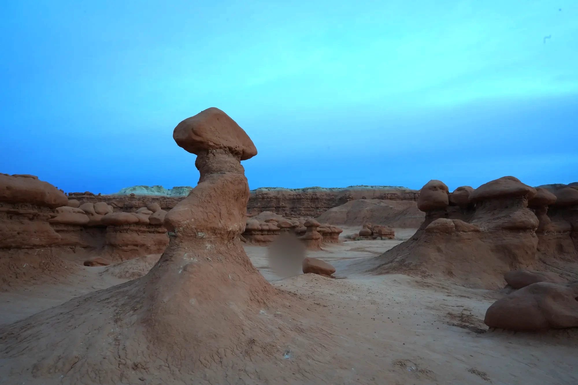
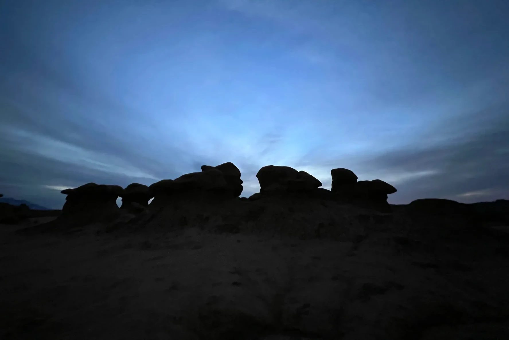
We didn’t make it back to the parking lot until about 5:45 p.m., when it was getting dark. Once the sun is down, you quickly lose sight of your footing on the walk out through the rocks, so it’s reassuring to have a flashlight such as a headlamp with you.
Fees and hours
| Item | Details (as of October 2026) |
|---|---|
| Entrance fee | $20 per vehicle (the same as we paid in 2021), valid until 10 p.m. the following day |
| Annual pass | It’s a state park, so the America the Beautiful national parks pass doesn’t work here |
| Park hours | Daily, 6 a.m.–10 p.m. |
| Visitor center | 9 a.m.–5 p.m. |
| Reservations | We drove in for the day without a reservation. Day passes are also sold online at parkspass.utah.gov |
Self-guided audio
Driving Goblin Valley on your own
For anyone going without a guide in a rental car, there’s a phone audio tour that narrates the way from Temple Mountain Road, just outside the entrance, to the Goblin Valley overlook.
Through Capitol Reef in the dark, a night in Torrey
From Goblin Valley we followed Highway 24 south to Hanksville, then turned west. That road runs straight through the middle of Capitol Reef National Park, but the sun had set and it was pitch black outside the windows. We reached the Broken Spur Inn & Steakhouse in Torrey around 7:25 p.m.
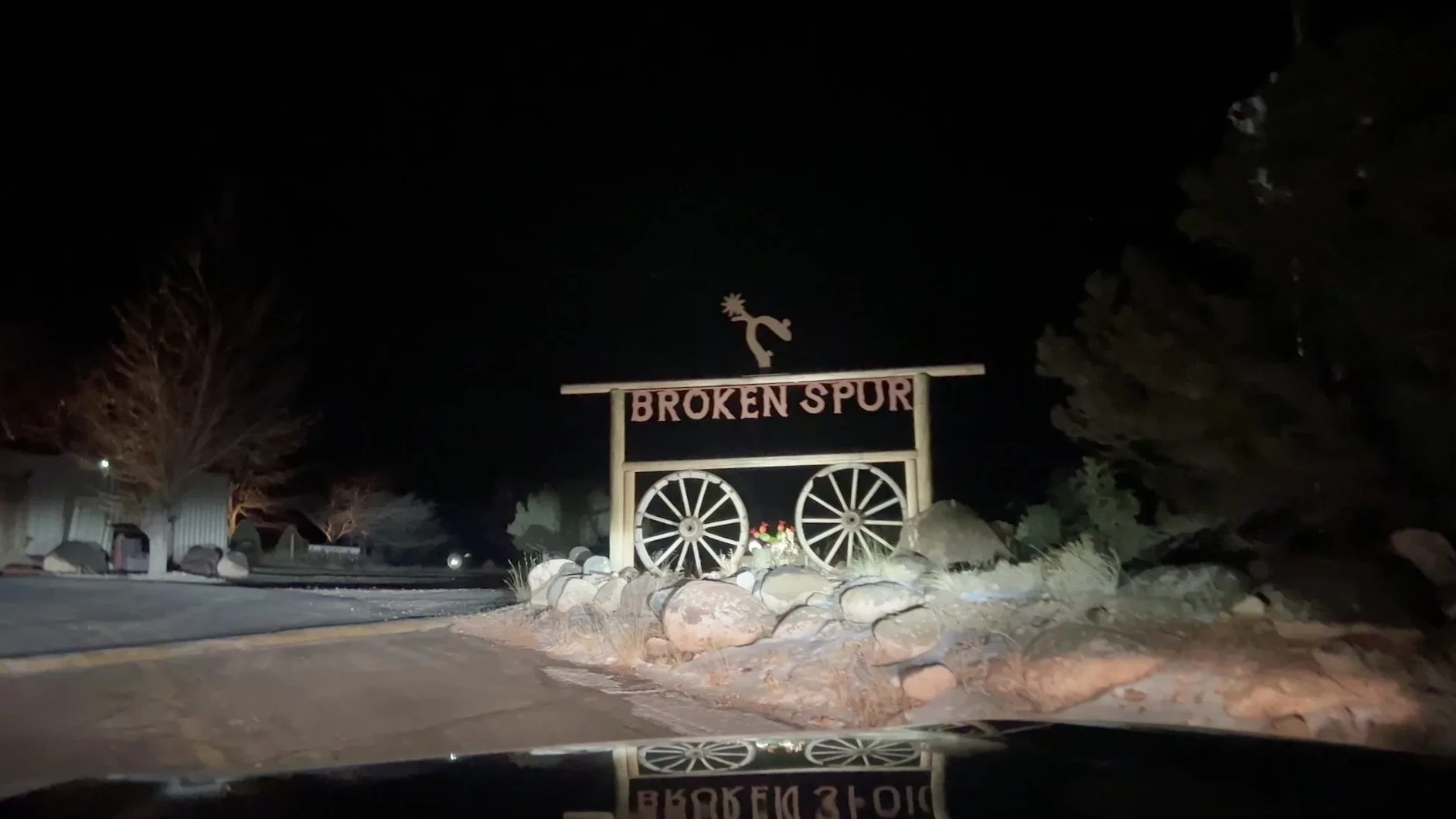
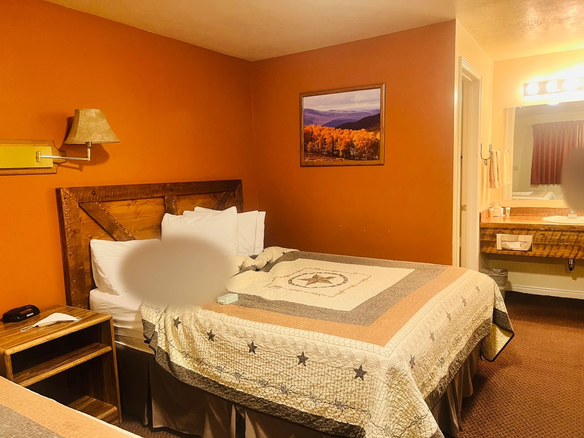
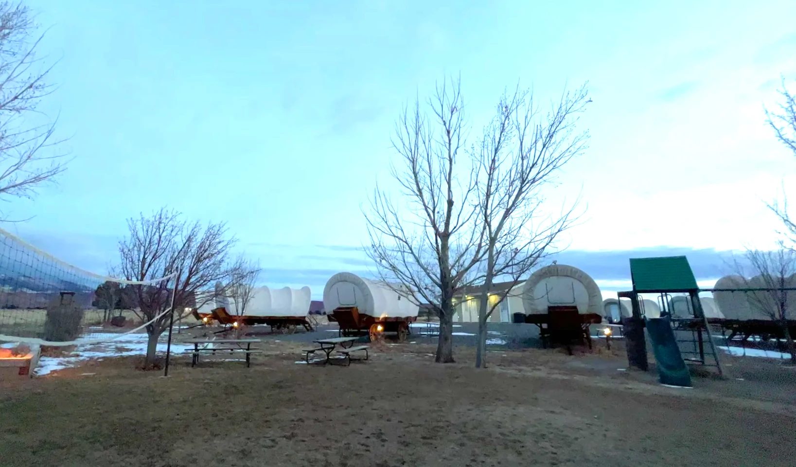
The yard was lined with lodging shaped like covered wagons from the pioneer days. We were intrigued that you could sleep inside a wagon, but we stayed in a regular room. It was fairly clean, and a very good place to rest for a night.
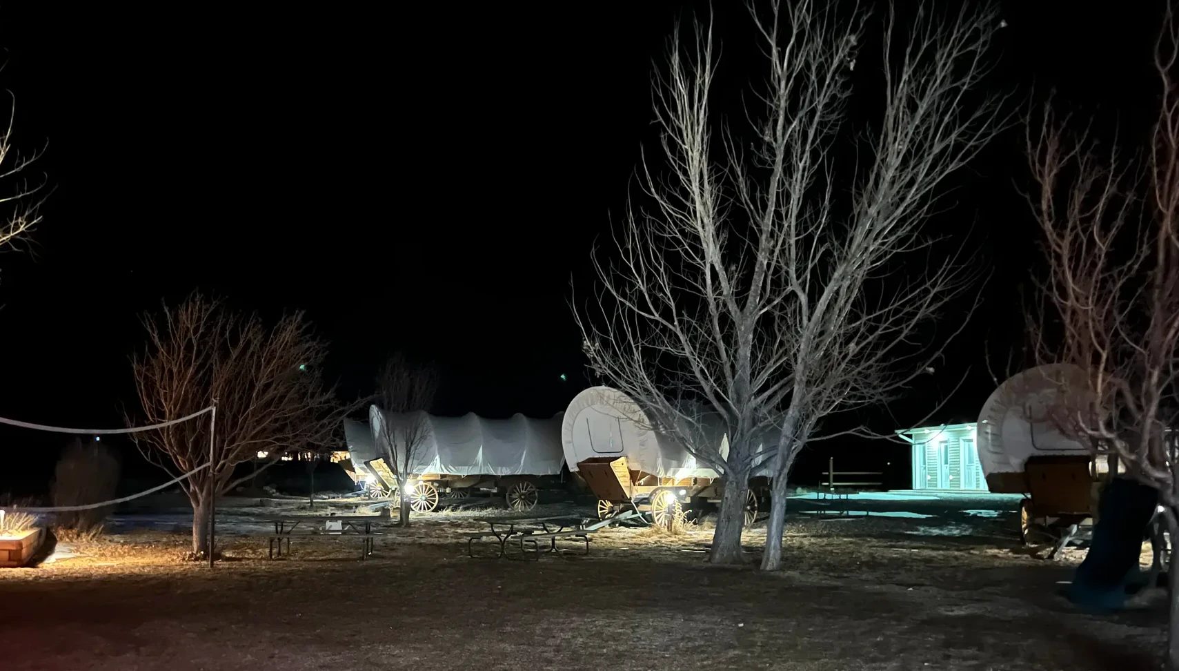
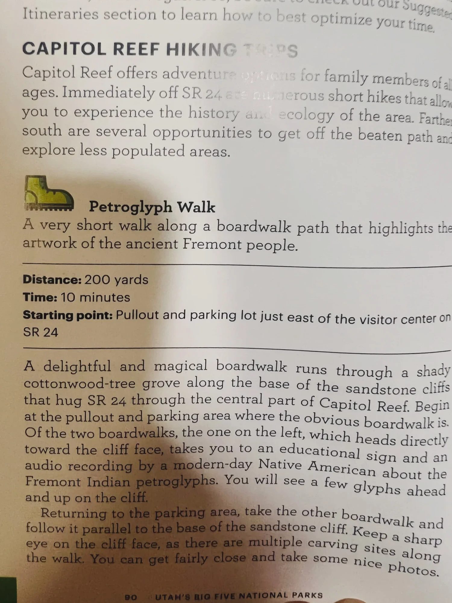
The room had a booklet with Capitol Reef hiking information. We used it to pick where to walk the next morning.
Where to stay
Places to stay in Torrey
Torrey is a little over 15 minutes’ drive from the Capitol Reef Visitor Center, and Highway 12 starts here, which makes it an easy base for heading down to Bryce Canyon the next day.
We’d come from the East, so the time difference had us awake early, around 7 a.m. We ate breakfast in the inn’s restaurant, and when we stopped at the front desk to check out, there were postcards, Utah national parks T-shirts and other souvenirs on display. Loading the car around 8:20 a.m., we finally saw what we’d missed in the dark: the covered wagons and the red cliffs around Torrey.
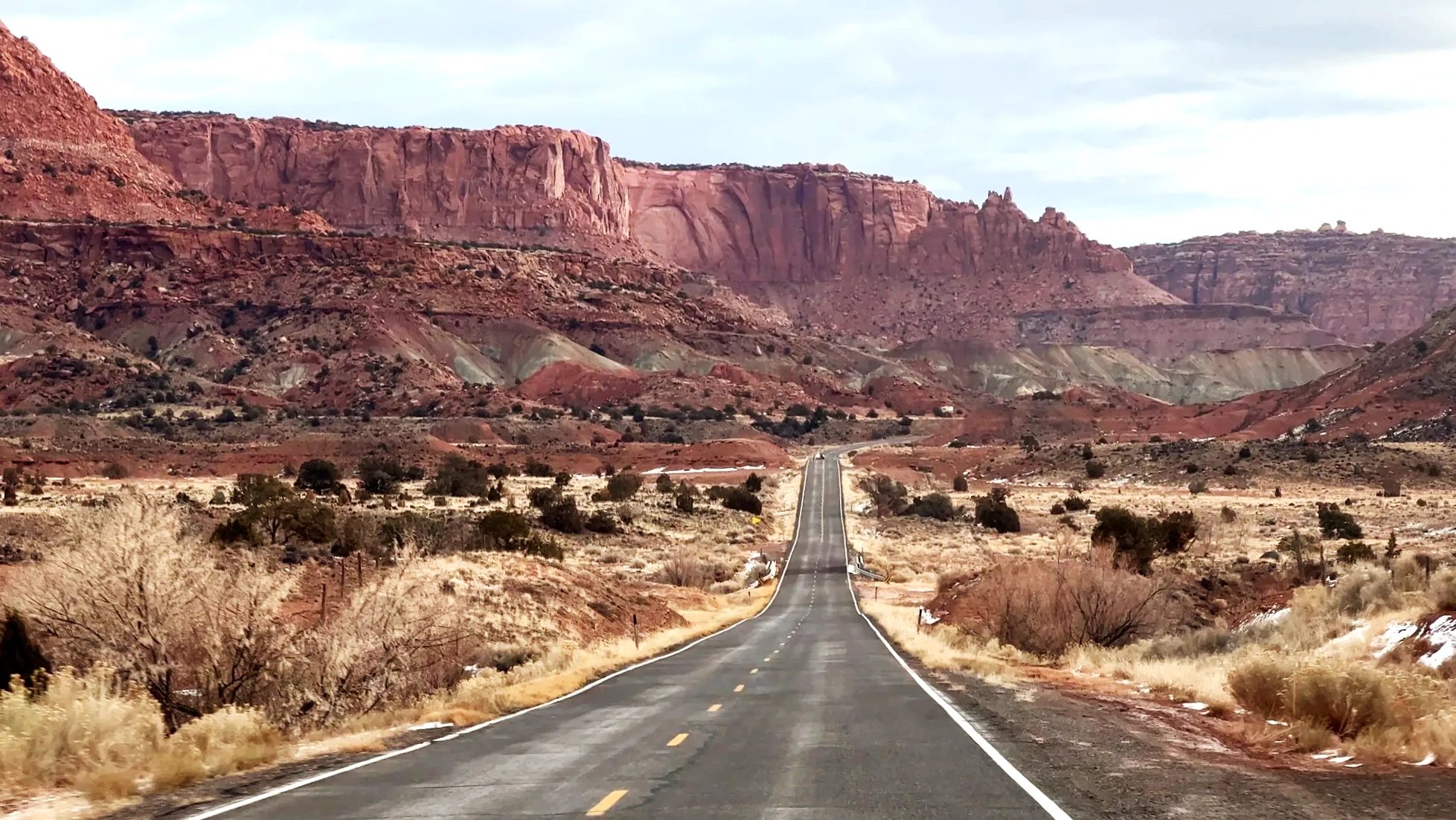
Highway 24 from Torrey to Capitol Reef is one of the most memorable roads of the whole trip. Red cliffs and white rock rise in layers on both sides, and even after days of similar rock scenery, it was beautiful. This is also where we got used to an unfamiliar name we kept seeing: the Waterpocket Fold.
What Capitol Reef National Park is
Capitol Reef National Park stretches north to south along the Waterpocket Fold, a place where the earth’s crust bent and rose to one side. The wrinkle in the rock runs for nearly 100 mi (160 km). This band of rock blocked early travelers the way a reef blocks ships, and one Navajo Sandstone summit, Capitol Dome, reminded people of the U.S. Capitol, which is how the park got its name.
In the middle of the park is Fruita, a former pioneer settlement. About 2,000 fruit trees, including apple, peach and apricot, still stand there. They bloom in spring, and fruit is picked from summer into fall. In December, when we visited, the bare trees were gray.
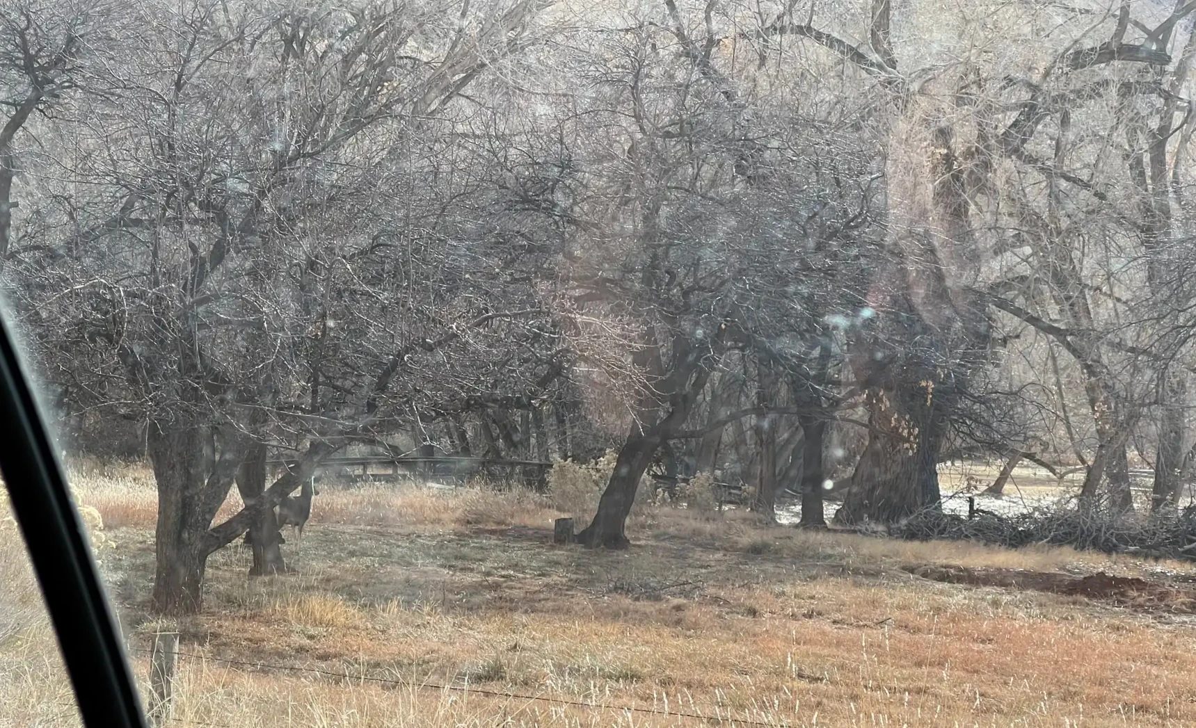
Petroglyphs from the boardwalk
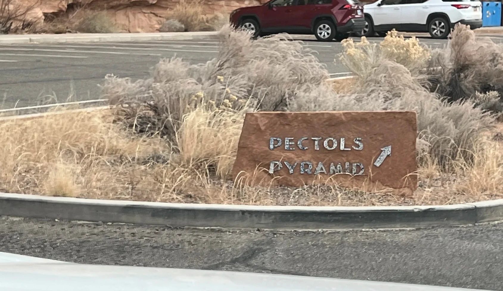
Around 8:40 a.m. we parked at the petroglyph lot, about 1 mi (1.7 km) east of the visitor center. A wooden boardwalk runs along the sandstone cliff, where people of the Fremont Culture, who lived here from about A.D. 600 to 1300, carved their images into the rock.
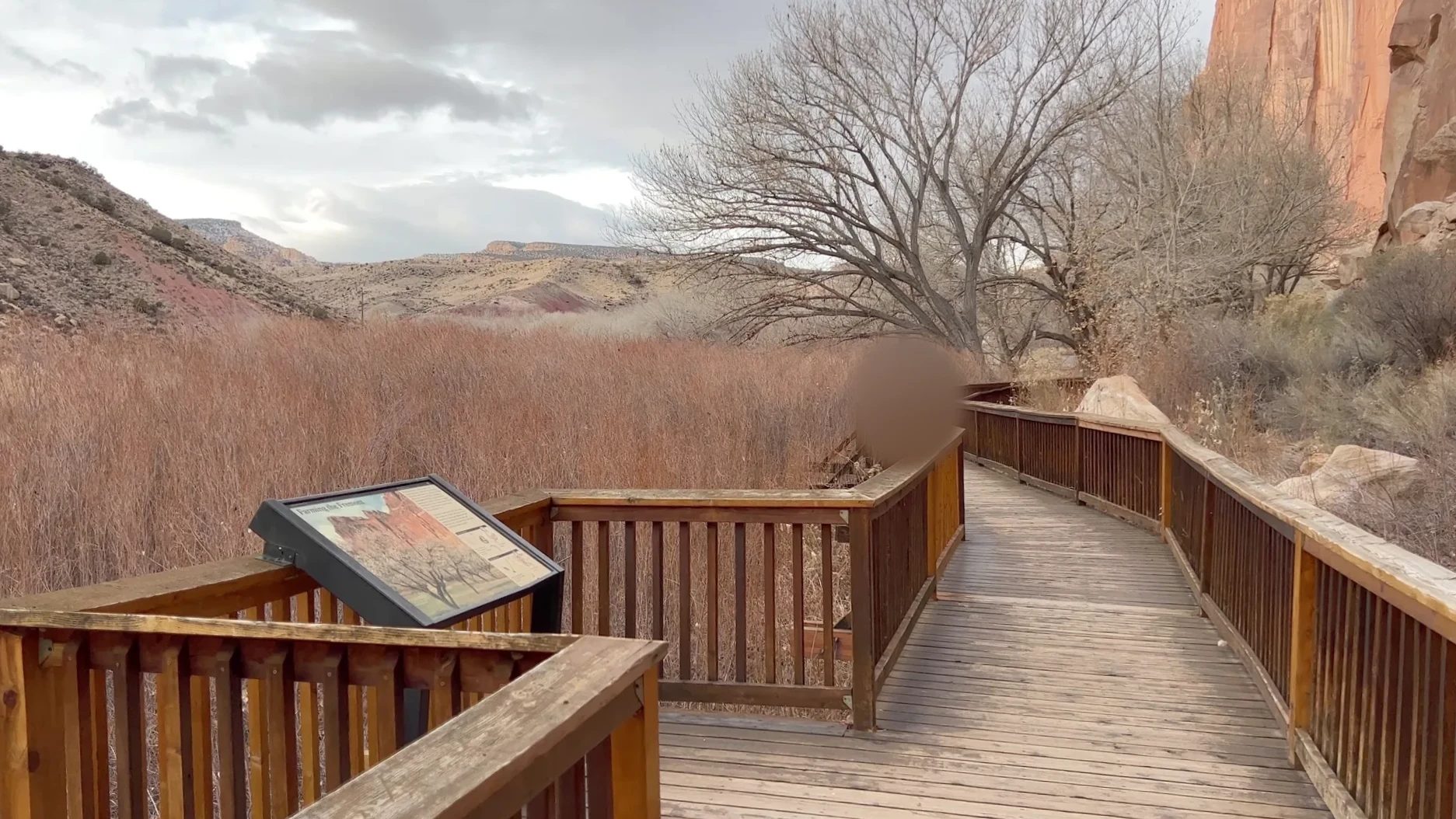
The cliff is carved with broad-shouldered human figures and bighorn sheep. Some of the figures look like they’re wearing horns or headdresses, and we pointed them out one by one, guessing at what they might mean. Our kid was fascinated too. We liked that you can see images people made 700 to 1,400 years ago this close up.
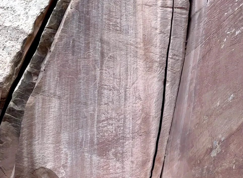
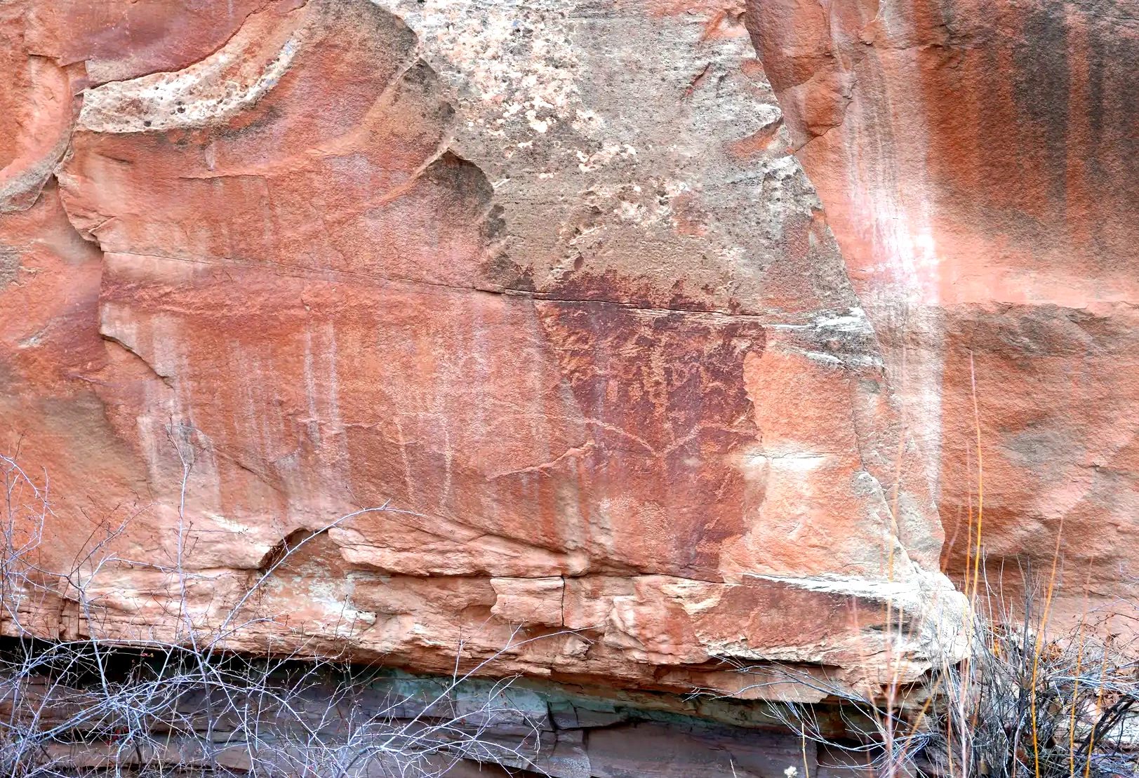
The boardwalk is short and flat, so it’s easy with kids. Some of the images are small or high up on the cliff, which makes finding them one by one part of the fun. If you want photos, a camera with a zoom helps.
The Fremont River and the Hickman Bridge Trail
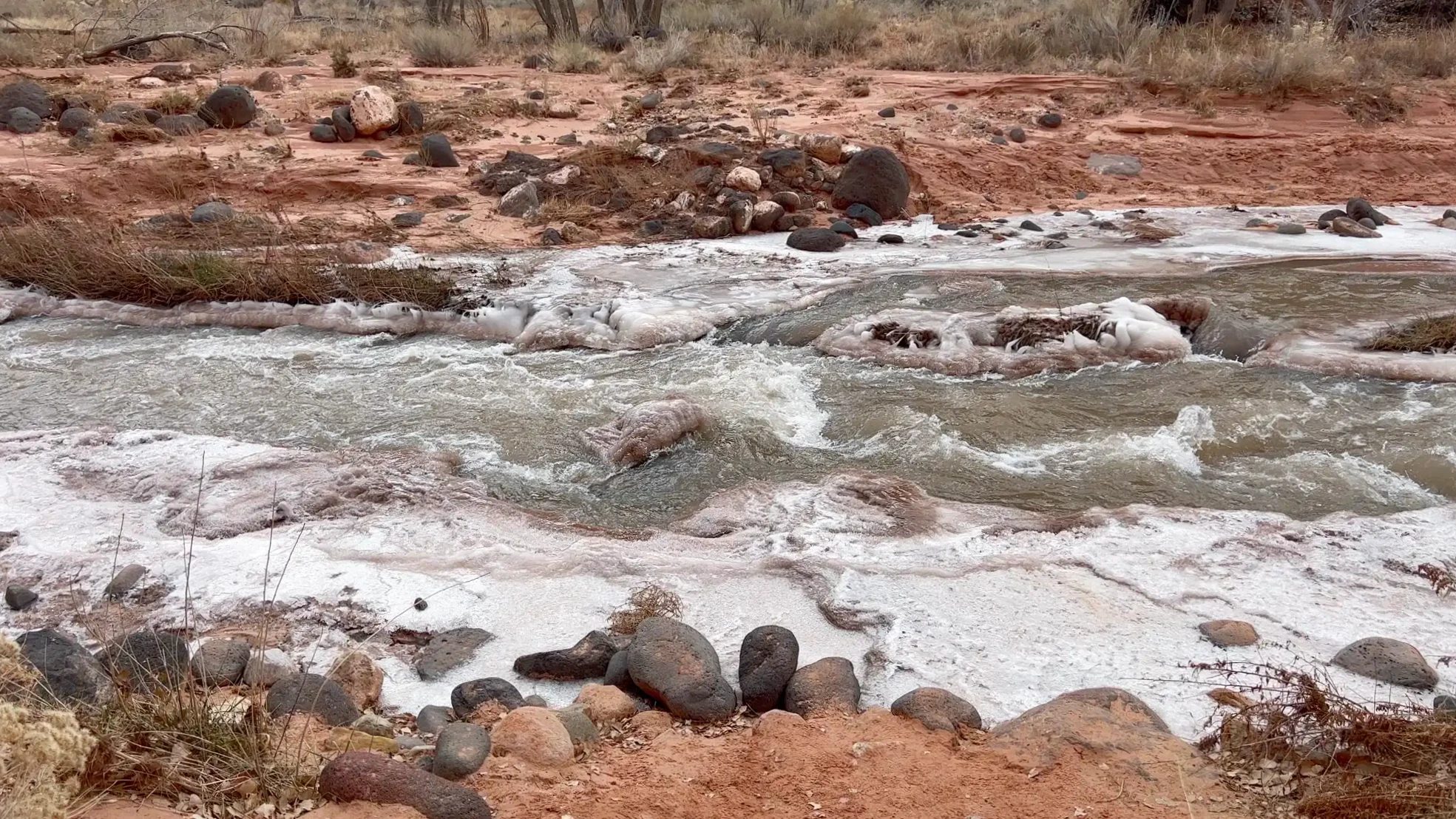
A little farther east of the petroglyphs is the start of the Hickman Bridge Trail, which also has views of Capitol Dome, the rock the park is named after. The Fremont River runs right beside the parking lot, and its edges were frozen solid.
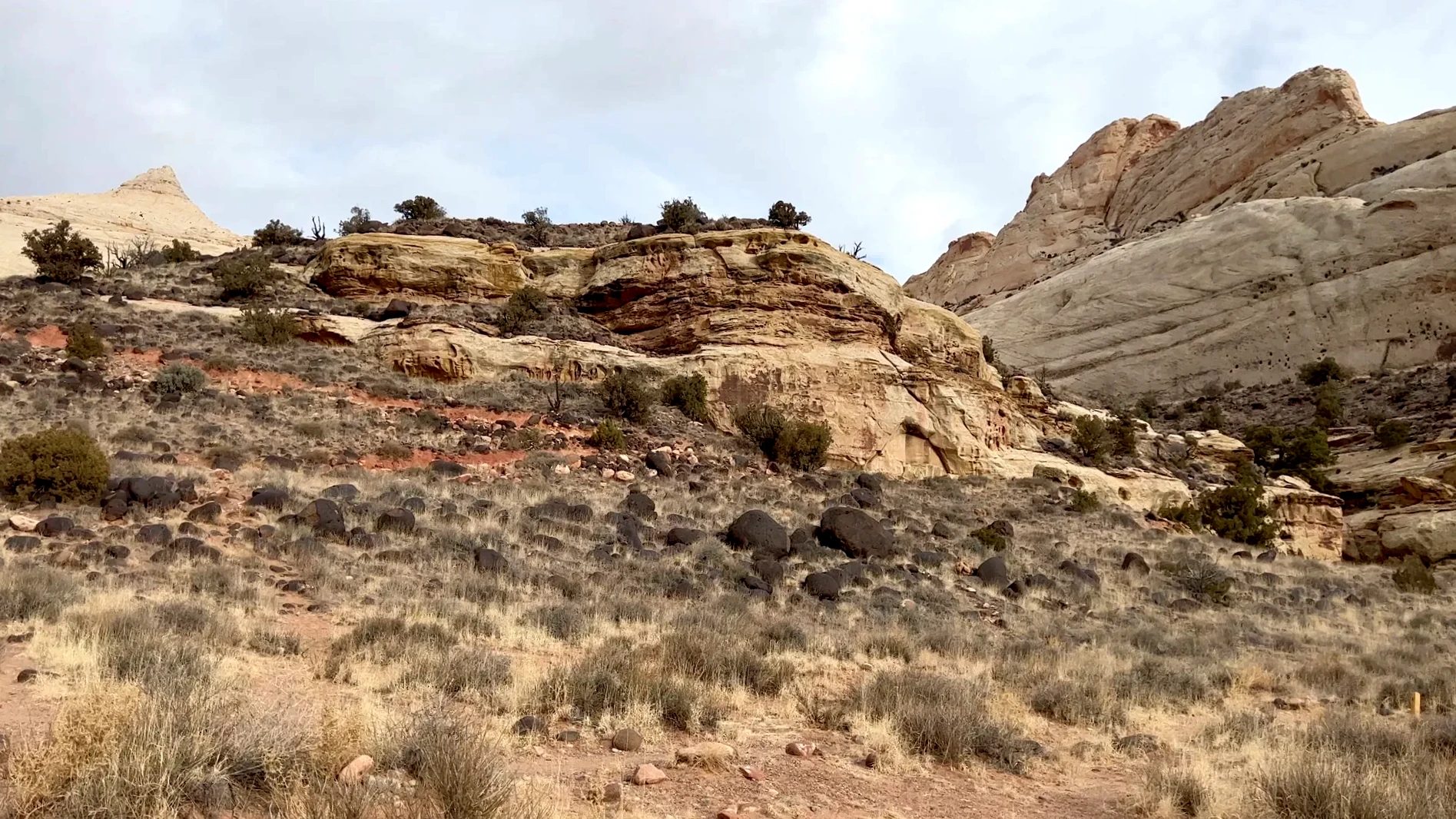
The trail leaves the river and starts climbing a rocky slope. The sign at the junction lists Hickman Bridge along with the Rim Overlook and Navajo Knobs. At the top of the climb, you look down into a valley ringed by white sandstone domes.
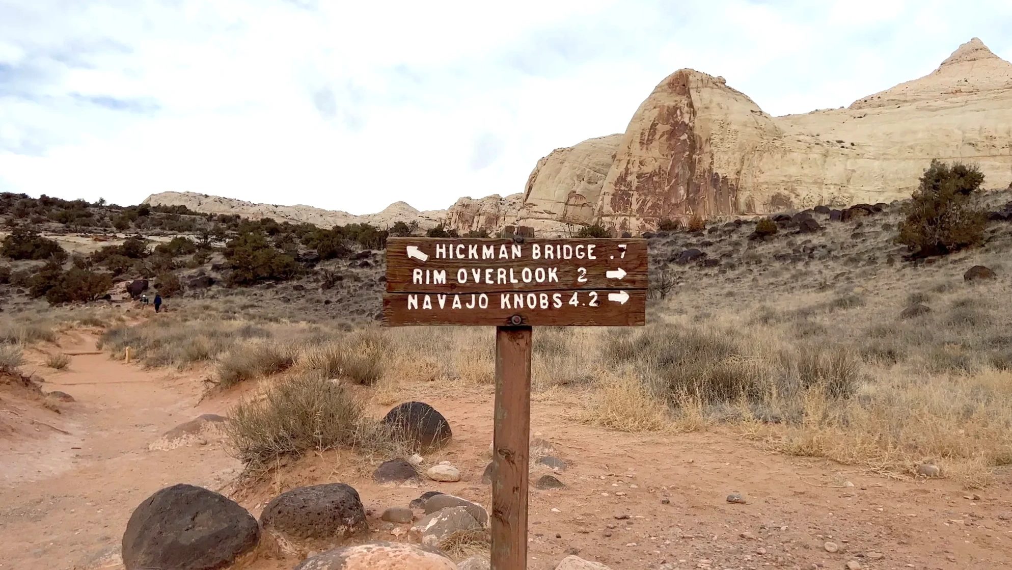
Capitol Dome is easy to see from this trail. The name Capitol Reef took hold after Ephraim Pectol and Roger Toll used it for this area in 1935. The dome is a rounded white rock that looks like the dome of the U.S. Capitol, but up close it isn’t a single dome. It’s several sandstone fins pressed together. The rock is Navajo Sandstone, sand dunes that hardened about 180 million years ago. The area around the Hickman Bridge trailhead is considered the best spot to see it, and from Highway 24 you see it when driving east.
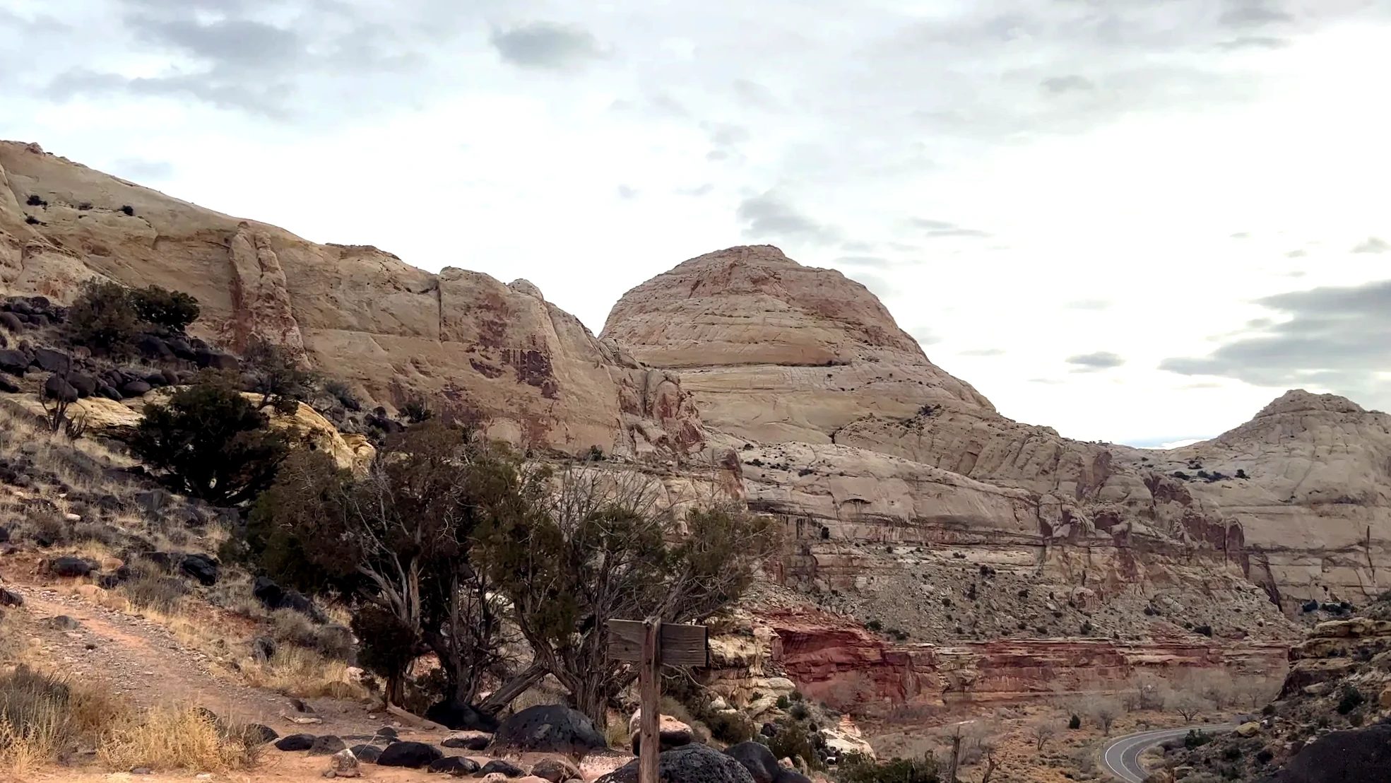
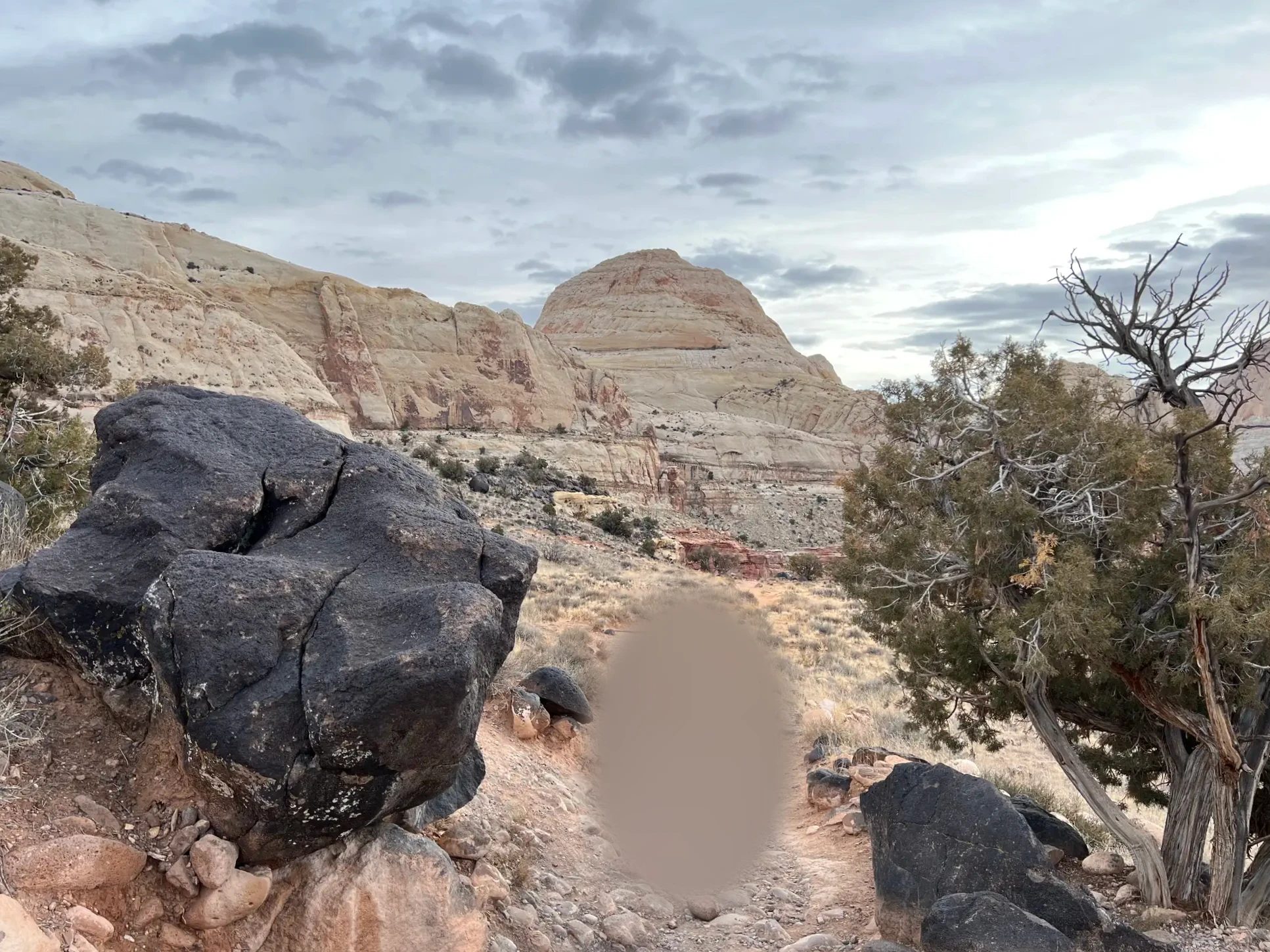
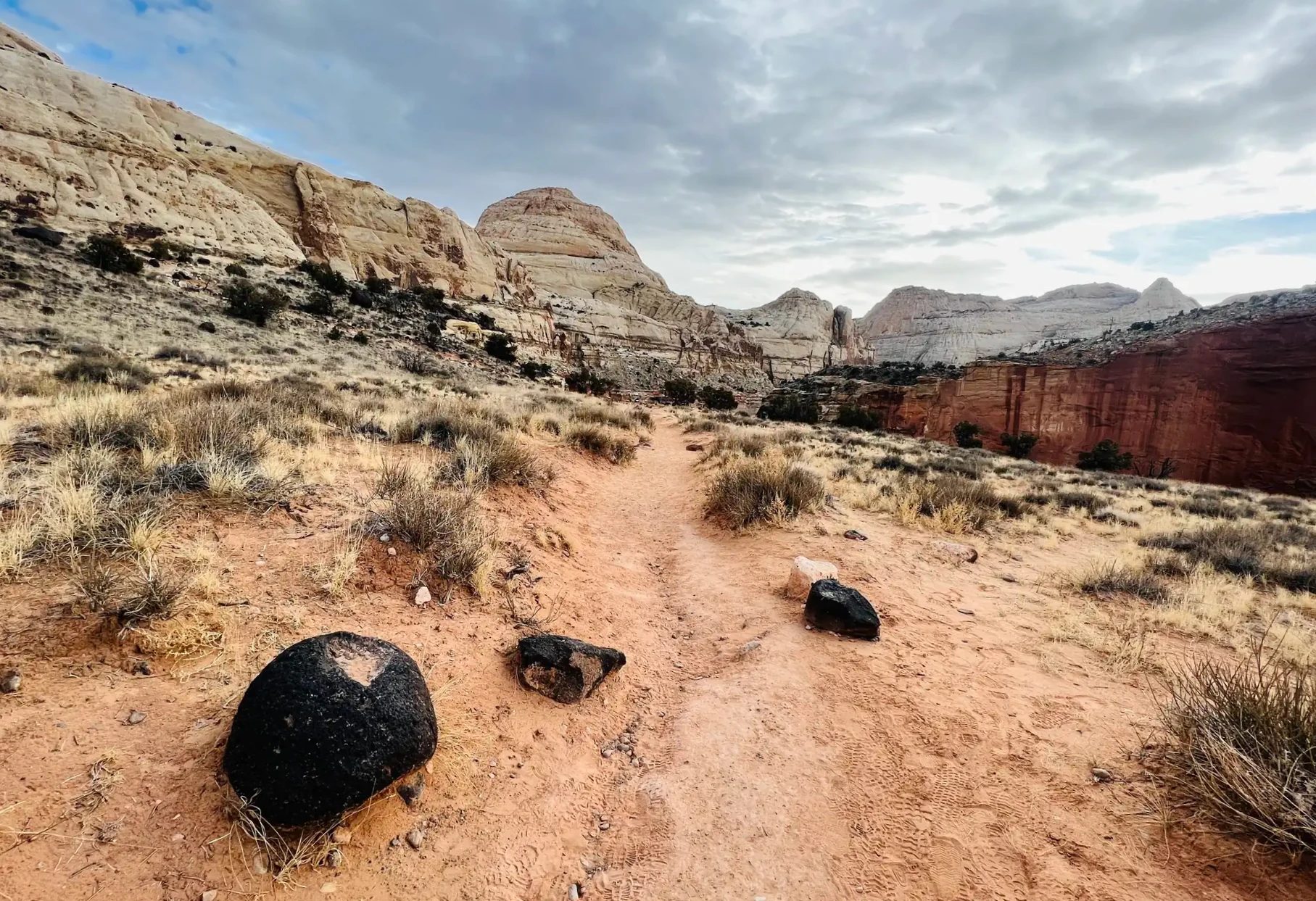
Black boulders were scattered along the trail. Among the red and white rock, the black stones looked especially foreign. They reminded me of the rocks in Frozen where they go to meet the trolls.
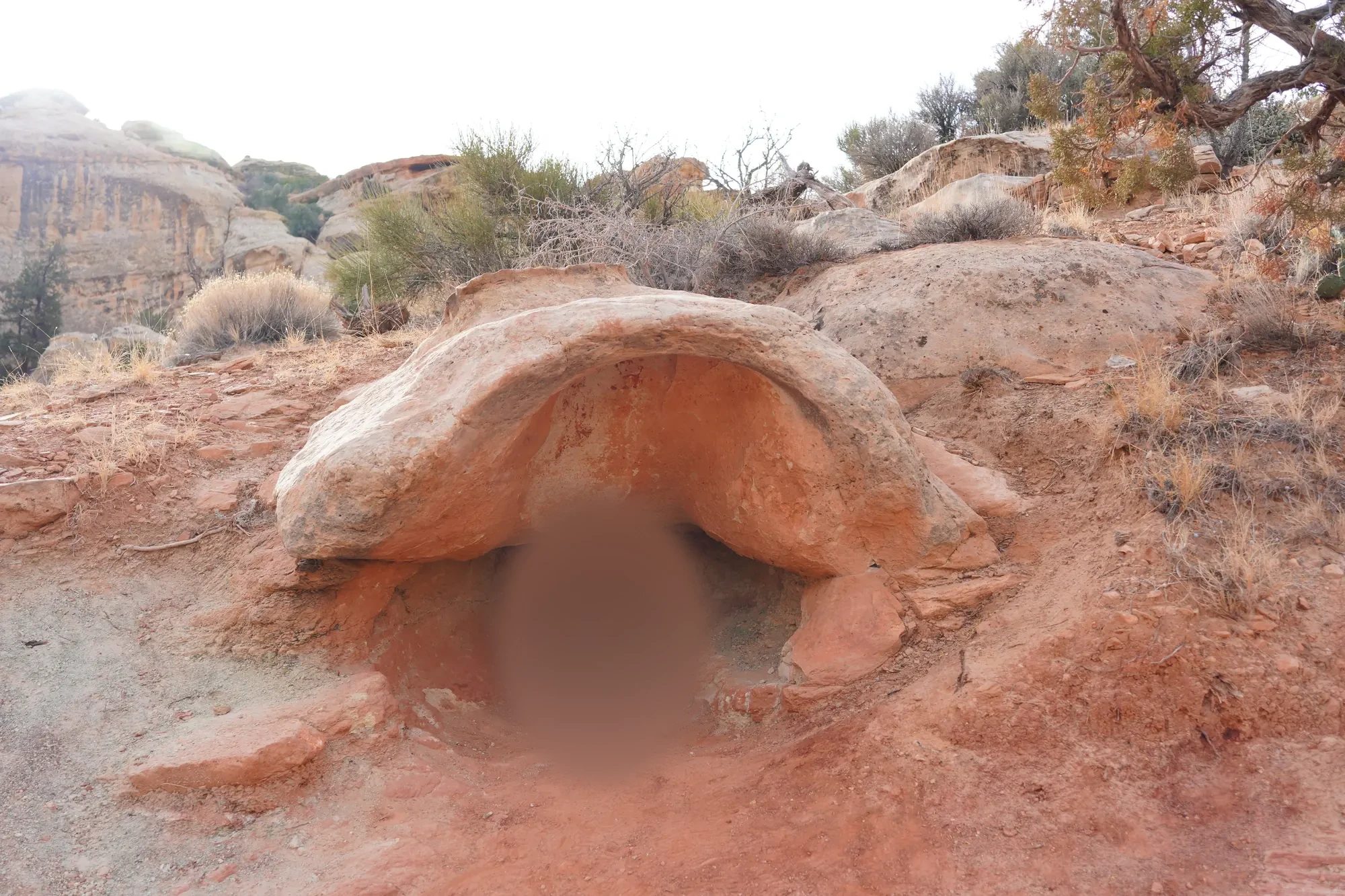
Along the way you keep passing hollows in the rock just big enough for a person. We stepped into each one for photos. Whenever our kid spotted a hollow under a rock, they got there first and sat down.
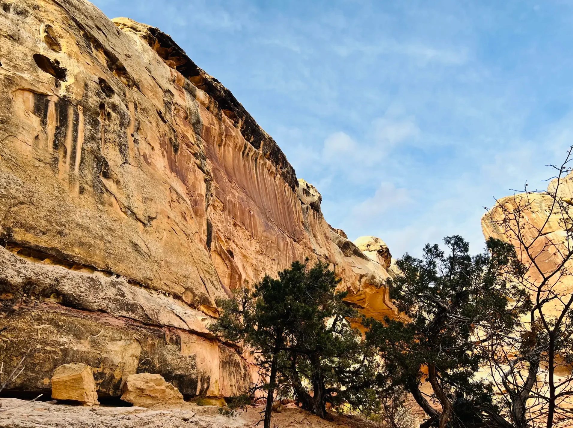
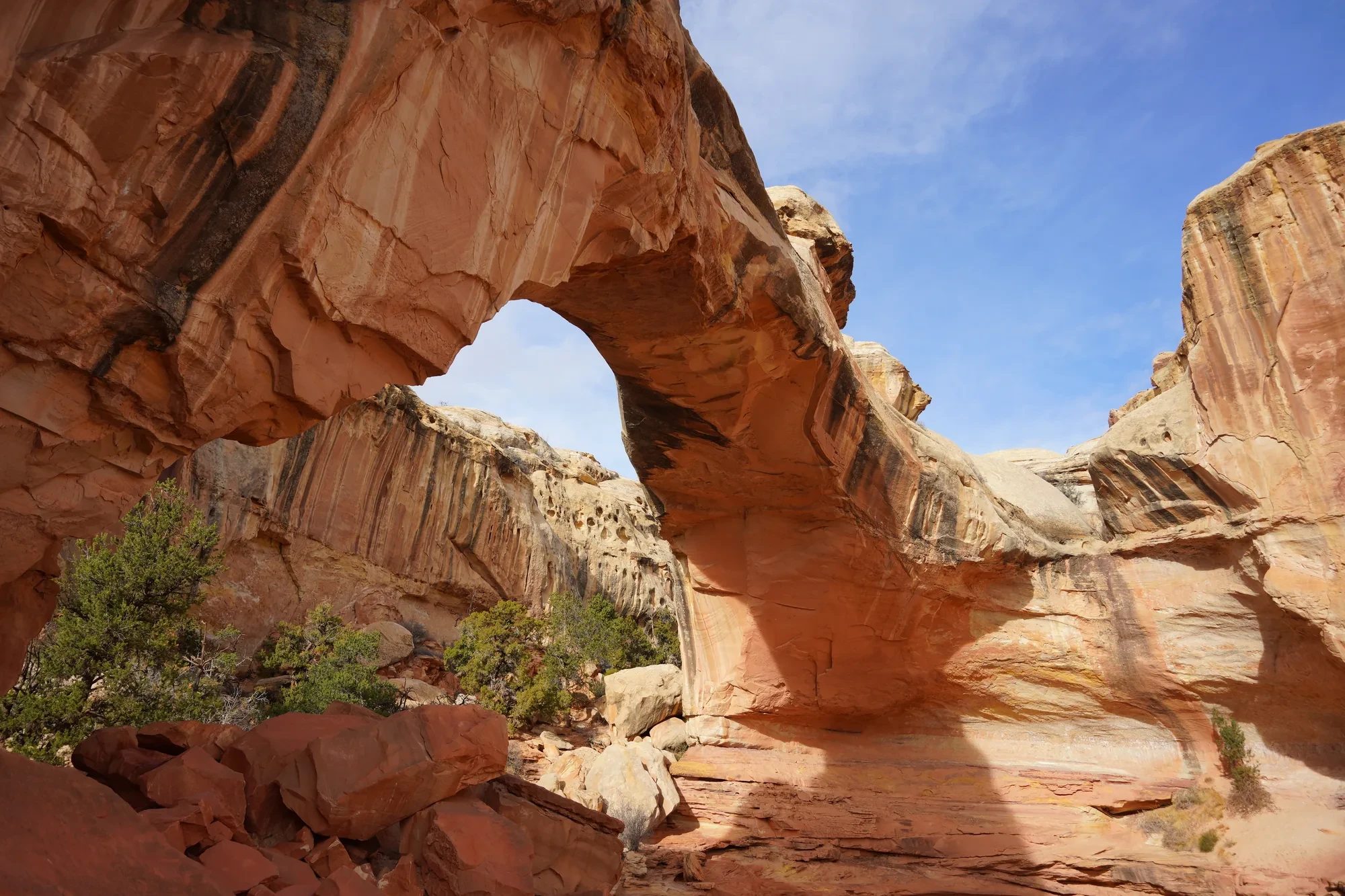
Around 10:20 a.m. we stood under Hickman Bridge, a natural bridge of rock spanning about 133 ft (40 m). The trail passes beneath it and loops back around. Looking up from underneath, we saw a round opening of blue sky between the rock.
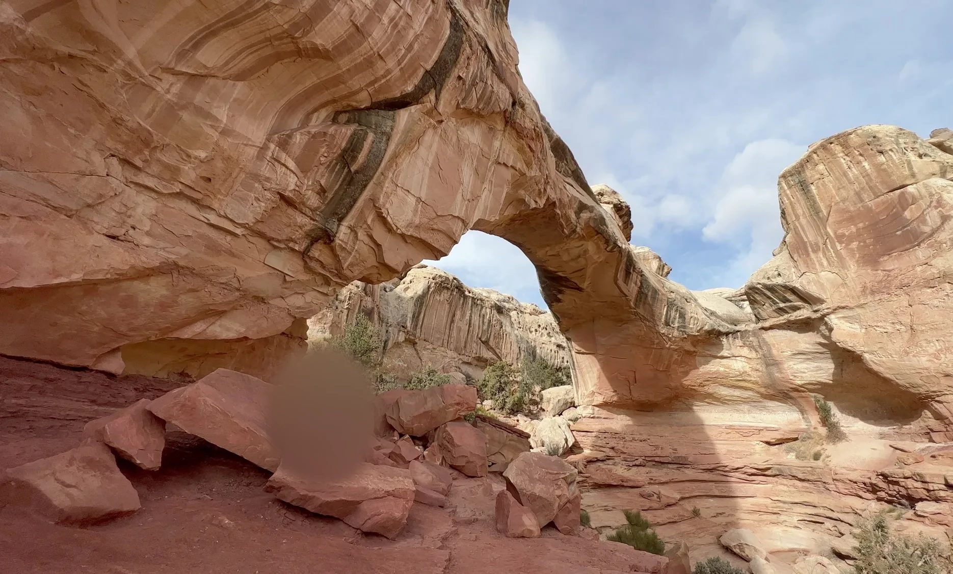
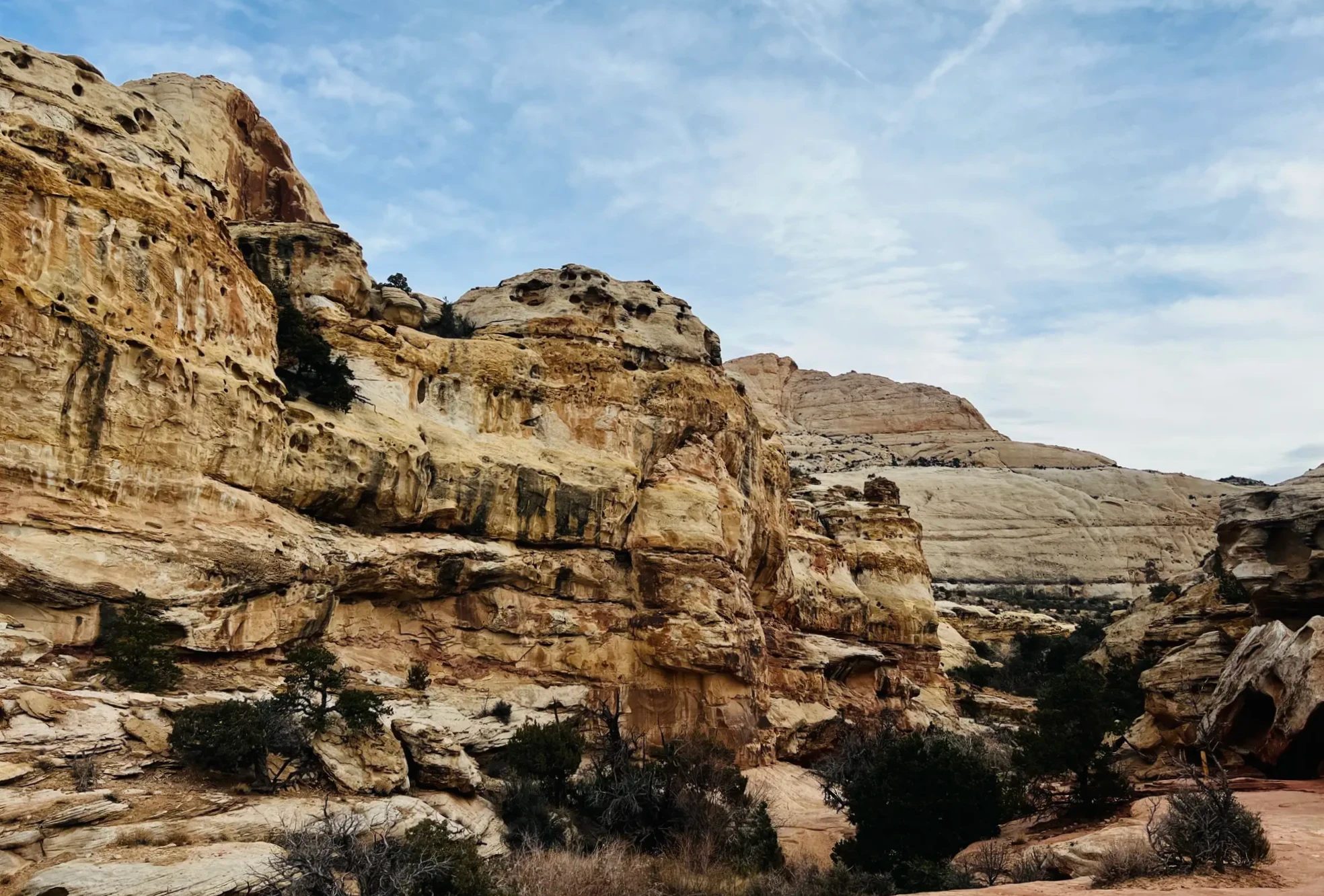
After the loop under the bridge, we headed back the way we came. The valley stayed in view on the way down, and we were back at the parking lot around 11 a.m. Taking our time and stopping for photos with our kid, the hike took about two hours.
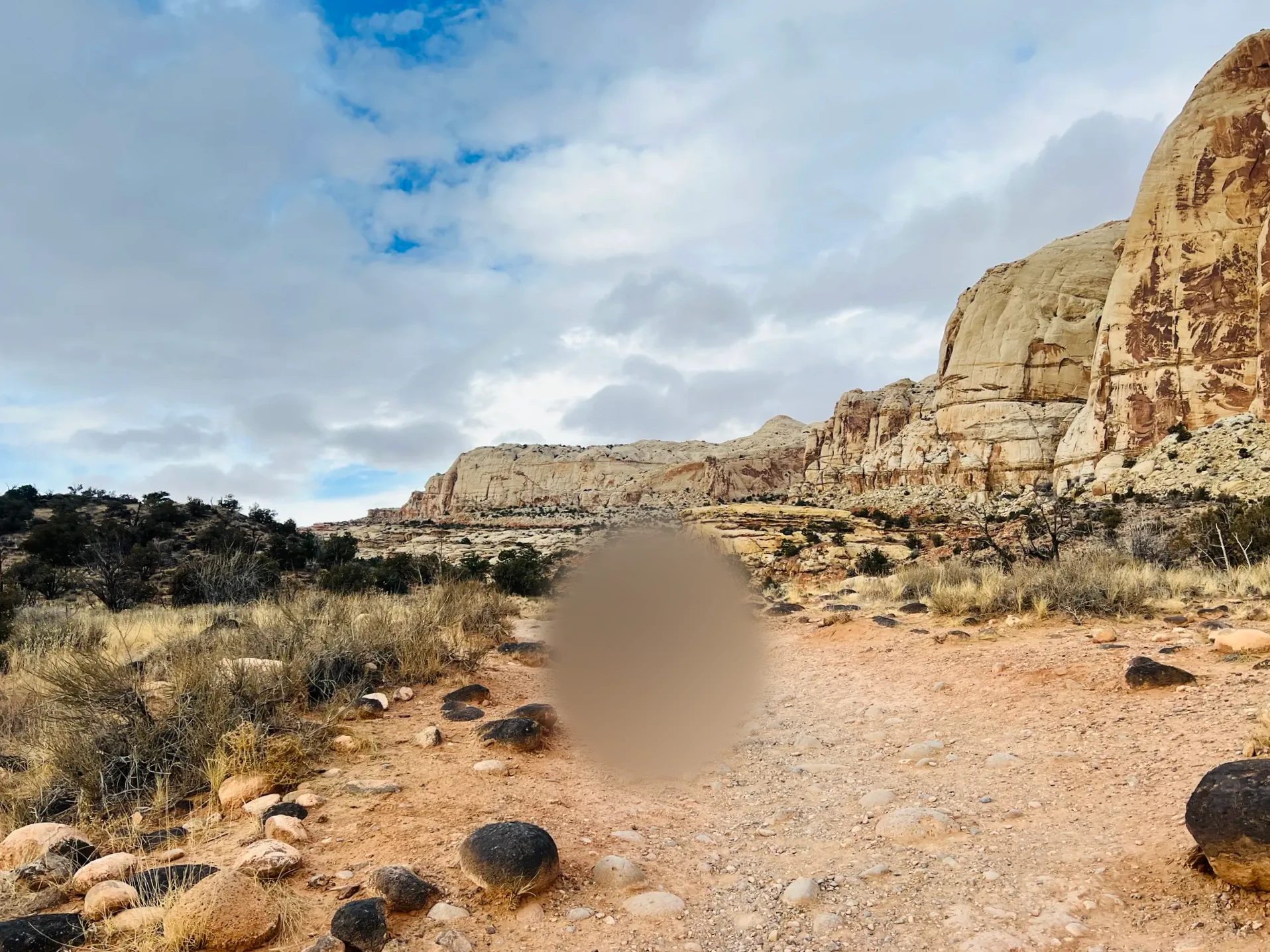
Beyond the Fruita area where we hiked, there’s also a Capitol Reef 4×4 tour that picks you up at your lodging and goes to the Temples of the Sun and Moon in Cathedral Valley, in the north of the park.
More of Capitol Reef
If you want to see more of Capitol Reef
If you only see what’s along Highway 24, as we did, you see just part of the park. With more time, you can drive it with narration.
Hickman Bridge Trail
| Item | Details |
|---|---|
| Distance | 1.8 mi (2.9 km) round trip (0.9 mi / 1.4 km each way) |
| Elevation gain | 400 ft (122 m) |
| Difficulty | Moderate, per the National Park Service |
| Our time | Two hours with our kid |
| Trailhead | Hickman Bridge parking lot on Highway 24, about 2 mi (3 km) east of the visitor center |
Souvenirs at the visitor center
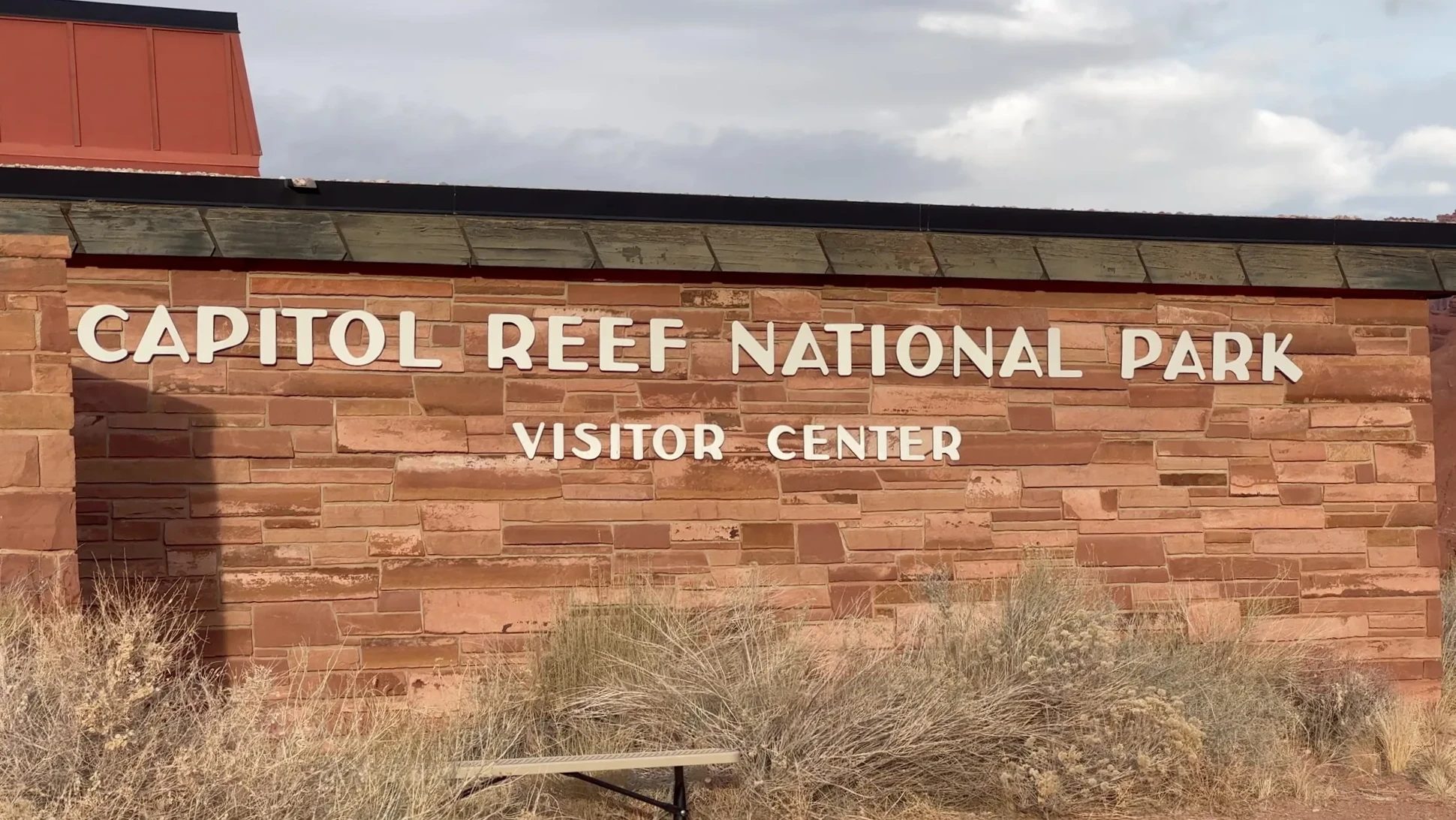
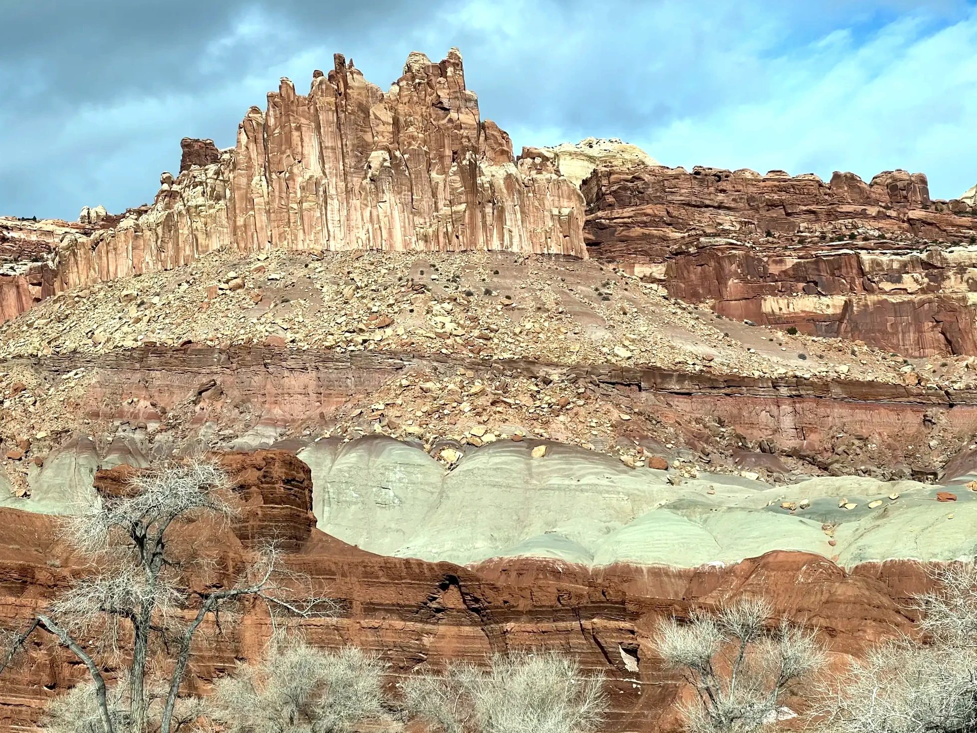
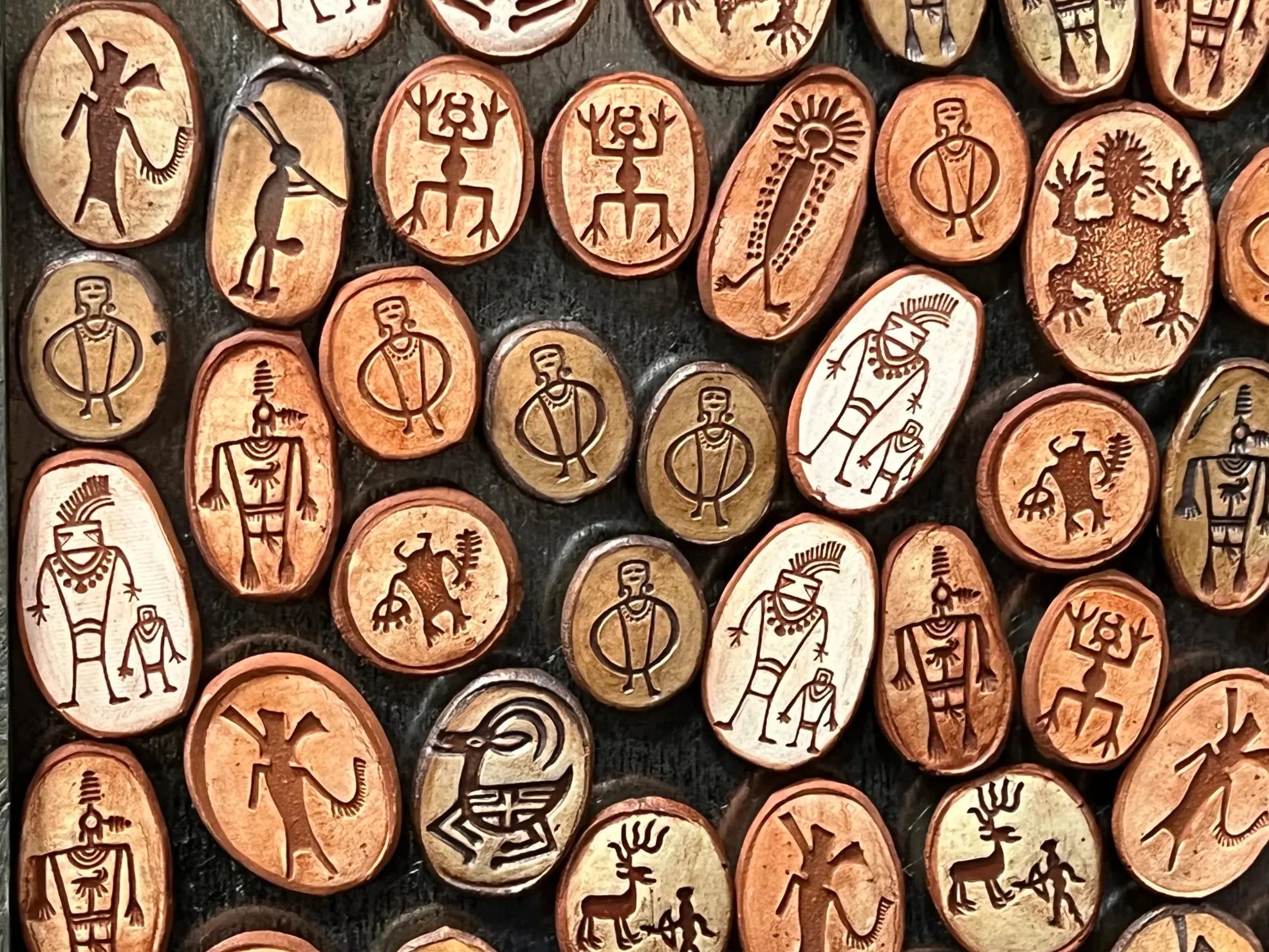
After the hike, we stopped at the visitor center around 11:20 a.m. From the front of the building you can see red rock rising like a castle. Inside were panels illustrating the rock layers, plus plenty of books and souvenirs. Wooden souvenirs carved with petroglyph designs and park water bottles caught our eye, and our kid unfolded a park map and studied it.
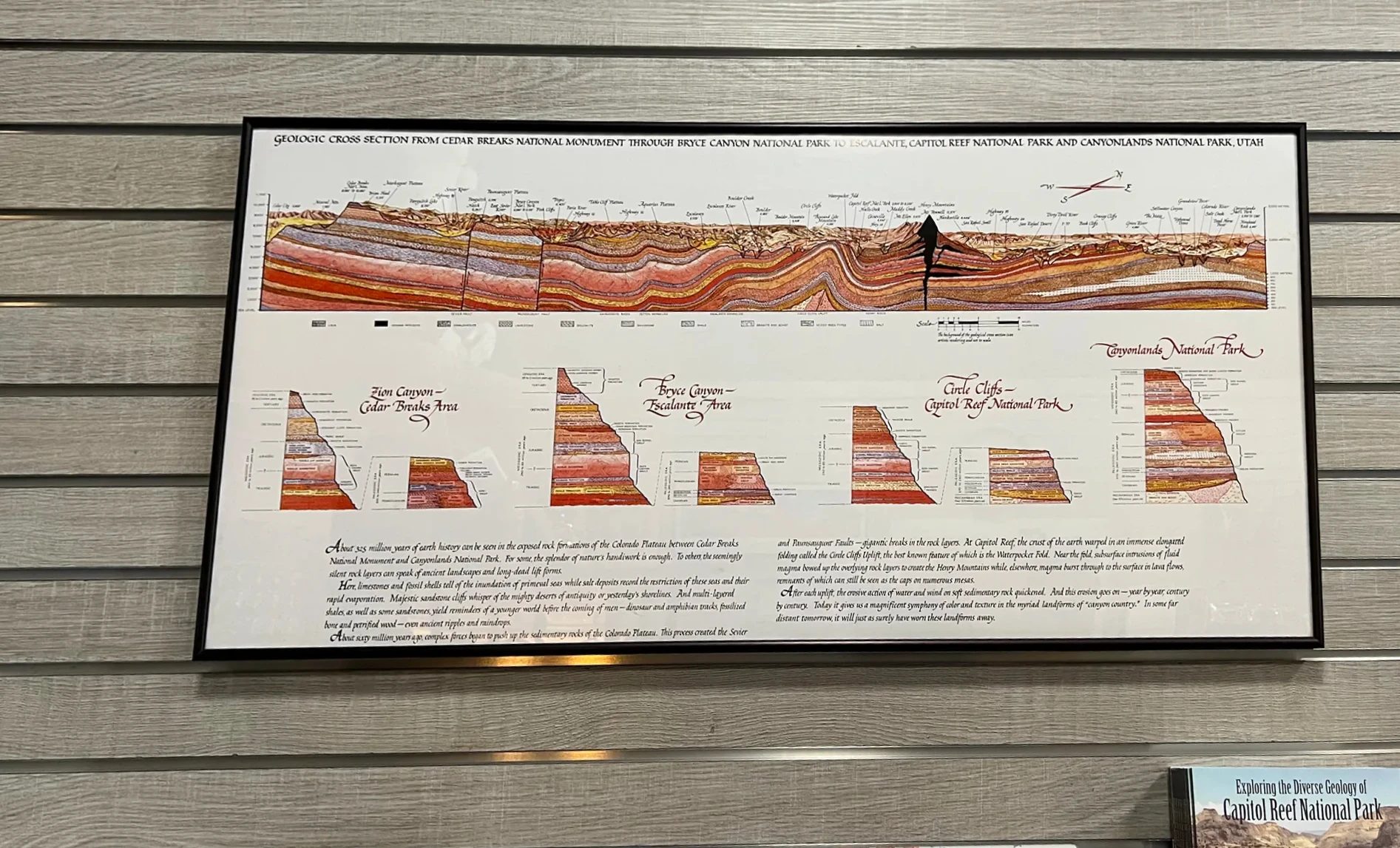
Capitol Reef entrance fees
| Item | Details |
|---|---|
| Trails along Highway 24 | Spots you walk to straight from Highway 24, like the petroglyphs and Hickman Bridge, have no entrance fee. We didn’t pay anything |
| Scenic Drive | Past Fruita Campground, the Scenic Drive requires a pass: $20 per vehicle (as of 2026) |
| Park annual pass | $35 for one year, Capitol Reef only |
| National parks annual pass | Valid at all the Grand Circle national parks, including the Scenic Drive |
| Visitor center | Open daily; hours vary by season. Closed on some winter holidays |
Utah Highway 12 over Boulder Mountain
We drove back to Torrey for gas and got on Utah Highway 12 around noon. Its full name is All-American Road Scenic Byway 12, and because the land it crosses shows hundreds of millions of years of rock layers, it’s also called A Journey Through Time Scenic Byway. It starts at the Highway 24 junction just east of Torrey and runs 122.9 mi (198 km) to US 89 near Panguitch, west of Bryce Canyon. In 2002 it was designated an All-American Road, the highest rank for scenic roads in the U.S.
Three routes from Capitol Reef to Bryce Canyon
There are three ways to get from Capitol Reef to Bryce Canyon. If you look up the route between the two visitor centers on Google Maps, Highway 12 isn’t the fastest. Taking Highway 24 west and then dropping down Johns Valley Road (Highway 22) is about 30 minutes quicker. We still wanted to drive the scenic stretch of Highway 12, so we picked it knowing it was a bit longer.
| Route | Distance | Drive time |
|---|---|---|
| Highway 24, Johns Valley Road (Hwy 22) Fastest | 119 mi (192 km) | 2 hr 24 min |
| Highways 24 and 62, US 89 | 142 mi (229 km) | 2 hr 43 min |
| Highway 12 (Scenic Byway 12) Our route | 123 mi (198 km) | 2 hr 52 min |
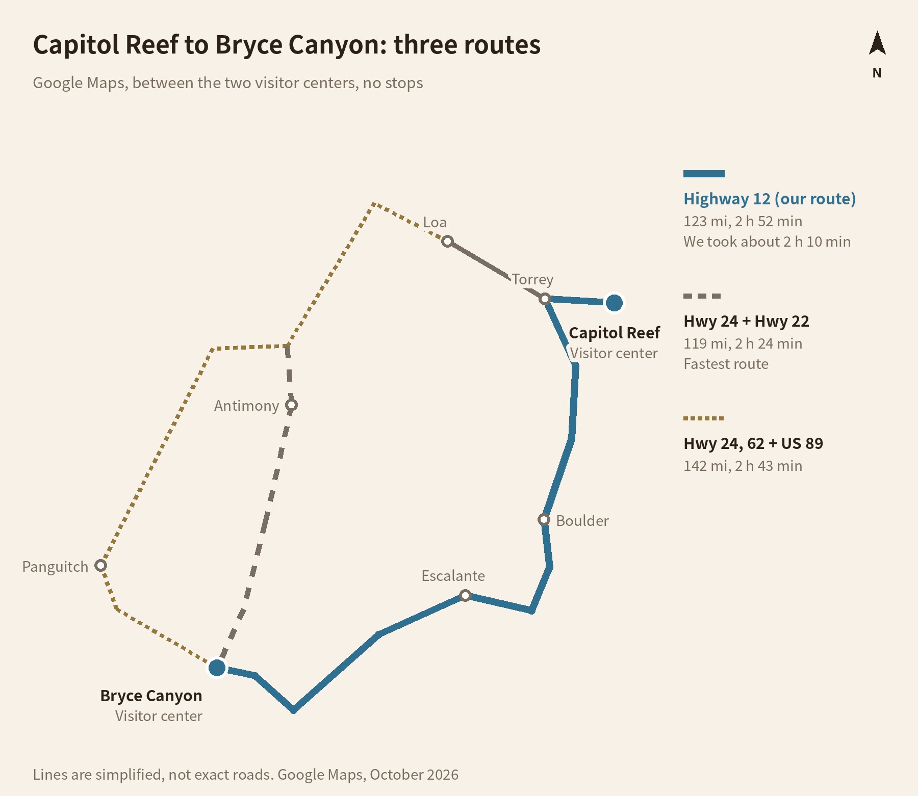
The times are from Google Maps as of October 2026 and assume no stops. We were planning to see Bryce Canyon that evening, so we felt a little rushed, but we weren’t going to give up this road. With a few roadside stops, it took us about 2 hours 10 minutes from Torrey to Bryce Canyon. The scenery changed constantly, and the extra time didn’t feel wasted.
Self-guided audio
To drive Highway 12 with narration
Drive your own car while your phone tells the stories behind the roadside viewpoints and place names.
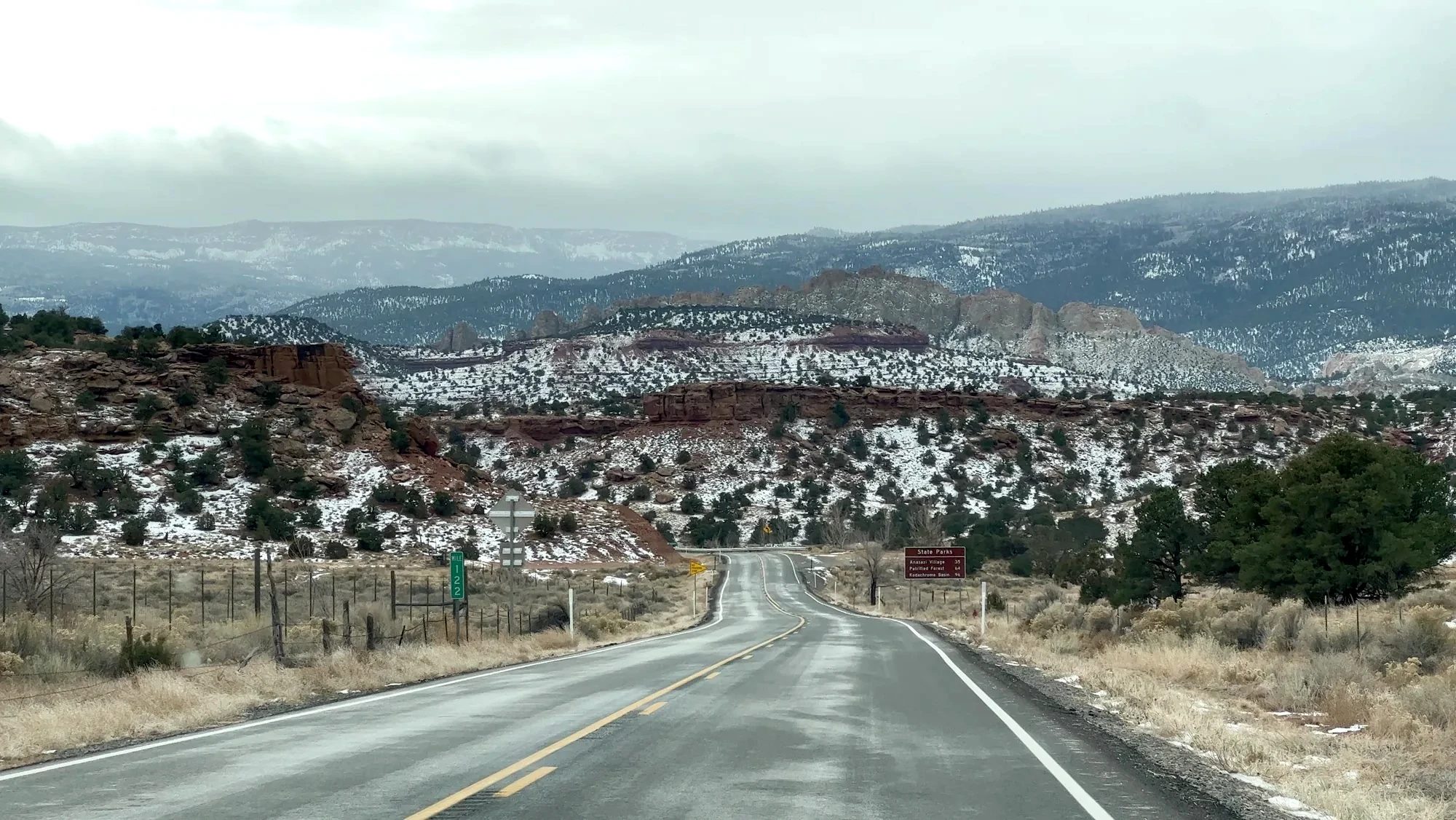
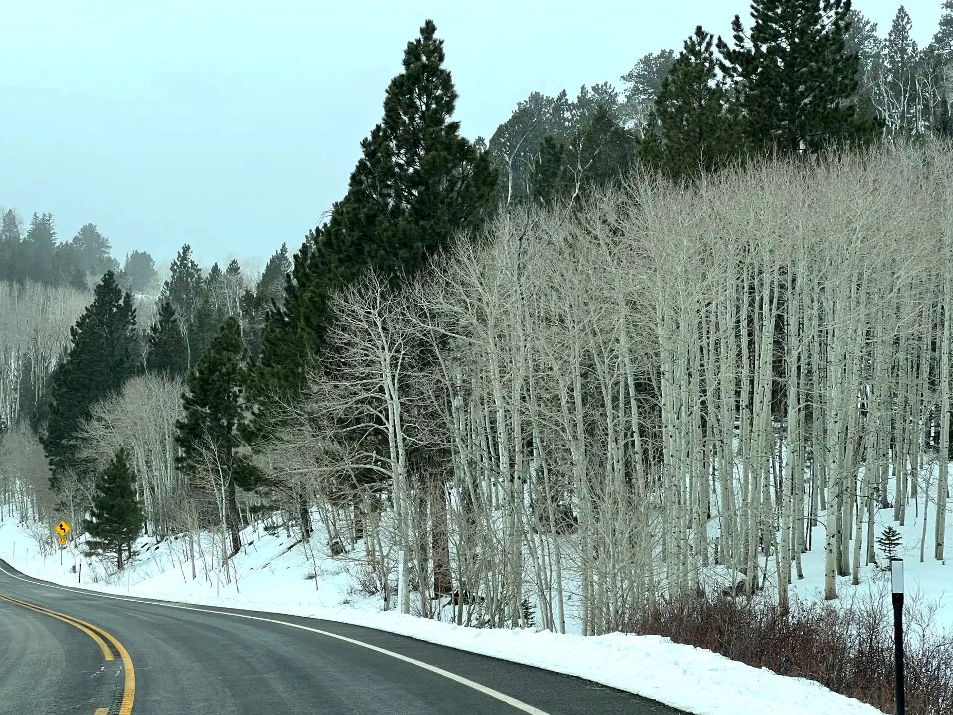
The road soon climbs Boulder Mountain in Dixie National Forest. The higher we went, the more snow lay along the shoulder, with layer after layer of white-trunked aspens and dark evergreens. The views and terrain kept changing, and we enjoyed the whole drive.
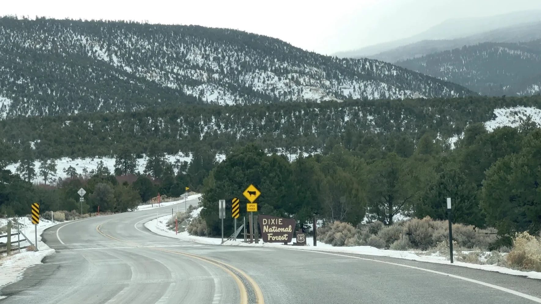
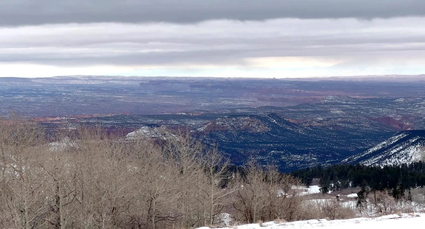
Around 12:20 p.m. we pulled over at a spot overlooking a wide plain and got out to take it in. For driving, the MagSafe phone mount we’d brought was handy.
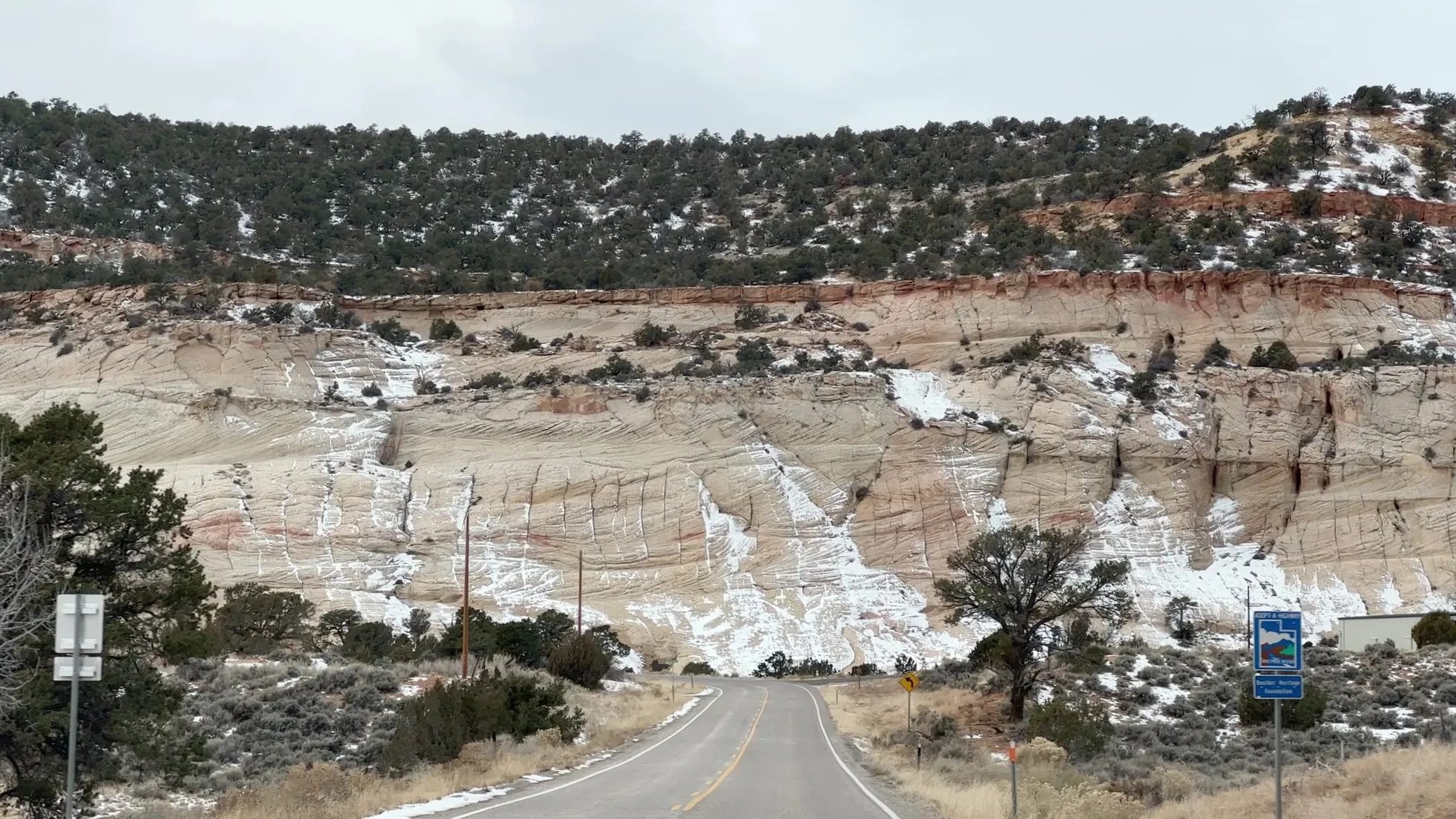
Coming down off the pass, rocky country opened up again. The sandstone here was a paler ivory than elsewhere, dotted with green grass and brush, with red cliffs behind it.
The Hogback and Grand Staircase-Escalante
We passed through the town of Boulder and reached the Hogback (spelled Hogsback in official materials) around 12:50 p.m. Here the road follows a ridge that drops off steeply on both sides. A hogback is a narrow, steep ridge shaped like the back of a hog, and Utah’s tourism office singles out this stretch as one of Highway 12’s highlights. On top of the ridge, you look straight down into the canyons on either side.
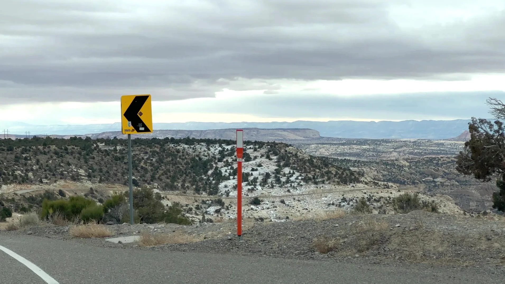
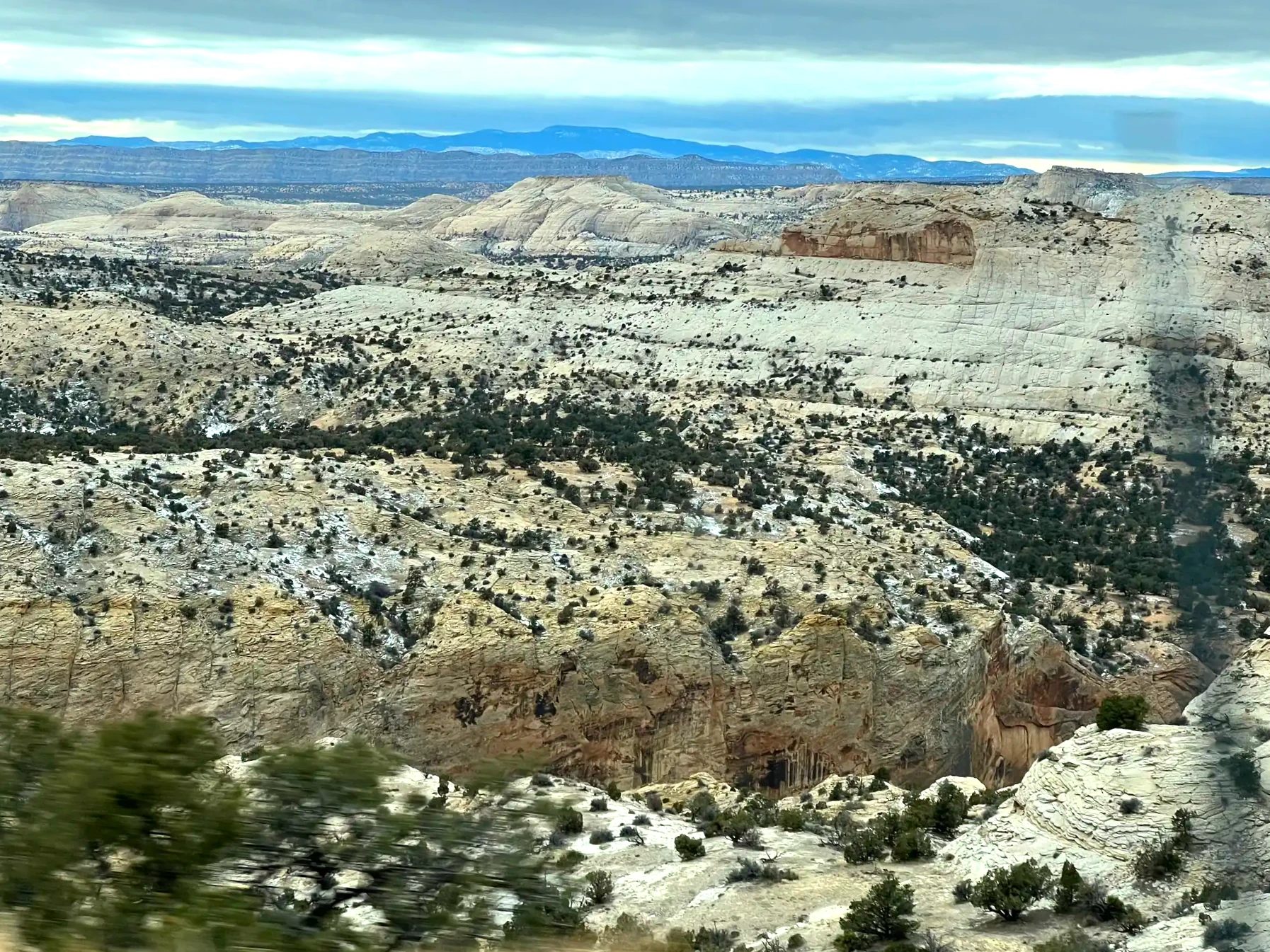
From there the road dropped into a canyon between red cliffs, then climbed back onto rolling hills of white sandstone domes. The color and shape of the rock changed every few minutes, so there was never a dull stretch.
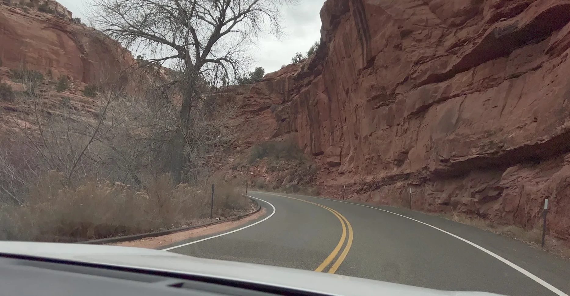
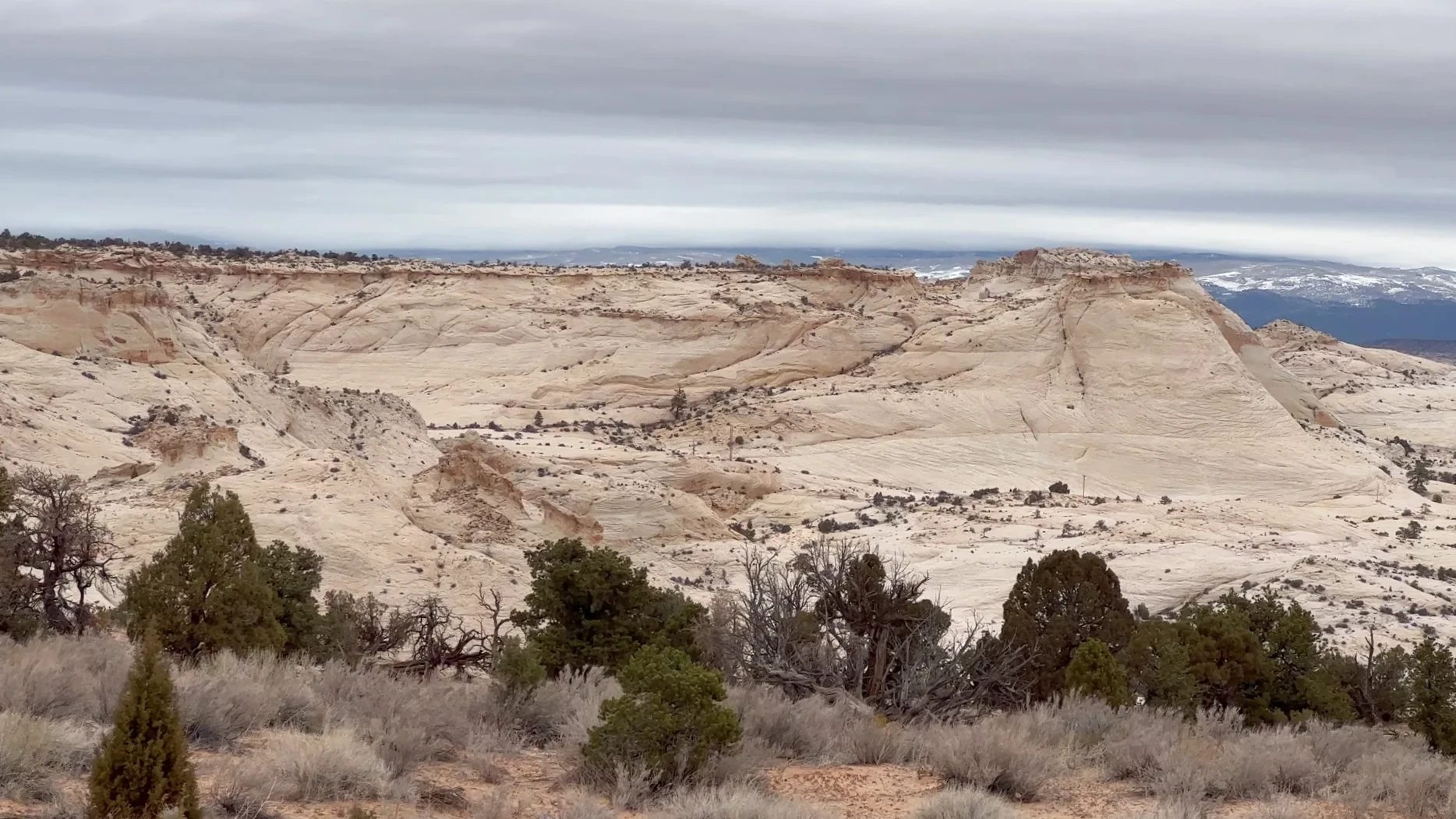
All of this is Grand Staircase-Escalante National Monument. Around 1 p.m. we pulled over to take photos. Some cliffs were heavy with snow and some weren’t, and the ground was slowly turning gray. We had hoped to stop at Kiva Koffeehouse, near mile marker 73 between Boulder and Escalante, but it was closed, so we drove on.
From Escalante to Bryce Canyon
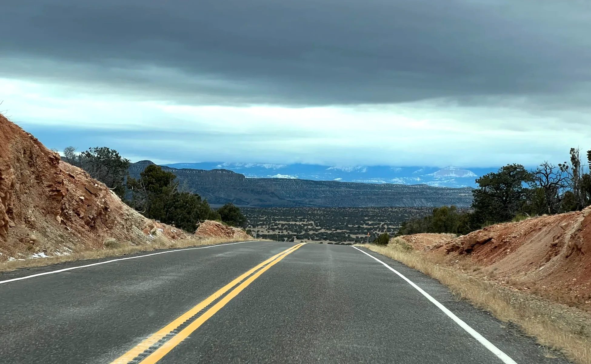
We passed through the town of Escalante around 1:20 p.m. Heading west, snow-covered mountains came closer again, and the road crossed a pass cut through gray rock hills.
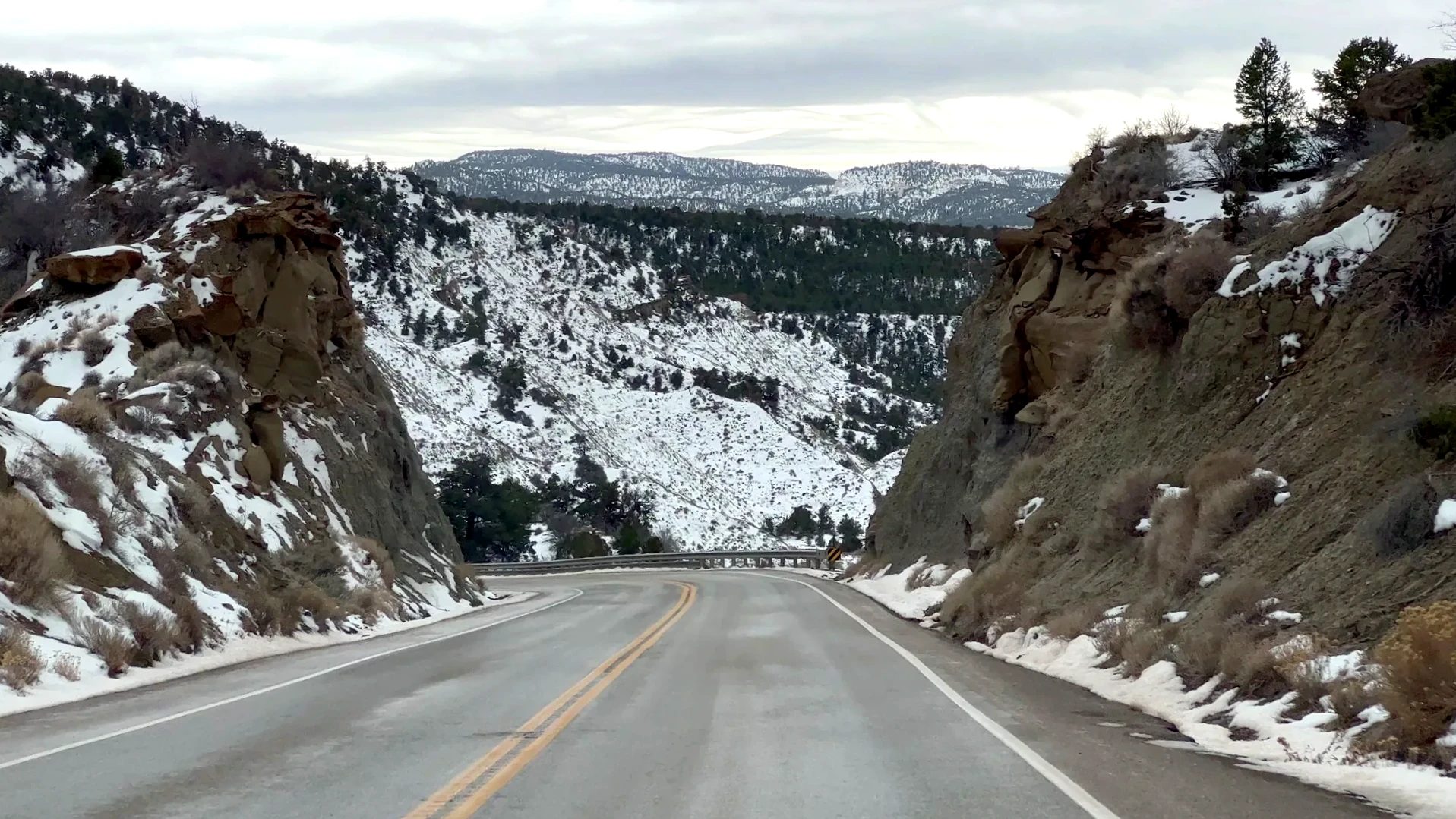
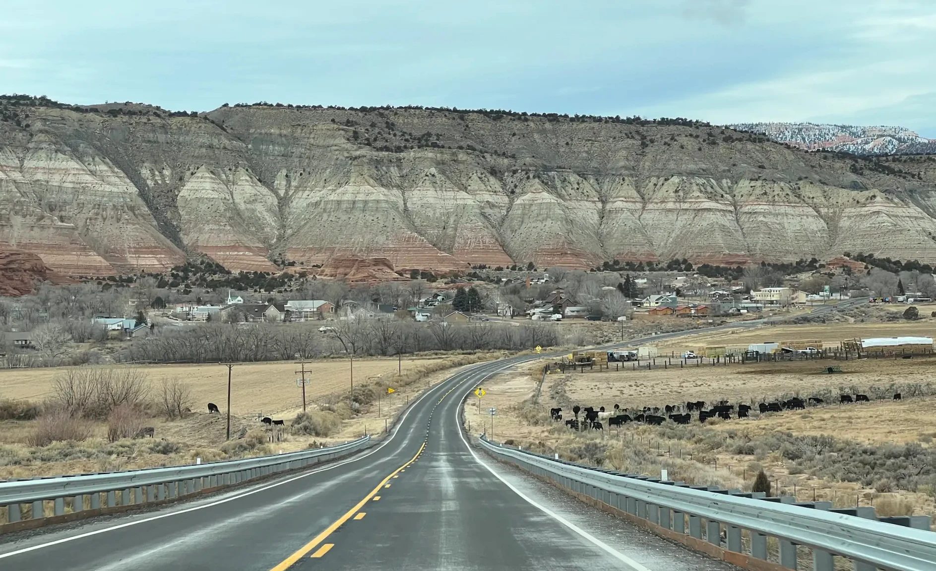
Coming down around Tropic, we saw black and white cattle on wide pastures. Pink and white cliffs stretched along the horizon, and as we got closer to Bryce Canyon, red hoodoos started showing up by the road.
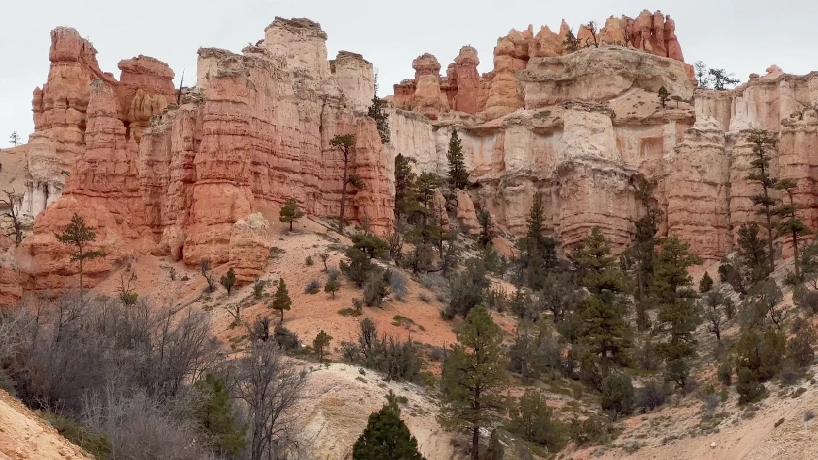
We reached the Bryce Canyon National Park entrance around 2:10 p.m. Bryce in the snow gets its own post, coming next.
Our two-day timeline
Goblin Valley and Capitol Reef sit between Arches and Bryce Canyon, which makes them easy to skip. We gave each about half a day. These times include walking with a kid; a group of adults would likely move a bit faster.
| Place | Time | Time spent | Walking |
|---|---|---|---|
| Moab to Goblin Valley | Dec. 22, 2:45–4:25 p.m. | 1 hr 40 min driving | None |
| Goblin Valley State Park | 4:25–5:45 p.m. | 1 hr 20 min | Free roaming in the valley |
| Goblin Valley to Torrey | 5:45–7:25 p.m. | 1 hr 40 min driving | None |
| Capitol Reef petroglyphs | Dec. 23, 8:40–9:05 a.m. | 25 min | Boardwalk |
| Hickman Bridge Trail | 9:05–11:05 a.m. | 2 hr | 1.8 mi (2.9 km) round trip, 400 ft (122 m) climb |
| Capitol Reef Visitor Center | 11:20–11:35 a.m. | 15 min | None |
| Highway 12 | Noon–2:10 p.m. | 2 hr 10 min driving | Roadside stops |
Driving this route in December
The sun sets early at Goblin Valley in December. Arrive around 4:30 p.m., as we did, and you get a little over an hour to see the rocks. Temperatures drop fast once the sun is down, so keep gloves and a heavy jacket in the car. Mornings at Capitol Reef were cold enough to freeze the riverbanks, too.
On Highway 12’s Boulder Mountain pass, snow was piled along the shoulders, but the road itself had been plowed. Right after a snowfall it can be a different story, so check UDOT’s road conditions before you set out. Take extra care on the Hogback, with its drop-offs on both sides, if the road is icy.
FAQ
Can you climb the hoodoos at Goblin Valley?
You’re free to walk through the valley and touch the rocks, but Utah State Parks asks visitors not to climb the fragile hoodoos. Stick to the dirt mounds between the rocks or the flat sandstone.
How much time do you need at Goblin Valley?
An hour is enough to look down from the overlook shelter and walk a loop through the valley. We stayed 1 hour 20 minutes because we were taking photos and wanted to see the rocks change color as the sun went down. Next time we’d arrive about two hours before sunset to see the red rock in full light.
How long is the drive from Arches to Goblin Valley?
On our Grand Circle loop, it took about 1 hour 40 minutes from Moab via I-70 and Highway 24. Goblin Valley to Torrey, through Hanksville and Capitol Reef, was also about 1 hour 40 minutes.
How much is the Capitol Reef National Park entrance fee?
There’s no fee to hike the trails along Highway 24. Past the Fruita Campground, the Scenic Drive costs $20 per vehicle (as of October 2026). If you have the national parks annual pass, you don’t pay separately.
What’s the weather like at Capitol Reef, and when should you go?
In late December, when we went, mornings were cold enough for the edges of the Fremont River to freeze, but once the sun was up, the Hickman Bridge Trail was fine for walking. If you want to see the orchards, go March through May for blossoms or June through October for fruit. During harvest, you can pick your own in orchards posted as open for picking. Eating fruit in the orchard is free; you pay only for what you take out, weighed at the self-pay station by the entrance.
Is half a day enough for Capitol Reef?
The petroglyphs, the Hickman Bridge Trail and the visitor center took us about three hours. If you want to do the Scenic Drive past Fruita or a longer trail, plan on a full day.
Which route should you take from Capitol Reef to Bryce Canyon?
The fastest is Highway 24 to Johns Valley Road (Highway 22), at about 2 hours 24 minutes. Utah Highway 12 takes about 2 hours 52 minutes, roughly 30 minutes longer. We took Highway 12 for the scenery.
How would you change the plan outside winter?
Because of the December snow, we decided not to push the Bryce Canyon trails and, following the park service’s winter advice, planned only about two hours there, mostly at viewpoints. That left us the whole morning for Capitol Reef. In a season without snow, if you want to hike the Queen’s Garden and Navajo Loop trails down into Bryce Canyon, give Bryce more time and trim Capitol Reef to the petroglyphs and the views from Highway 24.
Should you stay in Torrey or Hanksville?
If you’re taking Highway 12 to Bryce Canyon the next day, Torrey is easier, since that’s where Highway 12 begins. That’s why we stayed there.
If we went back
Goblin Valley is a state park and not a big one, which made it an easy stop on the way through. It’s also a landscape you’d be hard-pressed to find anywhere else. We went in just before sunset and came out at dusk, so next time we’d arrive earlier and spend longer walking among the red rocks. The park is open until 10 p.m. and is a certified International Dark Sky Park, so on a winter day, when the sun goes down early, you could stay until the stars come out. To spend the night inside the park, you need to reserve a campsite or yurt in advance. Highway 12 was good even on an overcast winter day like ours; on a clear day, the white rock and red cliffs would probably look even sharper.
A day that started at Arches ended in Goblin Valley’s blue dusk, and the next one began on a frozen riverbank. Past mushroom rocks, petroglyphs and a snowy pass all the way to Bryce Canyon, the color of the rock outside our windows changed again and again over two days.
Related posts
| Type | Post |
|---|---|
| Full itinerary | A 10-day winter Grand Circle road trip by rental car Route, lodging and bookings for all 15 stops |
| Previous | One day in Arches National Park in December Delicate Arch Trail and Landscape Arch in Devils Garden |
| Next | Bryce Canyon in the snow |
Location and route
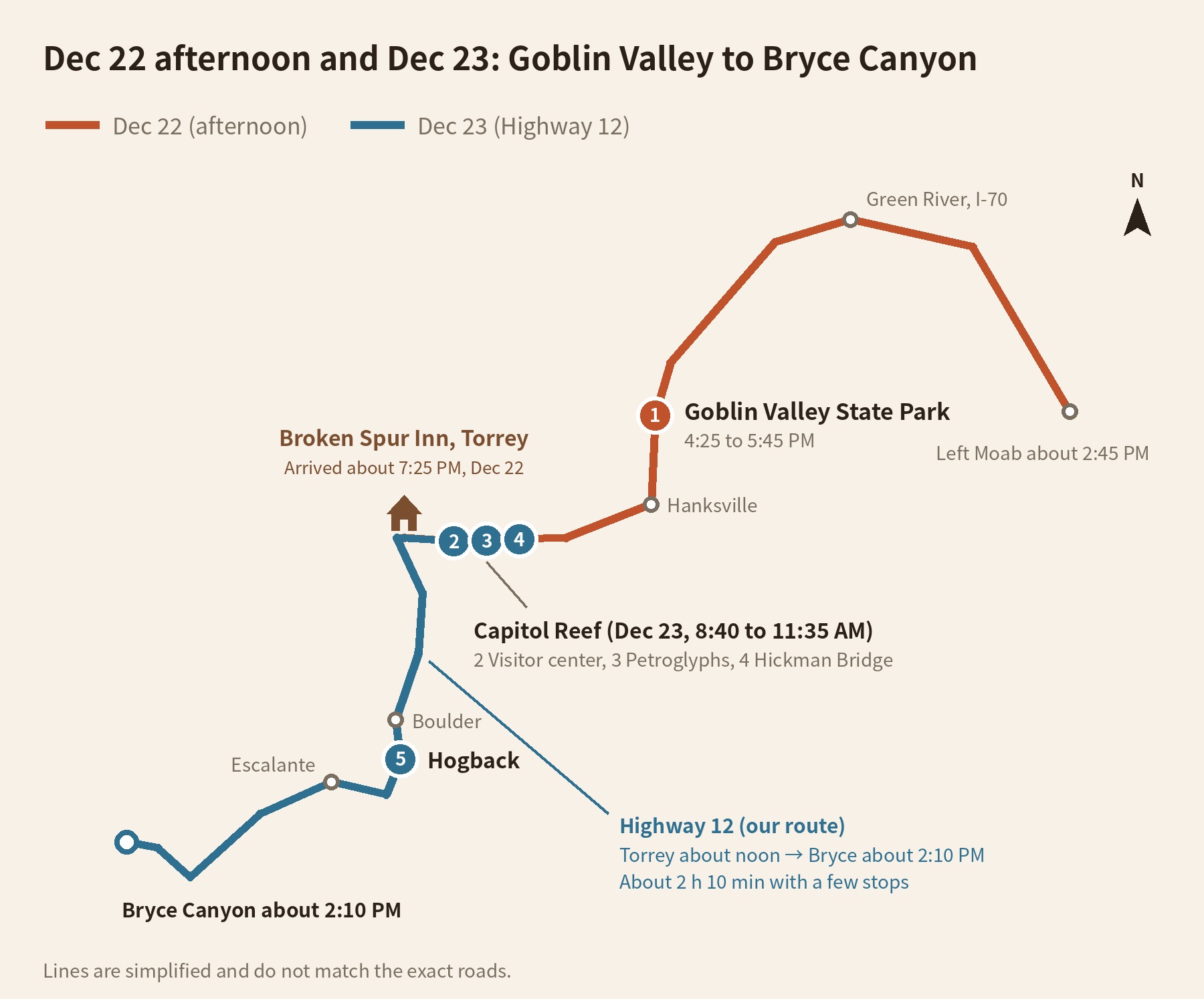
From Moab, take US 191 north to I-70 and head west past Green River. Then go south on Utah 24 to the Goblin Valley turnoff. From Goblin Valley, Highway 24 continues through Hanksville and turns west, crossing Capitol Reef to Torrey. The next day we took Highway 12 from Torrey through Boulder, Escalante and Tropic to Bryce Canyon.
What we needed for this trip
Bookings
- Lodging in TorreyWe stayed at Goblin Valley until dusk, then drove an hour and 40 minutes to get here. Highway 12 starts right outside town the next morning.See Broken Spur Inn on Expedia
- Rental carWe picked ours up at the Las Vegas airport and drove it for nine days. Goblin Valley, Capitol Reef and Highway 12 are all paved, so a regular car is fine.See Las Vegas airport rental cars on Trip.com
What to bring
- HeadlampWe walked out of Goblin Valley as it was getting dark.See rechargeable headlamps on Amazon
- Phone mountWe kept the map up the whole way along Highway 12.See MagSafe car mounts on Amazon
- America the Beautiful passWe used it for the national parks on the Grand Circle. Capitol Reef cost nothing because we stuck to the Highway 24 stops, and Goblin Valley, a state park, charged its own fee.
Getting there
Flights to Las Vegas
Sources
- Utah State Parks: Goblin Valley fees and hours, Goblin Valley brochure (accessed October 23, 2026)
- Visit Utah: Goblin Valley
- National Park Service: Capitol Reef fees, trail guide, Fruita area map and guide (accessed October 23, 2026)
- Utah Film Commission: Utah Film Trail, Wikipedia: Goblin Valley State Park
- National Park Service: Capitol Reef fee notice (Highway 24 trails and the Scenic Drive)
- Visit Utah: All-American Road Scenic Byway 12, Recreation.gov: Scenic Byway 12, Utah.com: Highway 12 scenic byway
Not in the list? Search it yourself
Places to stay nearby, on a map
Affiliate link: if you book through this search, the blog earns a commission at no extra cost to you. Results open in a new tab. About affiliate links
Discover more from Elsewhere, Mostly
Subscribe and get new posts sent straight to your inbox.