This post covers day one of a four-day, three-night road trip around the Gaspé Peninsula. This Montreal to Gaspésie drive took us from Montreal to our inn at Pointe-à-la-Garde, at the southern gateway to the peninsula, in a single day. Along the way we stopped at a poutine diner in Drummondville, a Korean restaurant in Rimouski, the Pointe-au-Père lighthouse, the salmon river at Causapscal, the Routhierville covered bridge and the beach at Tide Head, New Brunswick.
- Route
- 8:05 a.m.DrummondvilleTakeout poutine
- 1:20 p.m.RimouskiLunch
- 2:25 p.m.Pointe-au-PèreLighthouse, tide pools
- 6:40 p.m.CausapscalSalmon river
- 7:20 p.m.RouthiervilleCovered bridge
- 9:05 p.m.Tide HeadNew Brunswick
- CostFree: the shore by the lighthouse, the covered bridge and the beachPaid: the Pointe-au-Père museum, the submarine and the lighthouse climb
- DistanceAbout 850 km (530 mi) from Montreal to the inn, a little over 14 hours with stops Map →
Contents
We spent most of day one of our loop around the Gaspé Peninsula on the road. We drove to Rimouski, where Highway 20 ends. From there we headed down the Matapédia Valley, stopping for a lighthouse, a river and a bridge along the way.
Stay
Where we stayed: Auberge du Château Bahia
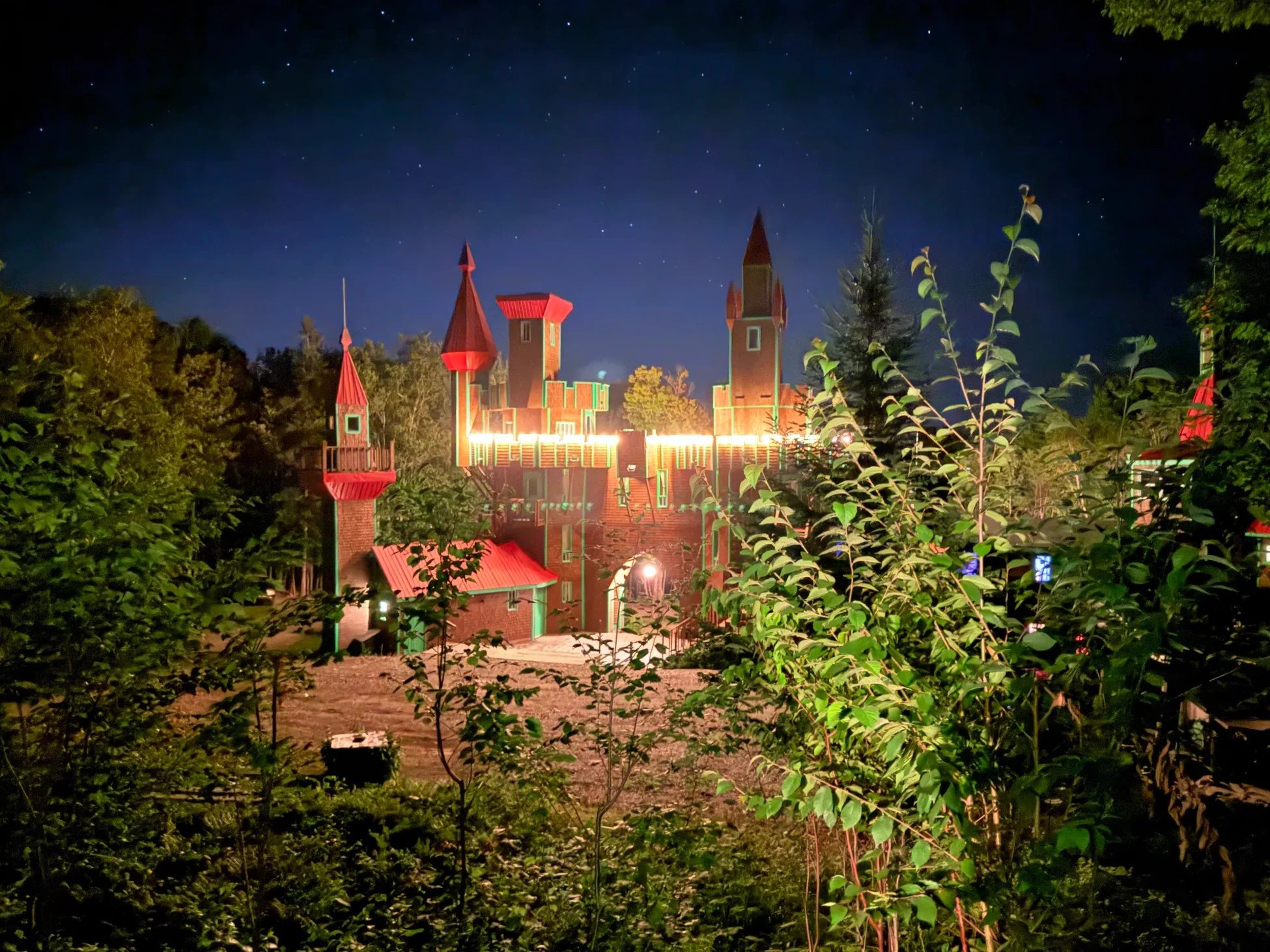
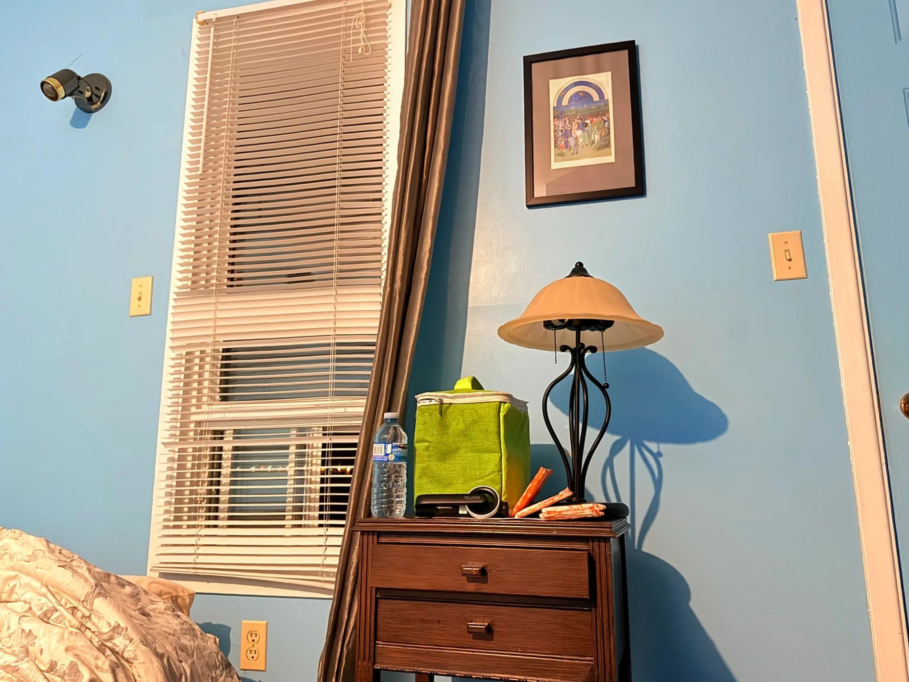
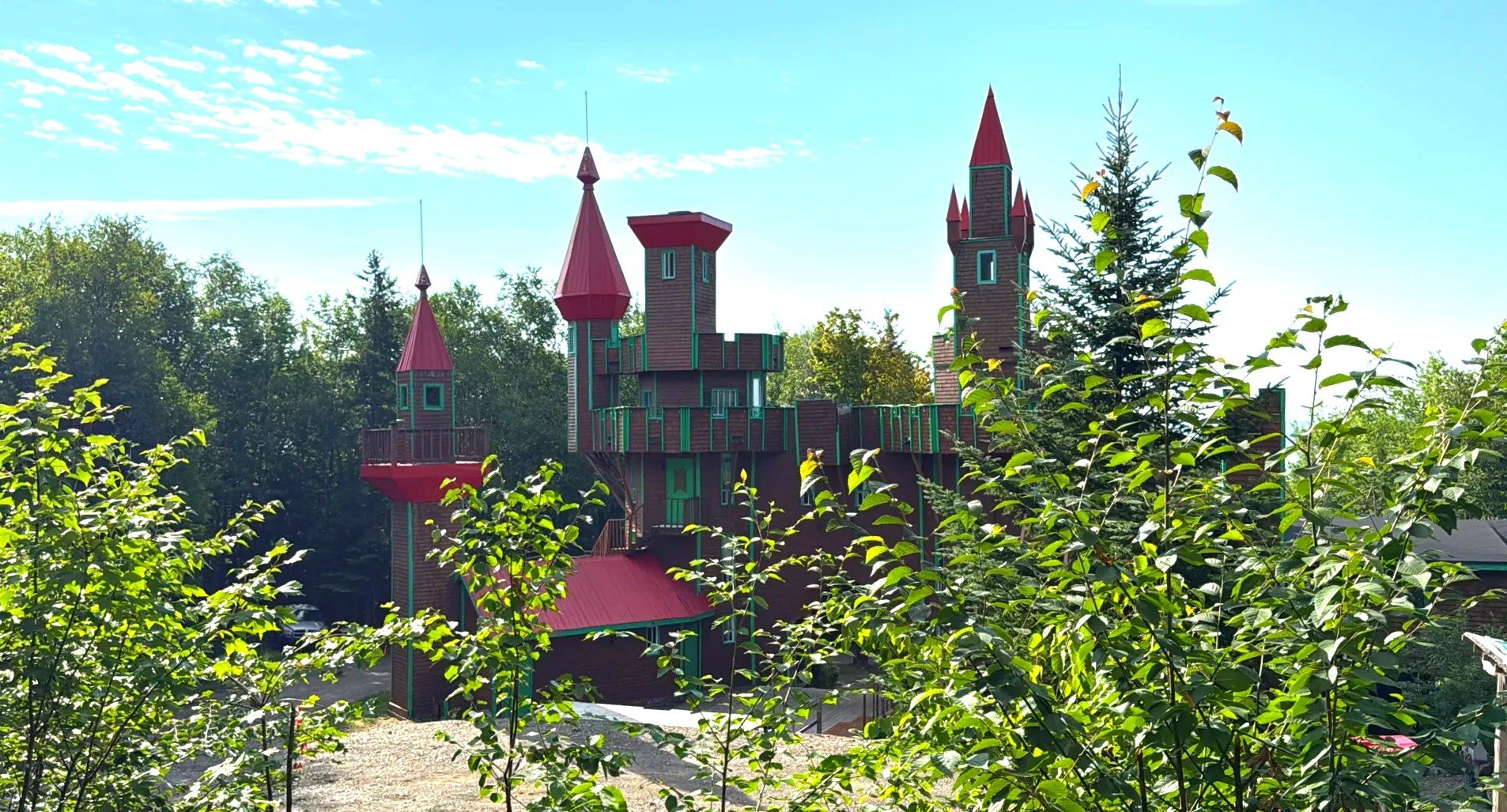
The castle’s main building lit up at night, our room, a tower in the morning
Same inn in Canadian dollars (Expedia)Other places to stay in Campbellton and Carleton (Expedia)
Drummondville: Le Roy Jucep, which claims to have invented poutine
Drummondville is a little over an hour east of Montreal on Highway 20. We pulled into Le Roy Jucep (Le Roy Jucep) shortly after 8 a.m. It’s an old-style diner lit with orange and yellow neon. It says that in 1964 it became the first to list fries topped with cheese curds and sauce on its menu as "poutine."
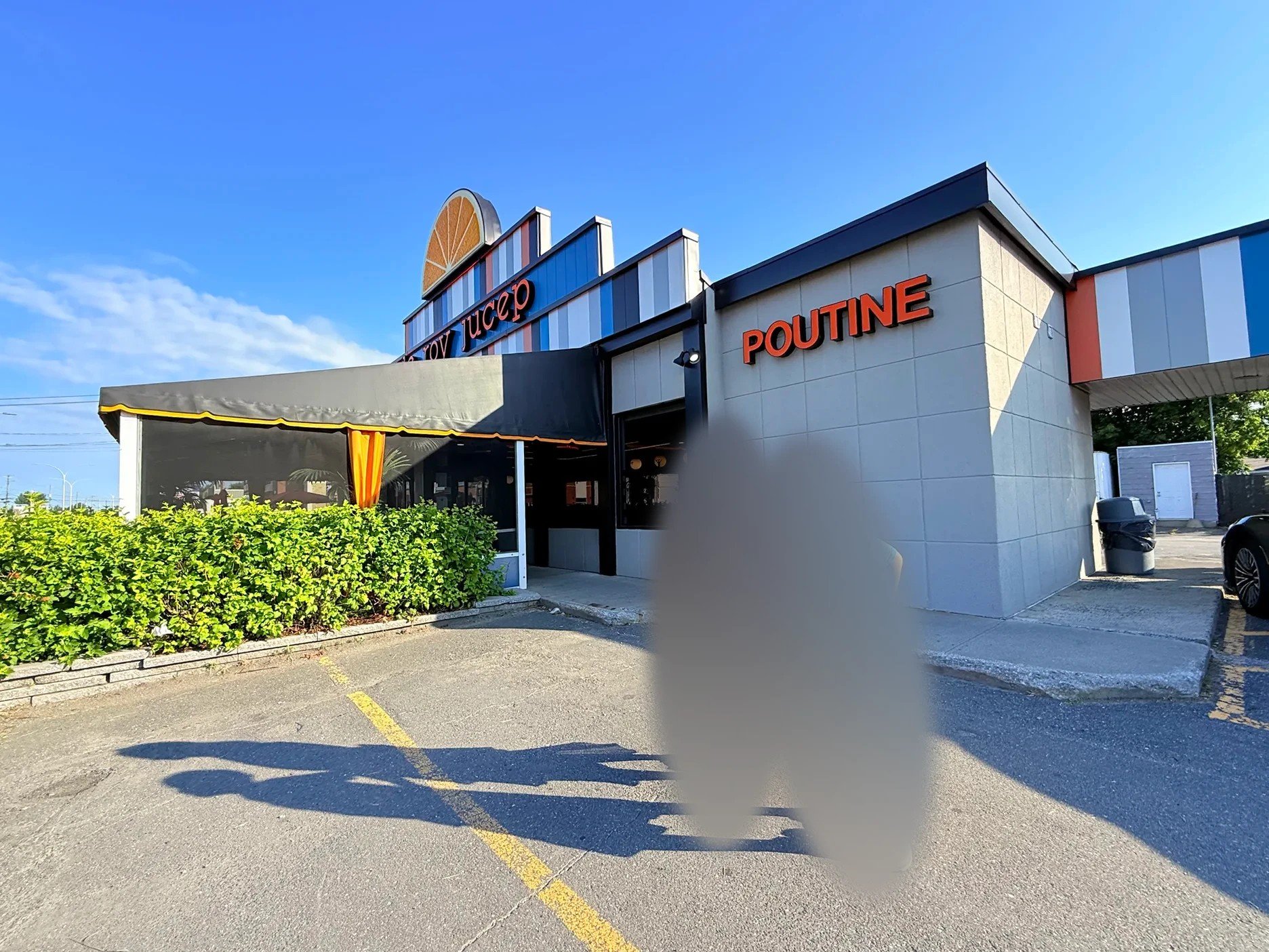
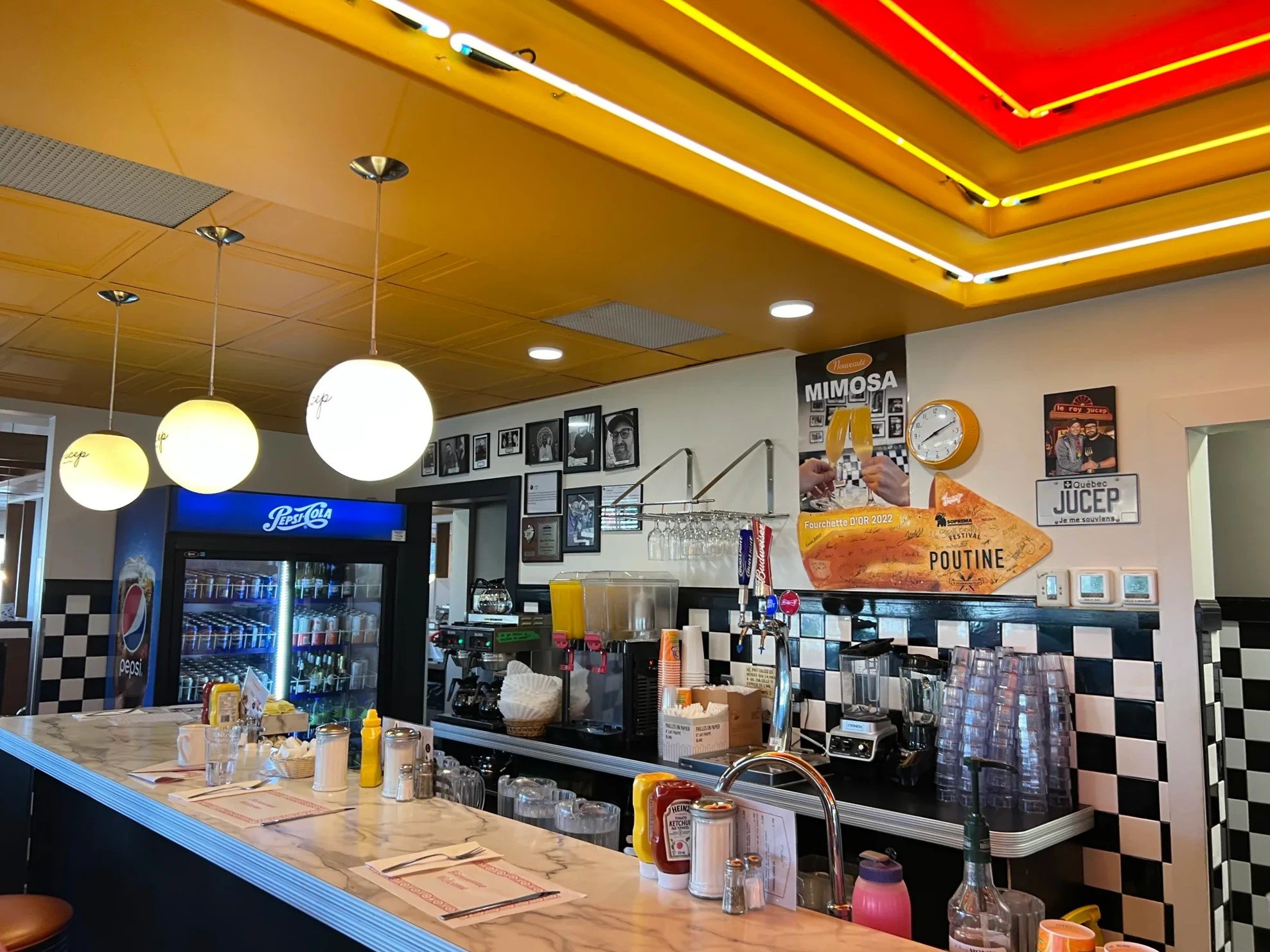
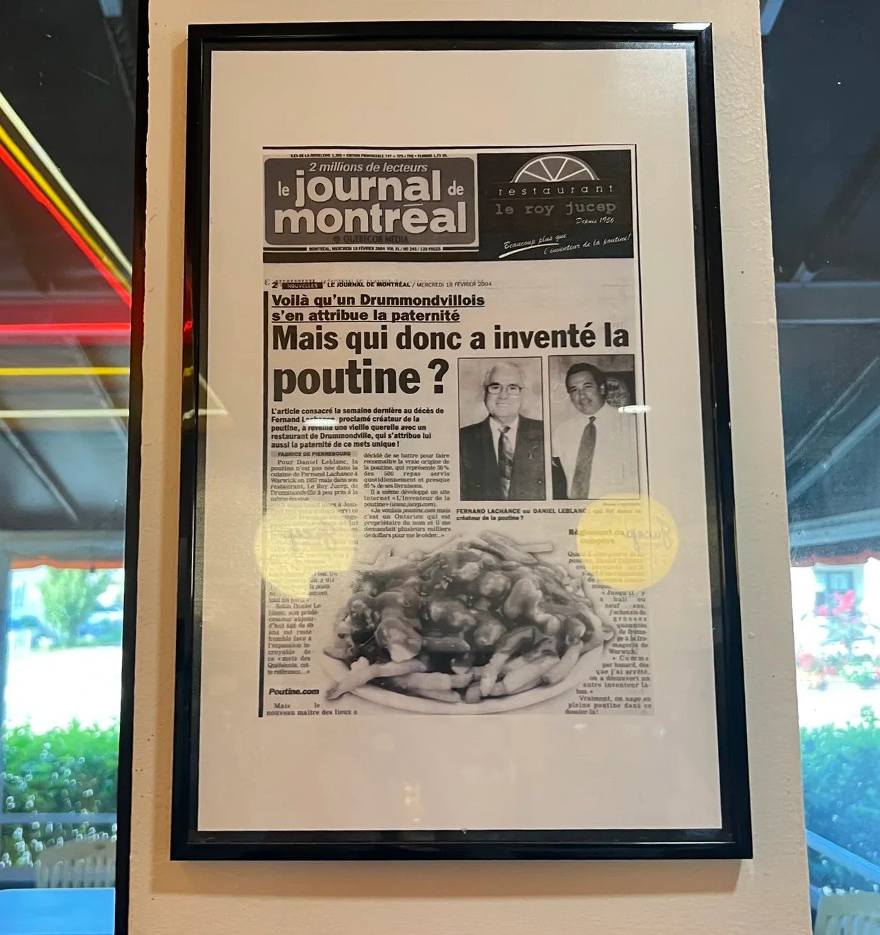
Who invented it is disputed. Le Lutin qui rit (Le Lutin qui rit) in nearby Warwick (Warwick) says it was selling poutine as early as 1957. But by Warwick’s own account, it first served just cheese and fries with no sauce, and one version of the story credits Le Roy Jucep with the first poutine as we know it today. A trademark certificate hangs on the wall from the Canadian Intellectual Property Office naming it the "inventor of poutine" (Wikipedia, Daily Hive).
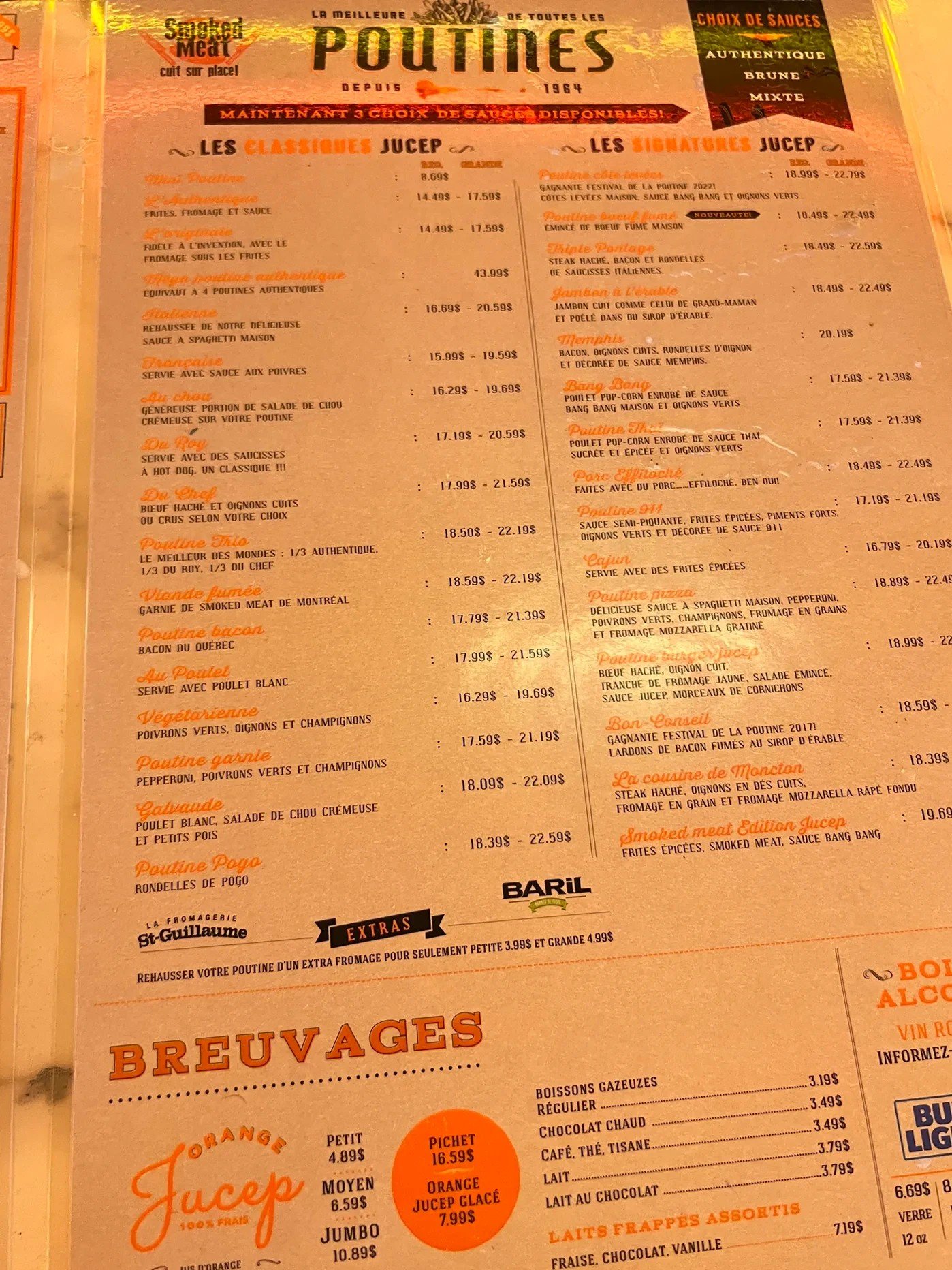
There was a breakfast menu, but we wanted to eat in the car, so we got the classic poutine, the one the place is best known for, to go. It tasted good to us. The dining room is fairly big, and next time we pass this way we’d like to set aside time to sit and eat there.
To Rimouski: summer fields and the St. Lawrence
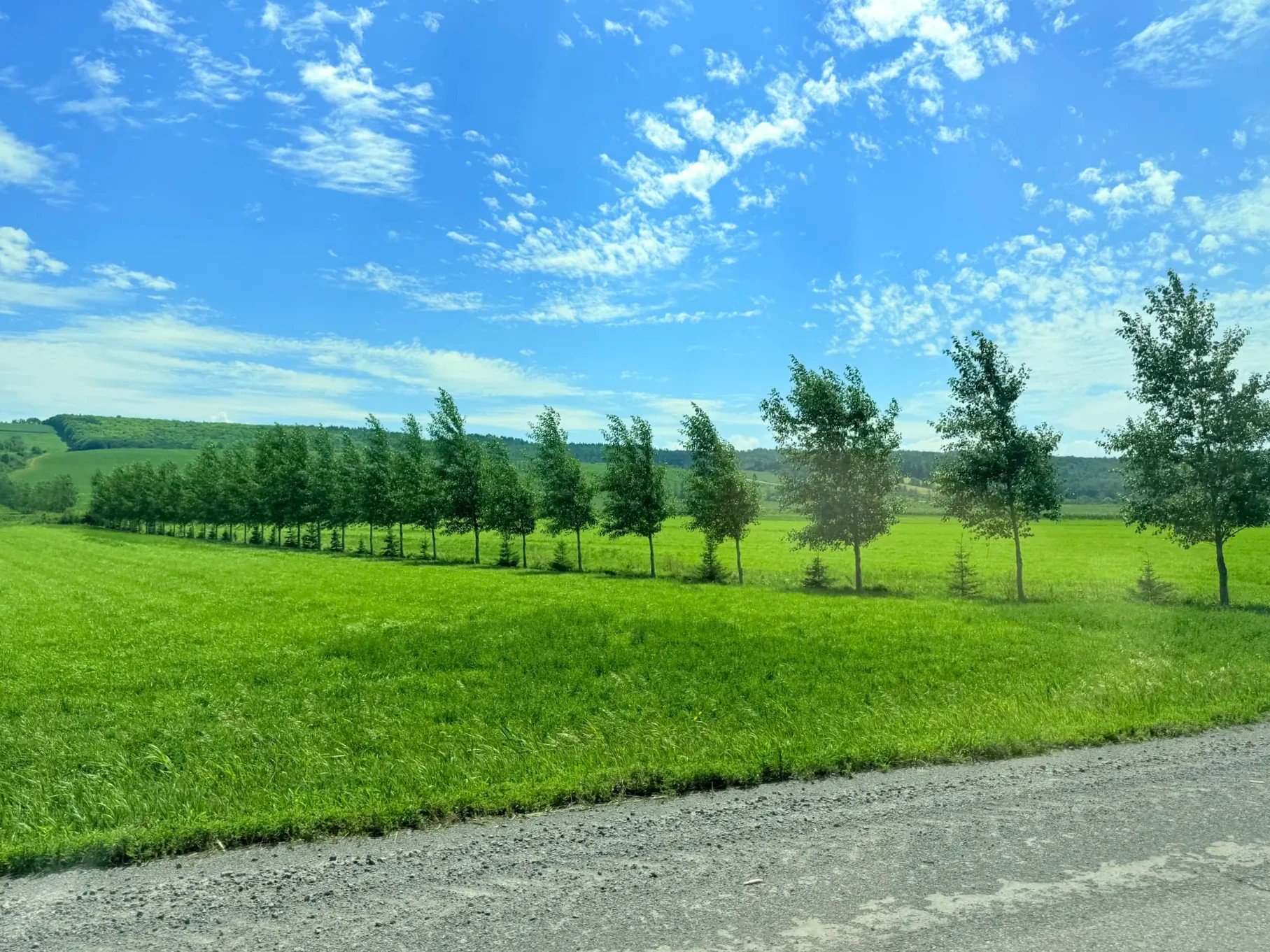
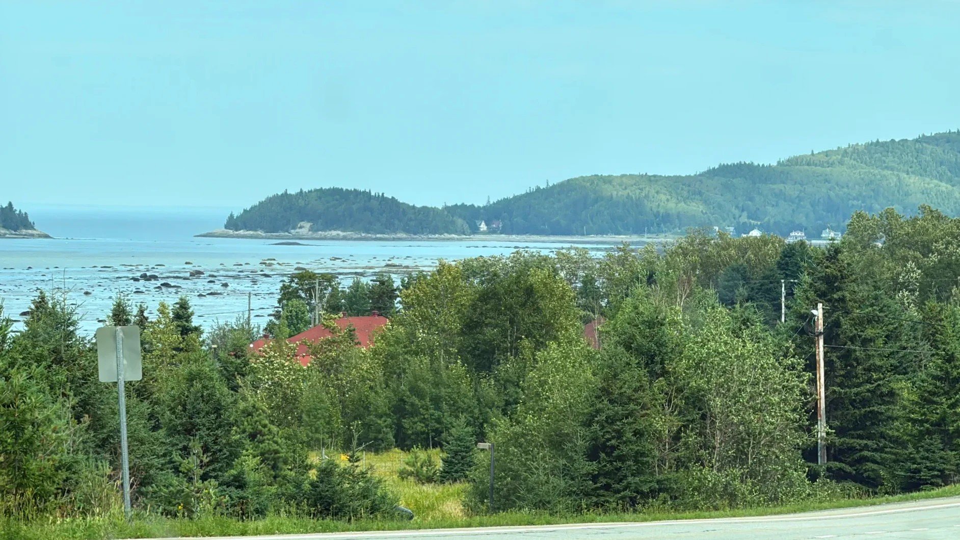
From Drummondville to Rimouski is close to five hours on Highway 20. Past Quebec City, the mountains across the river draw closer, and around Rivière-du-Loup (Rivière-du-Loup) the St. Lawrence River opens up as wide as a sea. We drove along summer fields and the river. Near Le Bic (Le Bic), low mountains and small bays ran along the river side of the road.
Lunch in Rimouski at Parfum de Corée
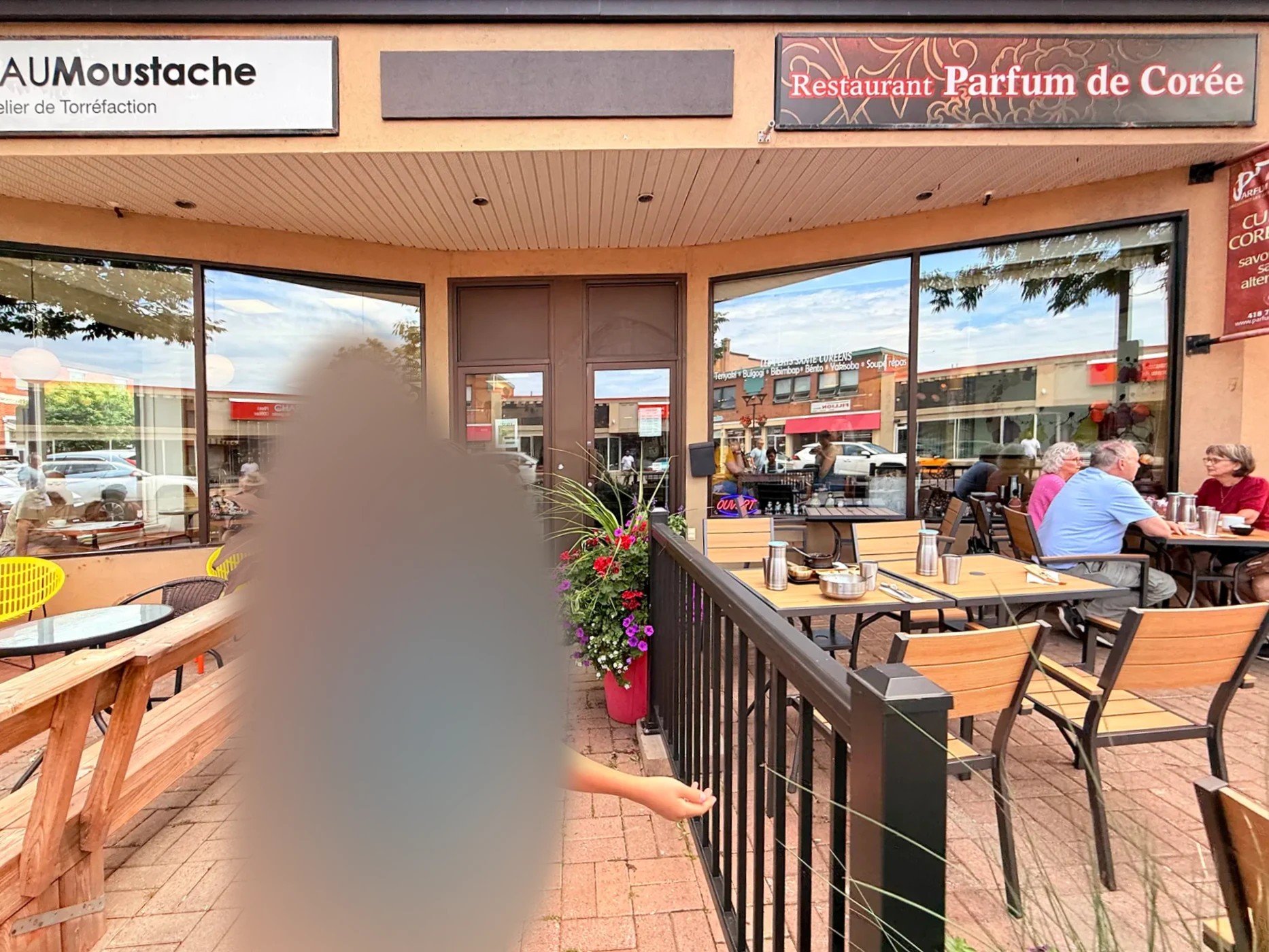
We had lunch at Parfum de Corée (Parfum de Corée), a Korean restaurant in downtown Rimouski (Rimouski). It was a nice surprise to find one in a small city in eastern Quebec.
Stay
If you break up the drive in Rimouski
Pointe-au-Père lighthouse: two hours in the tide pools
Pointe-au-Père (Pointe-au-Père) is about 10 km (6 mi) east of downtown Rimouski. A white lighthouse built in 1909 stands 33 m (108 ft) tall there. The Pointe-au-Père Maritime Historic Site (Site historique maritime de la Pointe-au-Père) runs alongside it (Québec Maritime).
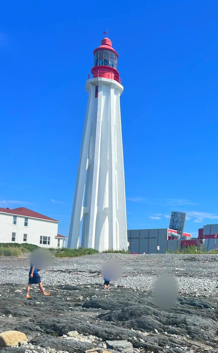
At low tide, clear pools form all over the rocky shore in front of the lighthouse. When we looked in, tiny shrimp were swimming around. Our kid likes playing in water, so instead of visiting the site’s attractions we spent close to two hours at the tide pools. In the grass nearby, we also found a four-leaf clover.
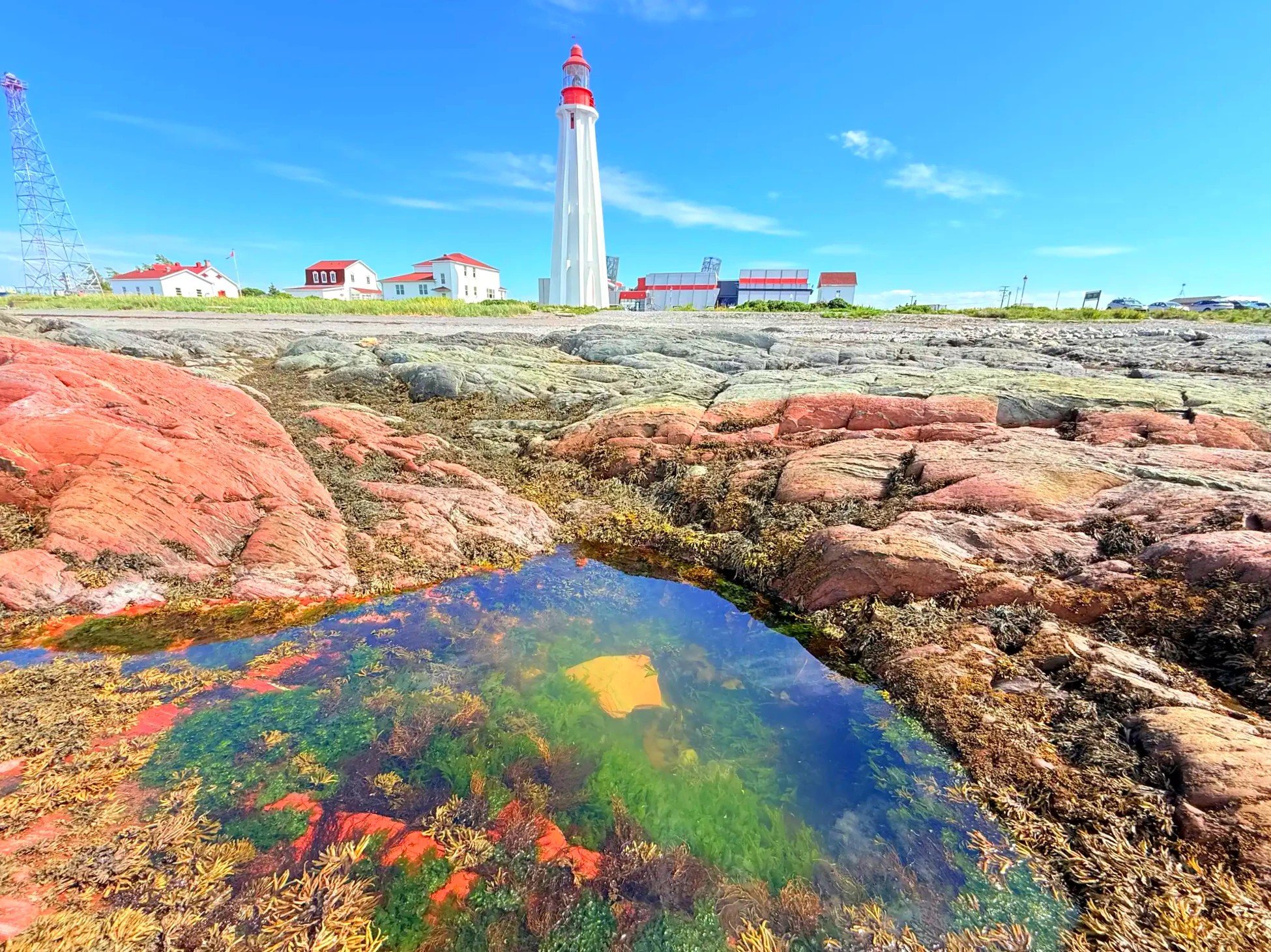
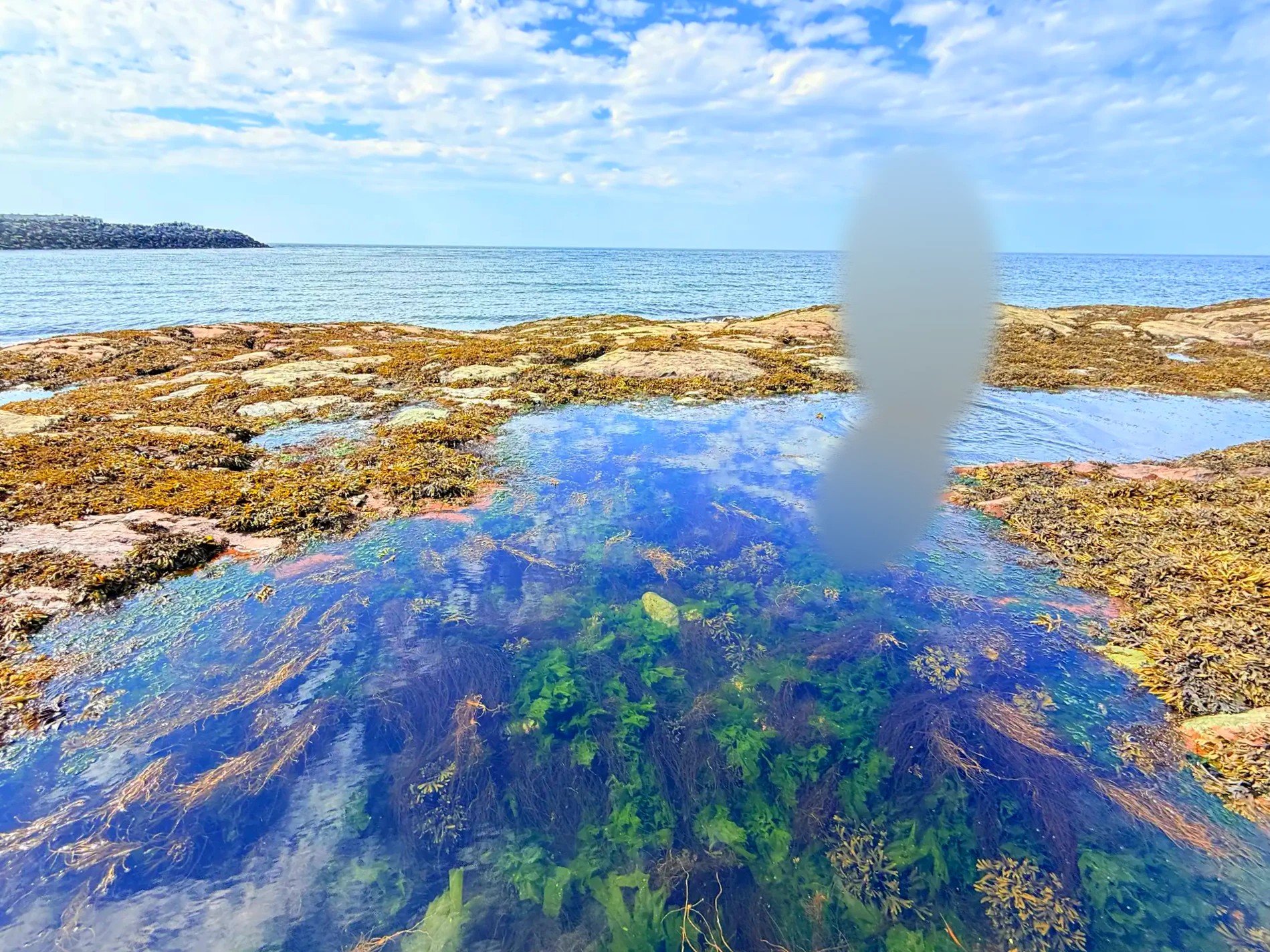
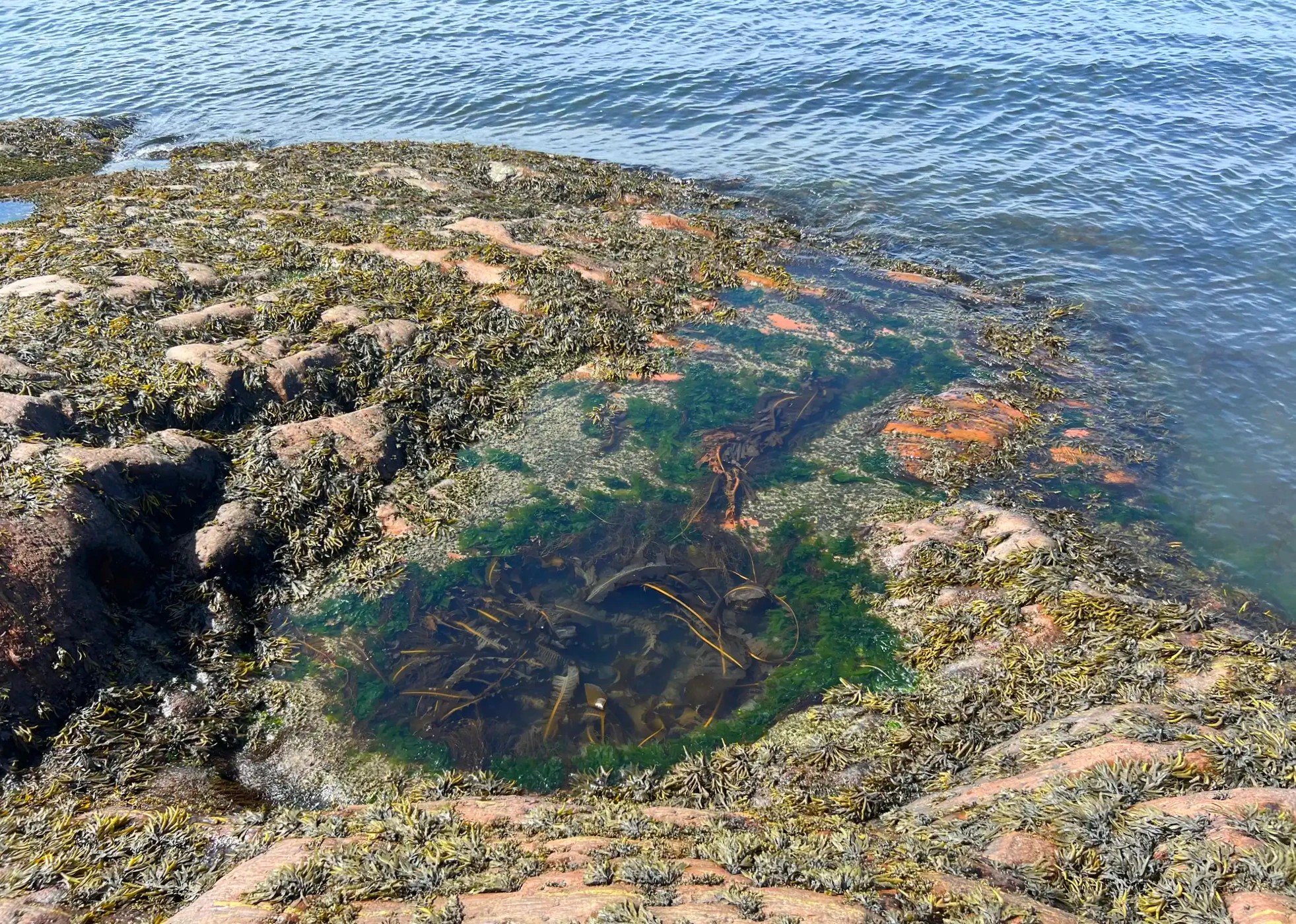
Look, don’t take Leave the shrimp and other small creatures in the tide pools where they are.
Pointe-au-Père Maritime Historic Site
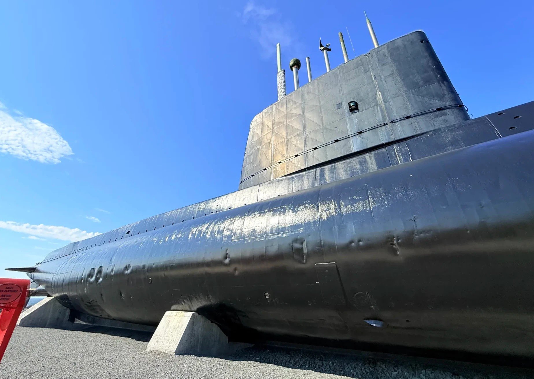
The site has three parts: the submarine Onondaga, the Empress of Ireland museum and the lighthouse.
The Onondaga is a 90 m (295 ft) submarine that served in the Canadian navy from 1967 to 2000. It was the first submarine in Canada opened to the public, and you tour the inside with an audio guide (Tourisme Bas-Saint-Laurent).
The Empress of Ireland was a passenger liner that collided with another ship off this shore on May 29, 1914, and sank in 14 minutes. With 1,012 dead, it is counted as Canada’s worst maritime disaster outside wartime. The museum holds artifacts brought up from the wreck and a film about the final voyage.
The lighthouse, built in 1909 and 33 m (108 ft) tall, is climbed with a guide: 128 steps. You can buy tickets for each attraction separately or get a combined ticket for all three. The site is open from June to mid-October; the 2026 lighthouse season runs June 6 to October 12 (Lonely Planet, Bonjour Québec).
Causapscal, a salmon river town
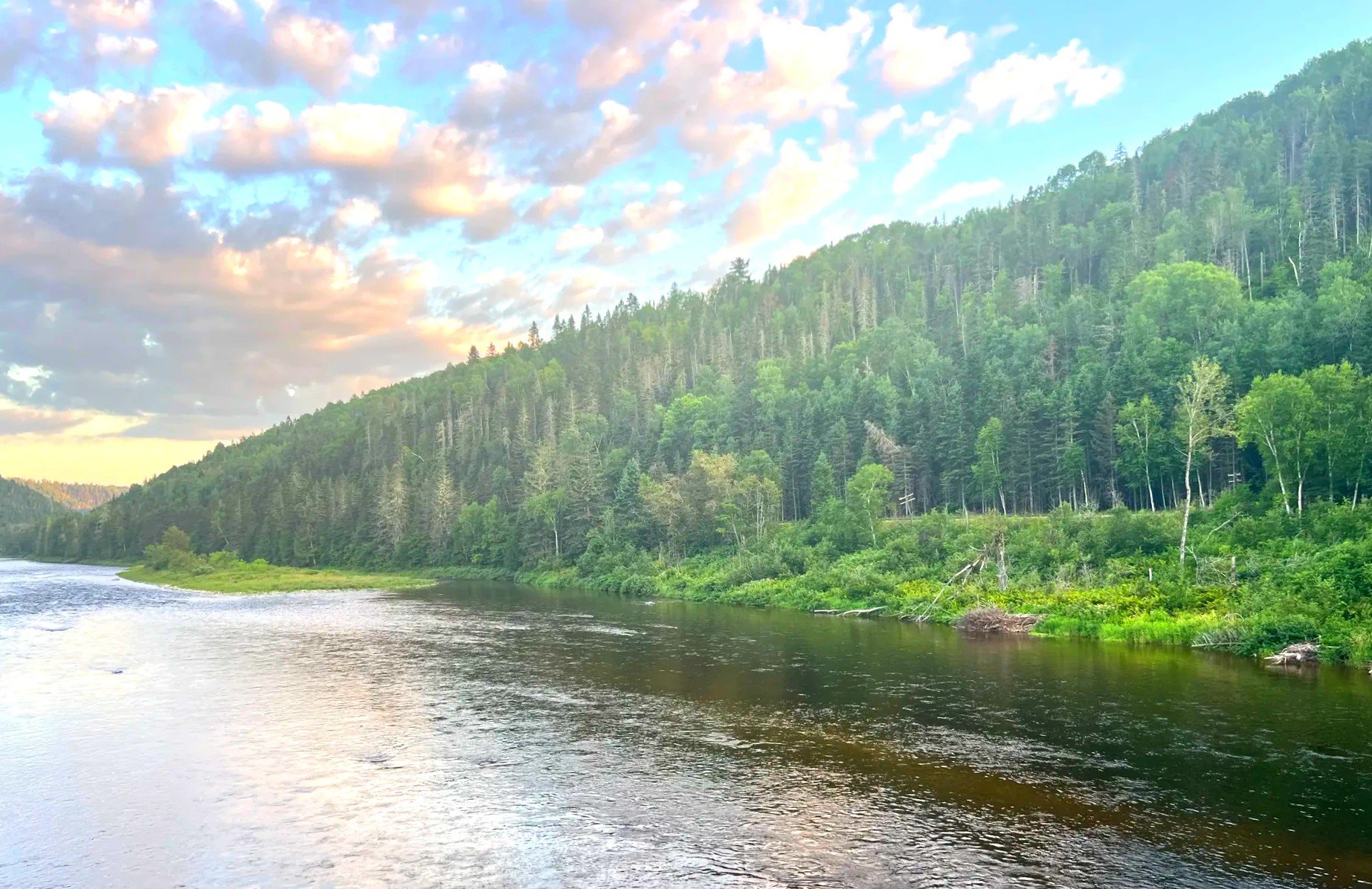
From Pointe-au-Père we headed into the Matapédia Valley (Vallée de la Matapédia). Route 132 follows the river south, and the forest grows thicker on both sides of the road. Around 6:40 p.m. we made a short stop in Causapscal (Causapscal).
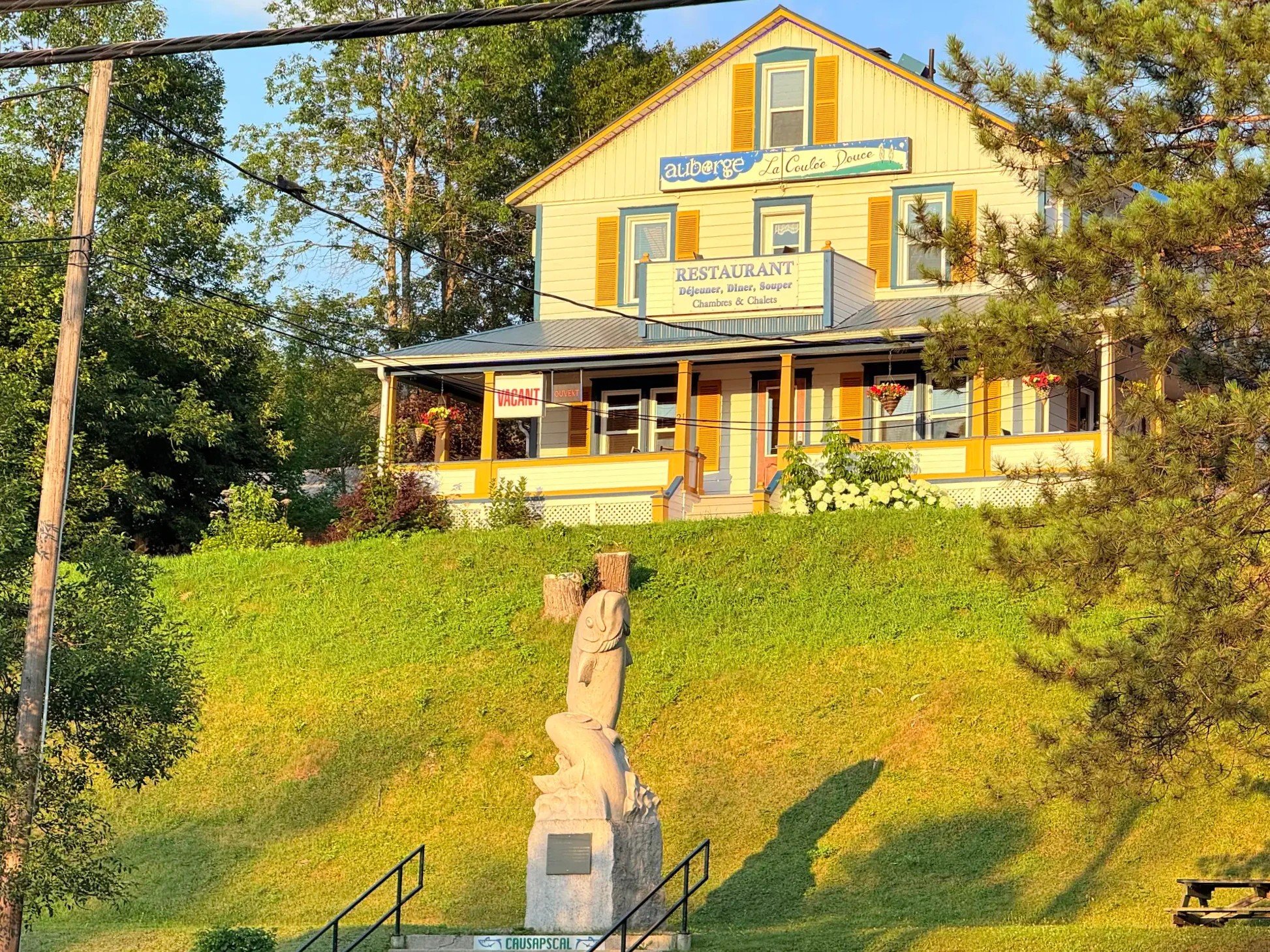
The town sits where the Matapédia and Causapscal rivers meet, and it’s known for Atlantic salmon fishing. Someone was fly fishing at the water’s edge, and salmon decorations turned up all over town. We didn’t see any salmon, but the idea of fish making their way up this river was remarkable enough that we stood watching the water for a good while.
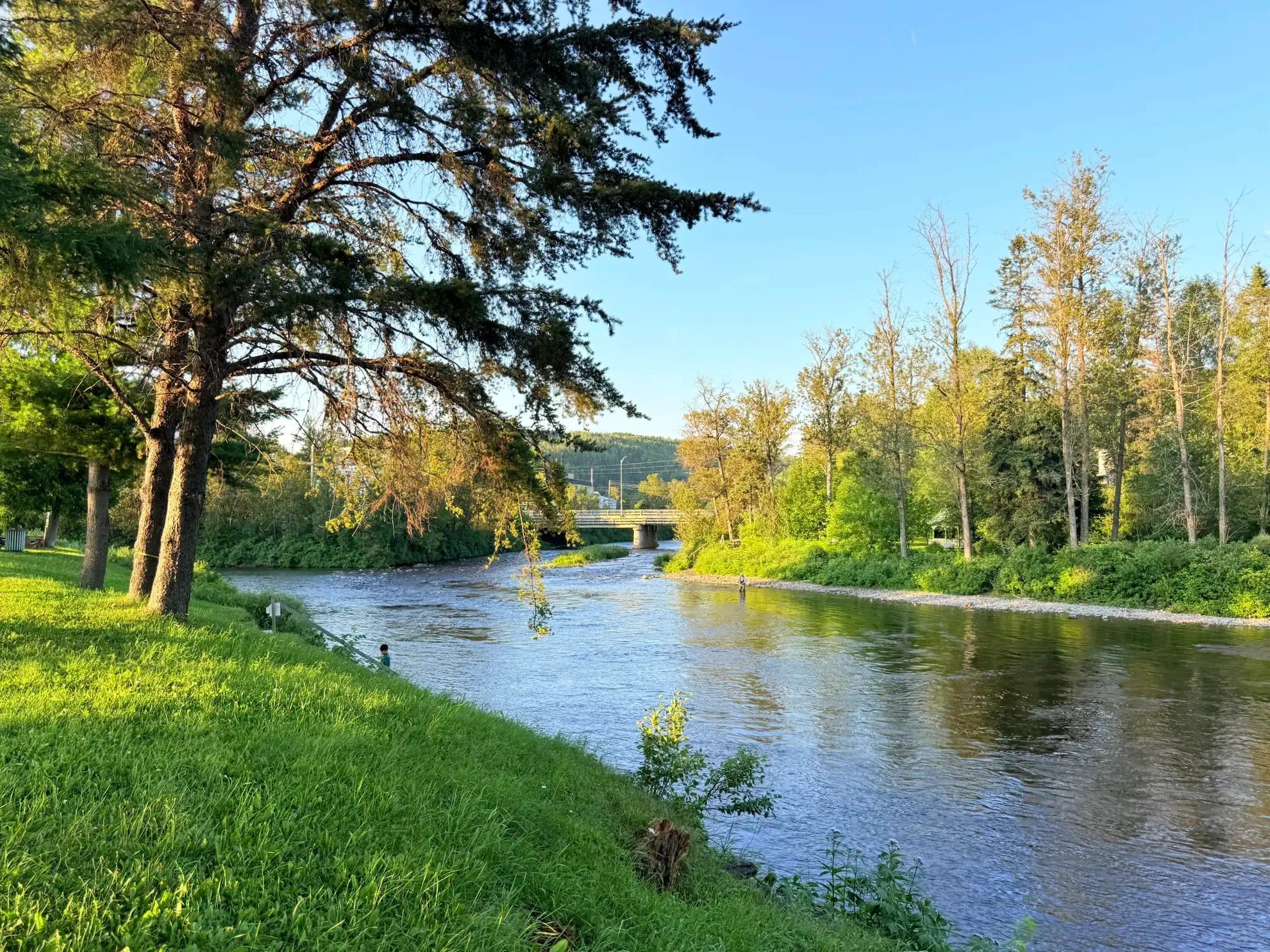
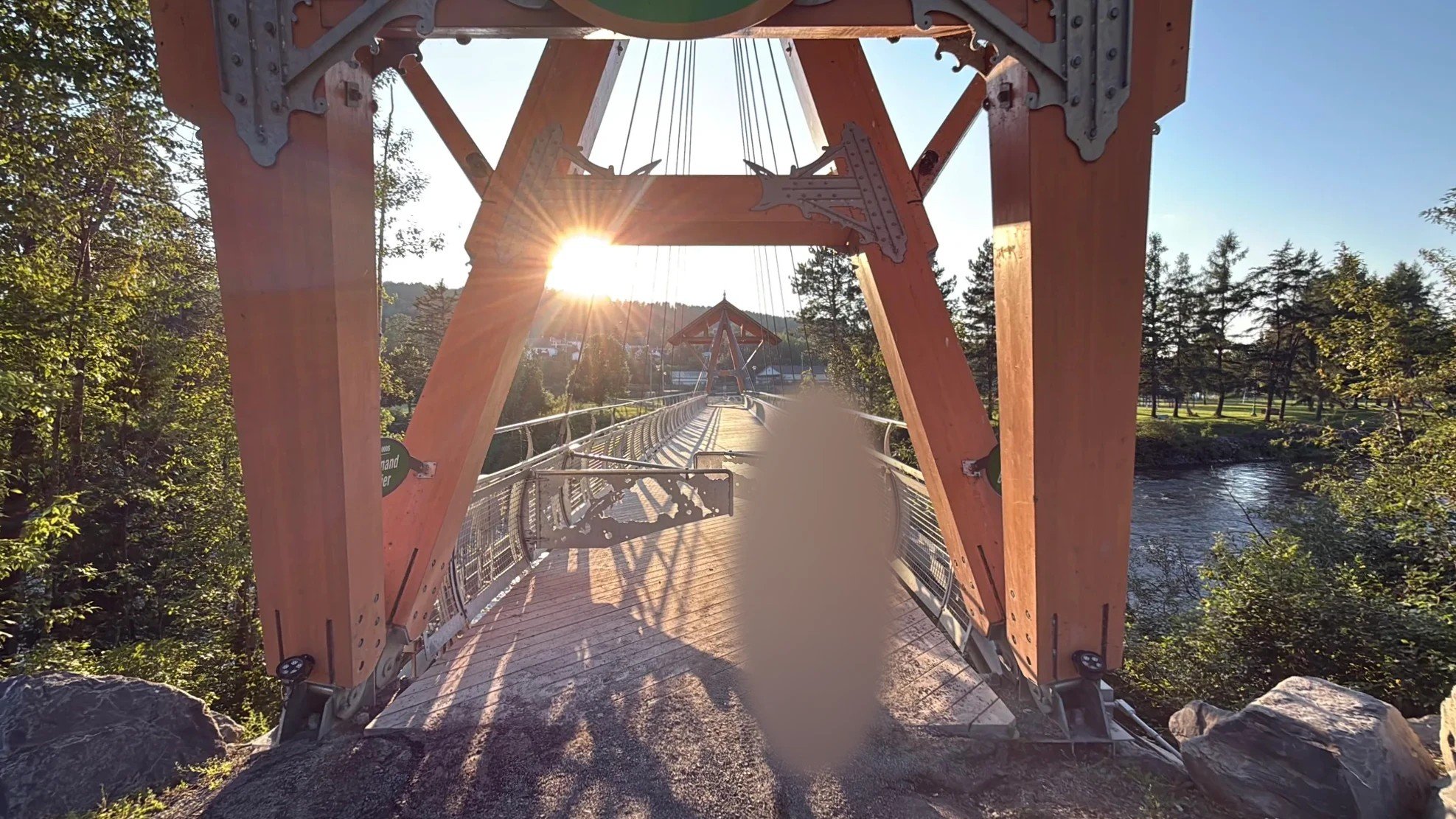
Where the two rivers meet is the Matamajaw salmon fishing heritage site (Site patrimonial de pêche Matamajaw). George Stephen (later Lord Mount Stephen) bought the land as a salmon fishing estate in 1873. In the early 20th century it became a private salmon fishing club for New York businessmen, and today it’s a museum. You can also see salmon up close in its salmon pool (Québec Maritime).
The Routhierville covered bridge
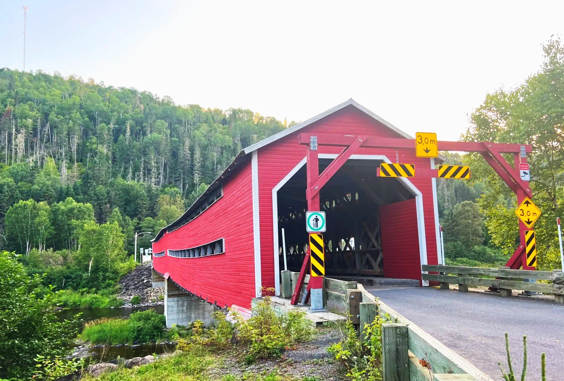
About 20 minutes farther down Route 132, we spotted a red wooden bridge over the river and pulled over. This is the Routhierville covered bridge (Pont de Routhierville). Built in 1931, it’s a wooden bridge 78.5 m (258 ft) long, the longest in the Bas-Saint-Laurent region, and it was designated a heritage monument in 2009. A 2010 restoration brought back its original deep red (La Matapédia). It was pretty, so we took photos and walked through it.
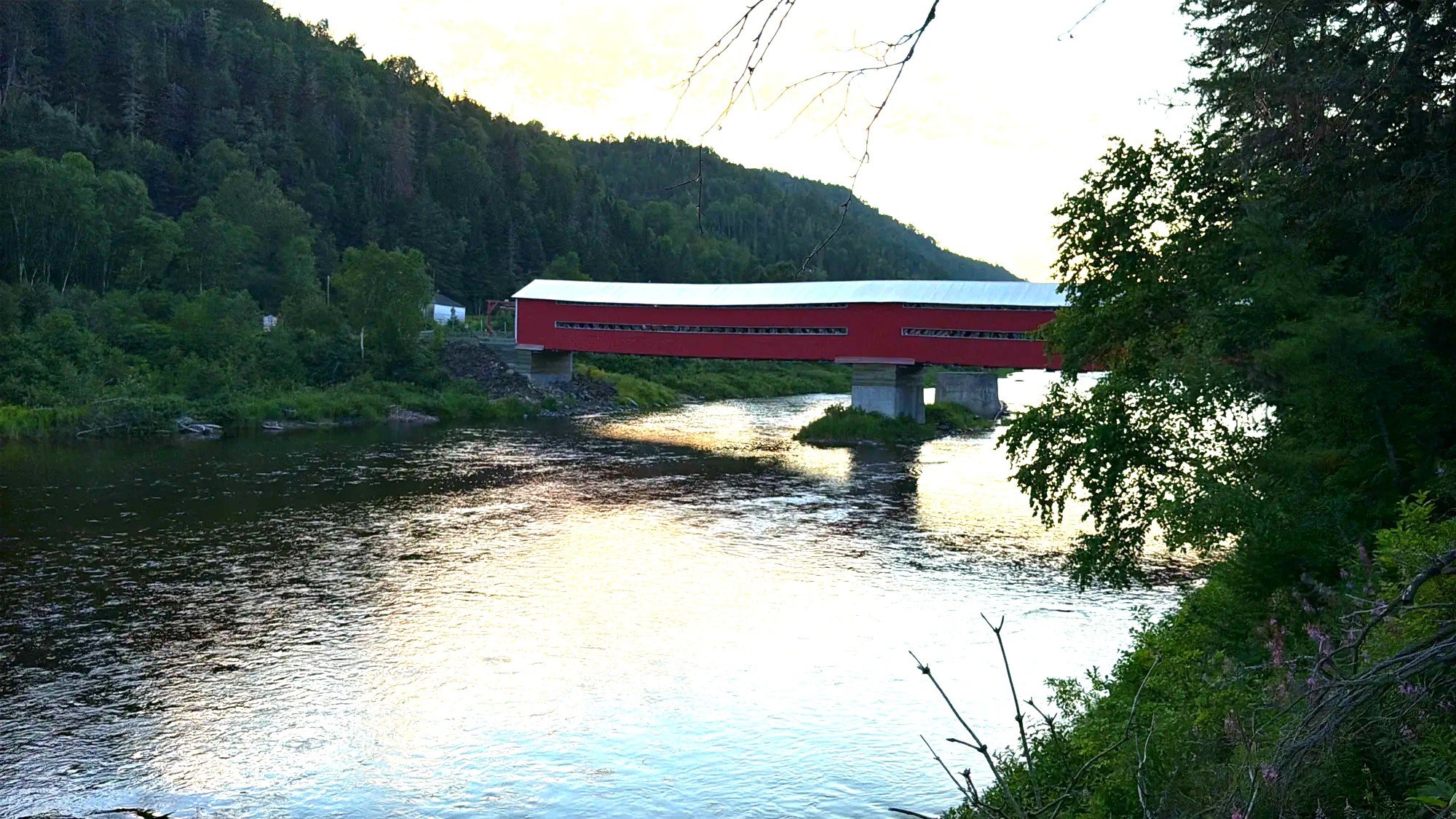
Covered bridges got their roofs to protect the wooden structure from rain and snow. Quebec once had more than a thousand of them; today there are fewer than 100, and a few of those are in the Matapédia Valley (Quebec cultural heritage directory).
If you’d rather see this route without a car, there is a three-day Gaspé tour from Montreal (Expedia). On the last day it returns from Campbellton to Montreal by way of Rimouski. It covers the Rimouski, Percé and Forillon areas. It doesn’t stop at the Pointe-au-Père lighthouse, the Routhierville bridge or Château Bahia.
Tide Head, New Brunswick: sunset on the river
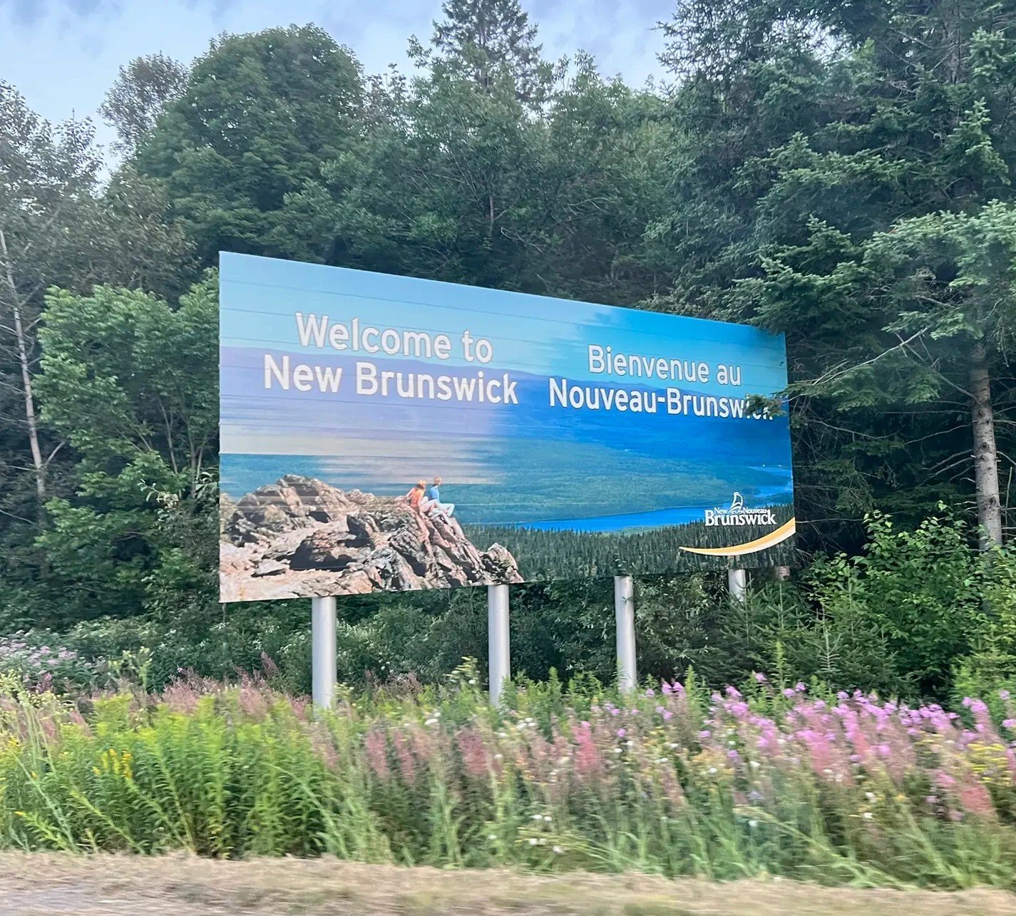
After leaving the valley, we crossed the Restigouche River and briefly entered New Brunswick. New Brunswick is an hour ahead of Quebec, so by the time we got there, the restaurant we’d planned on had already closed. We stopped at the beach in Tide Head (Tide Head) instead.
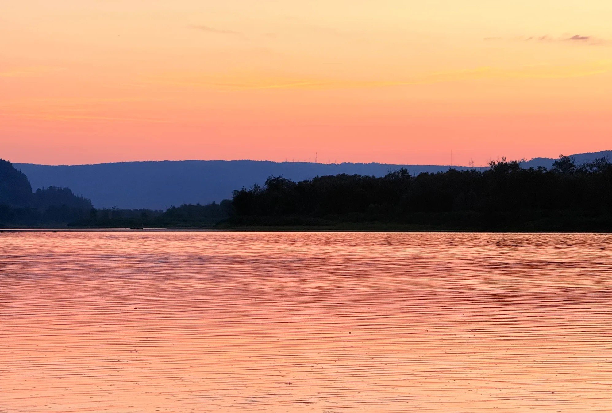
Tide Head takes its name from being the point on the Restigouche River where the tide’s reach ends. It was around sunset. We had paddleboards in the car and thought about trying them here, but with the sun going down we only looked at the scenery briefly and left.
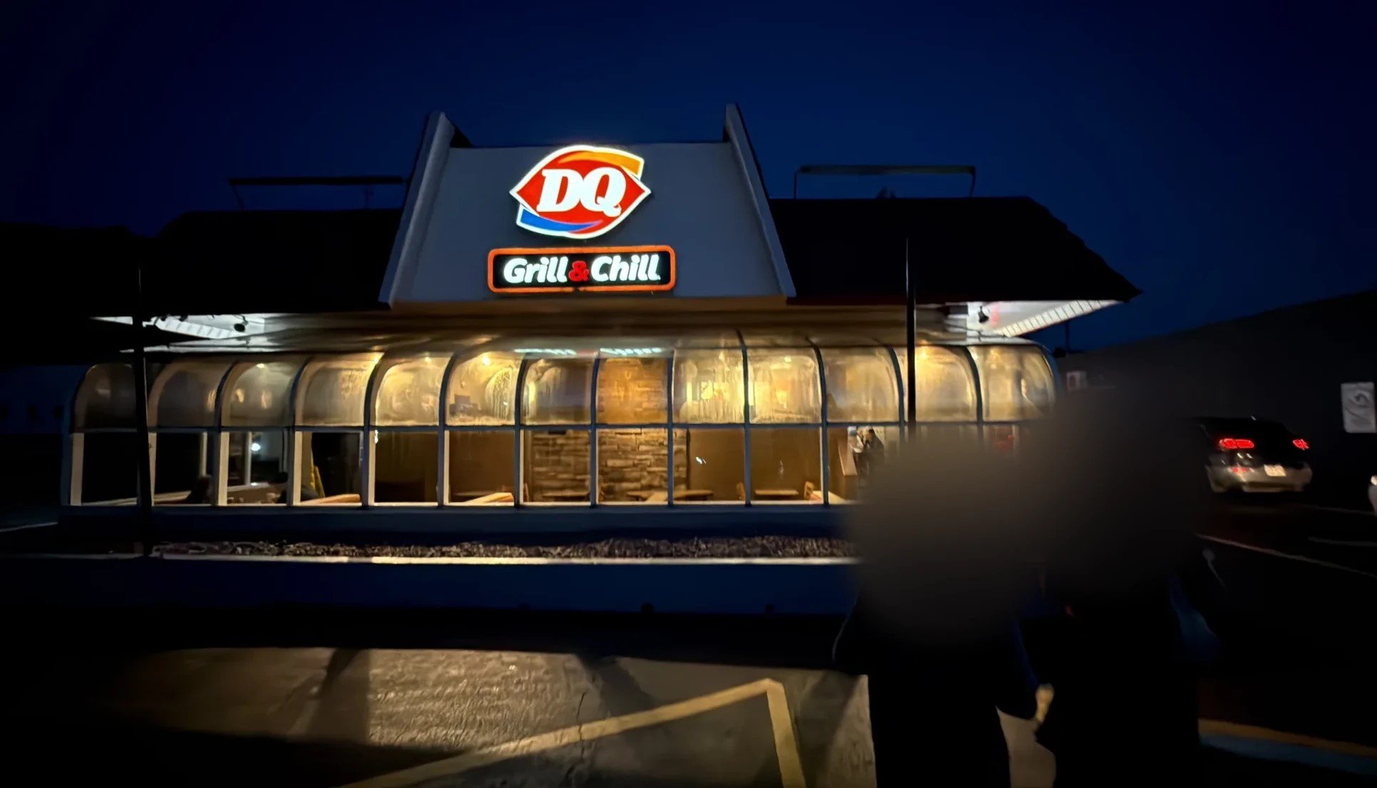
Dinner was at the DQ in Atholville (Atholville). It had good reviews, and we liked our meal too. Some DQs in Quebec sell mostly ice cream and no burgers, but this one was a DQ Grill & Chill with the full burger menu. It reminded us of eating at DQ now and then when we lived in the US.
First night at Auberge du Château Bahia
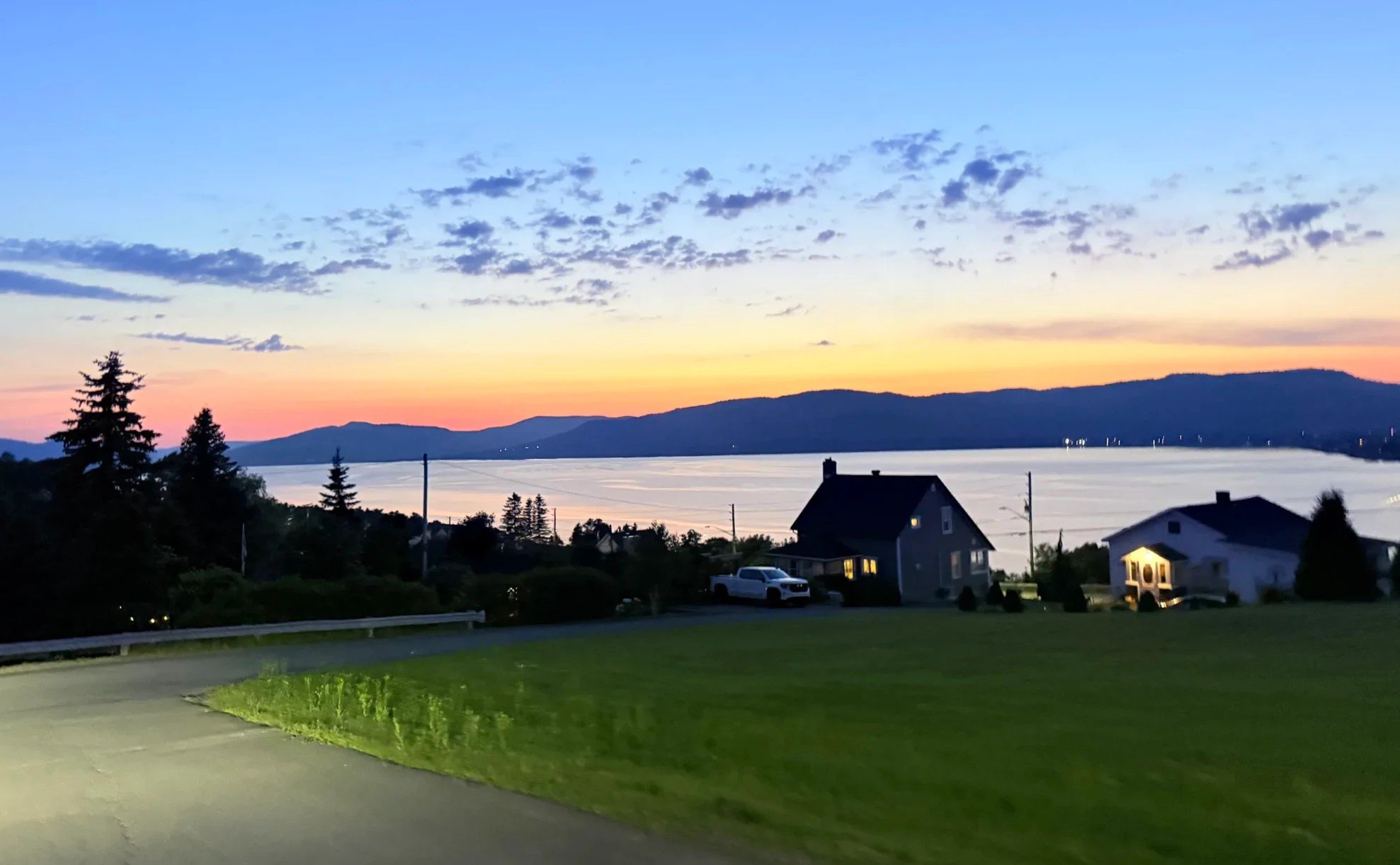
We crossed back into Quebec and checked in late at night at Auberge du Château Bahia in Pointe-à-la-Garde (Pointe-à-la-Garde). We turned off Route 132 onto a forest road, and at the end of it was a building shaped like a small castle with its lights on.
It looks medieval, but owner Jean Roussy (Jean Roussy) and his father built it themselves, starting in 1983 and working on it for 18 years. There are four towers, seven turrets and 12 rooms, and meals are served in a great hall. New owners have run it since 2021 (Québec Vacances).
There’s little light around the inn, and the sky was full of stars. We went out into the yard and looked up for a long time, and the Milky Way showed up in our photos. At night the inn lights up the trees in the woods with red lights, and together with the stars it gave the place a special feel.
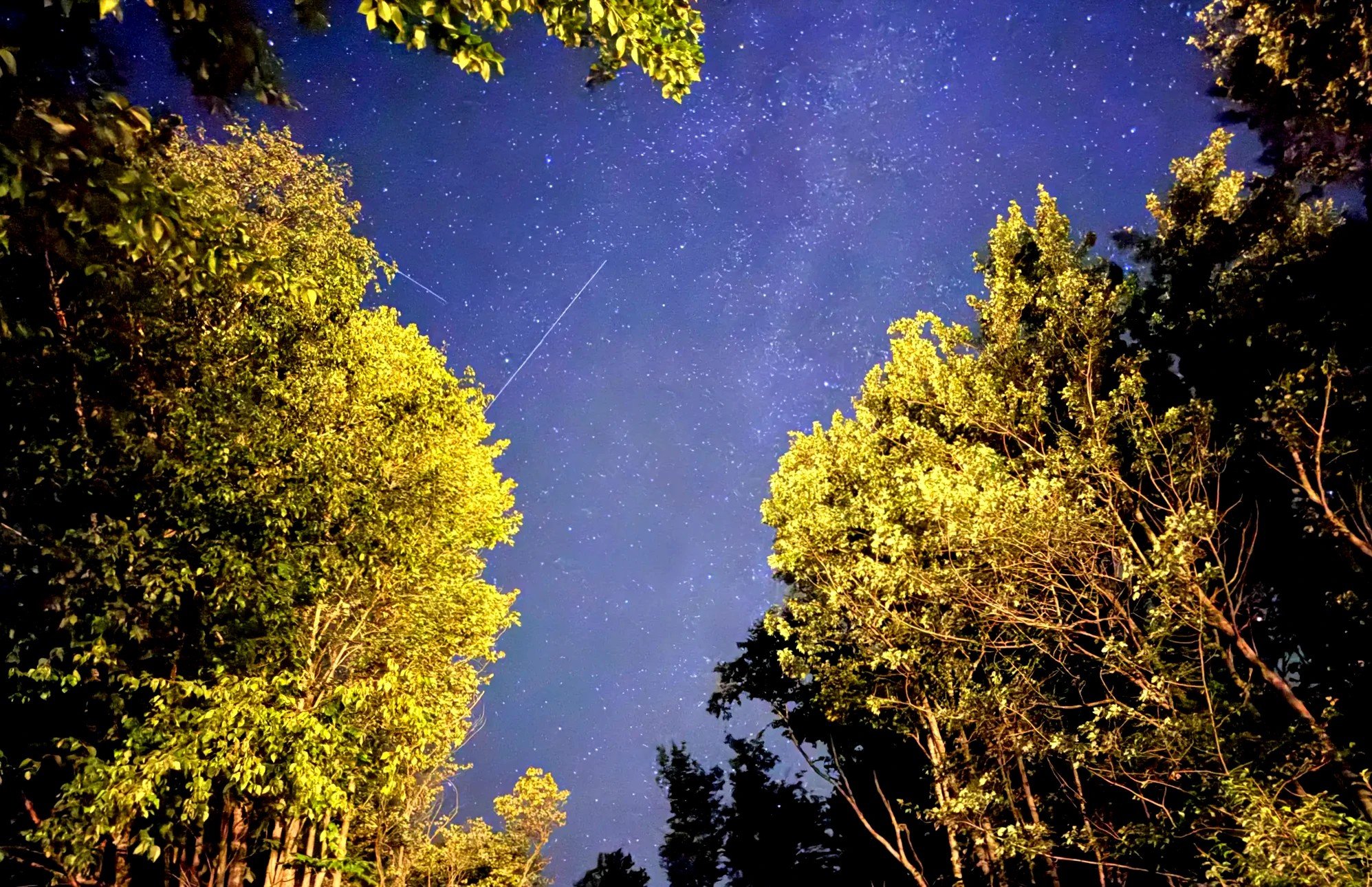
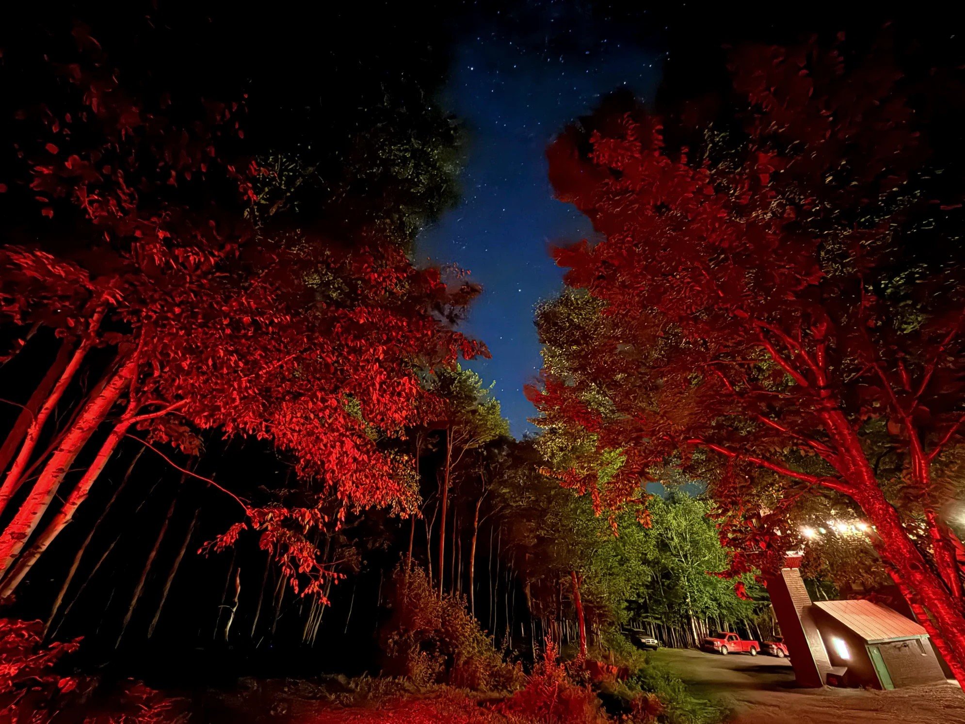
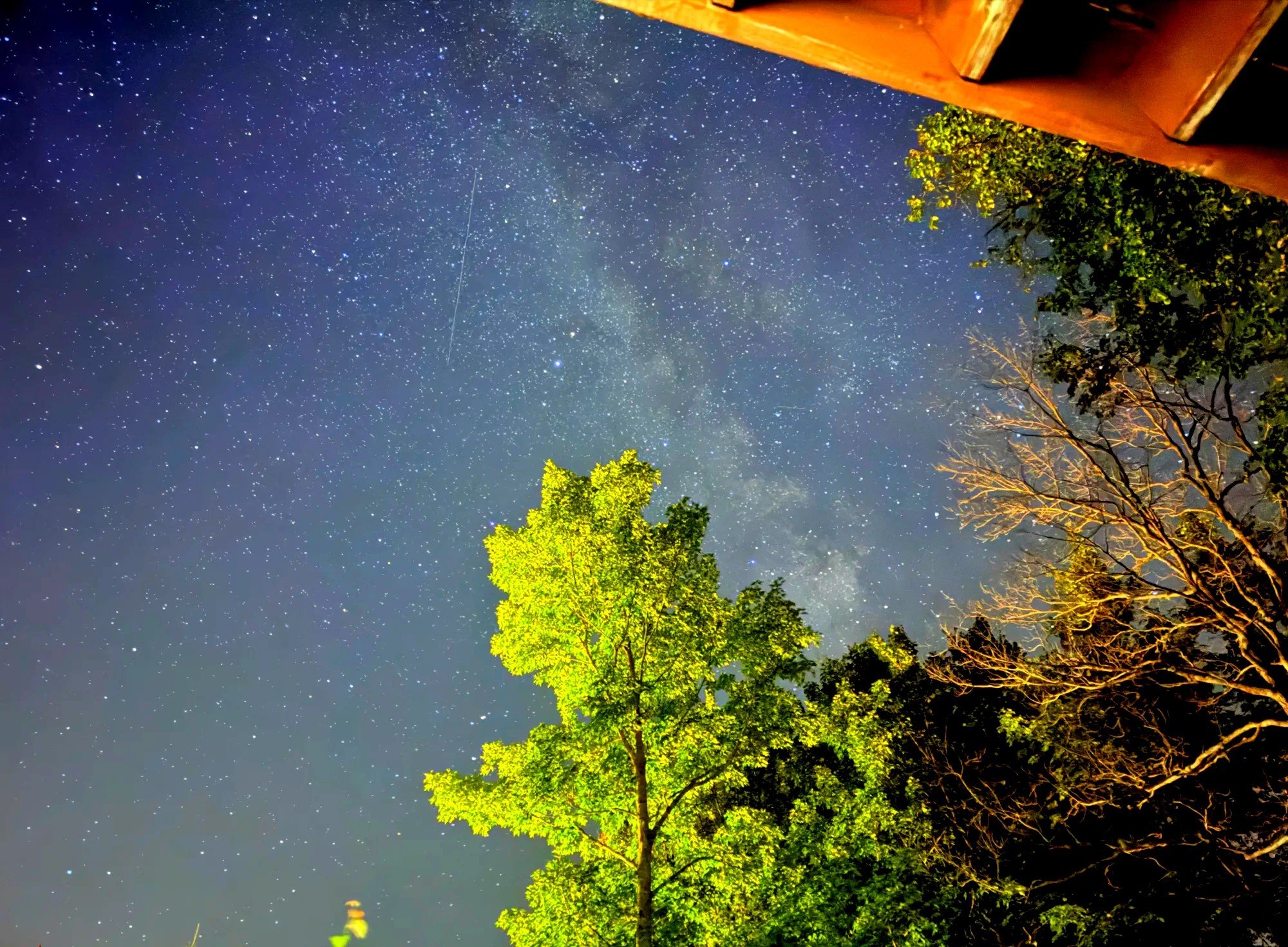
Seeing it again in the morning, we realized this is what the place looks like. It has a good, special atmosphere, and we’d stay here again the next time we pass this way.
Stay
Where we stayed tonight: Auberge du Château Bahia
Good to know
Day one distances and drive times
Montreal to DrummondvilleAbout 110 km (68 mi), a little over an hour
Drummondville to RimouskiClose to 5 hours on Highway 20
Rimouski to Pointe-au-PèreAbout 10 km (6 mi)
Pointe-au-Père to CausapscalA little over 2 hours through the Matapédia Valley
Causapscal to Château BahiaA little over 3 hours with a stop in Tide Head
Time zones
New Brunswick is on Atlantic Time, one hour ahead of Quebec. Restaurant hours around Campbellton follow New Brunswick time, so by a Quebec clock they close an hour earlier.
Pointe-au-Père Maritime Historic Site
Address1000 rue du Phare, Rimouski
What’s thereEmpress of Ireland museum, the Onondaga submarine, lighthouse climb (128 steps)
ParkingFree
Prices and hours change by season (Québec Maritime listing).
TermsWords used in this post
Quebec dish of fries topped with cheese curds and gravy
A wooden bridge with a roof and walls to protect it from rain and snow
River valley running from the St. Lawrence side down to Chaleur Bay (Baie des Chaleurs); the way into the Gaspésie’s southern route
FAQ
Can you drive from Montreal to the Gaspésie in one day?
We made it to the southern entrance of the Gaspé Peninsula in one day, but with our stops it meant leaving early in the morning and arriving late at night. Driving all the way to Percé in one go takes more than 12 hours behind the wheel.
Is Le Roy Jucep open for breakfast?
It was open when we got there at 8 a.m., and there was a breakfast menu.
Are there tours that cover this route?
Yes. In summer, 3-day Gaspé tours run from Montreal. One of them, the Concord Tours 3-day Gaspé trip (Expedia), passes Rimouski on day one on the way to Gaspé, visits Forillon National Park, Percé Rock and a boat trip to Bonaventure Island on day two, and returns to Montreal on day three by way of the Cap-Chat wind farm. That tour doesn’t stop at Pointe-au-Père.
There’s also a 3-day tour that includes Pointe-au-Père. On day one of the Take Tours 3-day Gaspé tour (162-6555), you climb the lighthouse at the maritime historic site, watch the Empress of Ireland film and see the submarine from outside. Entry to the site is optional and paid to the guide on the spot. We couldn’t find a tour that bundles just the submarine, museum and lighthouse; tickets are sold at the site.
Day one in brief
Time on the road8 a.m. in Drummondville to 10 p.m. at the inn
Longest stopThe tide pools by the Pointe-au-Père lighthouse, close to 2 hours
Where we stayedAuberge du Château Bahia, 1 night
Day one started with poutine and ended at a DQ, and most of it was driving. Still, the shrimp in the tide pools by the lighthouse, the red covered bridge over the river, the sunset on the river in New Brunswick and the stars over the inn kept the day long.
Map of the Montreal to Gaspésie drive
The map below shows the whole four-day, three-night loop. Day one runs from Montreal past Rimouski to Château Bahia.
Lines are simplified and don’t follow the actual roads exactly.
Getting around
This is a road trip
We drove around the peninsula from Montreal. If you’re flying in, rent a car in Montreal and drive the same loop.
Where to stay on day one
Where we stayedAuberge du Château Bahia See the stay box →
RimouskiStays in Rimouski if you break up the drive (Expedia)
Campbellton and CarletonStays in Campbellton and Carleton (Expedia)
Sources
- Wikipedia: Poutine
- Daily Hive: The history of poutine
- Québec Maritime: Pointe-au-Père Maritime Historic Site
- Québec Maritime: Matamajaw
- La Matapédia: Routhierville covered bridge
- Wikipedia: Tide Head, New Brunswick
Not in the list? Search it yourself
Places to stay nearby, on a map
Affiliate link: if you book through this search, the blog earns a commission at no extra cost to you. Results open in a new tab. About affiliate links
Discover more from Elsewhere, Mostly
Subscribe and get new posts sent straight to your inbox.