Winter Grand Circle series, part 8: Thursday, December 23, 2021, 2 p.m. to 7 p.m.
Bryce Canyon in winter: we came in on Utah Highway 12 at 2 p.m., watched late-afternoon light and falling snow over the snow-covered hoodoos, and had dinner at a restaurant outside the park.
- This postThe afternoon of day 7 on a counterclockwise winter Grand Circle road trip by rental car in December. We came down Utah Highway 12 from Capitol Reef into Bryce Canyon National Park, walked the Rim Trail from Sunrise Point to Sunset Point, went a short way down the Two Bridges side of the Navajo Loop, and left after watching the canyon at sunset as snow began to fall. We ate dinner outside the park at Bryce Canyon Pines and drove on to Zion. The route map is at the end of this post, under “Where it is and how to get there.”
- LocationSouthern Utah, on a plateau at about 7,900 ft (2,400 m). About 2 hours 10 minutes from Torrey on Highway 12, about 4 hours from Las Vegas and about 2 hours to Zion National Park.
- Date and weatherDecember 23. Within two or three hours it went from cloudy to clear and back, then fog rolled in and it snowed. Snow from about 5 p.m. Sunset around 5:15 p.m. Snow lay on the roads and viewpoints, and the trails were icy in places.
- StopsVisitor center 35 minutesSunrise Point 50 minutesRim Trail Sunrise Point to Sunset Point, about 0.5 mi (0.8 km)Navajo Loop, Two Bridges side 30 minutes, a short way into the canyon and backAround Sunset Point sunset and the canyon in falling snowBryce Canyon Pines dinner, 1 hr 10 min
- AdmissionWe got in with a national parks annual pass. As of October 2026 the fee is $35 per vehicle (good for seven days); from 2026, non-US residents age 16 and over pay an extra $100 per person. With an annual pass there’s no extra fee.
- BookingWe didn’t book anything. If you’d rather not drive, there’s a Bryce Canyon and Zion day tour from Las Vegas
- Where we stayedThat night: Zion Lodge, inside Zion National Park (next post)
- WhoThe three of us (one kid)
- RouteThursday, December 23, afternoon to evening
- Park entrance, visitor centerSights35 minGift shop, park map
- 🚗 Park road, 5 min
- Sunrise PointViewpoint50 min8,015 ft (2,443 m)
- 🚶 Rim Trail, 0.5 mi (0.8 km), 25 min
- Sunset Point, Navajo LoopWalk30 minPart of the Two Bridges side
- Views around Sunset PointViewpoint1 hrSunset, snow
- 🚗 Highways 63 and 12, 10 min
- Bryce Canyon PinesDinner1 hr 10 min
- 🚗 US 89 and UT 9, snowy roads, 2 hr 15 min
- Arrive at Zion LodgeLodgingNext post
Contents
Down Utah Highway 12 to Bryce Canyon
We drove about two hours on Utah Highway 12 from Capitol Reef and reached the Bryce Canyon National Park entrance around 2:10 p.m. As we neared the entrance, the Bryce Canyon National Park sign came into view, with snow that hadn’t melted lying along both sides of the road. The park sits on a plateau at over 7,900 ft (2,400 m), which is probably why there was far more snow here than at Capitol Reef, where we’d been that same morning.
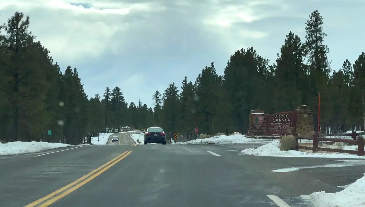
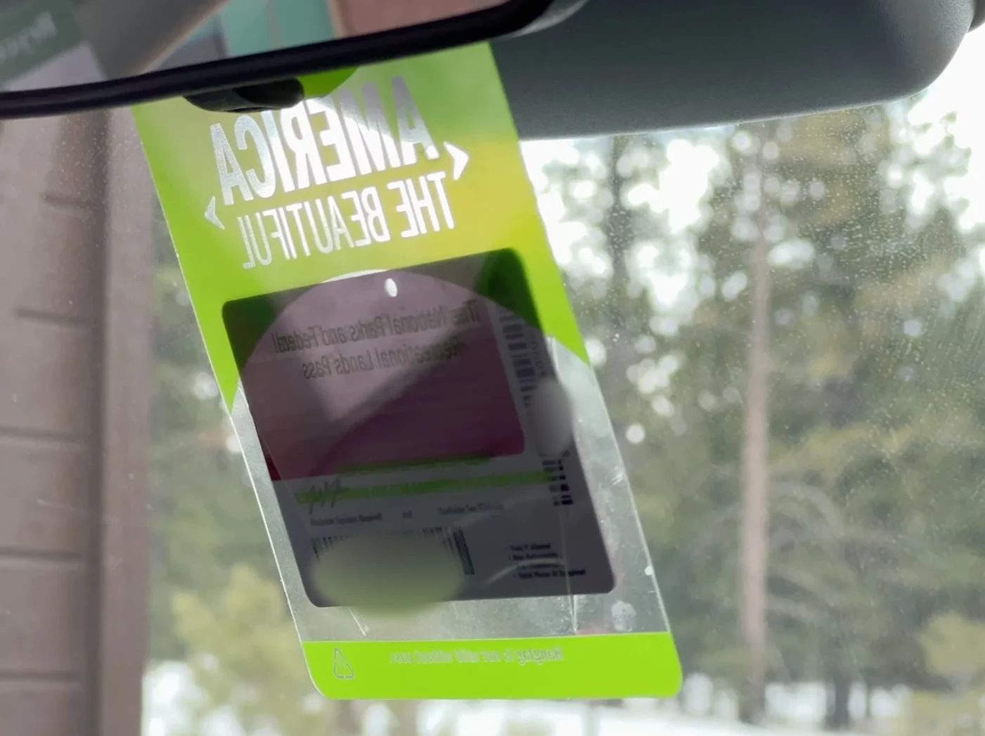
At the entrance we showed the national parks annual pass we used for the whole Grand Circle and drove on. Without it, we’d have paid $35 for the car.
Maps first at the visitor center
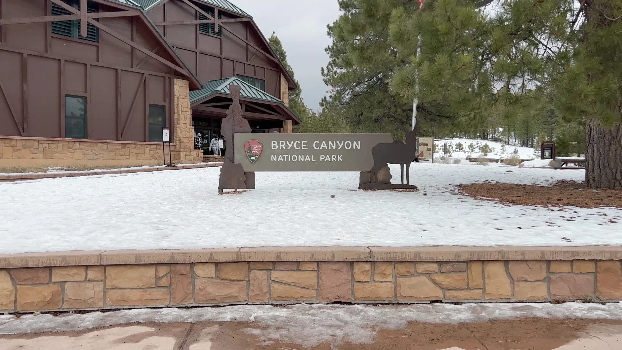
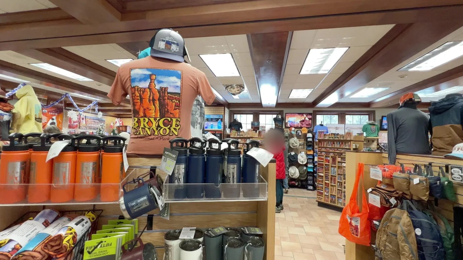
The visitor center comes up just a short way along the park road. In winter the sun sets early, so we stopped to decide what to see first. Inside is a bookstore and gift shop run by the Bryce Canyon Association, packed with hoodoo T-shirts, water bottles and hats. We picked out a few souvenirs. The National Park Service recommends traction devices (cleats or microspikes) in winter, and the bookstore here sells them too.
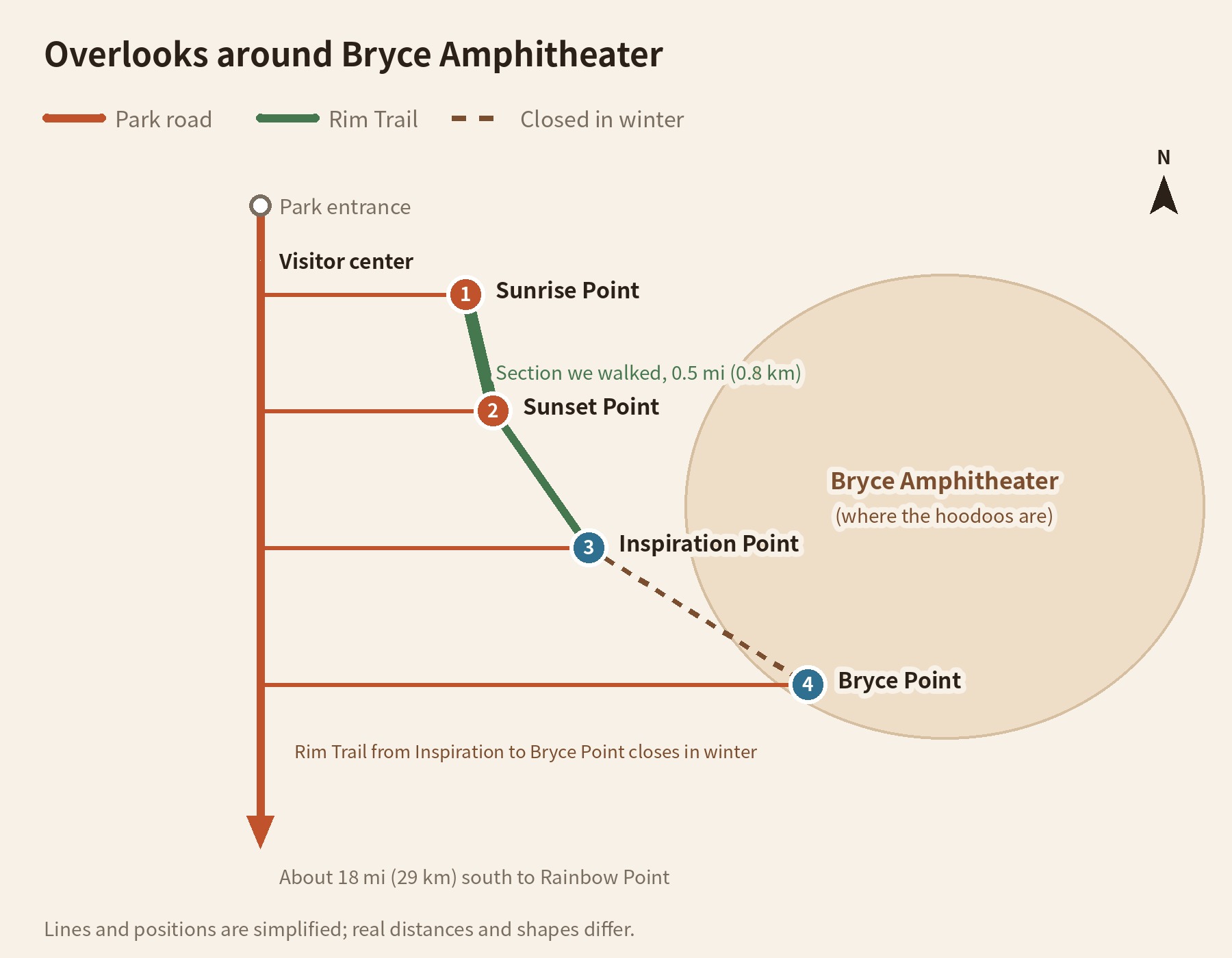
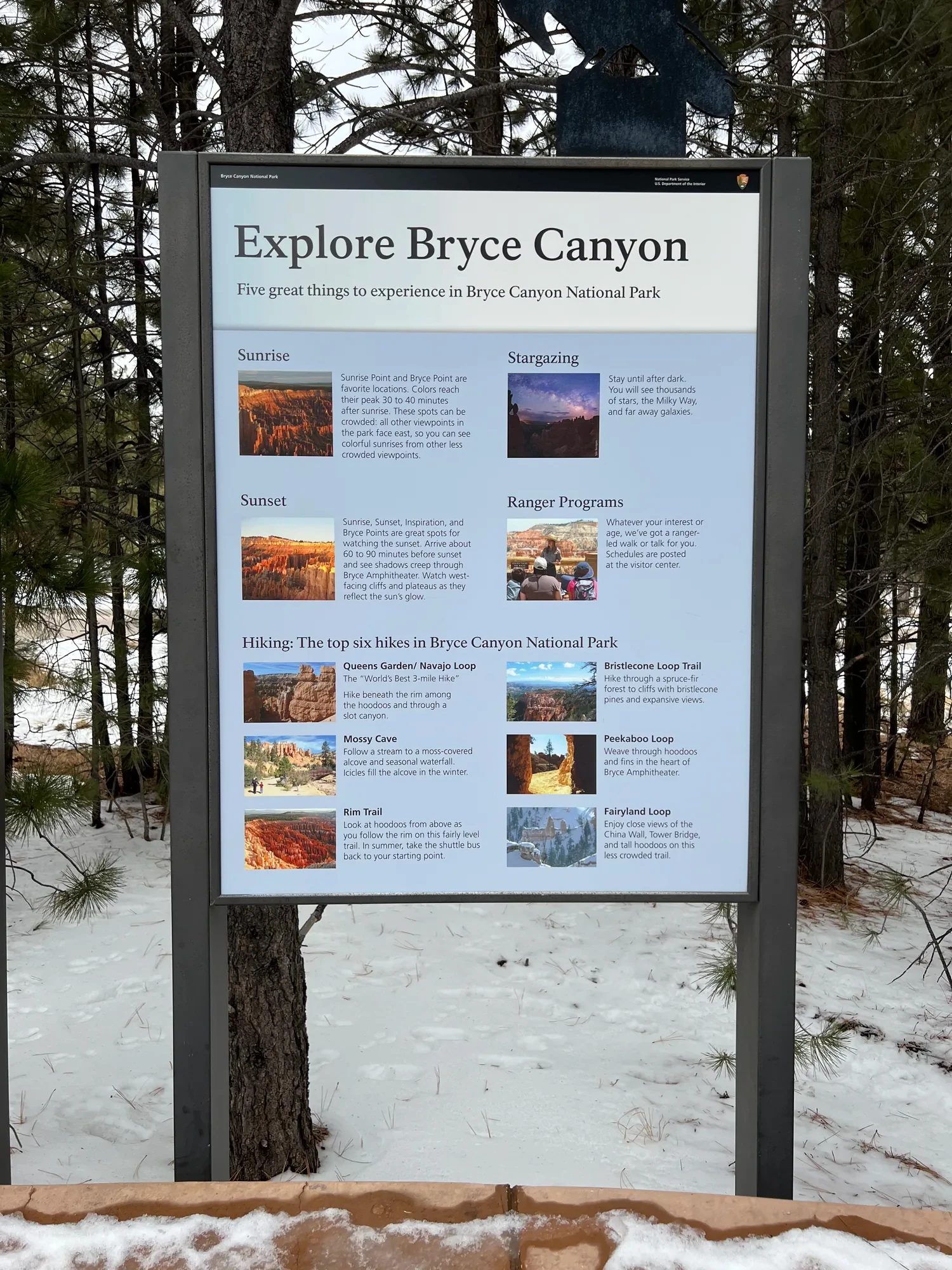
The park road runs about 18 mi (29 km) south to Rainbow Point, but for a short winter visit, the area around Bryce Amphitheater near the visitor center is enough. Four viewpoints, Sunrise, Sunset, Inspiration and Bryce Point, ring the half-moon-shaped canyon, and the Rim Trail links them. After looking at the map board, we decided to park at Sunrise Point and walk the Rim Trail to Sunset Point.
What Bryce Canyon actually is
Despite the name, Bryce isn’t really a canyon carved by a river. It’s closer to an amphitheater, where the edge of a plateau has crumbled away in a half circle. Inside, red and white rock spires stand packed together like a forest. These spires are called hoodoos. Goblin Valley’s mushroom rocks go by the same name, but the ones here are much thinner and taller.
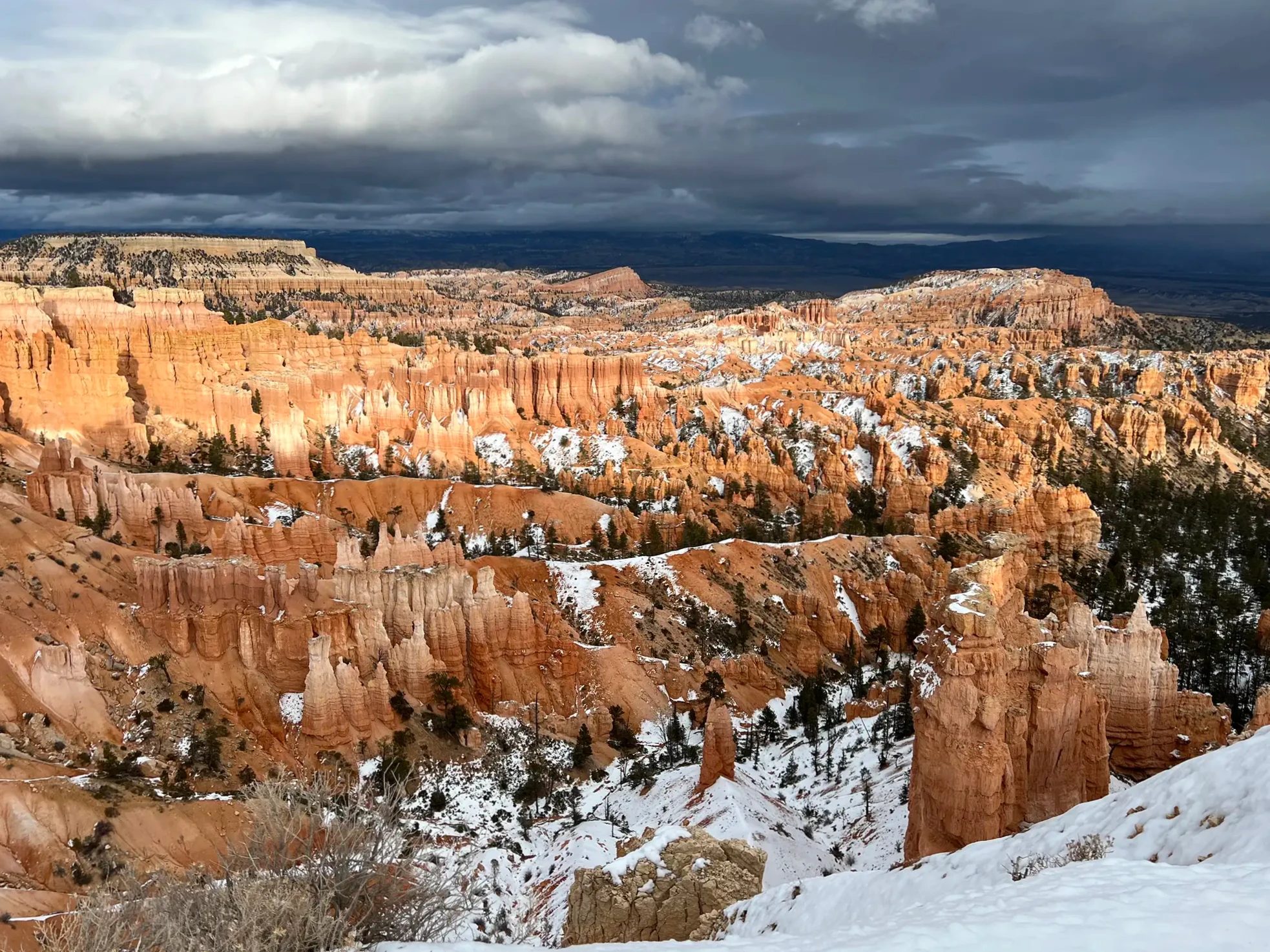
The rock is limestone and mudstone laid down about 50 million years ago on the bottom of Lake Claron, which once covered this area. According to the National Park Service, Bryce goes through more than 170 days a year of freezing at night and thawing by day. Snowmelt seeps into cracks, freezes overnight and expands by about 9 percent, prying the cracks wider. Over and over, walls become windows, windows collapse, and hoodoos are what’s left. Visiting in winter, we could almost see that process at work: snow sat on the top of every hoodoo and in every crack.
The park takes its name from Ebenezer Bryce, a settler who lived in the valley below in the 1870s. The story goes that he called it a perfect place to lose a cow. It became a national monument in 1923 and a national park in 1928.
Bryce Canyon is about 270 miles (430 km) from Las Vegas, roughly a four-hour drive. People who recommend doing the Grand Circle counterclockwise say to save standout places like Zion and Bryce Canyon for later in the trip. We came to Bryce Canyon on the afternoon of day 7 of a counterclockwise loop. At that distance from Las Vegas, day tours are popular too.
Tours
Bryce Canyon tours from Las Vegas
Sunrise Point: first look at a snowy amphitheater
We parked at the Sunrise Point lot around 2:50 p.m. Snow lay on both sides of the short path out to the overlook, but the path itself had melted clear, so it was an easy walk. The sign gives the elevation as 8,015 ft (2,443 m).
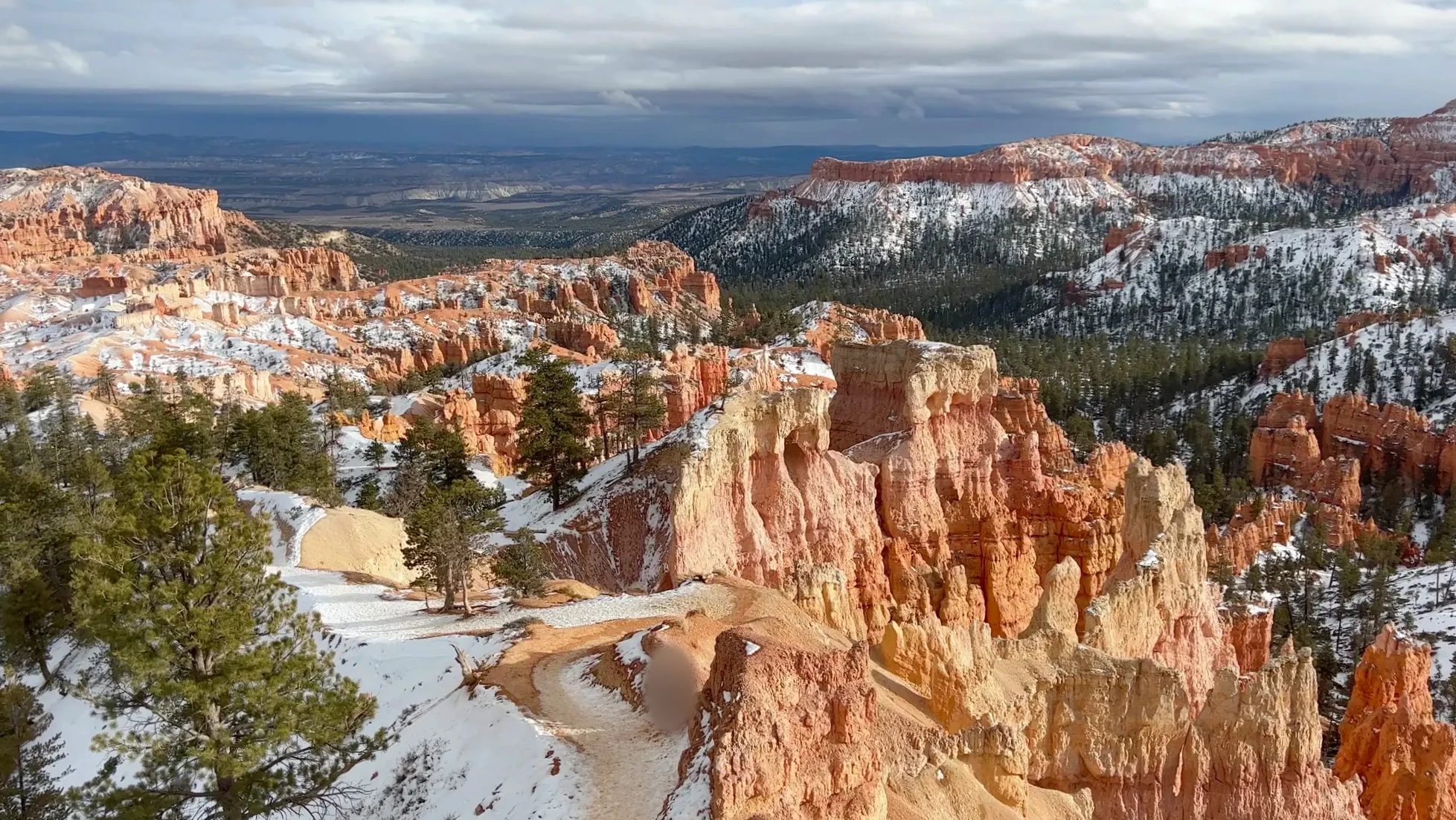
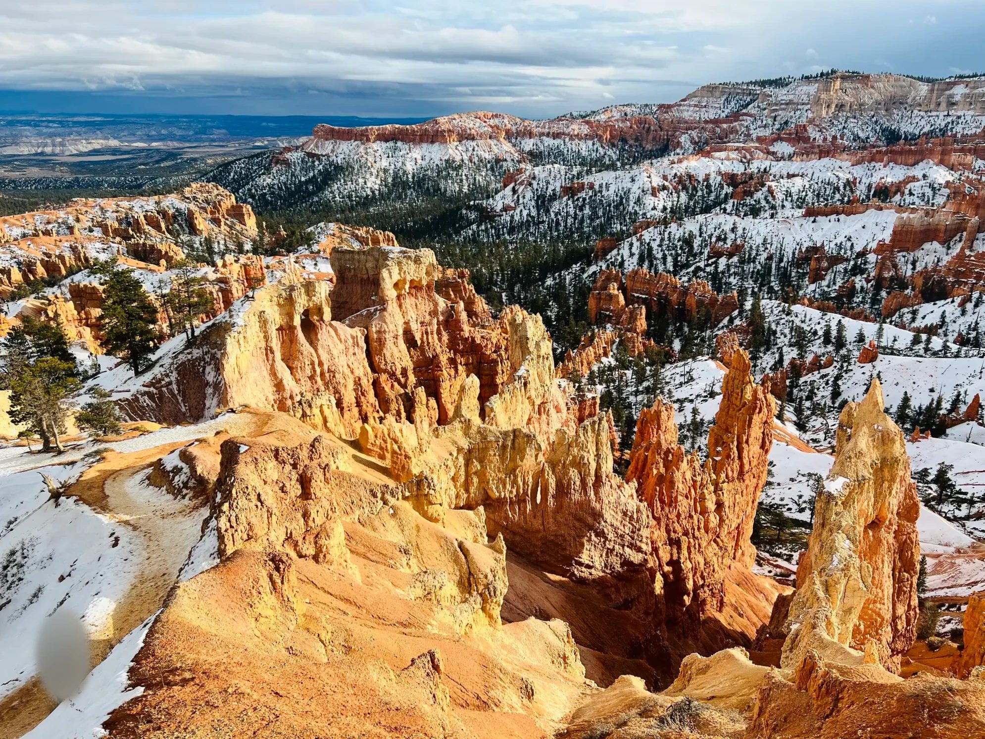
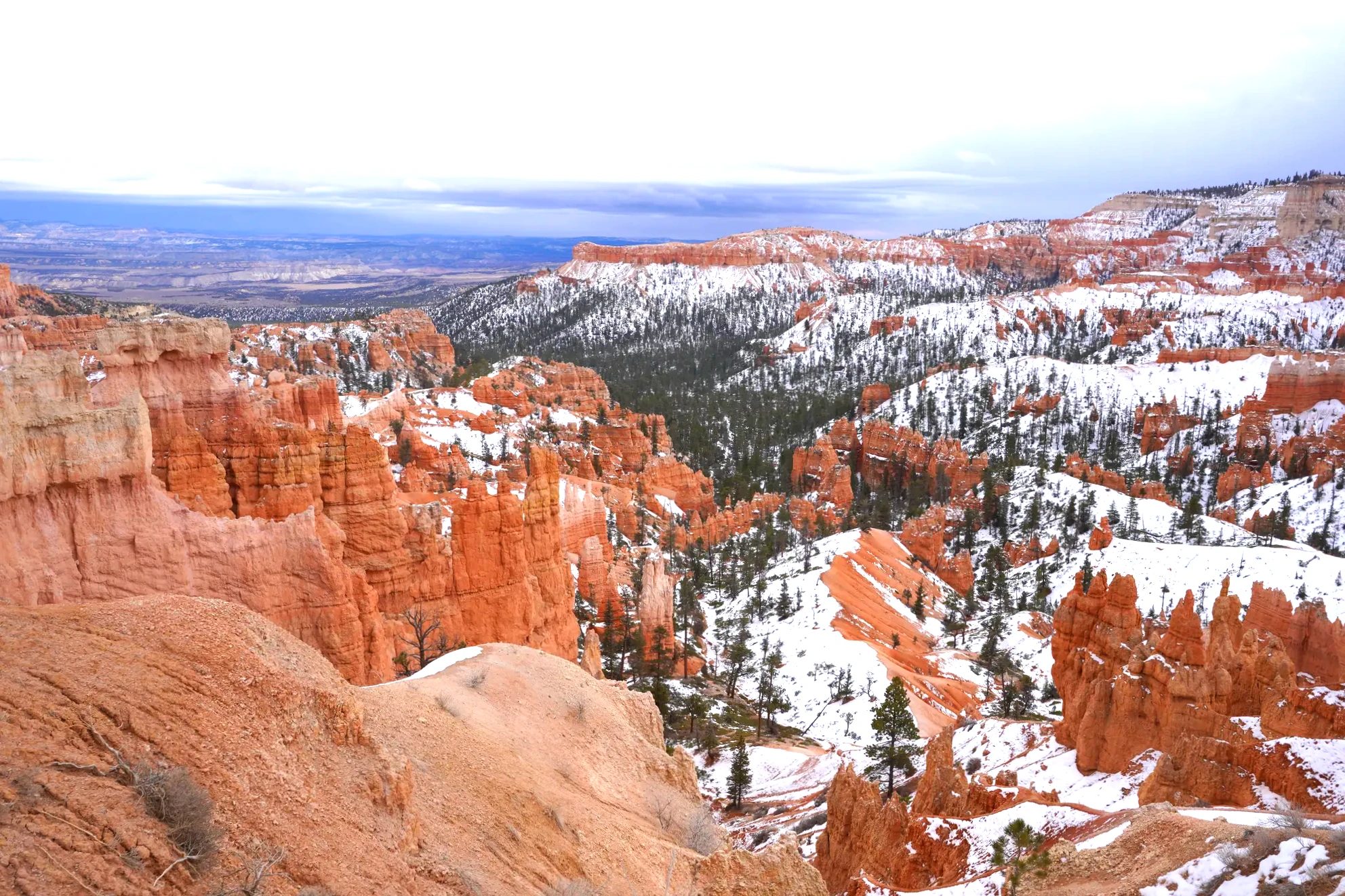
From the end of the overlook, the half-circle landform called an amphitheater opened up below. What made winter worth it was the color. White snow lay between the orange hoodoos, with green pines and junipers mixed in, three colors together. The sky was overcast, and every time the sun broke through the clouds for a moment, the hoodoos lit up.
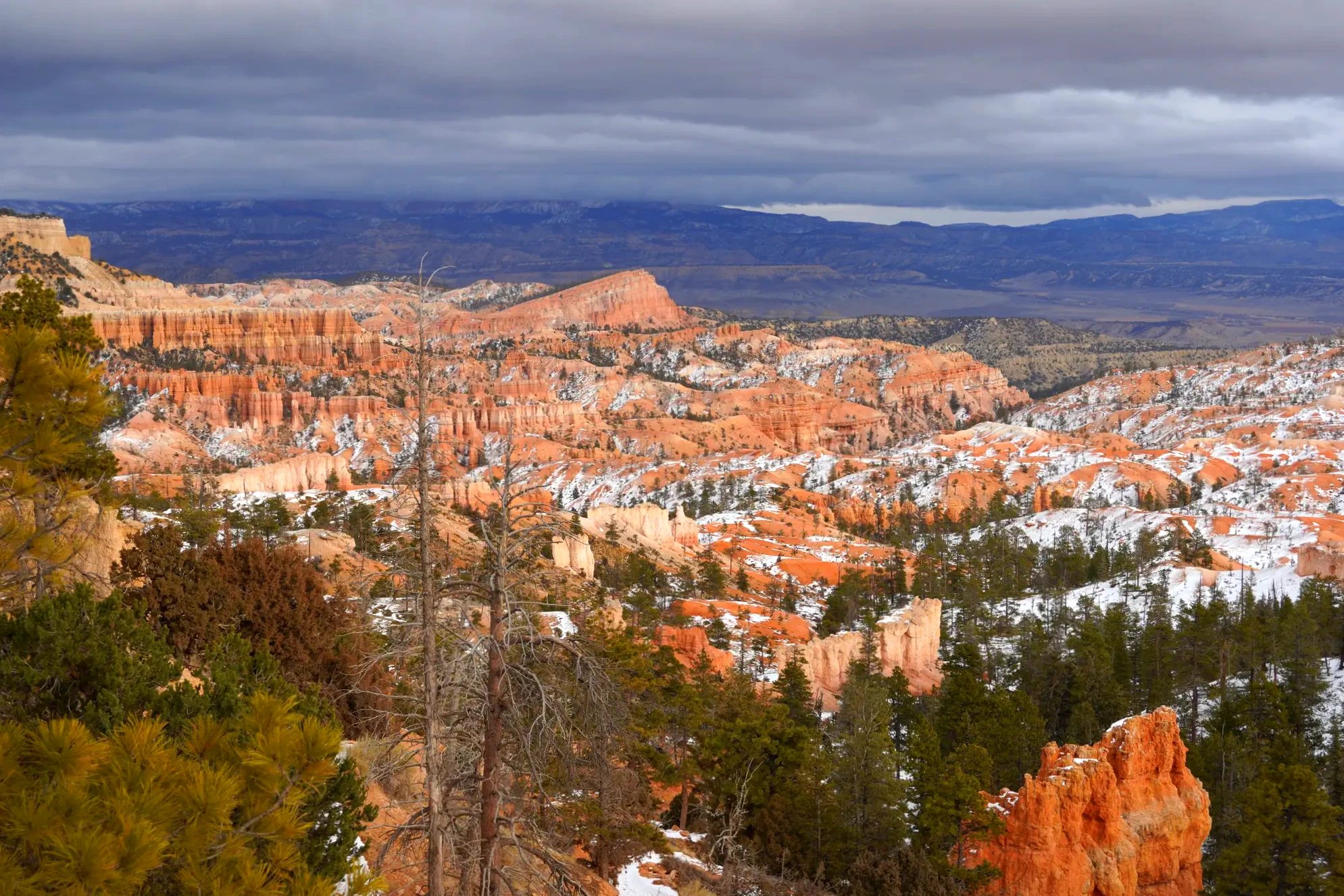
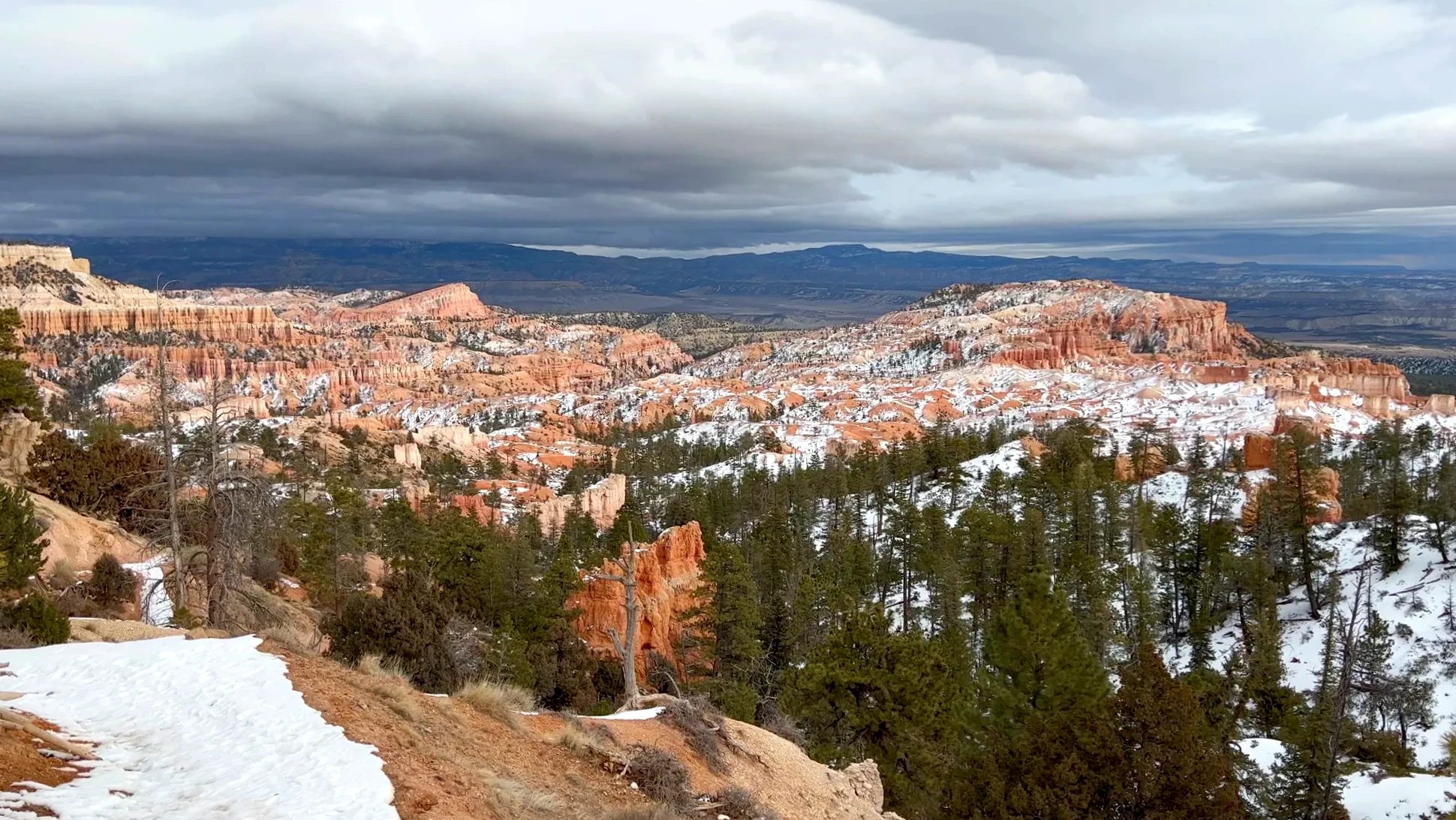
We looked through the park brochure with our kid. It has drawings of hoodoos, windows and walls, so on the short walk we matched the pictures to the landscape in front of us, and our kid had fun with it. The thin spires are hoodoos, the ones with holes are windows, and the long ridges are walls.
Along the Rim Trail to Sunset Point
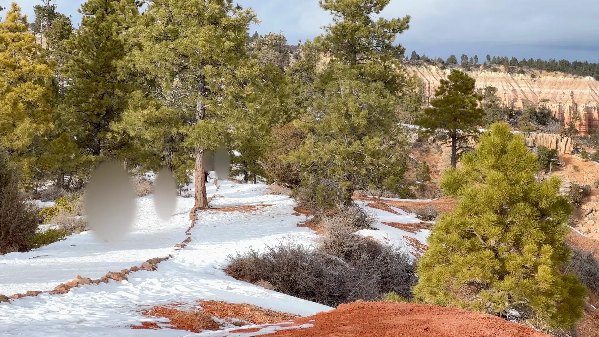
Around 3:40 p.m. we left Sunrise Point and walked south on the Rim Trail toward Sunset Point. The two overlooks are about half a mile (0.8 km) apart, with almost no up and down. The Rim Trail was snowy and icy. The trail follows the canyon edge, and the view shifted a little every few steps. Where the snow was packed down, we watched for slick spots as we walked.
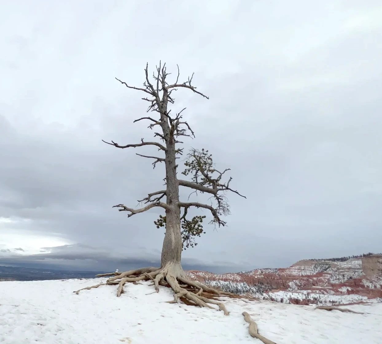
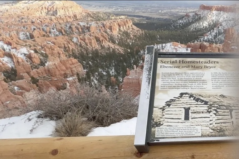
Near Sunset Point we came to a sign about Ebenezer and Mary Bryce, the couple the park is named after. It tells the story of a settler family who lived in the valley below for a few years and then moved on.
A short way down the Navajo Loop (Two Bridges side)
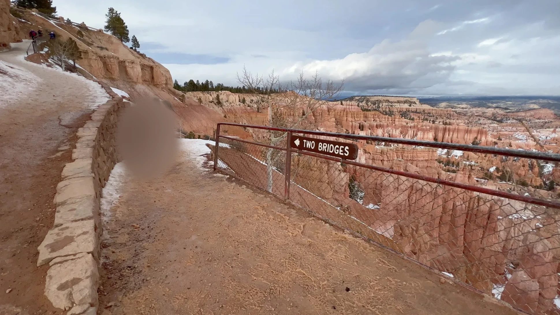
We reached Sunset Point around 4:05 p.m. This is where the Navajo Loop starts its descent into the canyon. The loop is 1.3 miles (2.2 km) with about 550 ft (168 m) of elevation change, and it splits into two ways down. One is Wall Street, which switchbacks down between narrow walls. The other is Two Bridges.
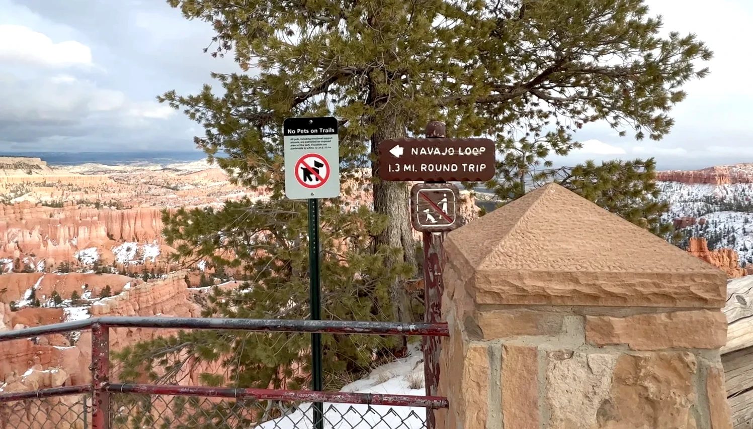
In winter, the Wall Street side closes. The National Park Service closes it in months when precipitation and freezing overnight temperatures come together, and only the Two Bridges side stays open year-round. When we were there, the Wall Street sign was fenced off. We started down the trail marked Two Bridges.
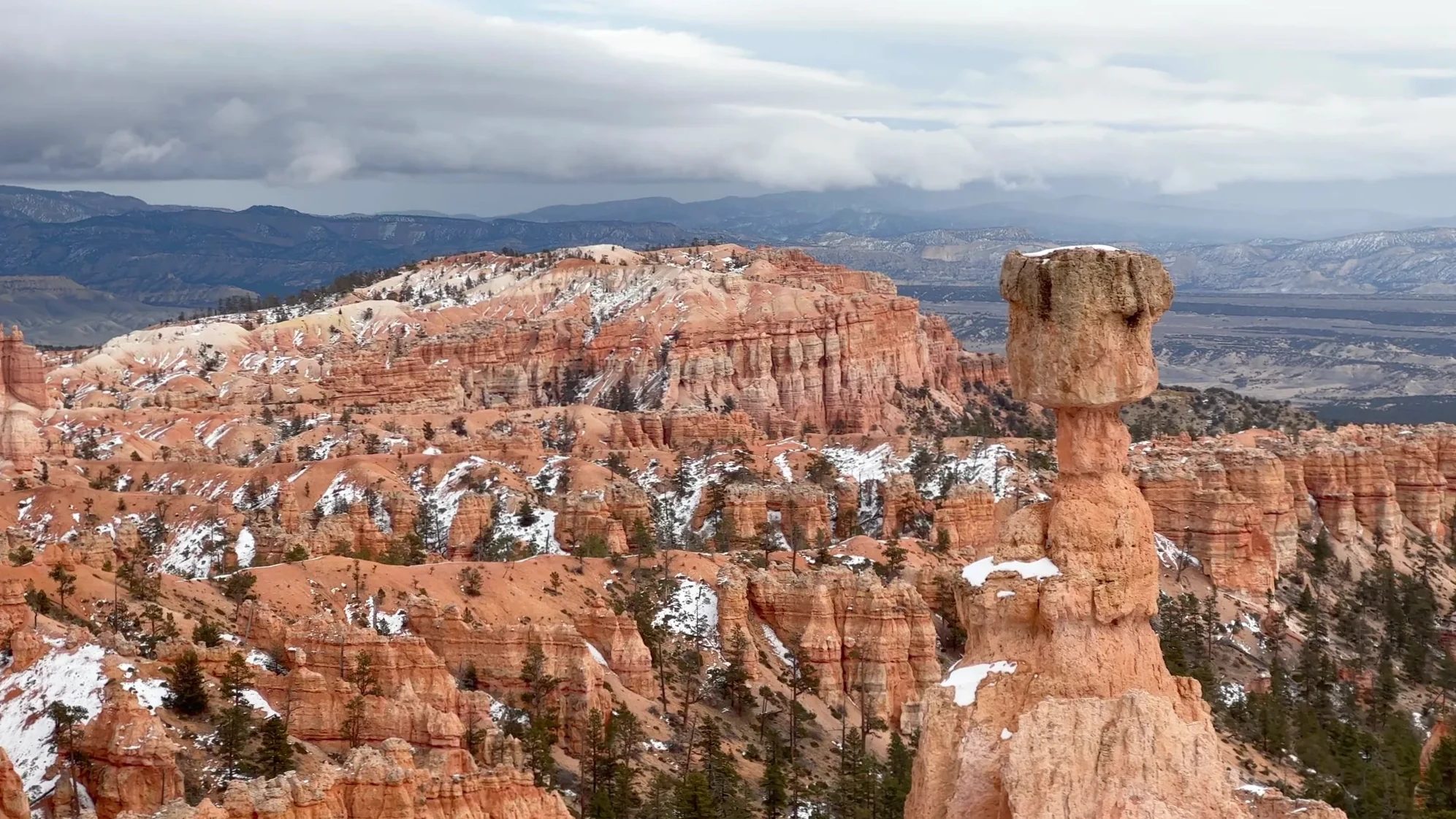
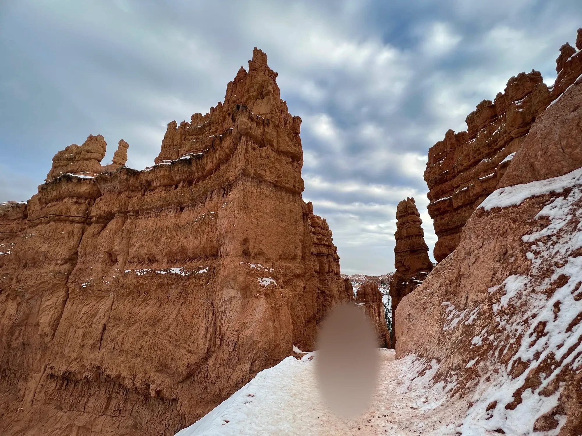
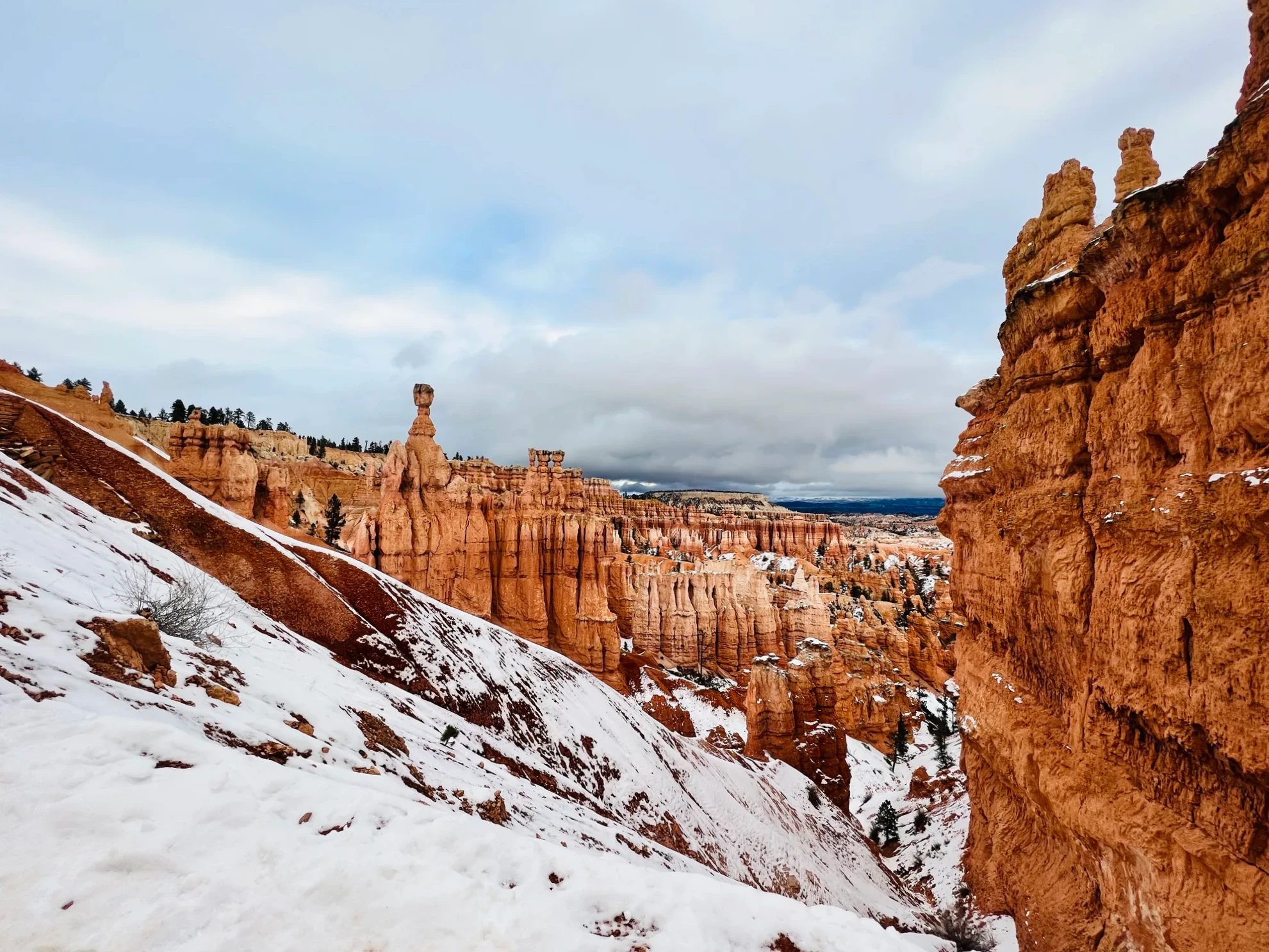
A little way down, a rock wall on the left side of the trail showed two holes, like a pair of eyes. It looked like a face wearing a mask. Beyond it stood a thin hoodoo with a big rock balanced on top: Thor’s Hammer, the most famous hoodoo in Bryce Canyon. It’s named for the hammer carried by Thor, the Norse god of thunder.
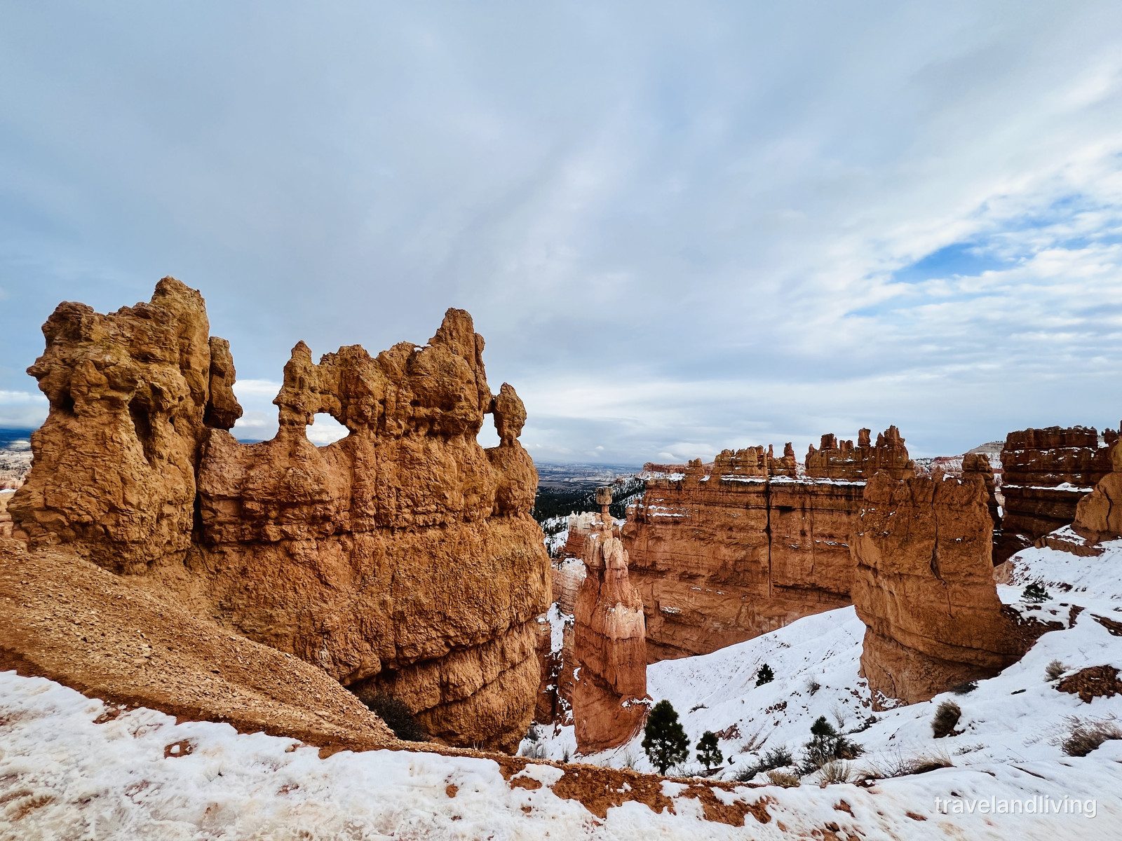
This spot was a treat because the whole story of how Bryce’s landforms take shape fits in a single frame. As the National Park Service explains it, the plateau edge erodes into thin walls, ice works into a wall until a hole opens and it becomes a window, and when the top of the window collapses, a lone pillar is left: a hoodoo. The rock wall with the holes is the window; Thor’s Hammer behind it is the hoodoo. All three things our kid and I had been hunting for in the brochure, in one place.
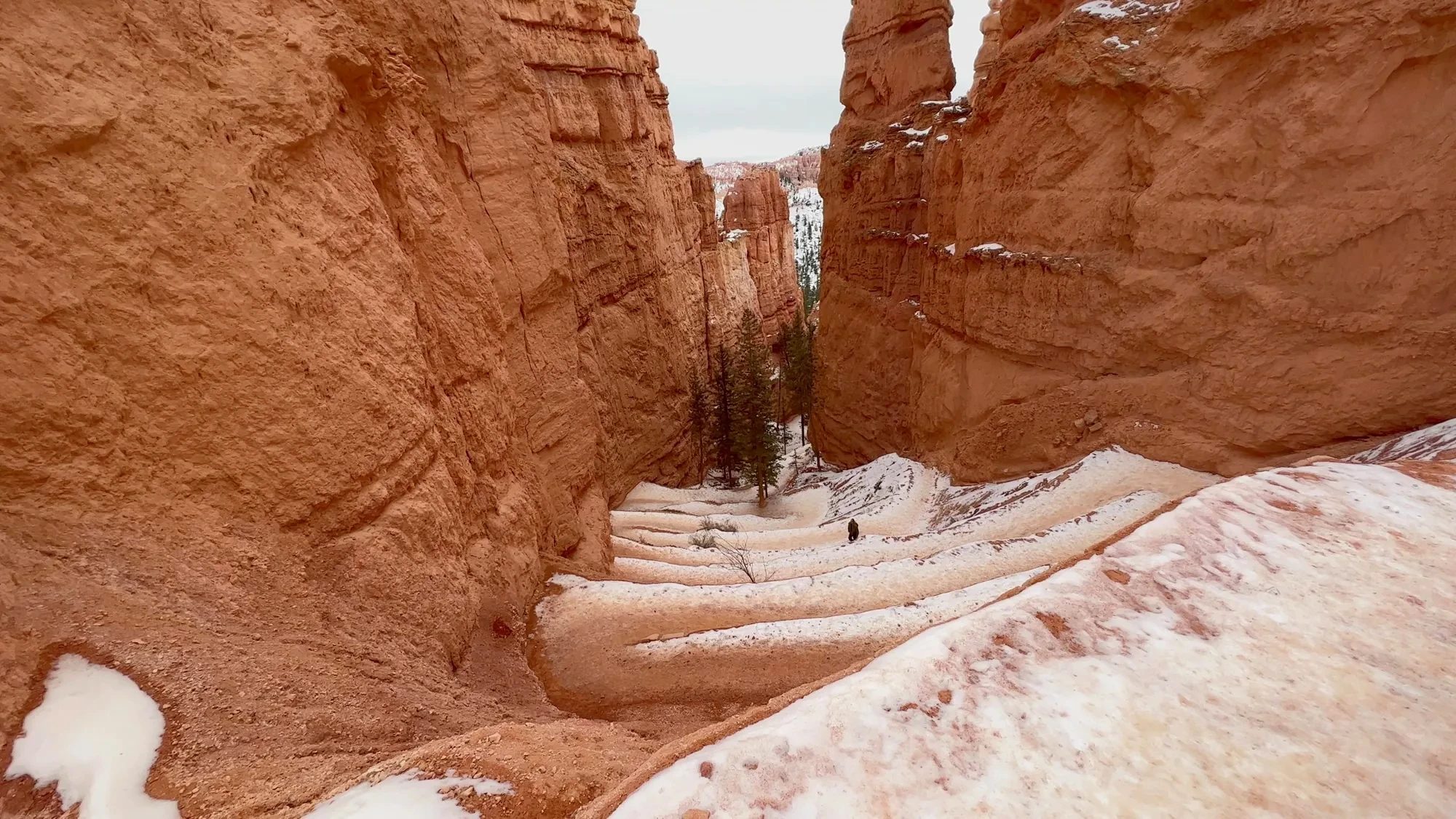
The trail grew narrower and deeper. Looking down, we could see the Two Bridges trail switchback between red walls, heading down. People with proper footwear were hiking down to the bottom and back up. We wanted to be back at the overlook for sunset, so we went only as far as the deep section between the rock walls and then climbed back out.
Sunset light, then snow
Around 4:40 p.m. we were back up on the rim near Sunset Point. It had been a cloudy day, but toward sunset the light came through a gap in the clouds and caught the spiky hoodoos. Only the hoodoos in the sun came alive in orange; the shaded ones sank into pink and purple.
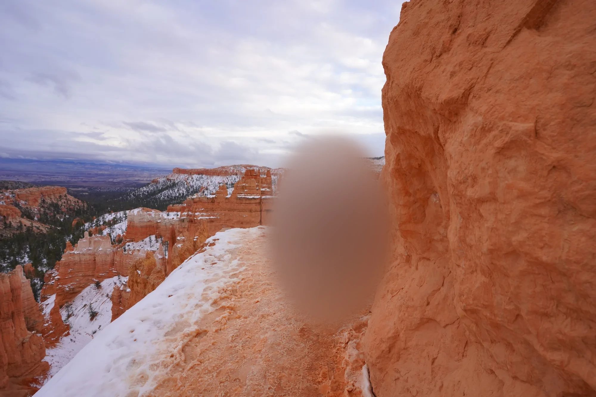
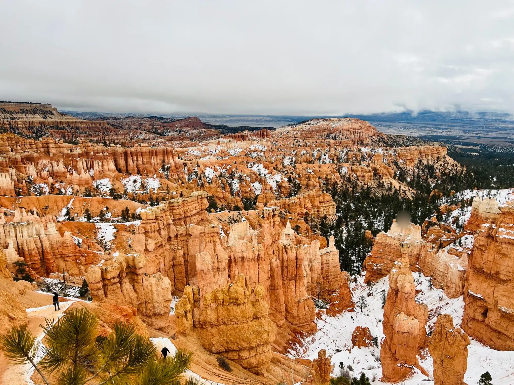
The weather changed several times in a short stretch that afternoon. Cloudy, then clear, then fog rose out of the canyon, and around 5 p.m. it started to snow. It was the first time in all our travels that we’d been snowed on at a famous sight. We saw a bit of sun and falling snow from the same spot. As the snow got heavier, the hoodoos across the way disappeared into the fog one by one.
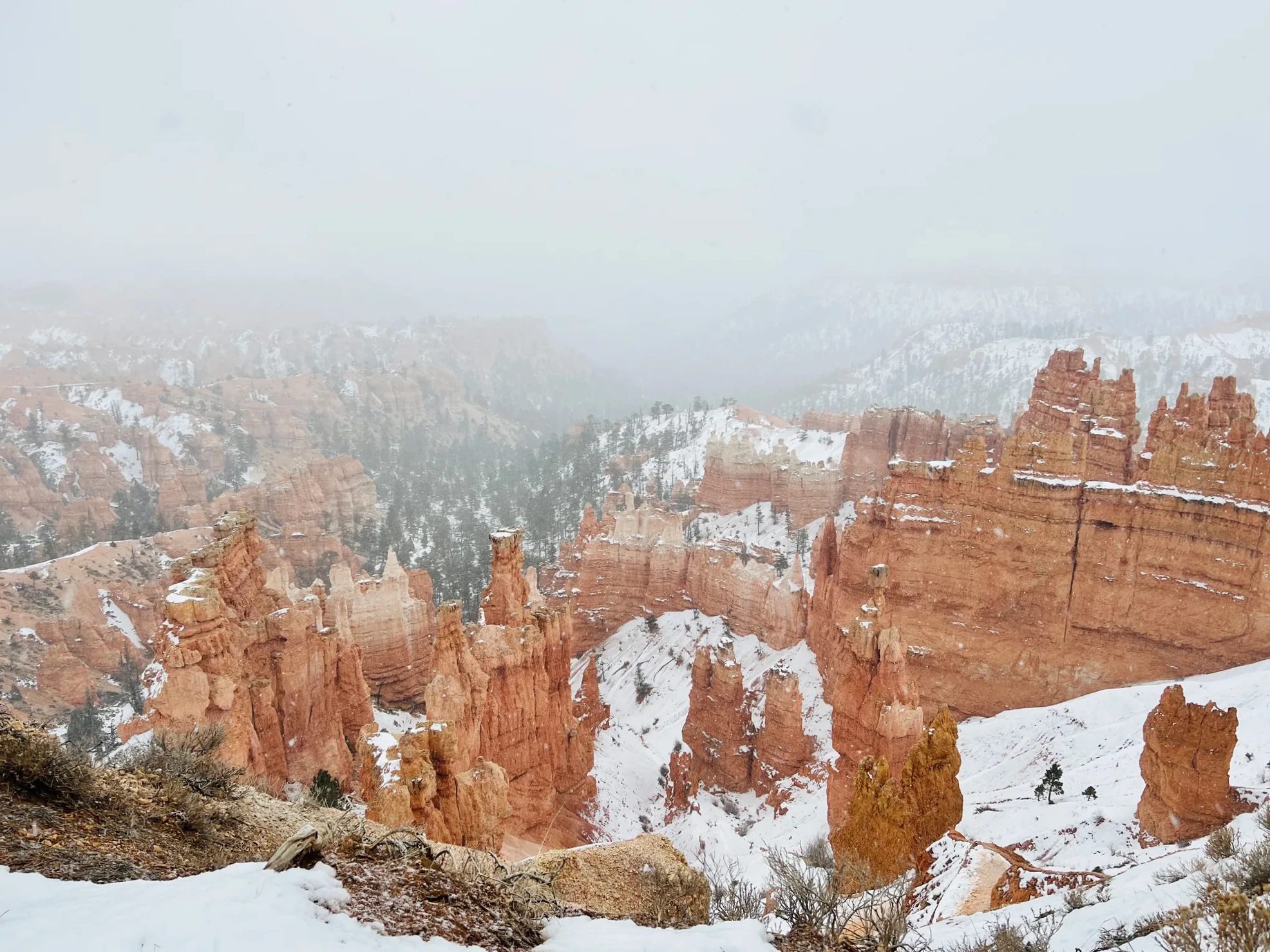
At the overlook just north of Sunset Point, a sign shares a legend of the Paiute, the people who lived on this land first. The hoodoos sometimes looked to us like tall people standing in rows, and according to the sign, the Paiute saw them as the Legend People, who did wrong and were turned to stone by Coyote as punishment. Paiute tradition is to tell these stories only in winter. We happened to read it in winter, in front of a canyon filling with snow.
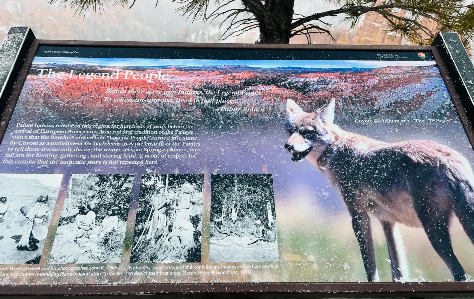
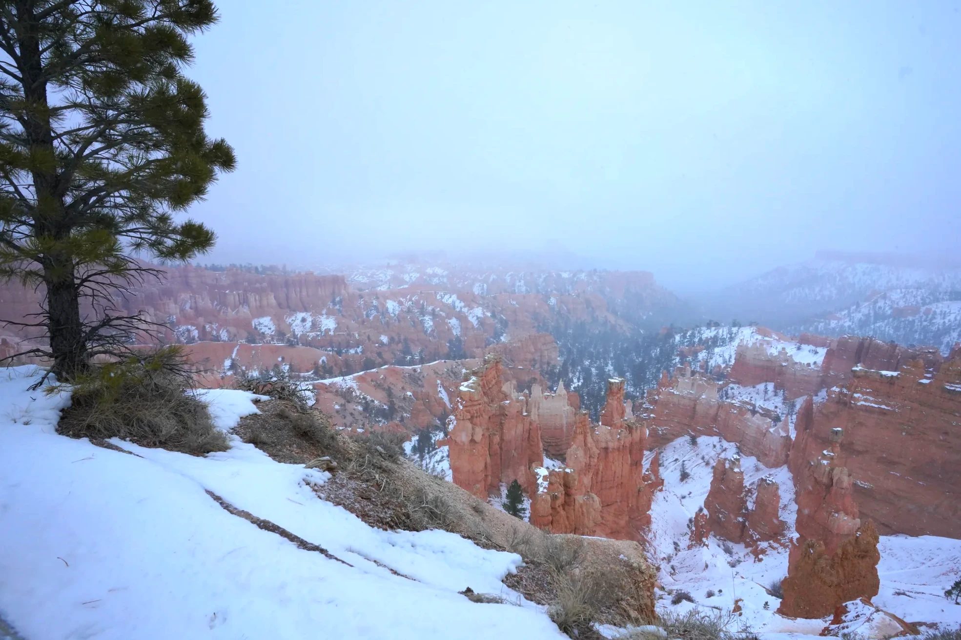
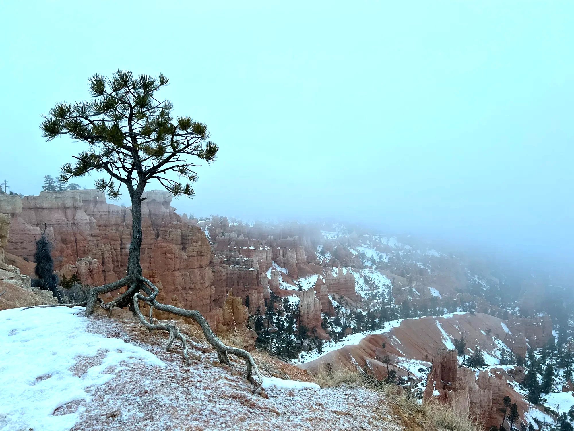
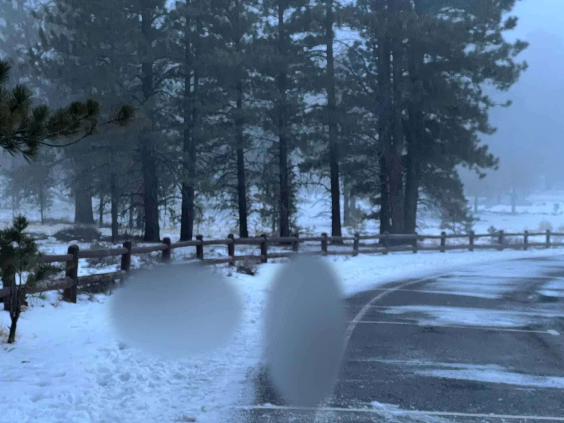
Once the sun set at 5:15 p.m., everything turned blue and dark fast. Fresh snow had piled up along the way back to the parking lot, and our kid and my wife had a long snowball fight. We played in the snow like that right up until we got in the car.
Dinner outside the park at Bryce Canyon Pines
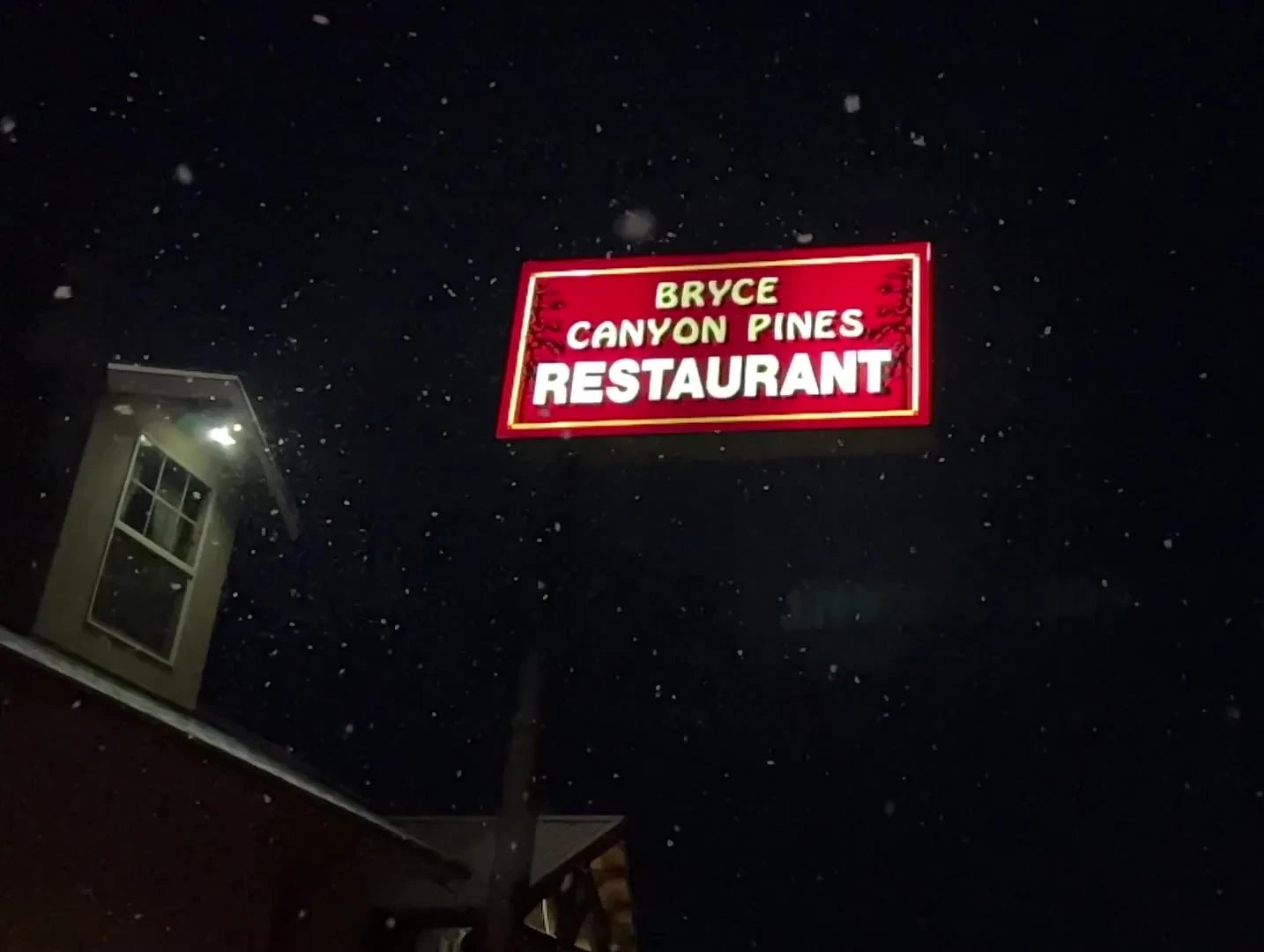
We left the park around 5:45 p.m. and drove about 10 minutes west on Highway 12 to Bryce Canyon Pines. It’s a restaurant attached to a motel, with a wood-paneled interior hung with photos and objects from the pioneer West. Maybe because we’d come in off a dark, snowy road, it felt especially cozy inside.
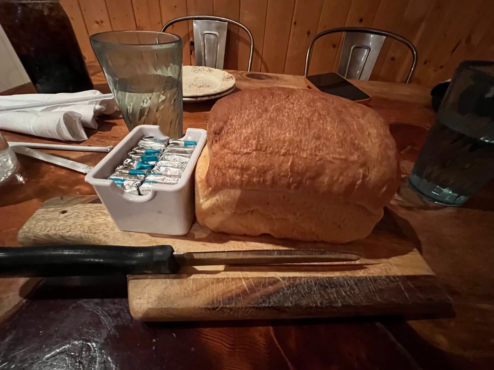
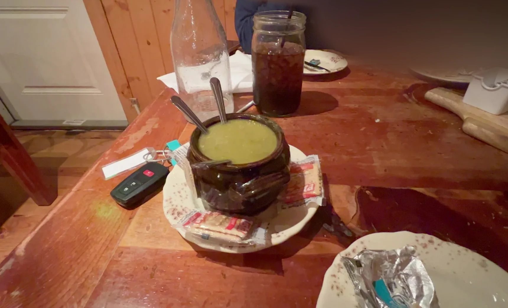
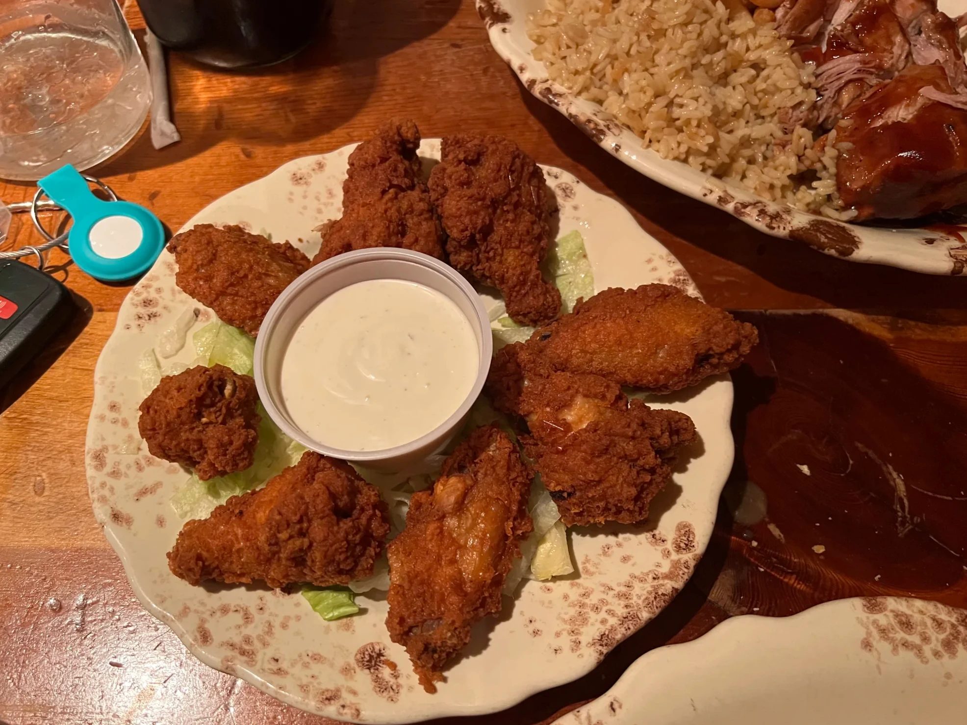
A big loaf of bread and butter came out first. We ordered a green soup, fried chicken, ribs with barbecue sauce, fries and rice, and shared everything. After walking in the snow, the warm soup was the most welcome thing on the table. The restaurant is also known for its homemade pies, so next time I’d like to try a slice.
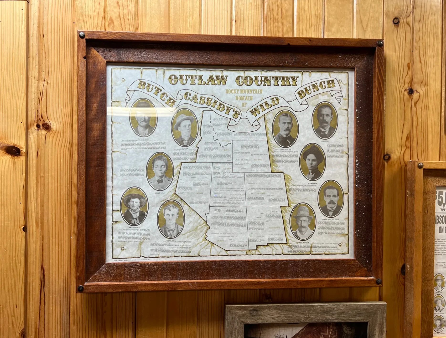
On the wall hung an old map titled “Outlaw Country.” It shows the faces and stomping grounds of Butch Cassidy and his Wild Bunch gang from the days of the Old West. Butch Cassidy grew up in Circleville, north of here along Highway 89, and his boyhood home is said to still stand by the road.
Through the snow to Zion
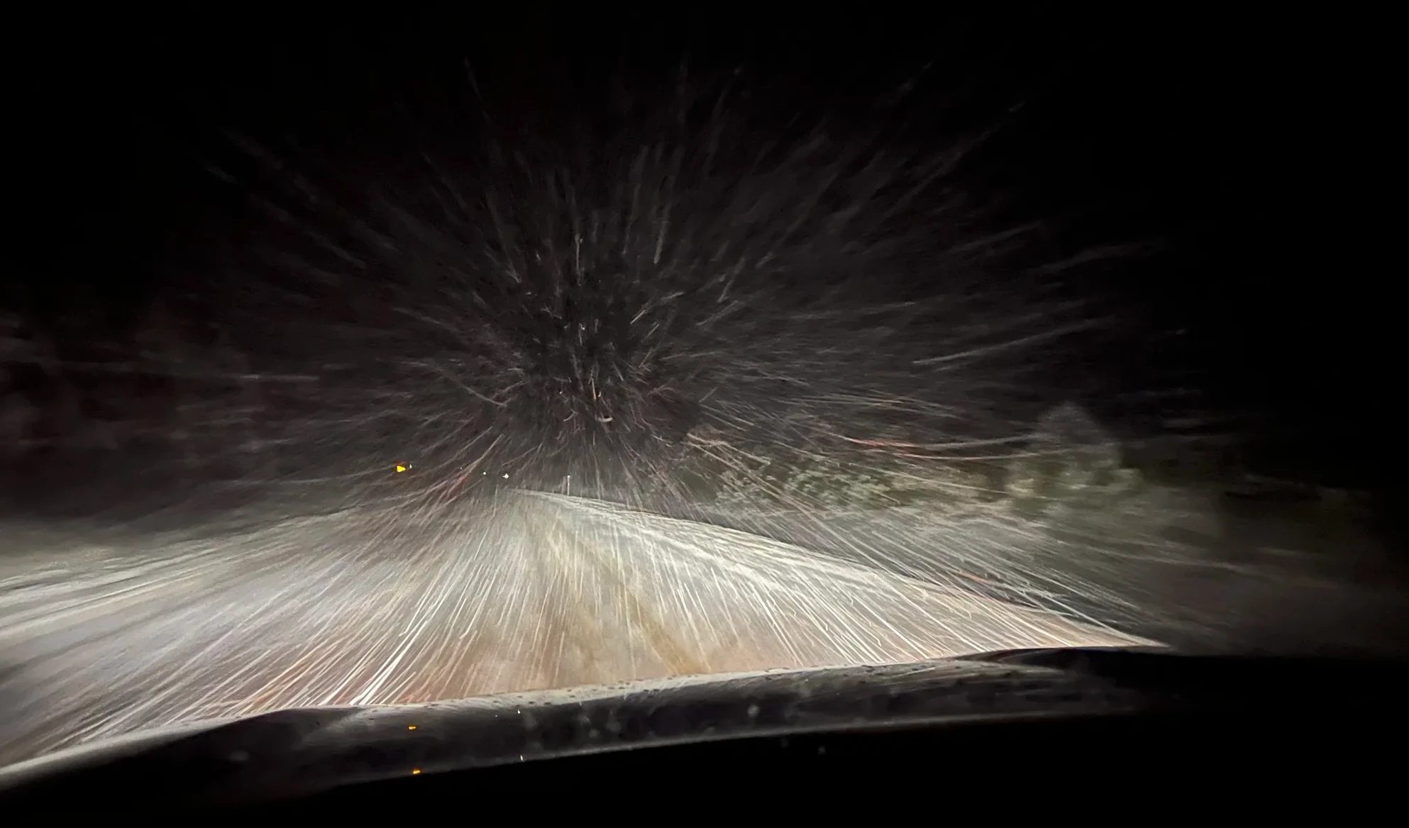
By the time we left the restaurant around 7:05 p.m., the snow was coming down harder. It was the most nerve-racking moment of the whole trip. Heading south on Highway 89, snowflakes poured into the headlights, and every car on the road was going slow. A drive Google Maps puts at just under two hours took us 2 hours 15 minutes, and we reached Zion Lodge around 9:20 p.m. I kept thinking we should have driven when less snow was falling. We toured Bryce Canyon, ate dinner and set off after dark; in winter I’d recommend moving earlier, because on snowy or icy roads cars have to go slower, and trouble in the dark is harder to deal with. Zion is the next post.
Where we stayed
Our night in Zion National Park
Our afternoon timeline
In winter, the sun sets at Bryce Canyon around 5:15 p.m. We drove in at 2 p.m. and stayed a little over three hours, long enough for two overlooks, the Rim Trail and a short stretch down the Navajo Loop. We were moving at a kid’s pace, so a group of adults could take it a bit more leisurely.
| Place | Time | Time spent | Walking |
|---|---|---|---|
| Park entrance, visitor center | 2:10–2:45 p.m. | 35 min | None |
| Sunrise Point | 2:50–3:40 p.m. | 50 min | Around the overlook |
| Rim Trail | 3:40–4:05 p.m. | 25 min | About 0.5 mi (0.8 km), flat |
| Navajo Loop, Two Bridges side | 4:05–4:35 p.m. | 30 min | Partway into the canyon, down and back up |
| Around Sunset Point | 4:40–5:45 p.m. | 1 hr | Between overlooks, on snow |
| Bryce Canyon Pines | 5:55–7:05 p.m. | Dinner, 1 hr 10 min | None |
| To Zion Lodge | 7:05–9:20 p.m. | Driving, 2 hr 15 min | None |
Visiting Bryce Canyon in December
- Gloves and winter clothesThe park sits above 7,900 ft (2,400 m), so it’s much colder than the other parks you might see the same day. Our day turned out more bearable than we expected, but bring gloves, a heavy jacket and a hat.
- Traction devicesThe National Park Service recommends traction devices (cleats or microspikes) anywhere in the park in winter, including on the paths to the overlooks and in the parking lots, and the visitor center bookstore sells them. If you want to hike down into the canyon, they’re a must.
- Open trailsIn winter, only the Two Bridges side of the Navajo Loop is open. After heavy snow, most trails require snowshoes. Check the current conditions page on the park’s official site before you go.
- Park roadAfter a big snowfall, the road beyond the visitor center can close for a while. Sunrise and Sunset Points are close to the entrance, so you can usually still reach them.
- SunsetIn late December the sun sets around 5:15 p.m. If you arrive late in the afternoon, focus on two or three overlooks.
- Dinner and the next night’s stayIf you’re driving on to Zion or Las Vegas after dark, leave plenty of time for snowy roads.
FAQ
Is Bryce Canyon worth visiting in winter?
We went on December 23, and seeing the hoodoos under snow made it better, not worse. The main overlooks are close to the entrance and easy to drive to even in winter. Many trails are icy, though, so access isn’t easy, and you’ll need traction devices to hike far below the rim.
How cold is Bryce Canyon in winter?
According to the National Park Service, December averages a high of about 36°F (2°C) and a low of about 16°F (-9°C), with around 14 in (36 cm) of snow for the month. Our day was more bearable than we expected, but it got cold fast once the sun went down.
At over 7,900 ft (2,400 m), mornings and evenings are cool even in summer, so bring a jacket. For comparison, May runs about 64°F (18°C) by day and 37°F (3°C) at night, September about 70°F (21°C) and 43°F (6°C), and October about 57°F (14°C) and 32°F (0°C).
What time are sunrise and sunset at Bryce Canyon?
On December 23, the day we visited, the sun rose around 7:40 a.m. and set around 5:15 p.m. Sunset shifts by more than two hours over the year, so check the times for your dates. The amphitheater faces east, which is why sunrise at Sunrise Point is the famous one; at sunset, Sunset Point gives you hoodoos lit by the last light.
How much time do you need at Bryce Canyon?
We spent about three and a half hours on two or three overlooks and the Rim Trail. The National Park Service also publishes a separate one-to-three-hour winter itinerary. In a season without snow, if you want to hike the Navajo Loop and the Queen’s Garden Trail too, plan on half a day or more.
How much is the Bryce Canyon entrance fee?
As of October 2026, it’s $35 per vehicle, good for seven days. Since January 2026, visitors 16 and older who are not U.S. residents pay an extra $100 per person. With the annual national parks pass ($80 for U.S. residents, $250 for nonresidents), there’s no extra charge. If you’re visiting several national parks, as on a Grand Circle road trip, the annual pass is the better deal.
Can you hike the Navajo Loop in winter?
The Two Bridges side is open year-round; the Wall Street side closes in months when it snows or rains and freezes overnight. When we visited in December, Wall Street was closed. You can go down the Two Bridges side and come back up the same way.
How long is the drive from Bryce Canyon to Zion?
Google Maps puts Bryce Canyon Pines to Zion Lodge at about 79 mi (127 km), just under two hours. Driving at night in falling snow, it took us 2 hours 15 minutes.
Where can you eat dinner near the park?
We ate at Bryce Canyon Pines, about 10 minutes west of the park entrance on Highway 12. Bryce Canyon City, right outside the entrance, also has a cluster of hotels and restaurants.
If we went back
A lot of snow fell and the trails were icy, so we didn’t hike much at Bryce Canyon. Winter days are also short, which you have to factor in. Still, snowy hoodoos, sunset light and falling snow all in one afternoon made it a good day. Next time, we’d bring traction devices and hike the full Navajo Loop to look up at the hoodoos from the canyon floor. Stay a night near the park and you can also watch the sun come up at Sunrise Point, as the name promises. If you’d rather not drive, there are day tours from Las Vegas that cover Bryce Canyon and Zion in a single day.
Tours
Bryce Canyon tours
Where to stay
Staying near Bryce Canyon
The afternoon started with snowy hoodoos under a cloudy sky and ended with a brief bit of sunset light and falling snow. While snow fell on the Legend People turned to stone, the hoodoos, we read a story that is only told in winter.
Related posts
| Type | Post |
|---|---|
| Full itinerary | Winter Grand Circle road trip: 10 days by rental car Route, lodging and bookings for all 15 stops |
| Previous | Goblin Valley, Capitol Reef and Utah Highway 12 Mushroom rocks, petroglyphs and a snowy pass on the way to Bryce Canyon |
| Next | Zion in the winter rain, a night at Zion Lodge |
Where it is and how to get there
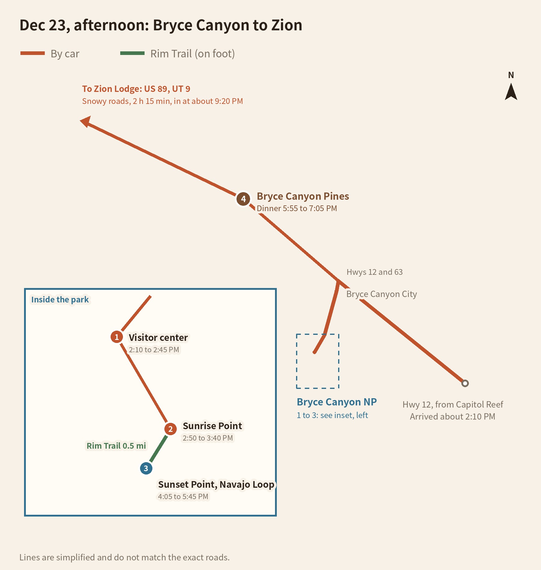
From Utah Highway 12, turn south onto Highway 63 and you’ll pass through Bryce Canyon City to the park entrance. Past the visitor center, turn left at the first junction for Sunrise Point; Sunset Point’s parking lot is a little farther on. The Rim Trail connects the two overlooks on foot. For Bryce Canyon Pines, go back out to Highway 12 and head west about 10 minutes. For Zion, take Highway 89 south, then turn onto Highway 9.
What we needed for this trip
Bookings
- Rental carWe picked ours up at the Las Vegas airport and drove it for nine days. Every Bryce Canyon viewpoint is on a paved road, so a regular car is fine.See rental cars at the Las Vegas airport
- Lodging near the parkWe drove on to Zion that night, but if you want the sunrise, stay right outside the park entrance.See the Best Western Plus Bryce Canyon Grand Hotel
What to bring
- National parks annual passWe used it for national park entry on the Grand Circle. From 2026, it also covers the nonresident surcharge.
- Winter glovesWe wore them the whole time we were taking photos at the viewpoints, over 7,900 ft (2,400 m) up.See touchscreen winter gloves
- Traction devicesTo go all the way down the icy Navajo Loop to the canyon floor, you need traction devices (cleats or microspikes) that slip over your shoes.See traction cleats and microspikes
Flights
Flights to Las Vegas
Sources
- National Park Service: Bryce Canyon weather (checked October 23, 2026)
- National Park Service: Bryce Canyon fees and passes, Visit Utah: 2026 national park fee changes (checked October 23, 2026)
- National Park Service: Navajo Loop Trailhead, Winter visits, A 1- to 3-hour winter visit
- National Park Service: How hoodoos form, The Legend People wayside
- National Parks Traveler: Bryce Canyon park history
- Fodor’s: Bryce Canyon restaurants
- KSL: Butch Cassidy’s boyhood home in Circleville (October 2026)
Not in the list? Search it yourself
Places to stay nearby, on a map
Affiliate link: if you book through this search, the blog earns a commission at no extra cost to you. Results open in a new tab. About affiliate links
Discover more from Elsewhere, Mostly
Subscribe and get new posts sent straight to your inbox.