Once we were past Quebec City and heading east, the trees changed. The broadleaf trees we knew from the drive between Montreal and Ottawa gave way to firs and other conifers packed tight along the road. Every so often the Saint Lawrence River (fleuve Saint-Laurent) showed through the gaps.
We wanted to see that road, so on a two-day Quebec trip with my parents, we gave the second day to Charlevoix. This Charlevoix day trip started at a hotel on the west side of Quebec City. From there we drove to the Sainte-Anne-de-Beaupré basilica, Baie-Saint-Paul, coastal Route 362 and La Malbaie, then up to the Clermont lookout and Parc national des Grands-Jardins, and back to Montreal that night.
- Hotel, west side of Quebec CityHotelDepartureNo breakfast
- 🚗 35 min
- Sainte-Anne-de-Beaupré basilicaBasilica50 minGold ceiling, left-behind crutches
- 🚗 Route 138, 45 min
- Visitor center lookoutLookout15 minMap and a route tip
- 🚗 20 min
- Baie-Saint-PaulMarket and lunch1 hrCroissant sandwiches
- 🚗 Route 362 along the coast, 45 min
- Saint-Irénée beachSwim40 minTrain beside the beach
- 🚗 15 min
- La MalbaieRiverside20 minWhere we turned around
- 🚗 20 min
- The cross on the hill at ClermontLookout30 minMalbaie River valley
- 🚗 20 min
- Saint-UrbainRest stopShort stopsMoose sign, rain starts
- 🚗 10 min
- Parc national des Grands-JardinsForest trail1 hr 5 minBirches, black flies
- 🚗 20 min
- Baie-Saint-PaulDinnerQuickDown past yellow fields
- 🚗 Highway on the south shore
- MontrealArrivalHome
Day one and how we picked our hotel are in a separate post. → Quebec in two days: Chaudière Falls and the Charlevoix coast
Contents
- Sainte-Anne-de-Beaupré basilica
- Route 138 and the Charlevoix visitor center lookout
- Baie-Saint-Paul: market and lunch
- Route 362, the coastal road
- The beach at Saint-Irénée
- La Malbaie
- The cross on the hill at Clermont
- Saint-Urbain
- Parc national des Grands-Jardins
- The drive down and home
- If we went back: past La Malbaie, one more night
- Driving times by leg
9:25 a.m.Sainte-Anne-de-Beaupré basilica
Breakfast wasn’t included at our hotel, so we skipped it and left at 8:50 a.m. The weather was good, and everyone set out in high spirits.
Our first stop was the Basilica of Sainte-Anne-de-Beaupré (Basilique Sainte-Anne-de-Beaupré). It sits on the way to Charlevoix, 35 minutes from our hotel. As we turned into the village streets, the two spires showed up above the houses before anything else did.
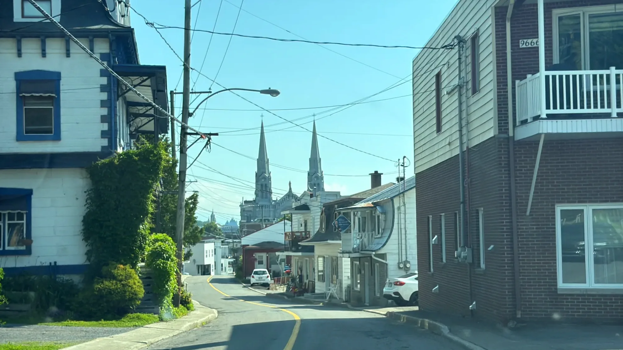
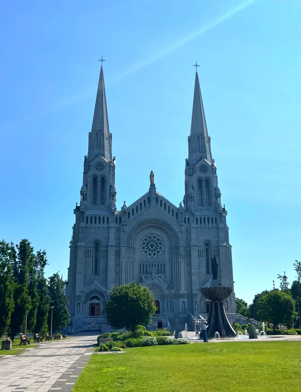
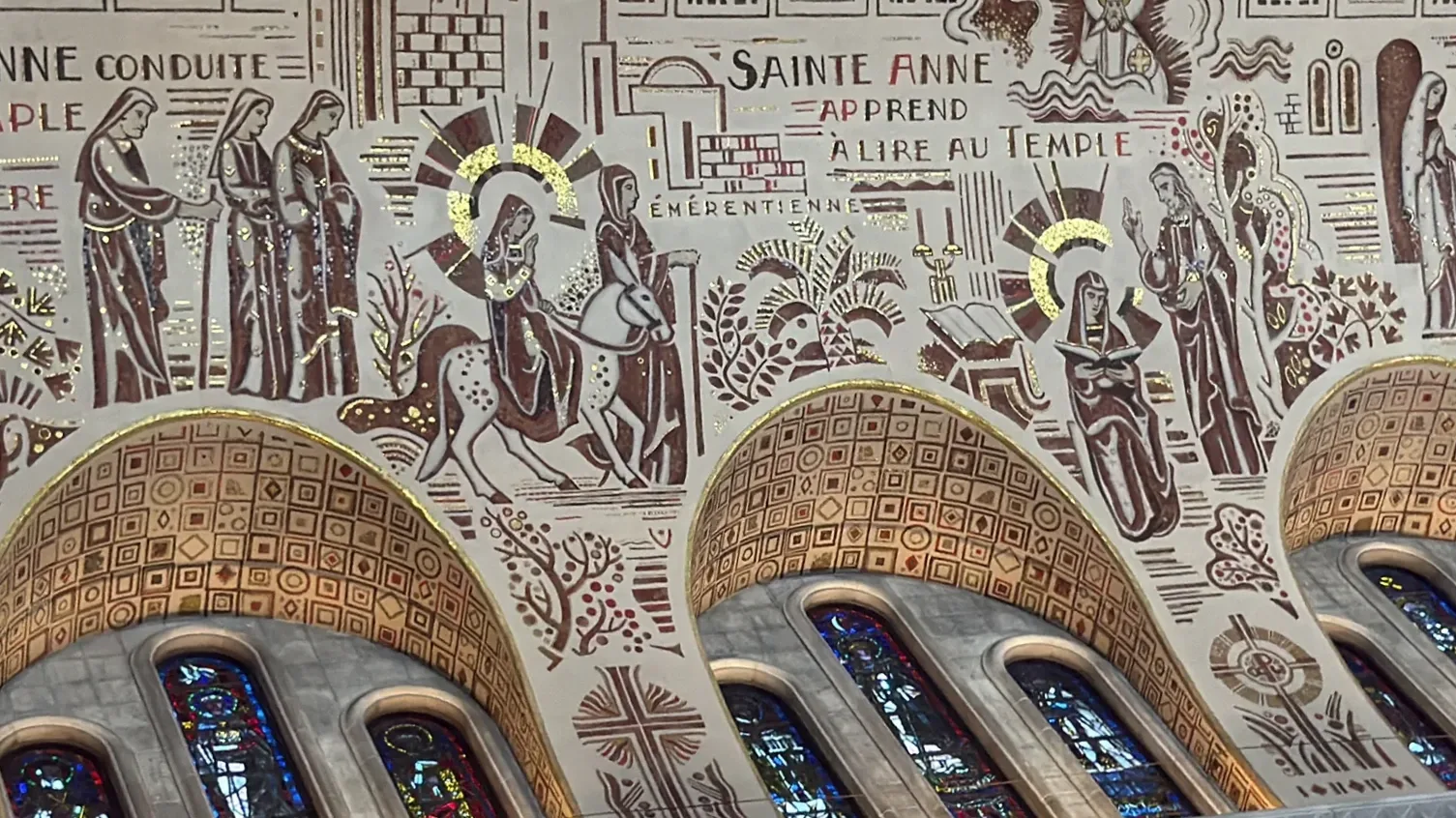
The basilica is dedicated to Saint Anne and is one of Canada’s national shrines (sanctuaire national), as designated by the Canadian Conference of Catholic Bishops. More than 1,000,000 pilgrims and visitors come every year. Inside, the scale is enormous. My parents said more than once how ornate and how big it was, and our kid walked the length of it looking straight up at the ceiling covered in gold mosaic.
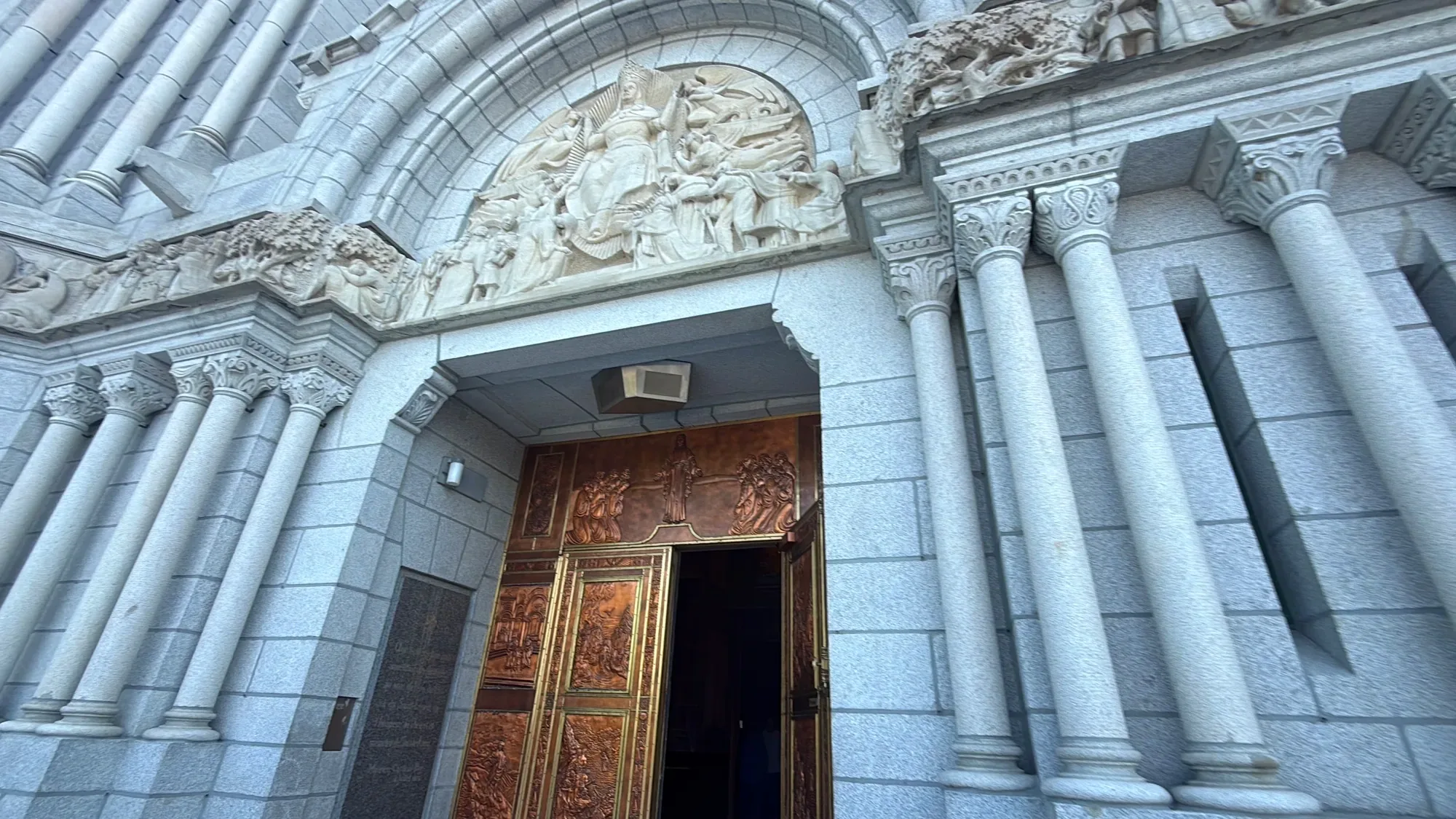
Just inside the entrance, crutches hang on the pillars, left by people who believed they had been healed. Our kid had seen crutches like these before at Saint Joseph’s Oratory in Montreal (Oratoire Saint-Joseph du Mont-Royal). Having seen that much bigger church first, our kid wrote in the diary that the crutches here somehow felt strange.
On the way out we stopped at the gift shop, which was packed. My wife picked out a small rosary to give as a present.
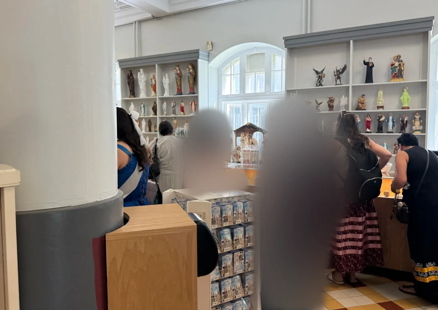
If you’d rather not drive and want to keep it to your own family, a private tour picks you up at your hotel.
Getting to the basilica without a car
11:00 a.m.Route 138 and the Charlevoix visitor center lookout
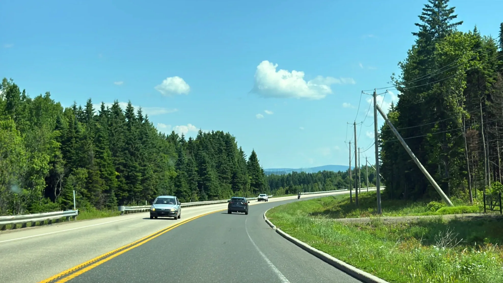
From the basilica we took Route 138 east for about 45 minutes. Conifer forest lined both sides, and each time it broke, the river appeared like a painting. It was one postcard view after another. I pointed out to my parents how different the trees were from the ones between Montreal and Ottawa. Every time the river came into view, they said again how pretty it was, how beautiful.
On the hill just before the road drops into Baie-Saint-Paul, we pulled over at a roadside building for a break. It turned out to be the Charlevoix tourist information office (Bureau d’information touristique de Charlevoix), with a lookout right next to it over the valley and the river.
When we picked up a map and asked where to go, the woman at the desk said the road from Baie-Saint-Paul to La Malbaie was very pretty. That settled the rest of our day.
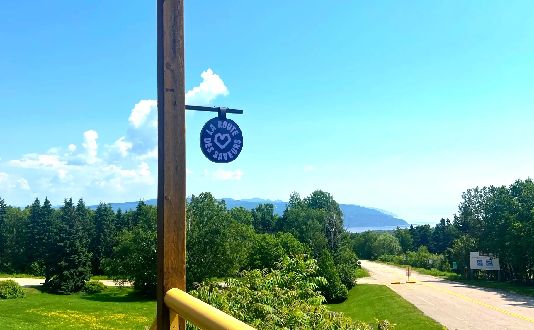
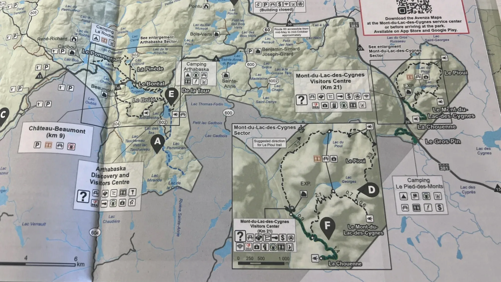
- Charlevoix visitor center
- Location: Route 138, 444, boulevard Mgr-De Laval, Baie-Saint-Paul, on the hill before you reach town
- Usually open from mid-May to mid-October. Dates vary a little by year.
- The lookout next door takes in Baie-Saint-Paul and the Saint Lawrence in one view.
- You can pick up a paper map and ask about routes for the day.
11:35 a.m.Baie-Saint-Paul: market and lunch
In Baie-Saint-Paul we hesitated over where to park, then left the car in the first public pay lot we saw and walked. A market happened to be set up on the street. It felt like a farmers market, though with more handmade crafts than food.
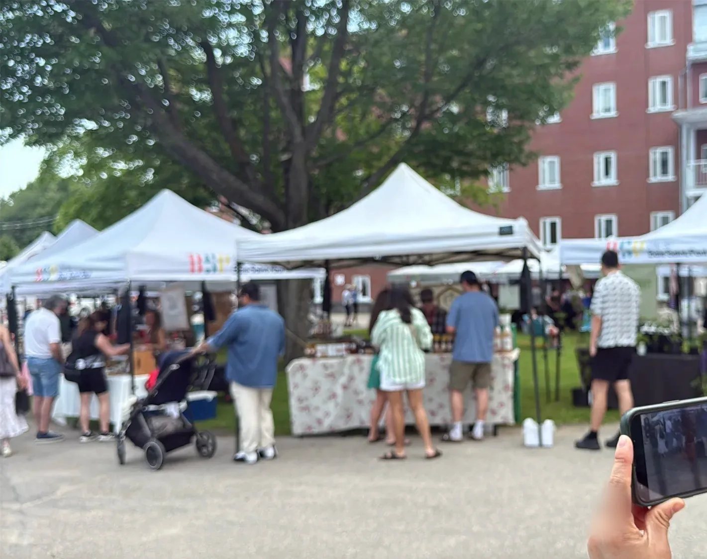
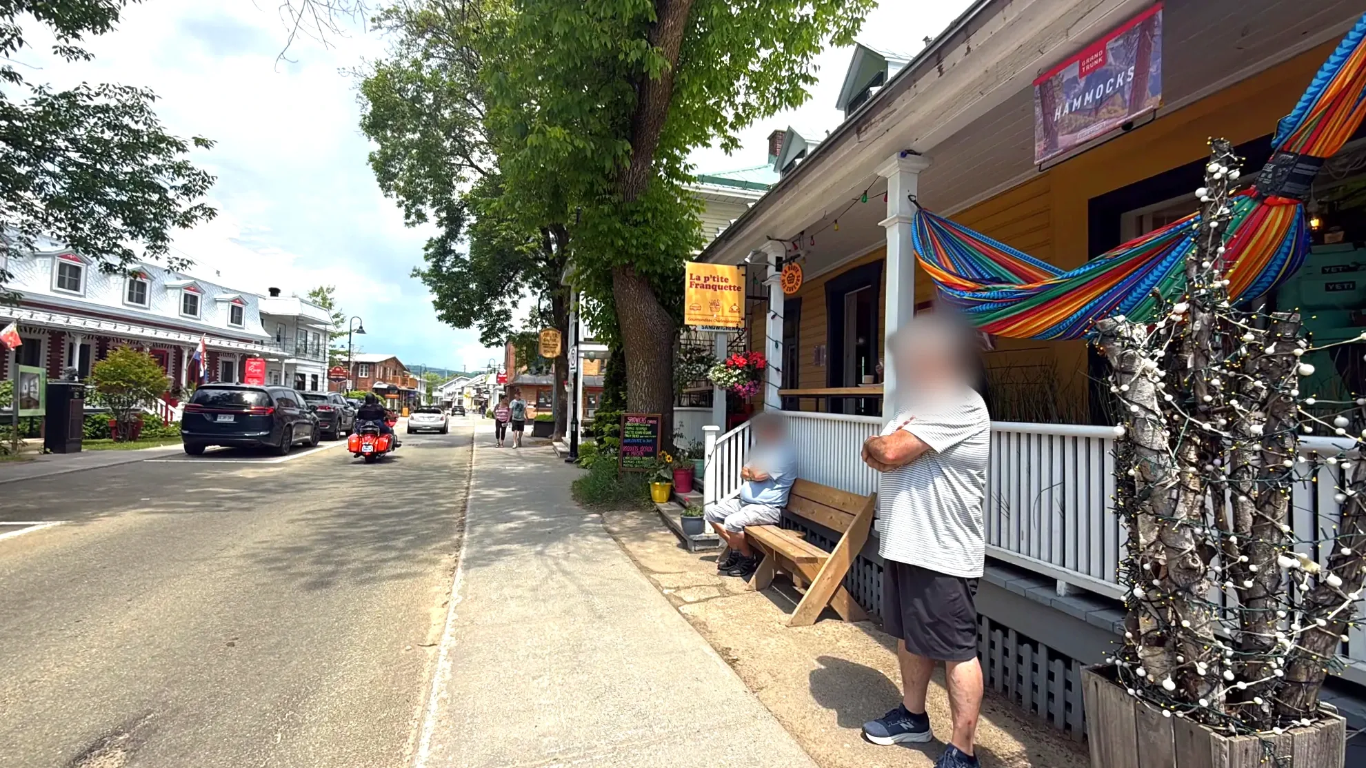
The street was full of restaurants that looked like they deserved a long, proper meal. We still had a lot of road ahead, so we bought croissant sandwiches at Café Charlevoix and ate them at an outdoor table.
Our kid, who loves the outdoors, was a little let down by Baie-Saint-Paul. A pretty town, the diary said, but far too civilized, so the day had started out in civilization. What our kid had been waiting for came after.
12:55 p.m.Route 362, the coastal road
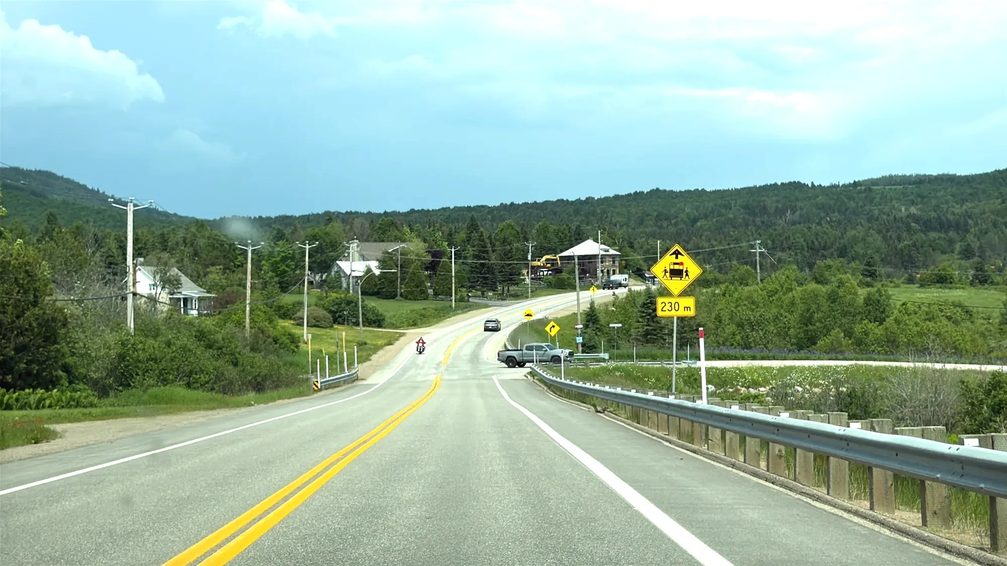
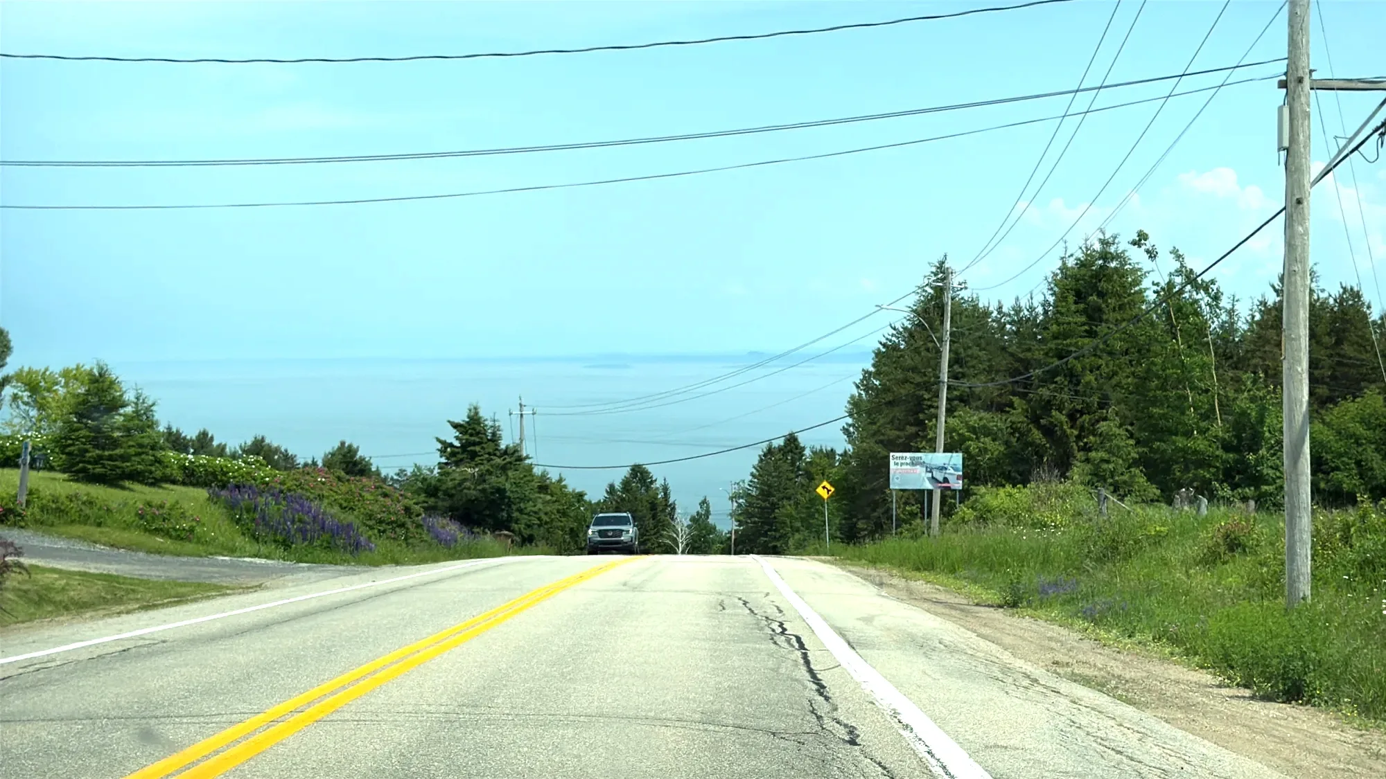
From Baie-Saint-Paul we turned onto Route 362. It runs about 50 km (31 mi) along the river to La Malbaie, climbing and dropping over the hills through Les Éboulements and Saint-Irénée. Route 138 is faster; Route 362 is the one for the views. From a distance the grades look steep, but behind the wheel you barely notice them. From the hilltops, though, the river opens up below you, and the photos come out well. Each of the few times we stopped, the first thing out of everyone’s mouth was “Wow, that’s pretty.”
1:20 p.m.The beach at Saint-Irénée
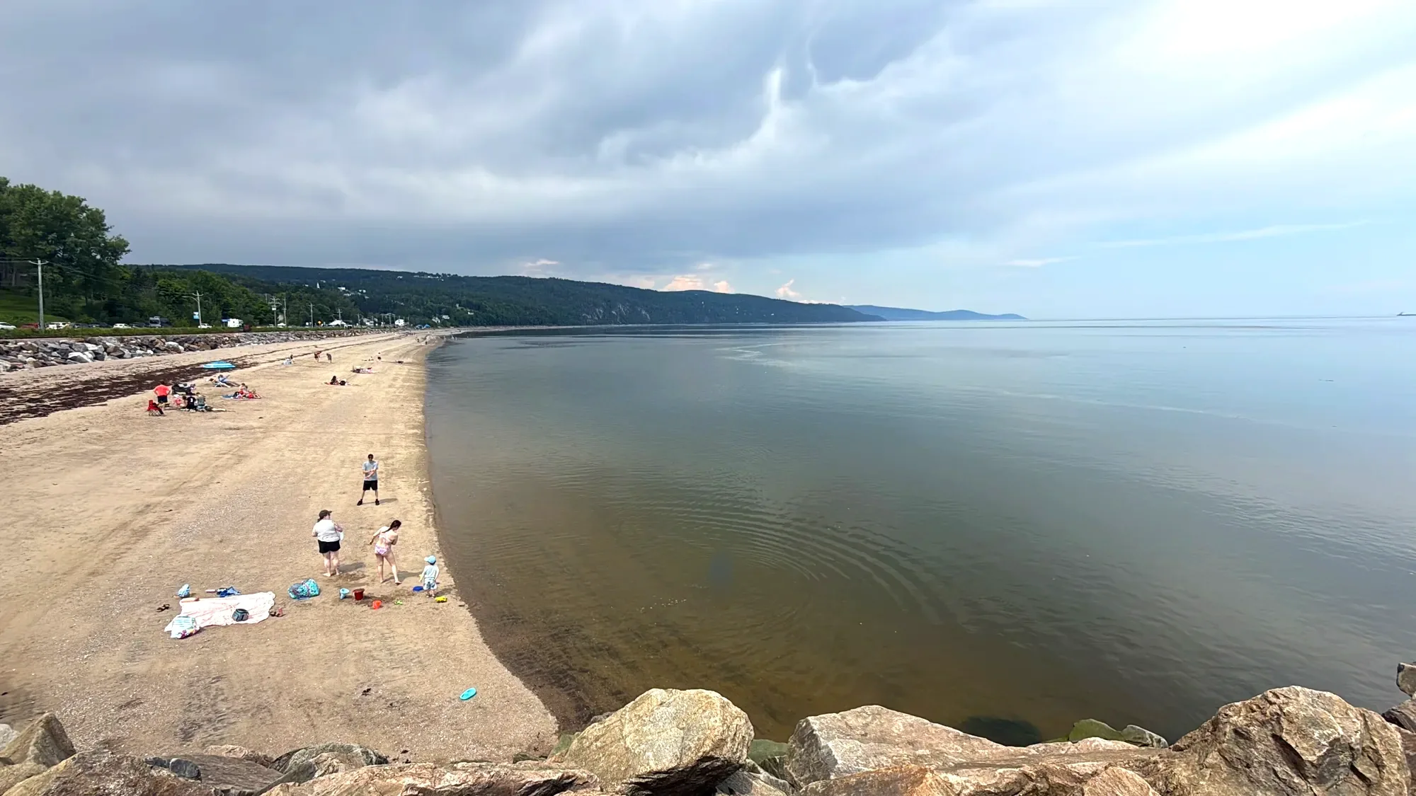
In Saint-Irénée we walked down to the sand at Saint-Irénée beach (plage de Saint-Irénée). Our kid changed into a swimsuit and went in. It’s a river, but here it’s an estuary where seawater mixes in, and it’s so wide it looks like the sea. Even at the end of June, the water was very cold.
From our kid’s diary
Our kid was out of the water before even ducking under. Then lightning flashed in the distance, and that was the end of swimming. My parents sat on a bench watching the river and the sky, and their grandchild going back and forth along the water’s edge.
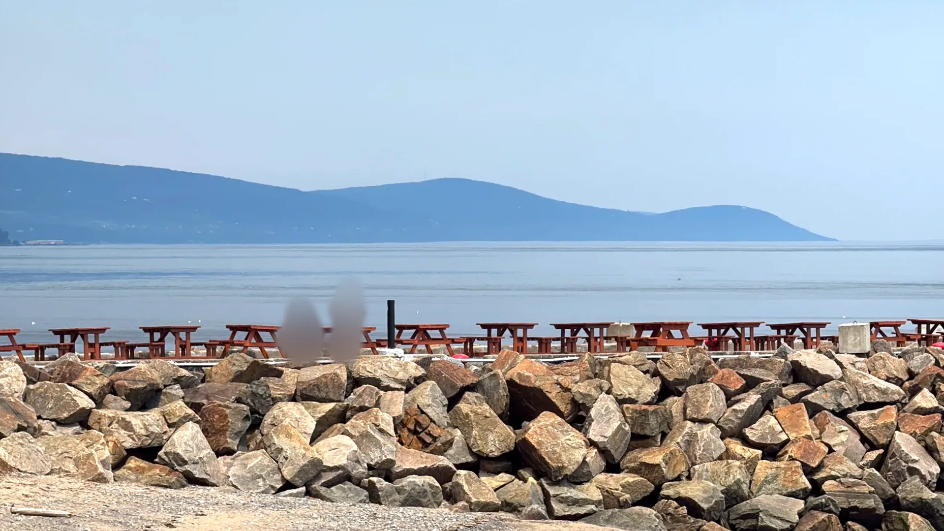
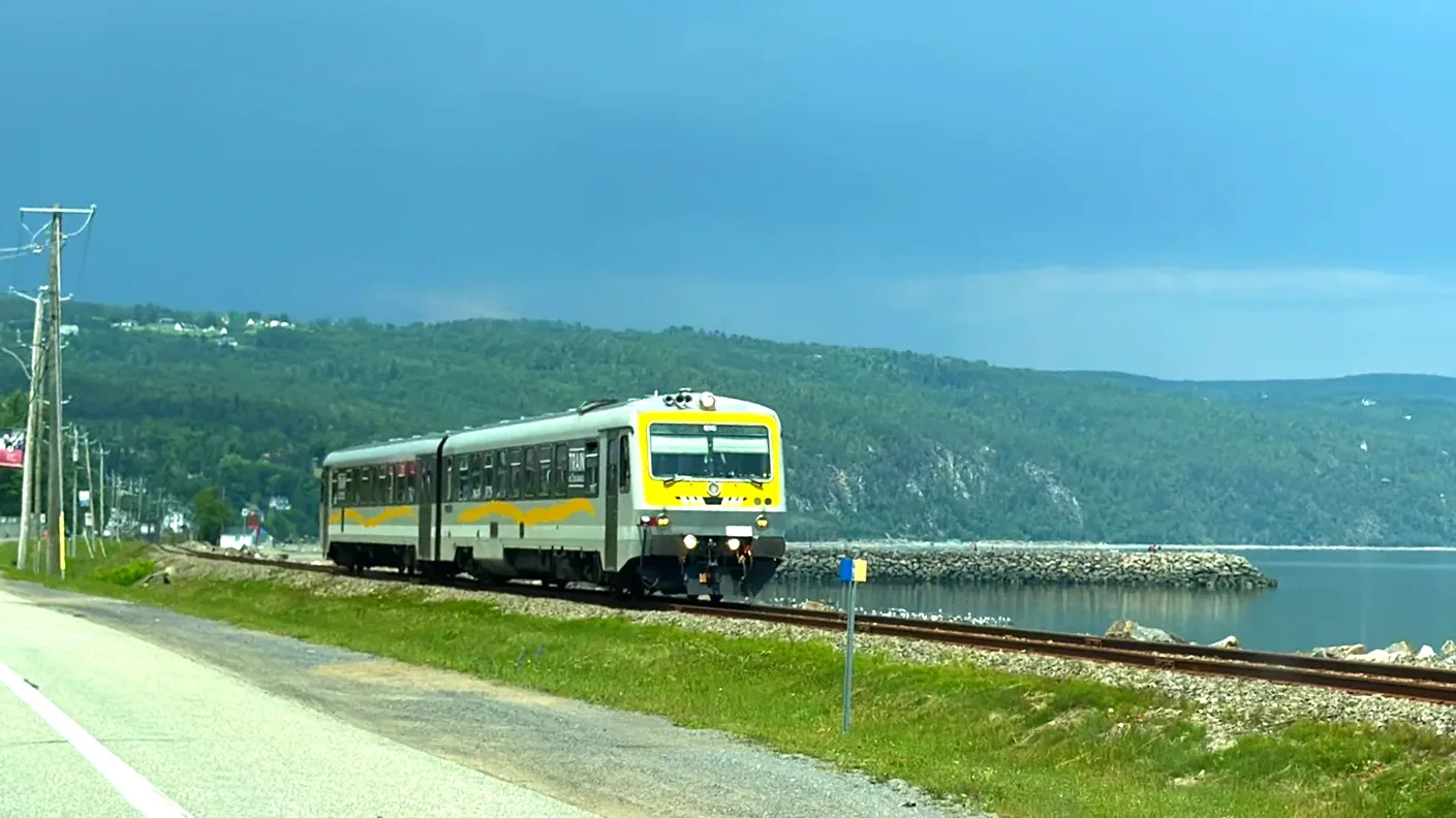
Just then the Train de Charlevoix pulled in on the tracks right beside the beach. We hadn’t been waiting for it, but the yellow train suited the shoreline so well that we watched until it had gone by. The Train de Charlevoix runs from Quebec City through Baie-Saint-Paul to La Malbaie in summer and fall only, and the Saint-Irénée beach stop doesn’t sell tickets.
2:15 p.m.La Malbaie
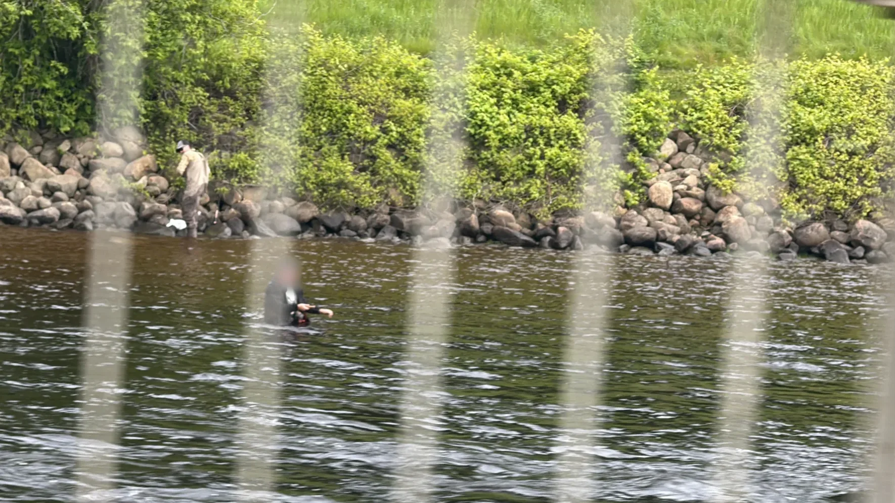
In La Malbaie we parked by the river and walked for a bit. People were fishing in the river, and across the water, the street lined with Église Saint-Étienne and European-style buildings was clean and quiet. Just as the woman at the visitor center had said, the road from Baie-Saint-Paul to here was the most beautiful of the day.
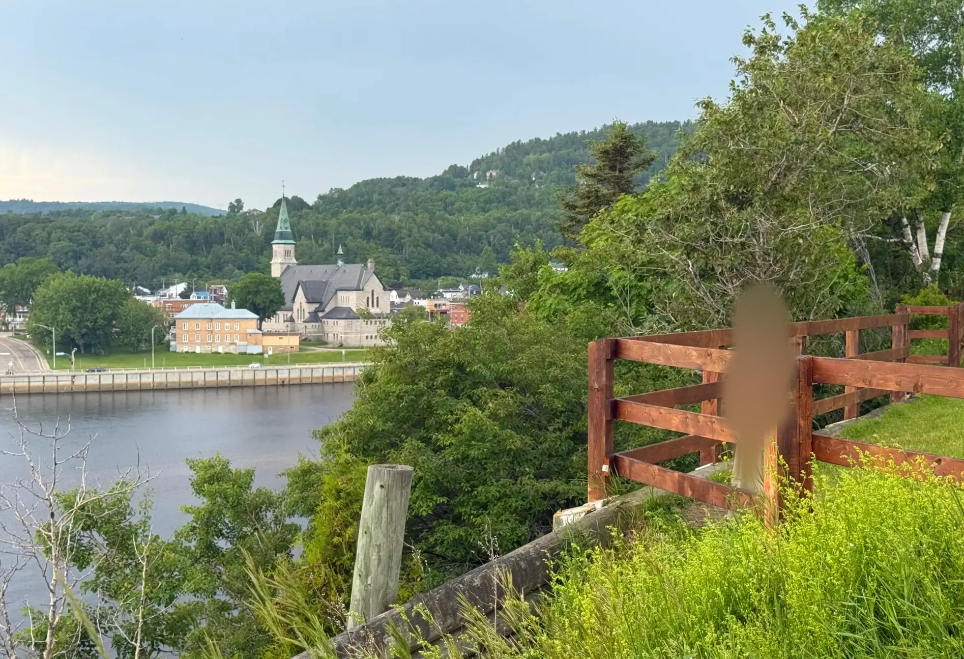
Keep going to Tadoussac and you can see whales, but that would have made the drive back to Montreal far too long. So we turned around at La Malbaie and opened the map to look for a good viewpoint nearby.
2:55 p.m.The cross on the hill at Clermont
The spot we found on the map was in Clermont, northwest of La Malbaie: the Site de la montagne de la Croix, a hill topped by a cross. There’s no admission fee, you can drive almost to the top, and parking is free. From the lot, a short walk brings you to the lookout and its big steel cross. The walk was short enough that my parents came up with us.
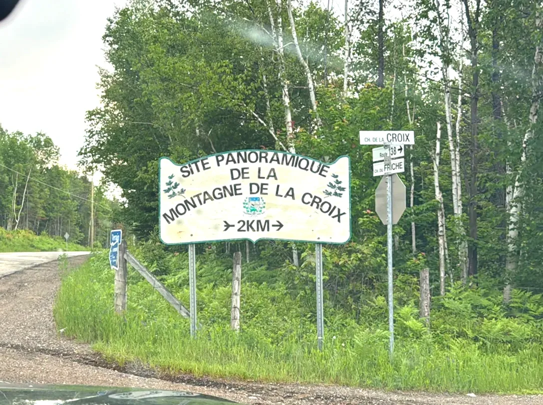
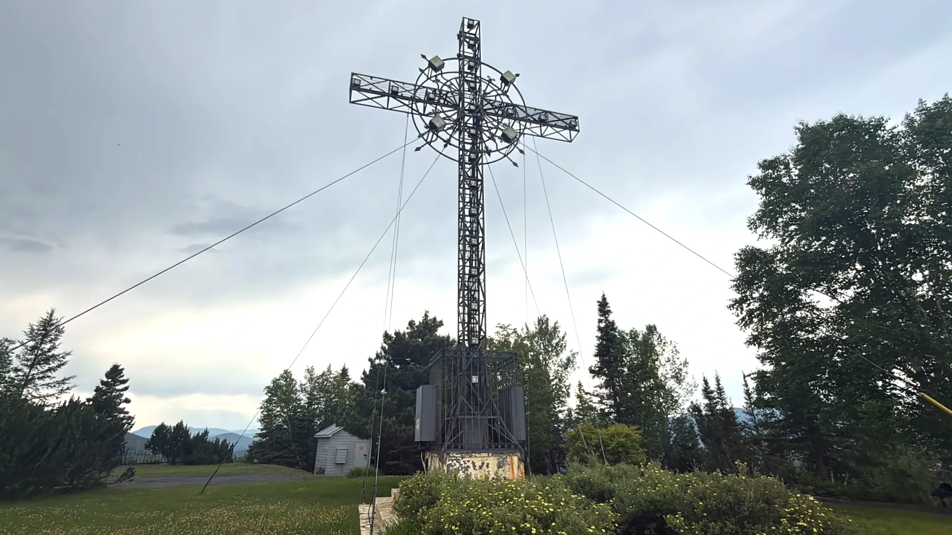
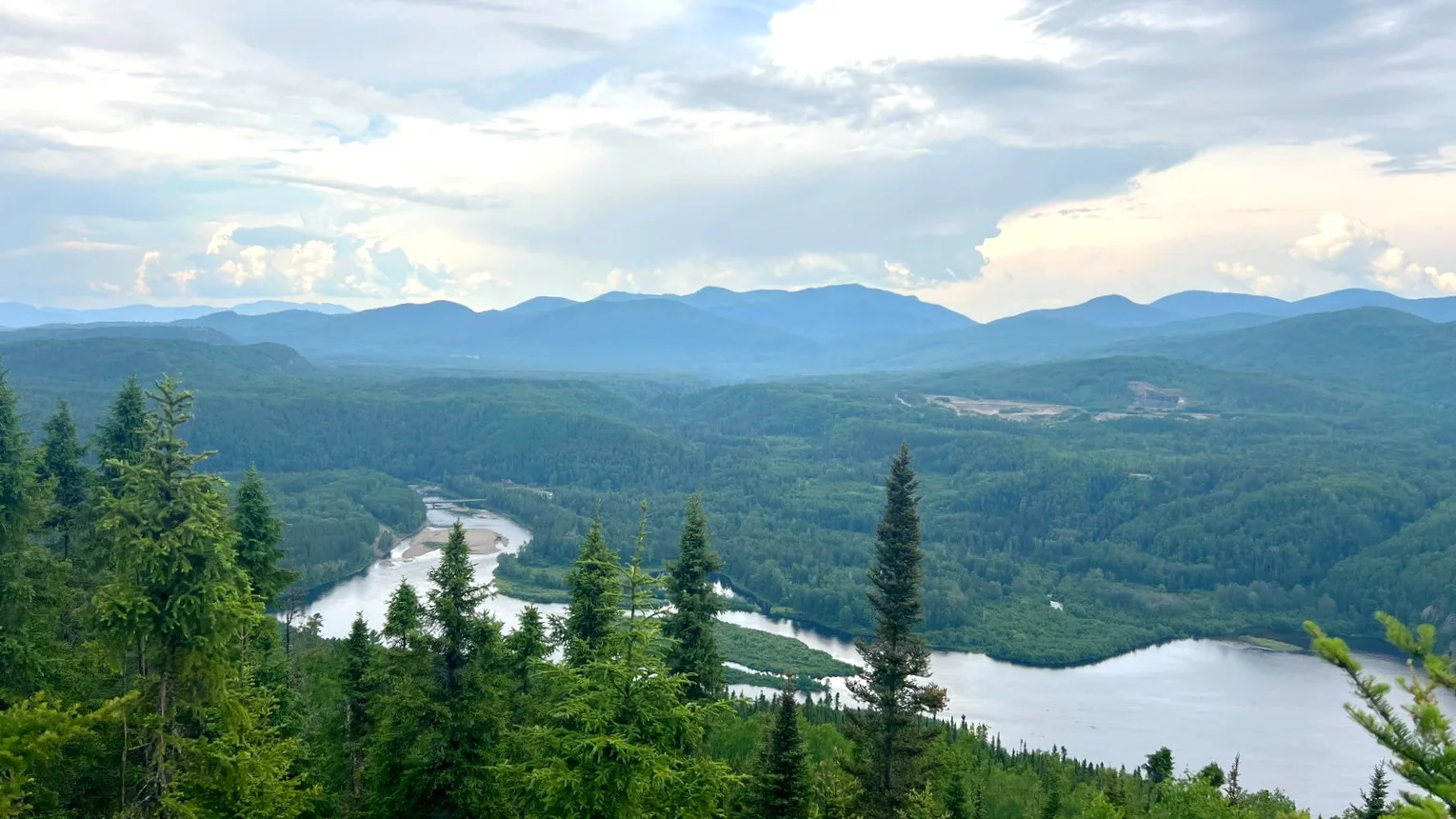
From the top, the valley of the Rivière Malbaie cut deep below us. The view was superb. This valley wasn’t carved by glaciers alone. The whole Charlevoix area is an impact crater left by a meteorite that struck a very long time ago, and wind, water and ice wore that terrain down over ages into the valleys and hills you see today.
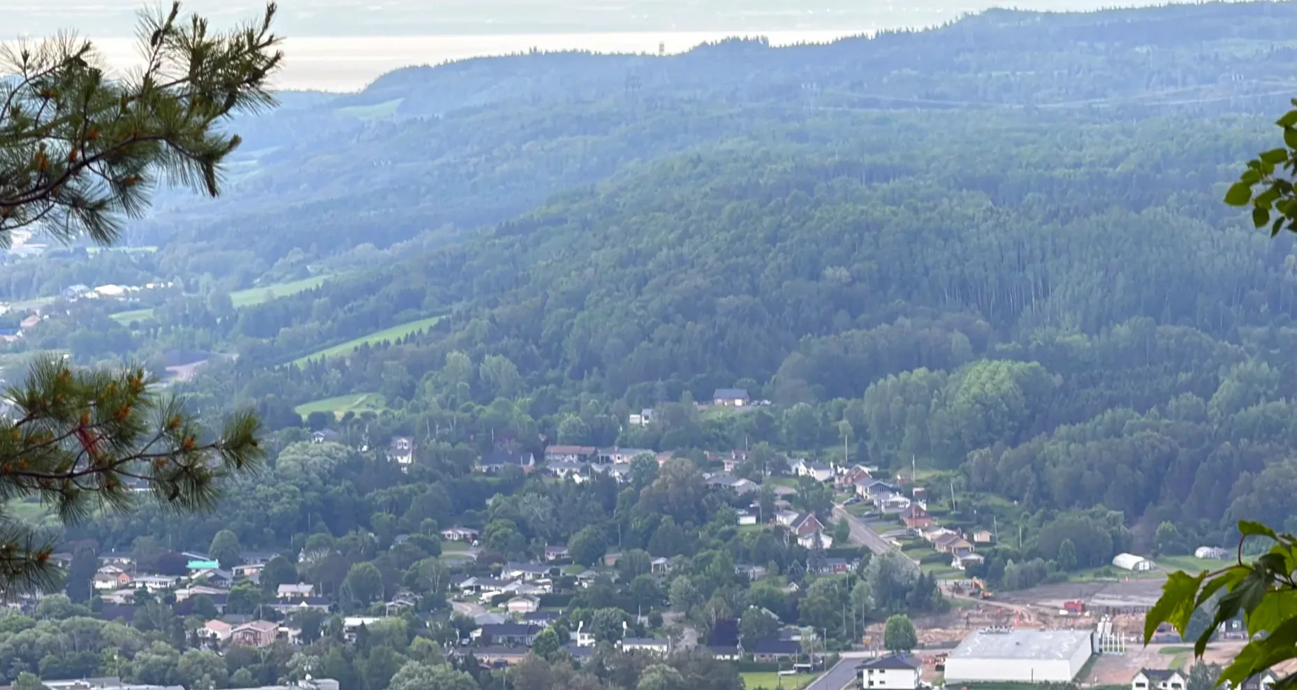
Our kid started that day’s diary entry with this hill.
From our kid’s diary
Looking down at the waterfalls and the hill-like mountains, our kid said they wanted to climb mountains like those. That settled it: the next stop would be in the mountains.
3:45 p.m.Saint-Urbain
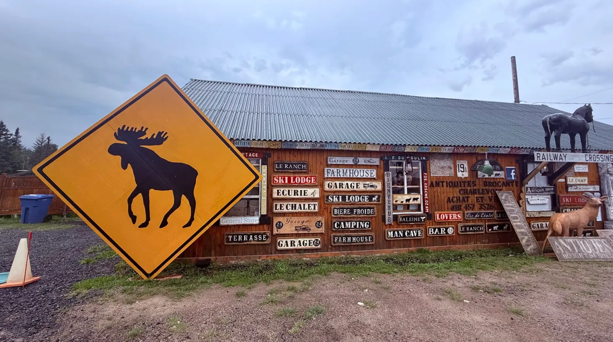
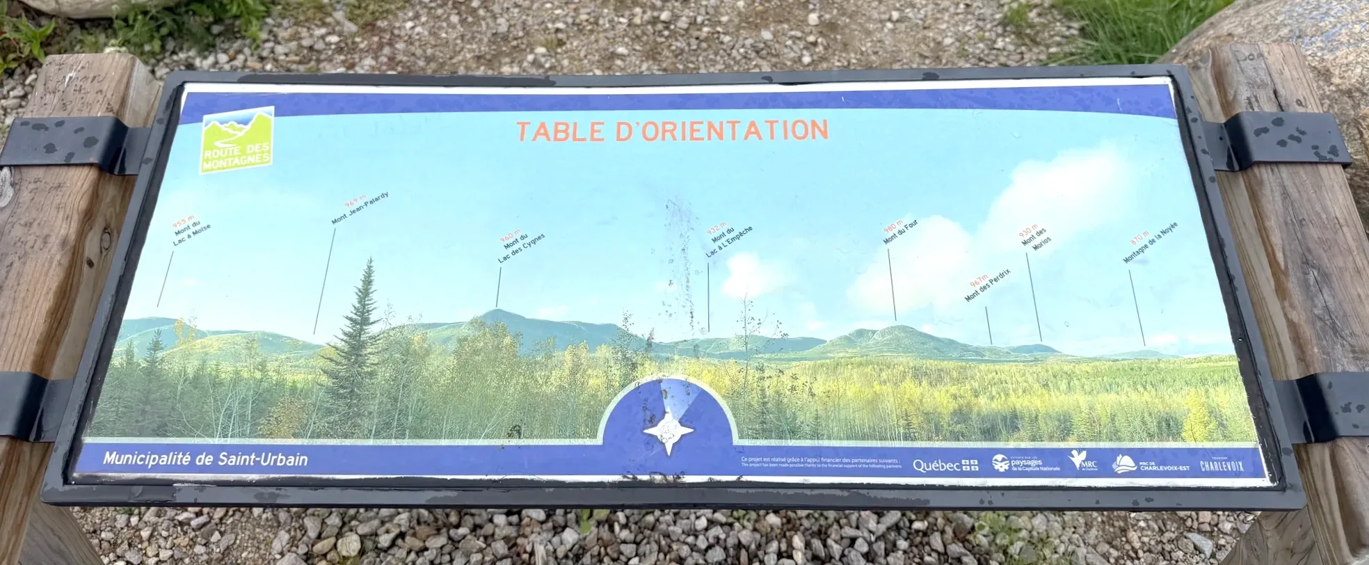
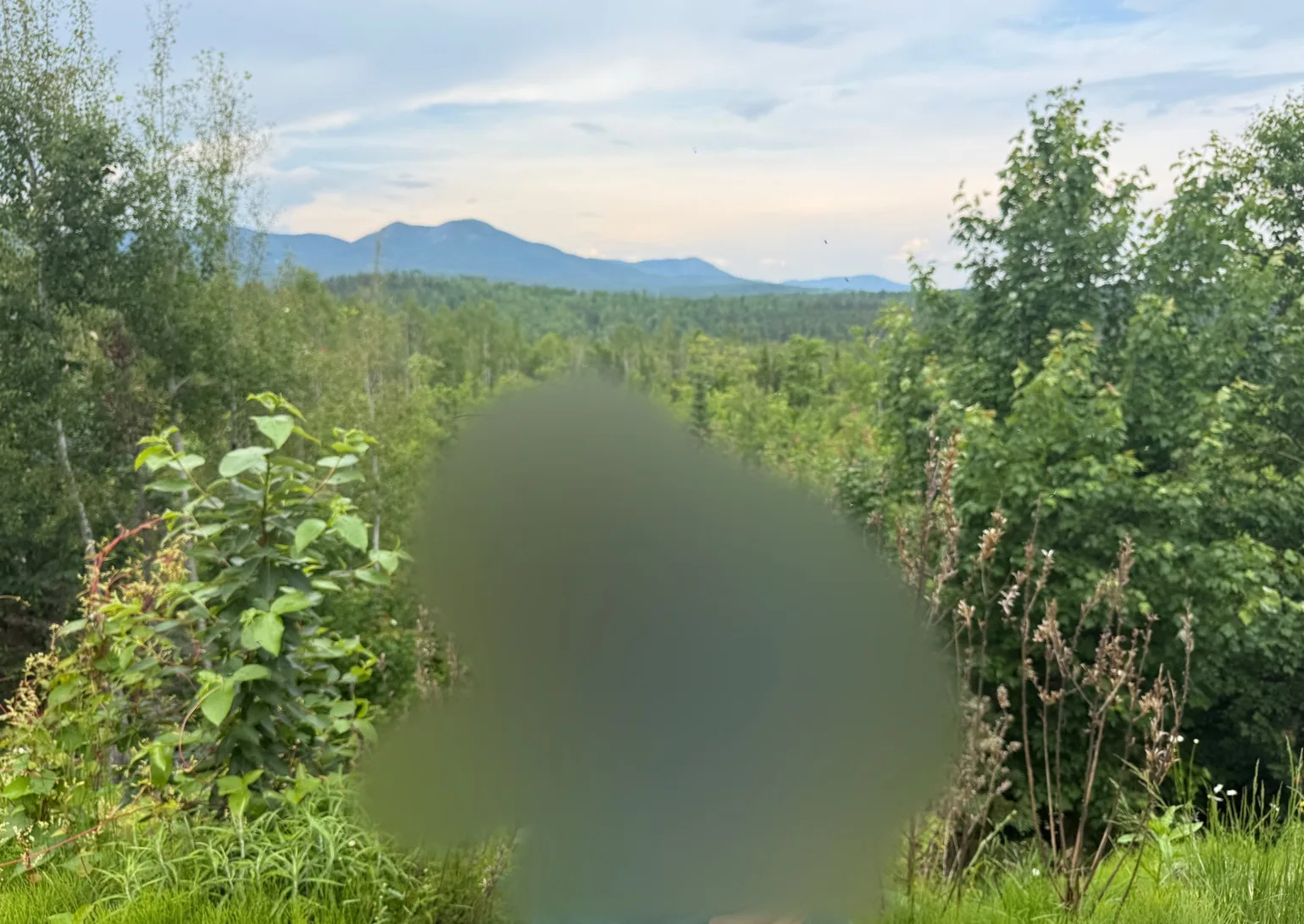
From Clermont we took the road toward the mountains and passed through Saint-Urbain. An antique shop with a big moose sign out front caught our eye, so we stopped in briefly, just to look. That’s when the rain started. At a roadside rest area there was a table d’orientation, a viewpoint panel naming the surrounding mountains and their directions.
4:40 p.m.Parc national des Grands-Jardins
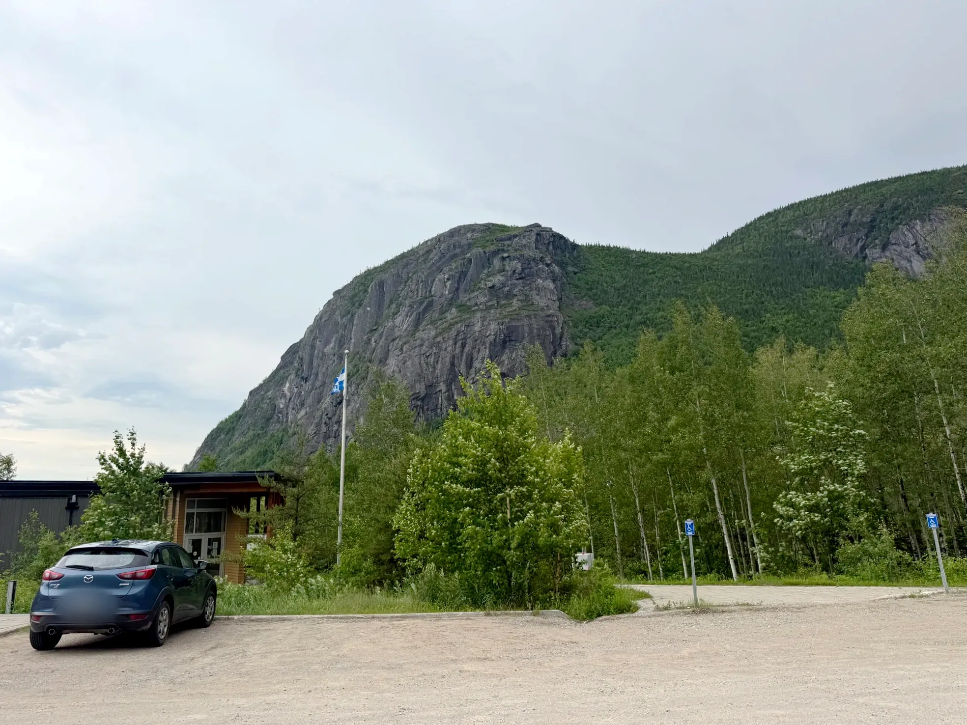
To actually walk in the mountains, the choice came down to two parks: Parc national de la Jacques-Cartier or Parc national des Grands-Jardins. After going back and forth, we picked Grands-Jardins, since Route 381 runs straight there from Saint-Urbain. A rocky mountain rose right behind the parking lot.
We went to Jacques-Cartier separately, for the fall colors (Jacques-Cartier fall colors and Montmorency Falls in a day). In June the days are long, so even late in the afternoon there was time for a short walk in the woods.
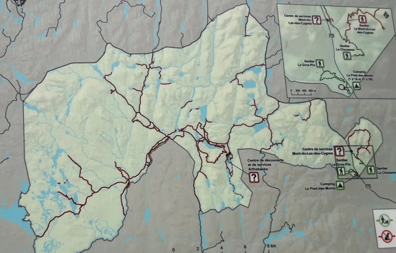
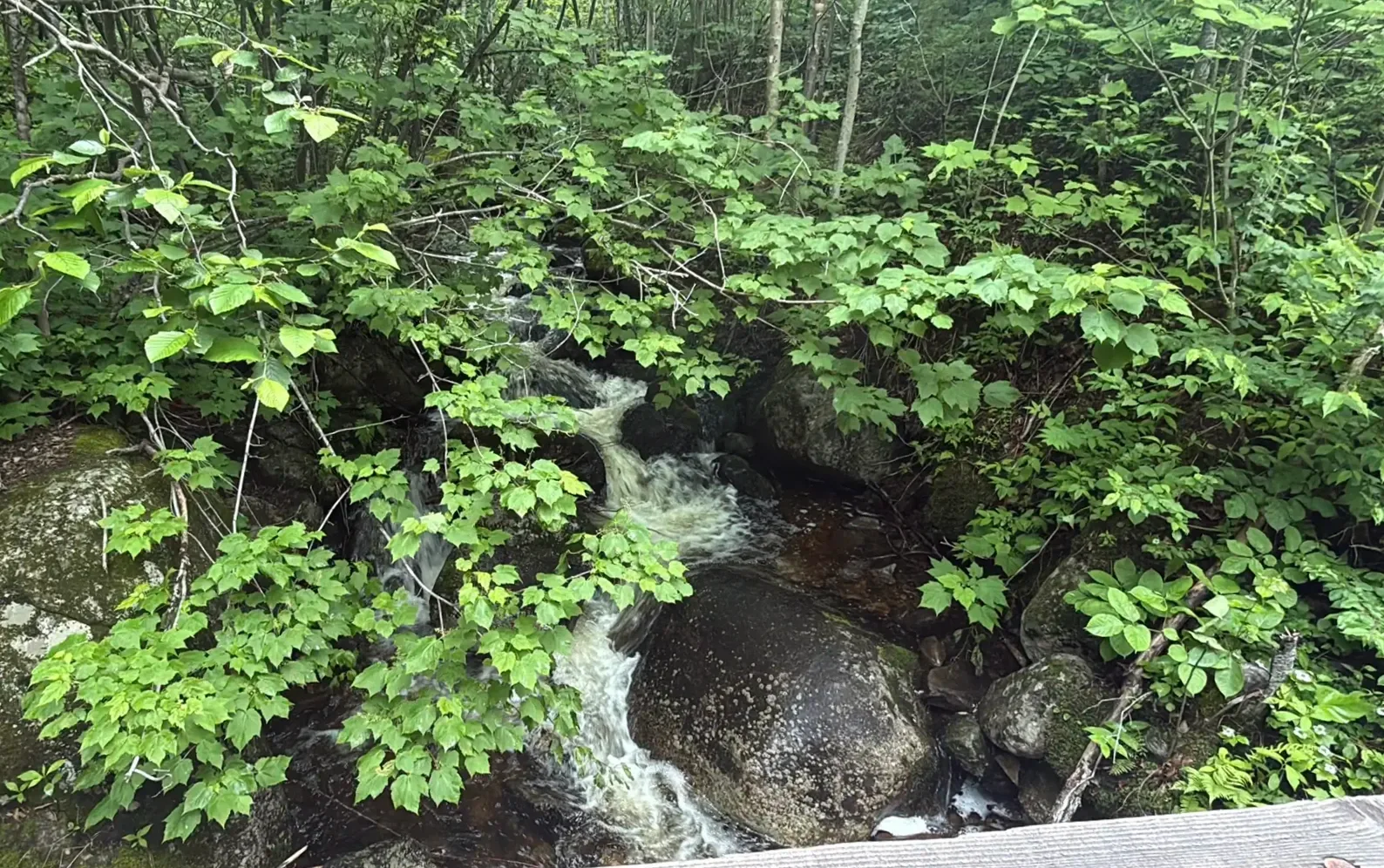
We’d taken it for a short trail, but it turned out longer than we thought. Our kid and my parents kept stopping to photograph the flowers and plants by the water. Our kid wrote in the diary about photographing flowers and the running stream. Every rock was covered in thick moss.
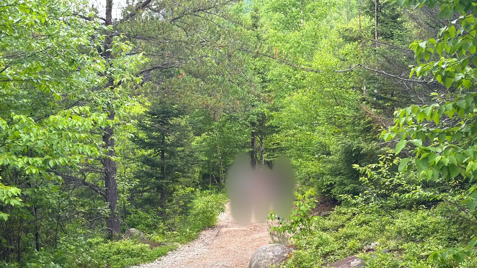
What my parents looked at longest were the birches. In Korea, they said, you go out of your way to visit a place known for its birch forest; here you see them all along the roadside, and that amazed them.
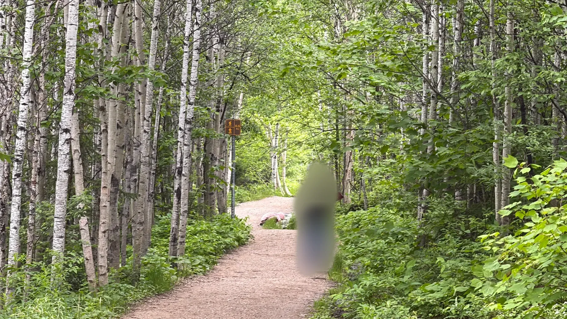
The problem was black flies (mouches noires). These small flies are everywhere in Quebec’s forests from late April through July, and the females bite. They’re especially thick near running water like streams, and the farther we walked, the more of them swarmed around our heads. Our kid proudly wrote about swatting more than 100 of them; I ended up pulling my jacket over my head. We never made it to the lookout and turned back partway.
Walking in the woods in June? Look for bug repellent on Amazon (affiliate) / a head net for your face on Amazon (affiliate)
As I wrote in the Quebec two-day post, if it’s your first time in Quebec, Clermont alone is enough and you can skip Grands-Jardins. Still, for our kid, that hour in the woods was what rounded off the day.
6:05 p.m.The drive down and home
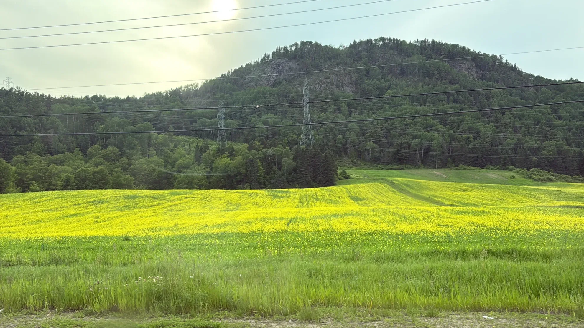
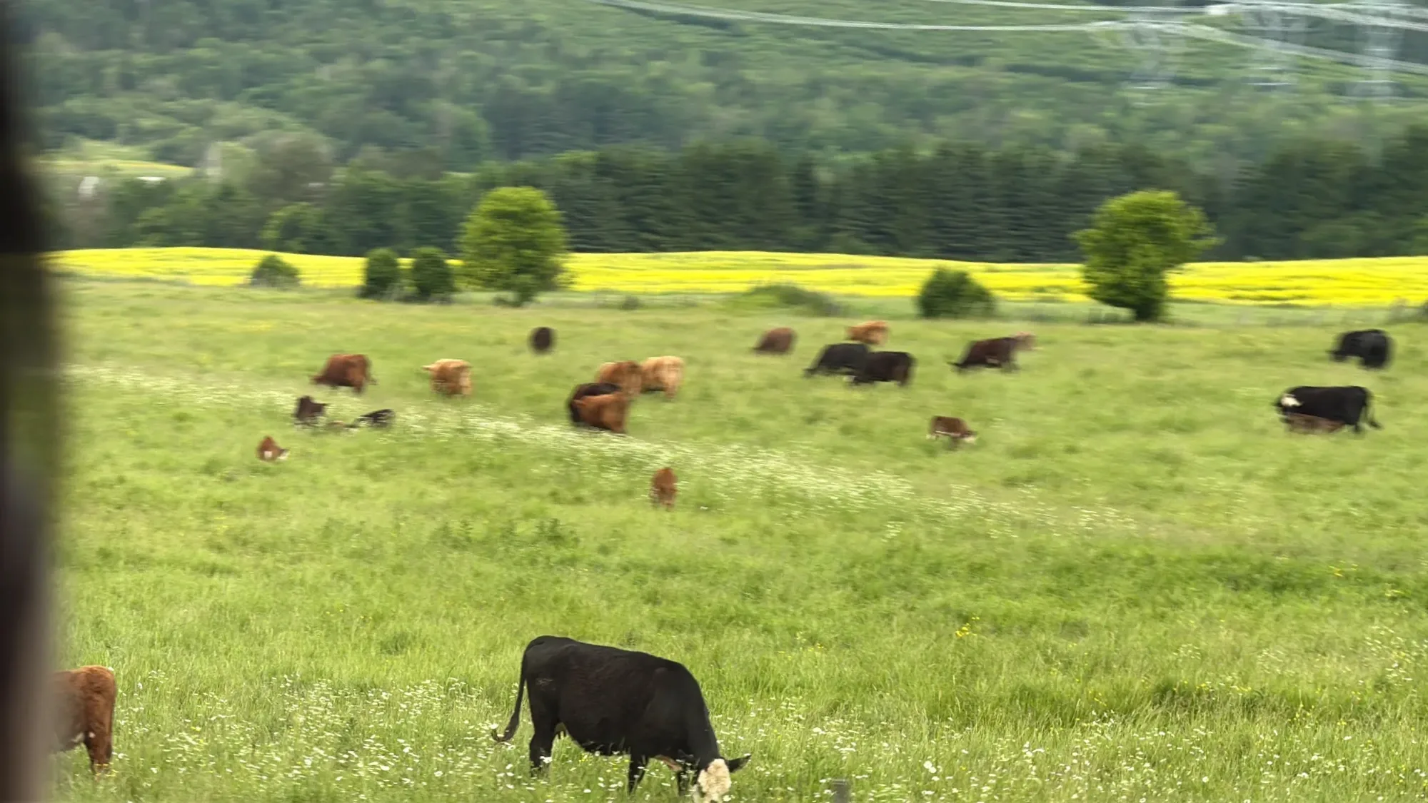
On the way down from Grands-Jardins to Baie-Saint-Paul we didn’t stop; the photos are all from inside the car. Wide fields of yellow flowers spread along the roadside, and in the pasture next to them a herd of cows was grazing. It was a lovely drive down. As we got close to Baie-Saint-Paul, the town appeared in the valley below.
In Baie-Saint-Paul everyone wanted to eat fast and get going, so we had a simple dinner. We crossed to the south side of the river, took the highway, and got to Montreal at 11:45 p.m.
Our kid’s diary ended with the line that the day had started with a civilized kid. A day that began at a basilica and a town, passed a beach and a valley, and ended in a forest was one our kid remembered as a trip like none before. For us, too, what stayed with us wasn’t any one place but the road as a whole.
If we went backPast La Malbaie, one more night
We had seen whales in Tadoussac two weeks earlier, so this time we turned around at La Malbaie. Getting all the way back to Montreal the same day made the afternoon rushed. If we went back, we’d drive on past La Malbaie and spend another night in that area. There are several national parks nearby, and if the season is right you can also take a whale-watching tour. La Malbaie has hotels such as the Clarion Pointe La Malbaie, and in Baie-Saint-Paul you can choose from the options below.
Which Tadoussac whale tour to take, Zodiac or big boat, is covered here. → Tadoussac whale tours: Zodiac vs. big boat
Our three days in Quebec City with a friend’s family, plus Tadoussac, are here. → Quebec City in three days, with a Tadoussac whale tour
Staying a night in Baie-Saint-Paul
Getting thereDriving times by leg
| Leg | Our time |
|---|---|
| Hotel on the west side of Quebec City → Sainte-Anne-de-Beaupré basilica | 35 min |
| Basilica → visitor center lookout | 45 min |
| Visitor center → downtown Baie-Saint-Paul | 20 min |
| Baie-Saint-Paul → Saint-Irénée (Route 362, a few stops) | 45 min |
| Saint-Irénée → La Malbaie | 15 min |
| La Malbaie → the cross on the hill at Clermont | 20 min |
| Clermont → Saint-Urbain → Grands-Jardins | 1 hr 15 min (with a break in Saint-Urbain) |
| Grands-Jardins → Baie-Saint-Paul | 20 min |
From arriving at the basilica at 9:25 a.m. to coming back down into Baie-Saint-Paul at 6:05 p.m., it took the whole day. If you’re heading back to Montreal that night, it’s better to leave Baie-Saint-Paul before 6 p.m.
Before you go
Sources
- Sainte-Anne-de-Beaupré basilica: national shrine status and pilgrim and visitor numbers (Canadian Conference of Catholic Bishops); the crutches left as offerings (Wikipedia, Lonely Planet)
- Charlevoix visitor center and lookout: Bonjour Québec, MRC de Charlevoix map
- Site de la montagne de la Croix: Tourisme Charlevoix, Quebec outings guide
- Charlevoix meteorite impact crater and the Malbaie valley: Quebec Ministry of Natural Resources guide map
- Route 362 and the Train de Charlevoix: Train de Charlevoix, Saint-Irénée station
Not in the list? Search it yourself
Places to stay nearby, on a map
Affiliate link: if you book through this search, the blog earns a commission at no extra cost to you. Results open in a new tab. About affiliate links
Discover more from Elsewhere, Mostly
Subscribe and get new posts sent straight to your inbox.