This post covers a long Sunday in October, driving from Montreal to Jacques-Cartier National Park, Montmorency Falls and Quebec City. The trees were at peak in the city and just past it in the hills, so the day doubled as a lesson in how quickly fall color changes with latitude and elevation.
- The day
- 9:30 a.m.MontrealLeave
- 10:40 a.m.Saint-HyacinthePoutine stop
- 1:50 p.m.Jacques-Cartier National ParkWelcome center and trail
- 5:30 p.m.Montmorency FallsBoardwalk and falls
- 6:15 p.m.Plains of AbrahamSunset
- 6:50 p.m.Saint-SauveurWalk, then dinner
- Who cameMe, my wife and our kid
- Fall color that dayQuebec City and Montmorency Falls at peakJacques-Cartier National Park just past peak, with yellow leaves and many bare treesEastern Townships heading toward peak
- DistanceMontreal to Quebec City is about 250 km (155 mi), roughly 3 hours by Highway 20.The park is another 40 km (25 mi) north of Quebec City, about 30 minutes, so roughly 290 km (180 mi) in total (my own addition).
- AdmissionJacques-Cartier National Park we entered with our Sépaq annual passMontmorency Falls adults C$13.90 plus tax, 17 and under free (as of October 15, 2026). The national parks annual pass is not valid there.
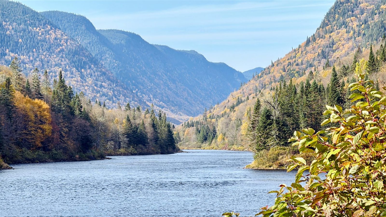
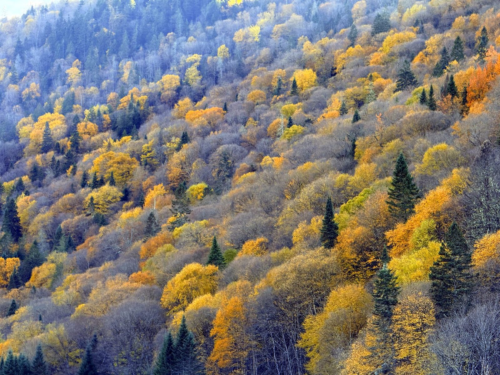
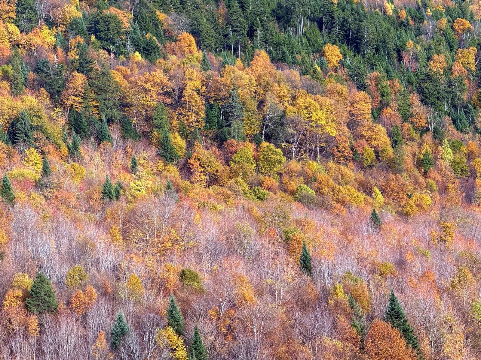
This fall day trip from Montreal showed us how fast the season moves. The Eastern Townships were heading toward peak, Quebec City was at peak, and the hills to the north, inside Jacques-Cartier National Park, were just past it, with plenty of bare branches and a lot of yellow. Within a few hours of driving we saw three different stages of fall.
It is a long day. Montreal to Quebec City is about 250 km (155 mi), roughly three hours each way by Highway 20, and the park is another 40 km (25 mi) north, about half an hour, for roughly 290 km (180 mi) in total. We left around 9:30 a.m. and got back late that night. It was a fun day.
In order: poutine in Saint-Hyacinthe, a walk in the park, Montmorency Falls at closing time, sunset over the Plains of Abraham, and dinner in Quebec City’s Saint-Sauveur district.
The tip worth taking from this post is about the falls. When we pulled in around 5:30 p.m. in mid-October, the ticket gate was up. We drove in, parked and walked to the falls without paying. Only the cable car, the visitor center and the gift shop were closing. Details in Know before you go.
A poutine stop at Fromagerie Victoria
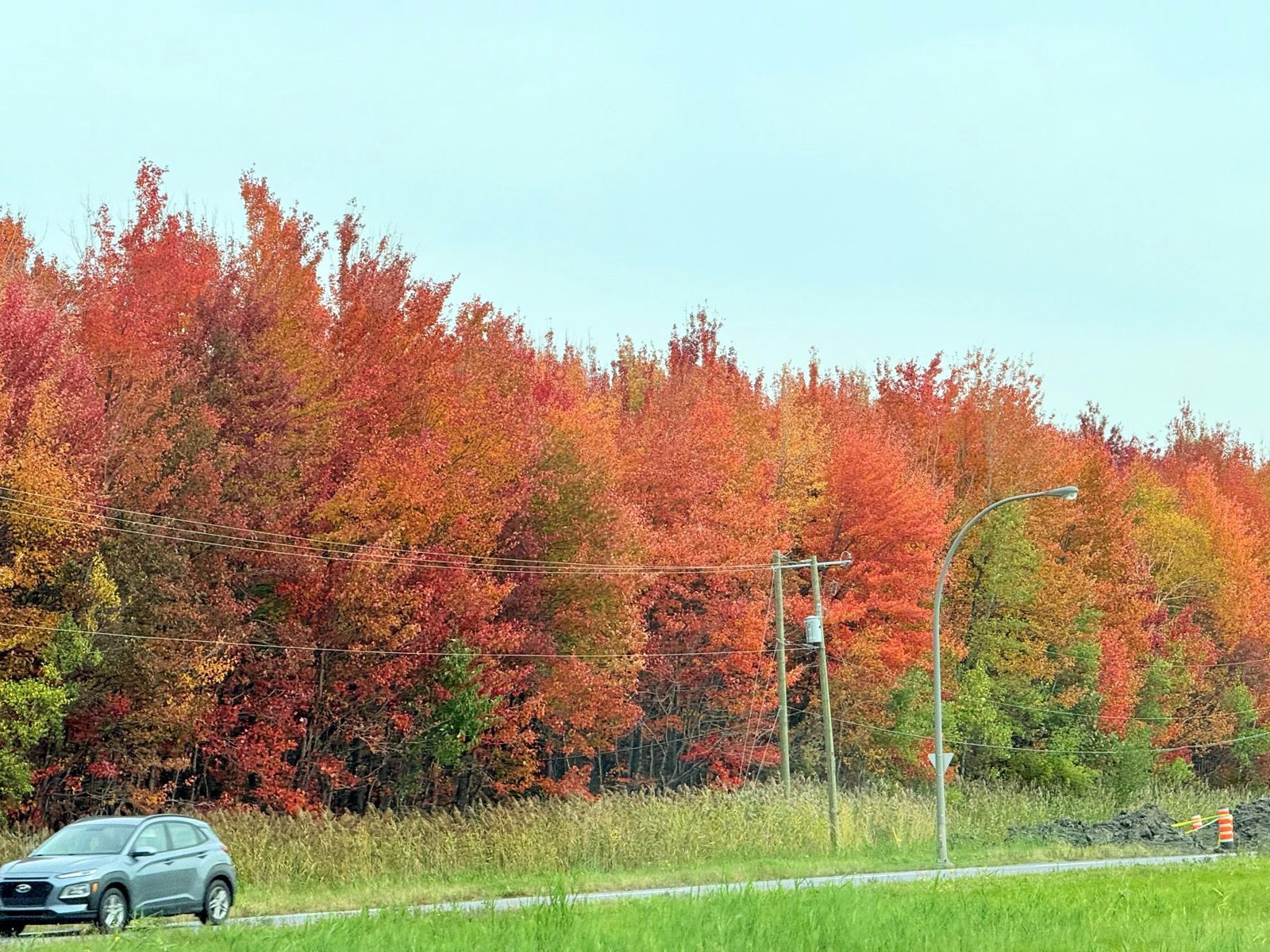
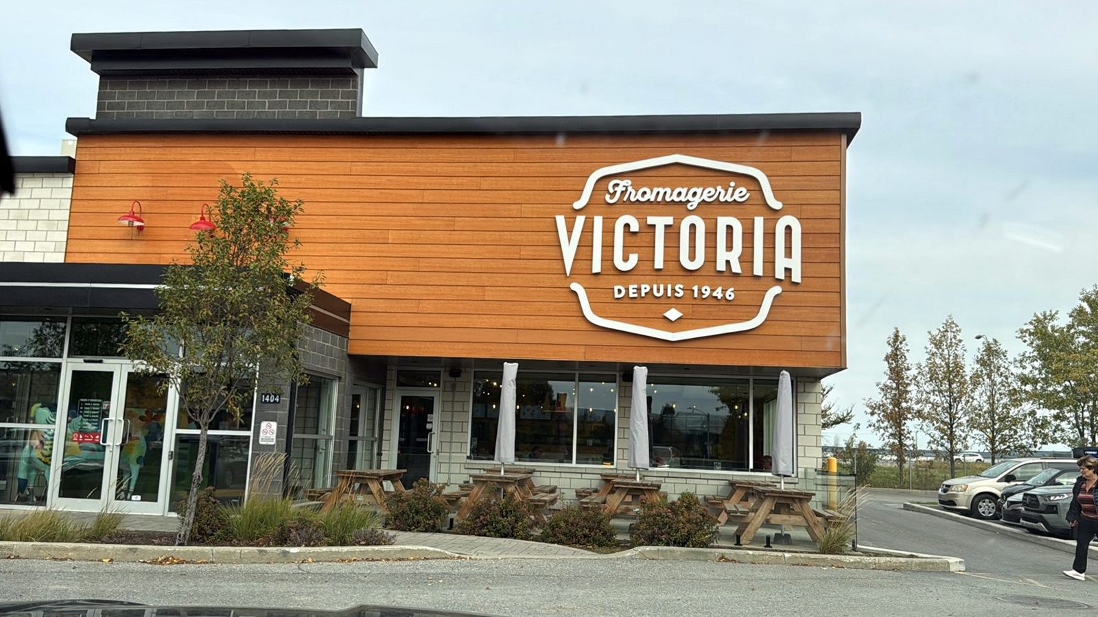
We left Montreal around 9:30 a.m. On the way to Saint-Hyacinthe the roadside trees were in full color, red in many places. Around 10:40 we reached Fromagerie Victoria, a casual cheese-shop restaurant from a chain that started in Victoriaville. Several local people around us had recommended its poutine.
If you haven’t had poutine, it is fries topped with cheese curds and gravy. You order at a self-service kiosk, and the menu lists poutines with names like Steak Philly, Grand Club and Brooklyn, plus burgers. We ordered a small poutine with Steak Philly topping, a Boucanier burger plate and chicken nuggets for our kid. When we visited, many of the diners were older customers.

Montreal has a handful of well-regarded poutine spots. This is the one I remember liking most.
Fields, hills and a manure spreader
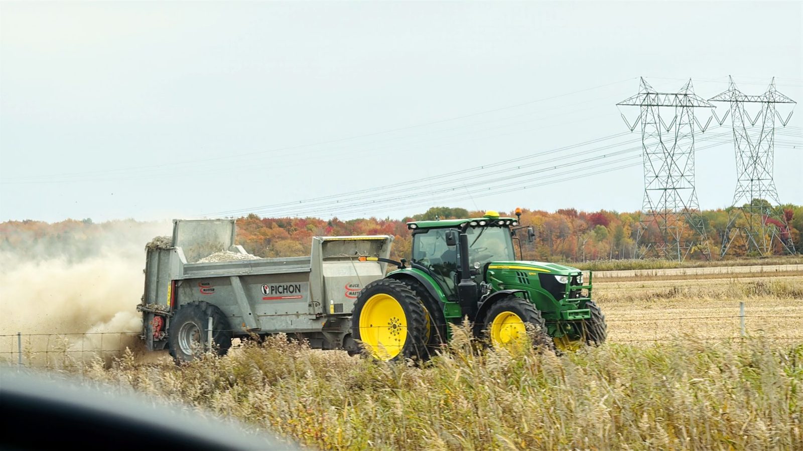
After lunch we kept driving toward Quebec City. We passed a sunflower field, and on one farm a green John Deere tractor was spreading something with a machine behind it. I wondered whether it was seeding or spraying, and the photo later showed a manure spreader. Quebec’s rules on agricultural facilities generally allow manure spreading from April 1 to October 1, with exceptions after that date, such as under an agronomist’s plan. It is a known fall job on harvested fields, which fits.
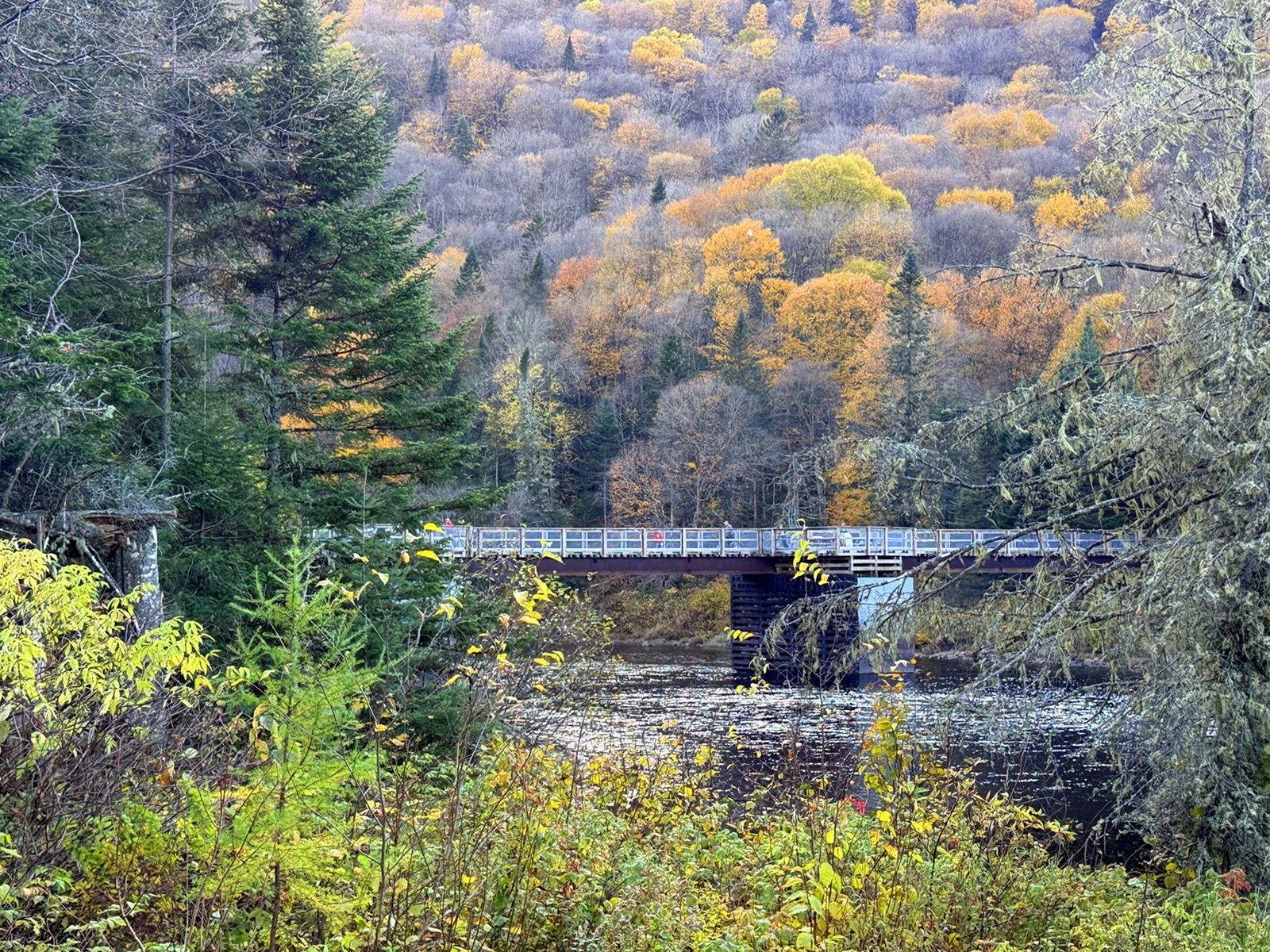
Near Quebec City the road kept climbing and dropping, and each crest opened onto a valley of villages and fall forest. We also passed near Chaudière Falls (Chute de la Chaudière), where we had stopped this summer. North of the city, heading toward the park, dark evergreens mixed with yellow and red maples along the road, a combination that stood out to us. Higher up, the hills turned from yellow toward a grayer, paler tone.
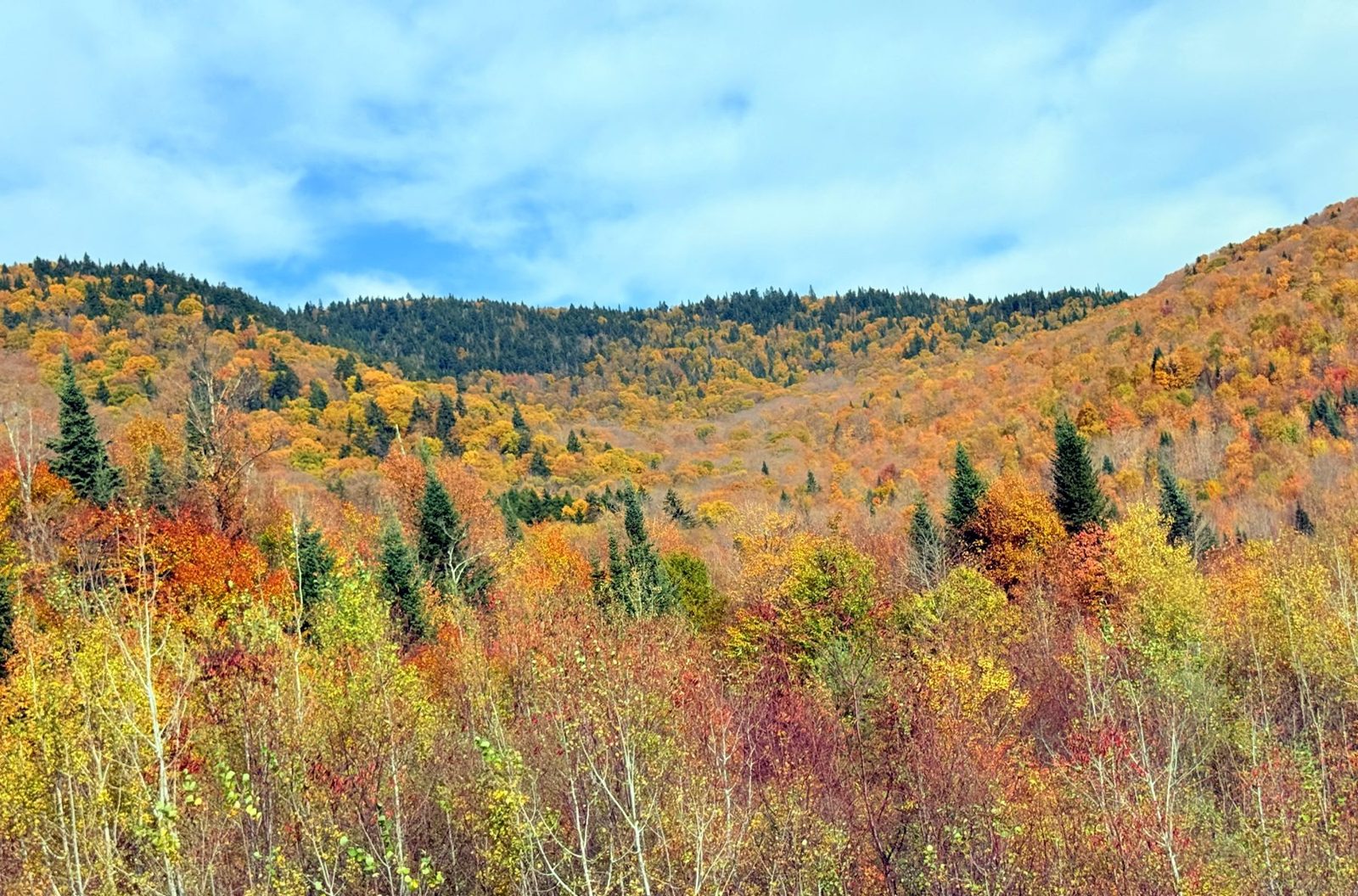
Jacques-Cartier National Park: the valley and Les Cascades
Parc national de la Jacques-Cartier is about 40 km (25 mi) north of Quebec City, roughly 30 minutes by car (take Route 175 north to exit 182, then Chemin du Parc-National). We passed the gate around 1:50 p.m. and got in with our Sépaq annual pass. Sépaq is the agency that runs Quebec’s national parks.
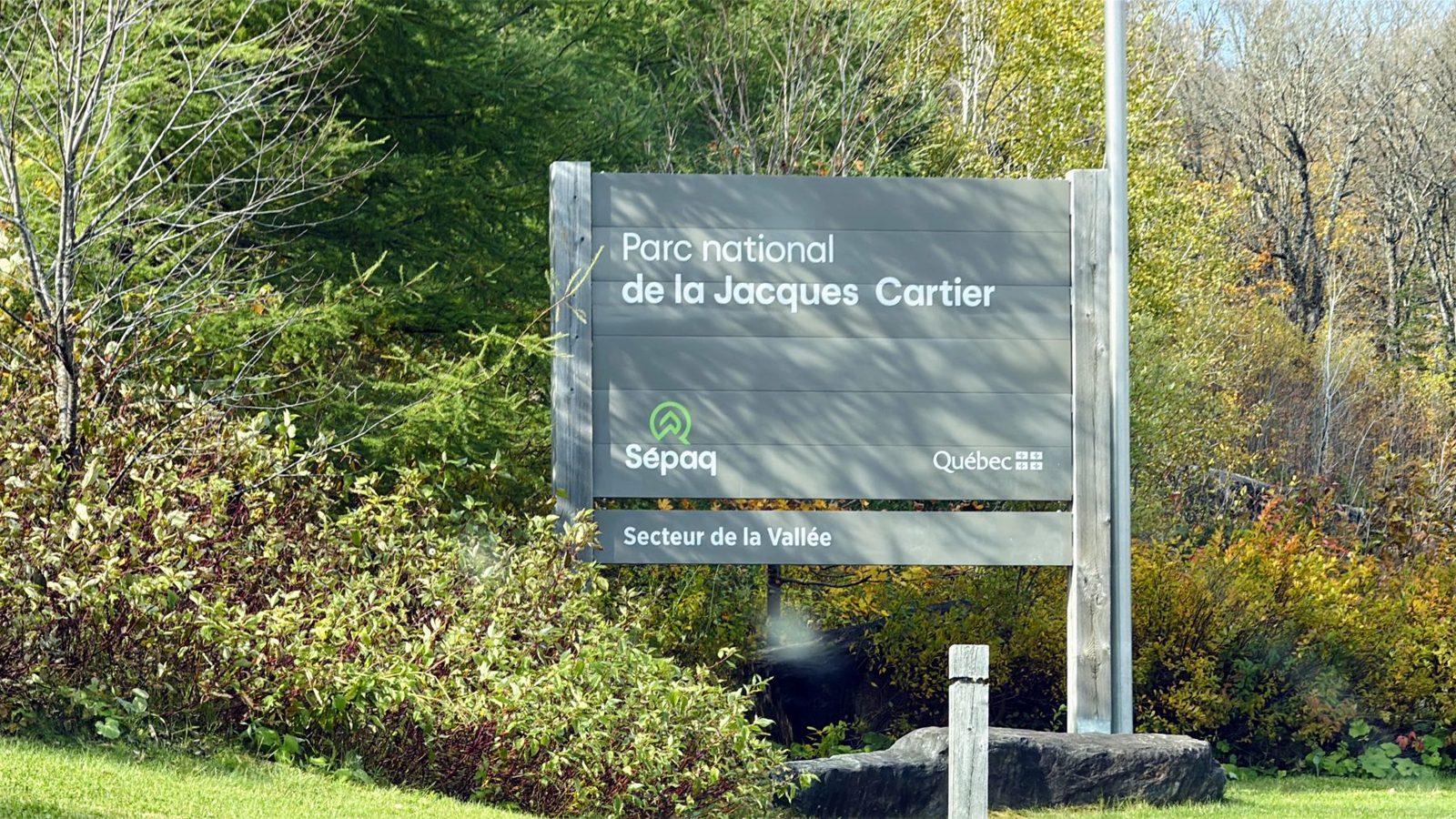
From the gate to the welcome center
The welcome center (Centre de découverte et de services) is about 10 km (6 mi) from the entrance, and the drive took us about 25 minutes. The road follows the valley. There are pull-offs on both sides, so you can stop wherever the river and the hills line up. Sépaq describes it as one of the most impressive glacial valleys in Quebec, more than 550 m (1,800 ft) deep.
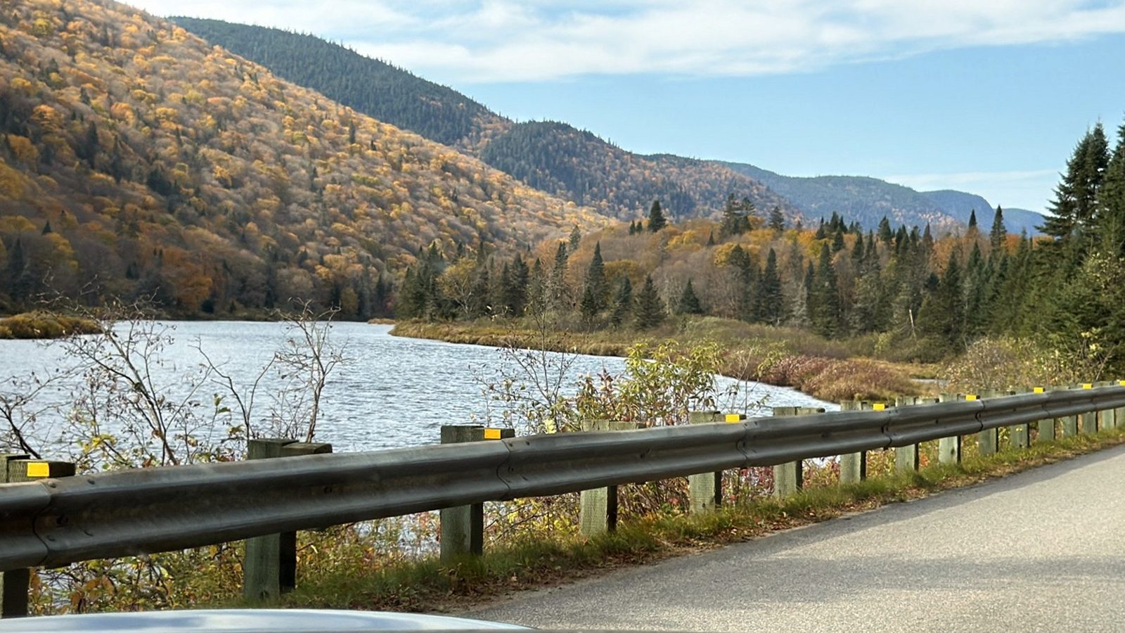
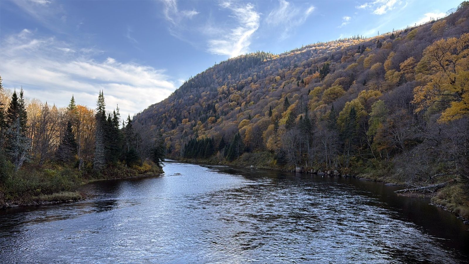
The welcome center and a rally backpack
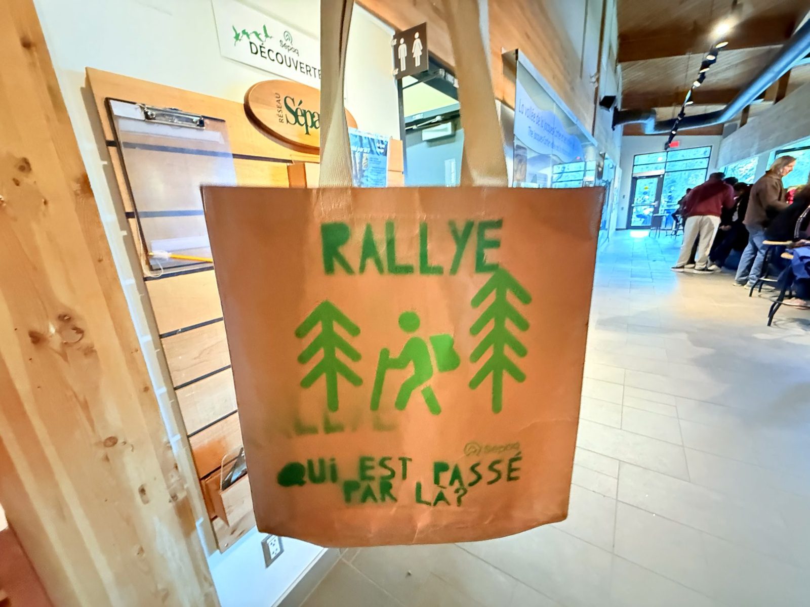
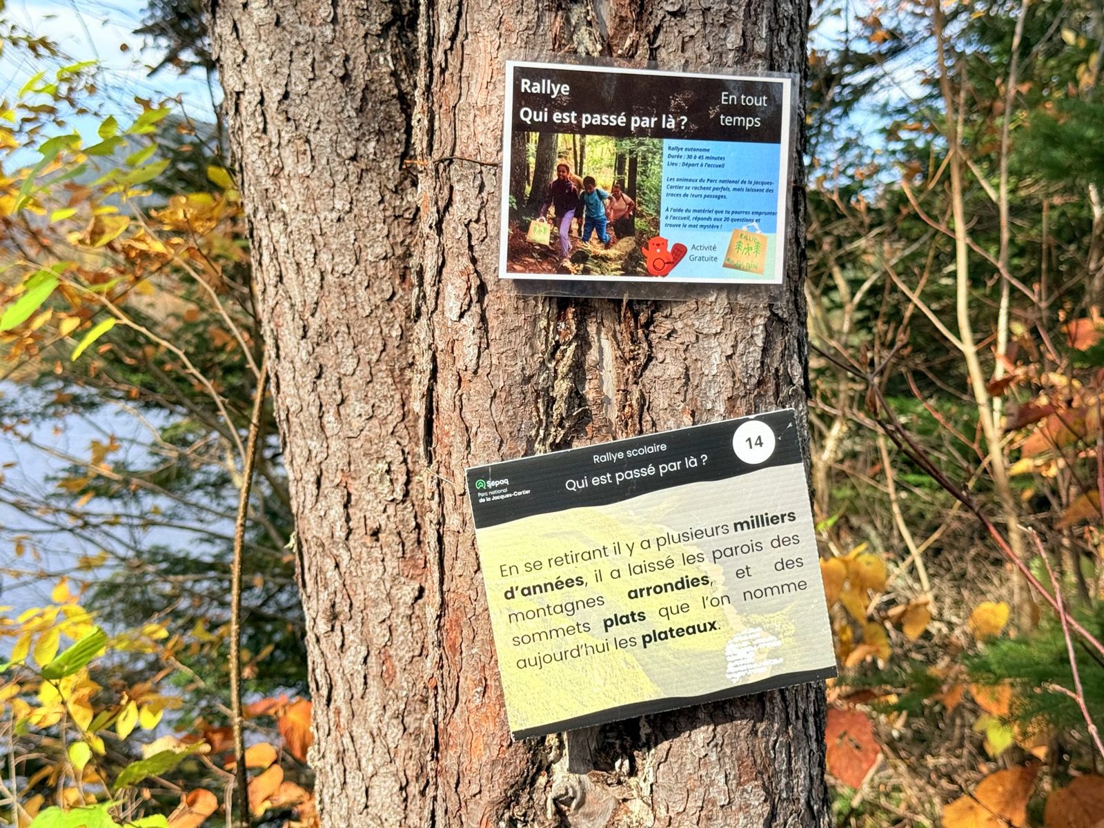
The center has a gift shop and information boards. Our kid borrowed a rally backpack here, Qui est passé par là ? (“Who passed through here?”), and returned it after the walk. Signs on the trees along the trail work as question and answer. The question is the one on the backpack, and the answer said that when the glacier retreated thousands of years ago, it rounded off the mountain walls and left the flat tops now called plateaux.
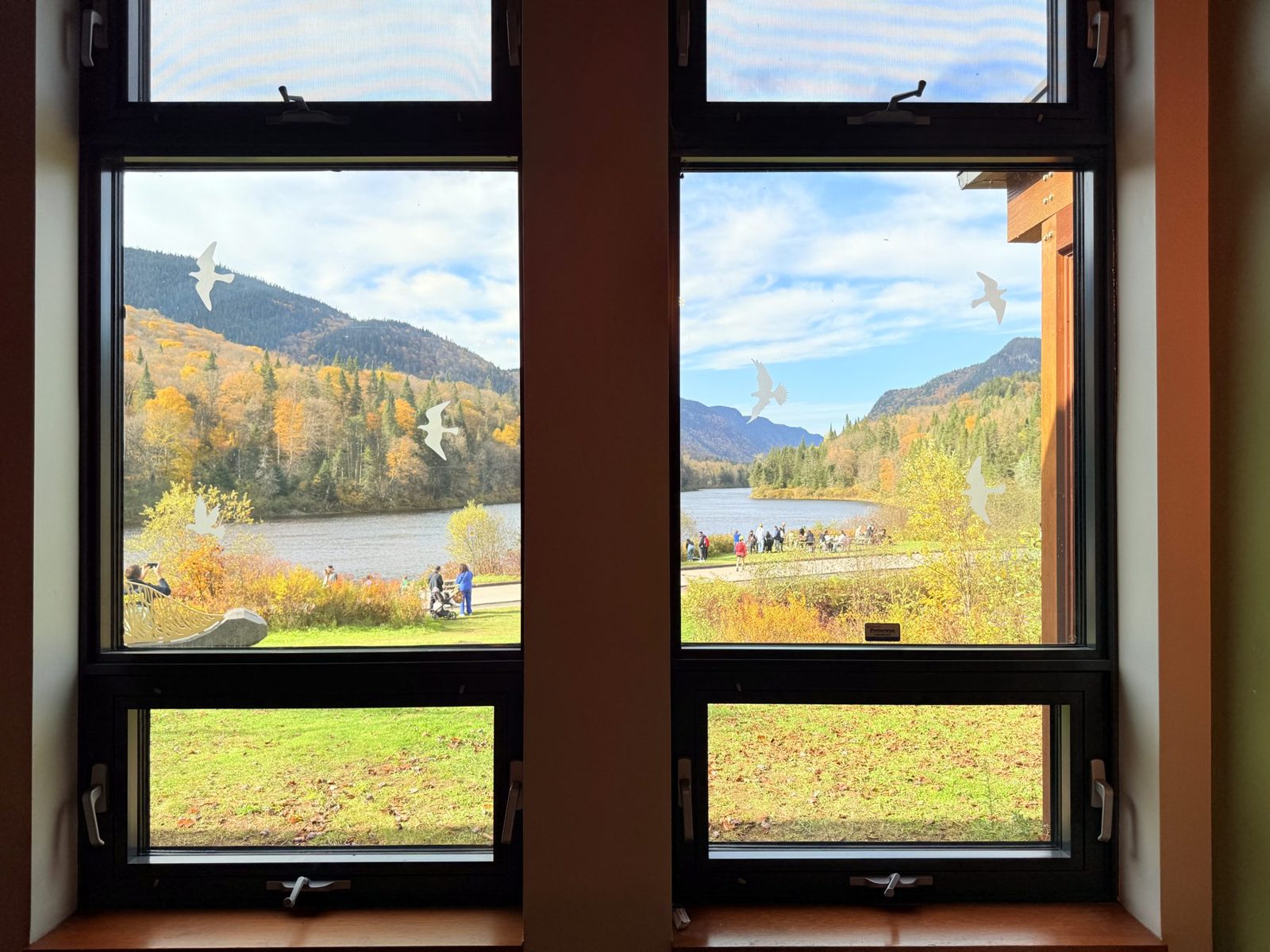
Behind the center, the view takes in the river and the mountains in one frame. You can see the same view from inside, where a long sofa runs along the windows.
The Les Cascades loop
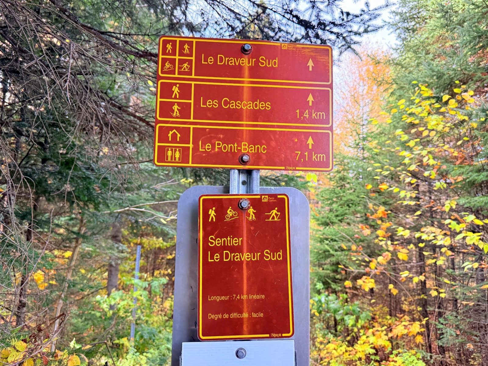
Les Cascades means “the waterfalls” in French. We started walking around 2:35 p.m. A trail sign pointed to Les Cascades, 1.4 km (0.9 mi) away. The loop we walked came to about 4 km (2.5 mi), with a few climbs and descents, and we were back at the start around 3:30 p.m.
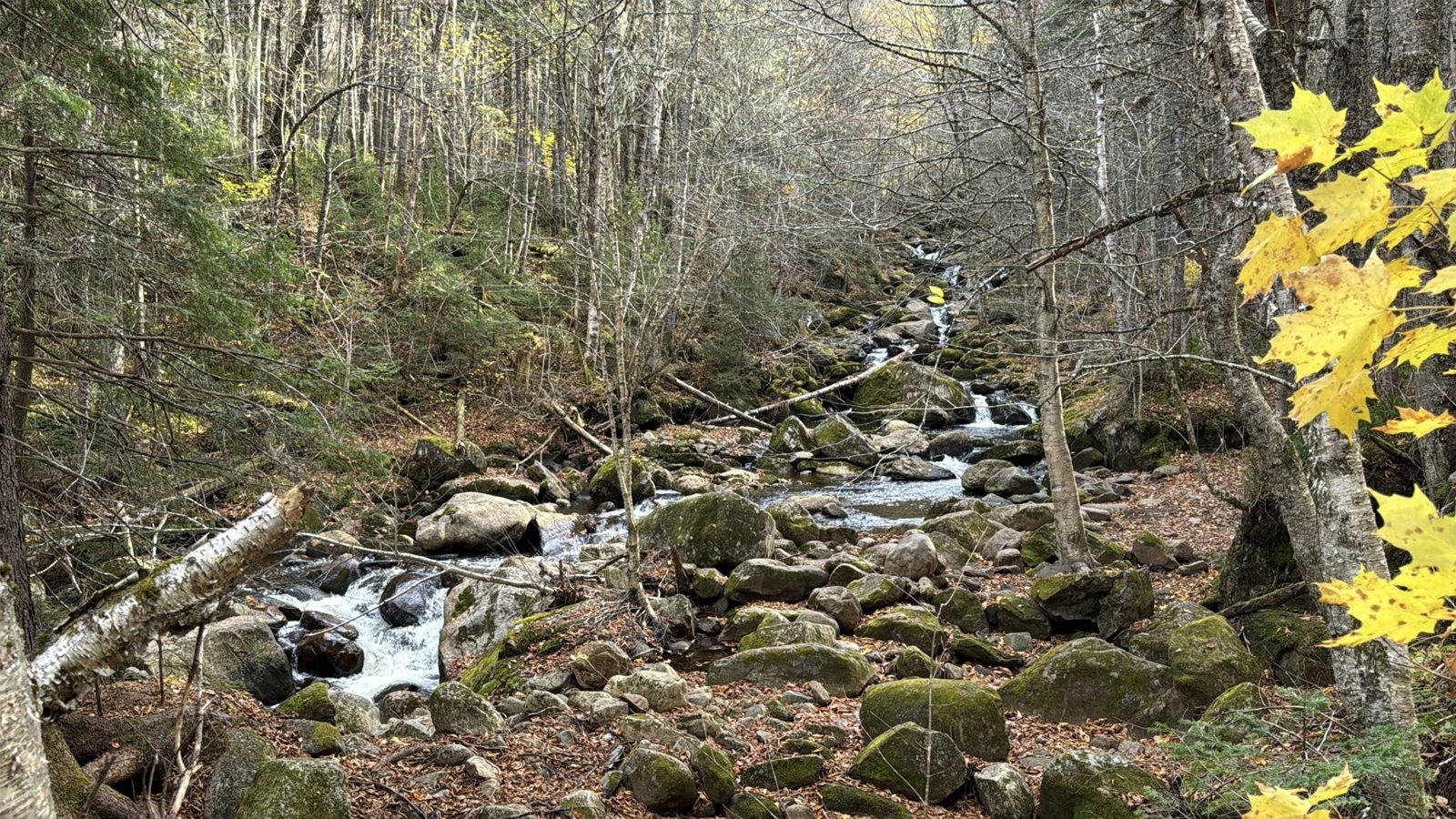
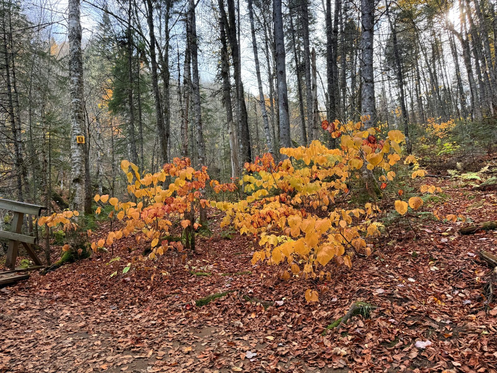
As the name promises, a stream runs alongside the path, with several small waterfalls. Don’t expect one big waterfall: it is a walk past a string of small ones. Yellow leaves piled up along the path, and many trees had lost most of their leaves.
The campaign that kept the valley wild
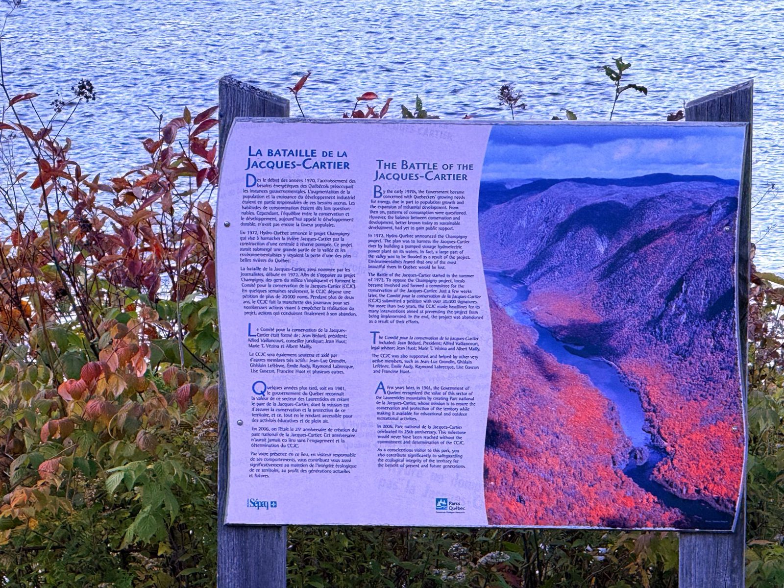
Near the center, a panel titled “La bataille de la Jacques-Cartier” tells how this valley stayed as it is. In June 1972, Hydro-Québec announced a pumped-storage hydroelectric plant, called Champigny, in this area, and the valley would have been flooded. Residents formed a citizens’ committee, gathered signatures (reportedly 20,000) and were joined by 46 mayors. The plan was cancelled in August 1975, and the area became a national park in 1981.
We left the park around 4:20 p.m. and returned the backpack on the way out. The park also has lookout trails that we didn’t get to, and next time I would like to try one. That day, a notice at the information office said the Les Loups trail was full (complet).
Seeing the park without driving yourself
If you’d rather not drive or pick a trail on your own, a guided hike is easier to plan around. This one leaves from Quebec City and lists park fees as included.
Montmorency Falls at closing time
With time to spare before dinner in Quebec City, we stopped at Montmorency Falls (Chute Montmorency). We have been several times, but never in fall. The falls drop 83 m (272 ft), about 30 m (98 ft) more than Niagara Falls, according to Bonjour Québec.
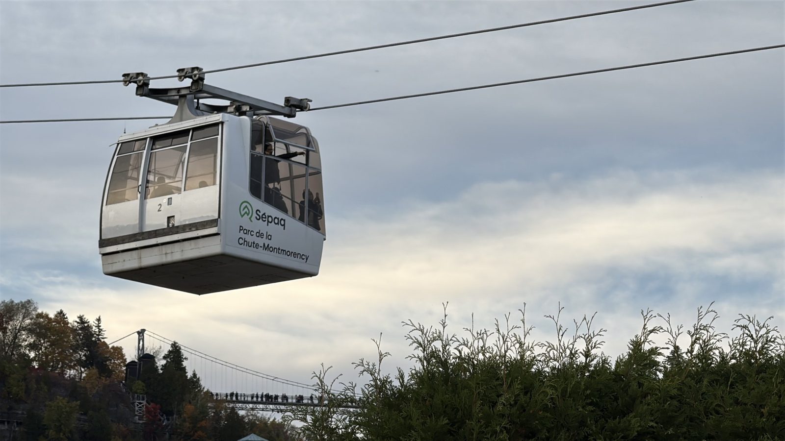
We pulled in around 5:30 p.m. The gate was up at that hour, so we drove in and parked without paying. When the gate is down, you buy a ticket there: adults C$13.90 plus tax, 17 and under free. The Sépaq national parks annual pass is not valid here, and residents of the Quebec City area get in free with proof of residence. Sépaq’s hours for that week ran to 5:30 p.m. for the cable car, visitor center and gift shop, so those were wrapping up as we arrived. Walking and looking at the falls were still fine.
The gift shop
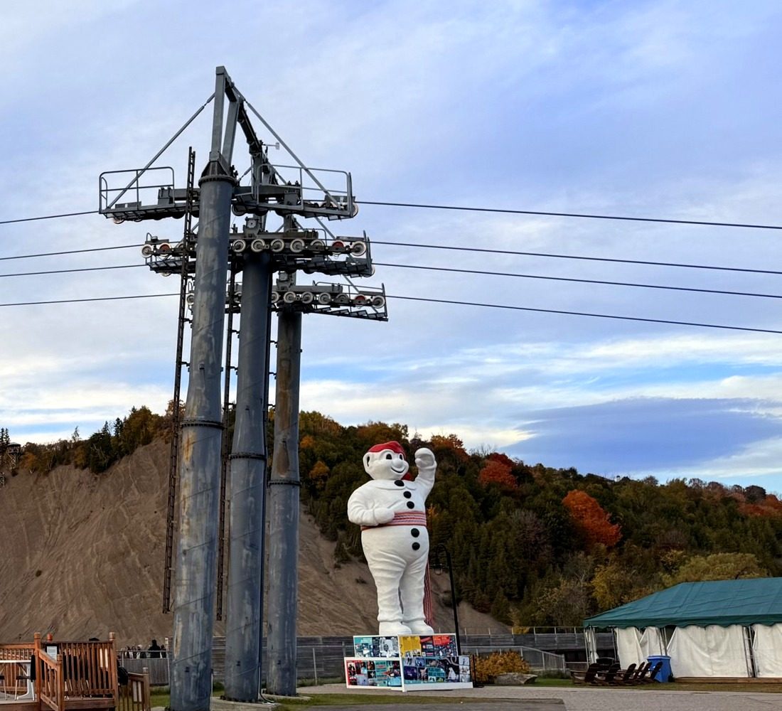
The shop was closing, so we had a quick look around. It stocks Quebec City clothing and plush toys, plus plenty of merchandise for Bonhomme, the snowman mascot of Quebec’s Winter Carnival. A Bonhomme statue stands behind the shop.
The left-hand path
From the parking lot, the right-hand path leads to the base of the falls and the staircase up the cliff, and that is where we had always gone. This time we tried the left-hand path for the first time. It is a wooden boardwalk through trees in fall color, with a blue Bonjour Québec photo frame set up with the falls behind it. It gave us a slightly different angle on the falls than the usual one.
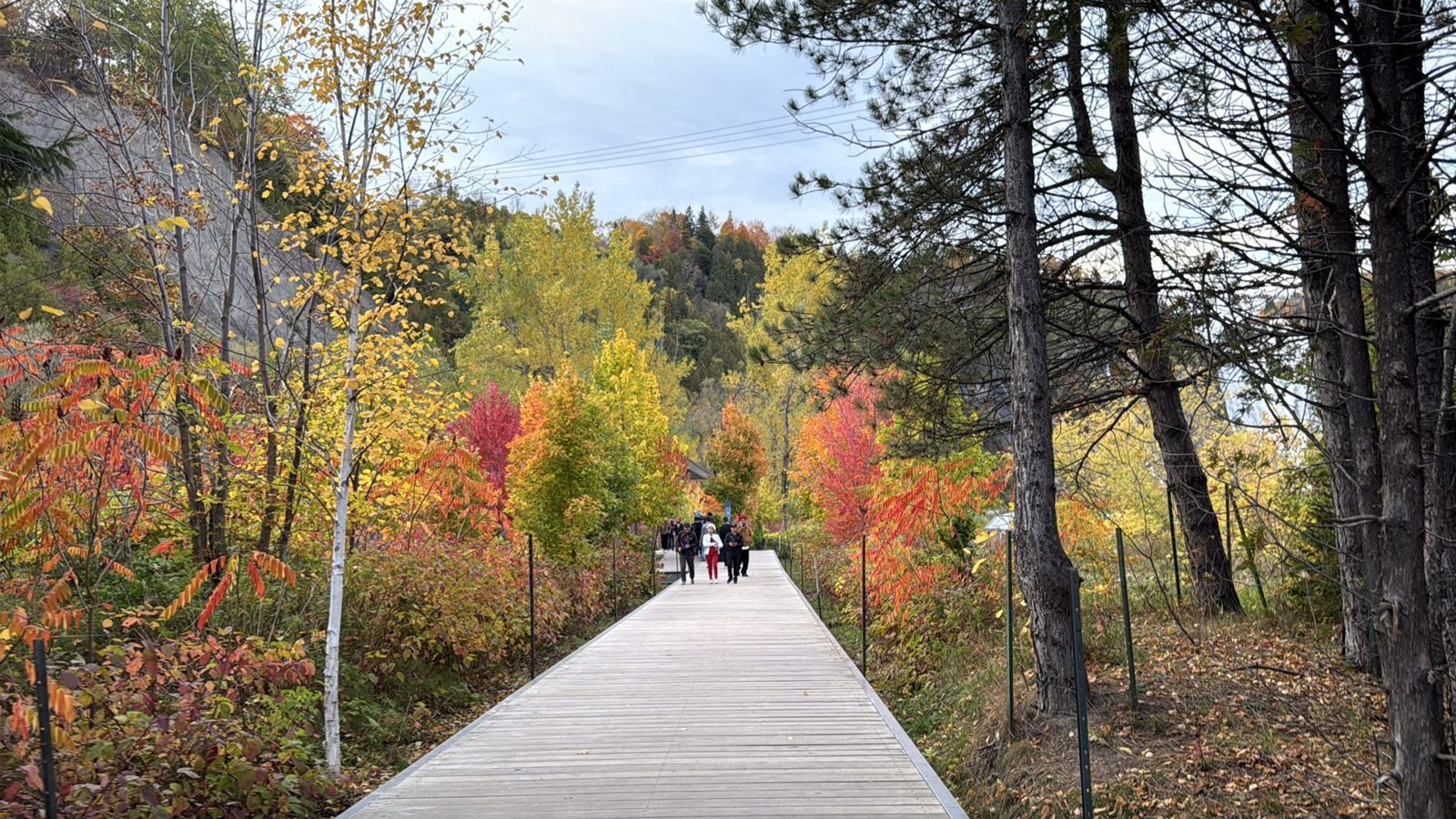
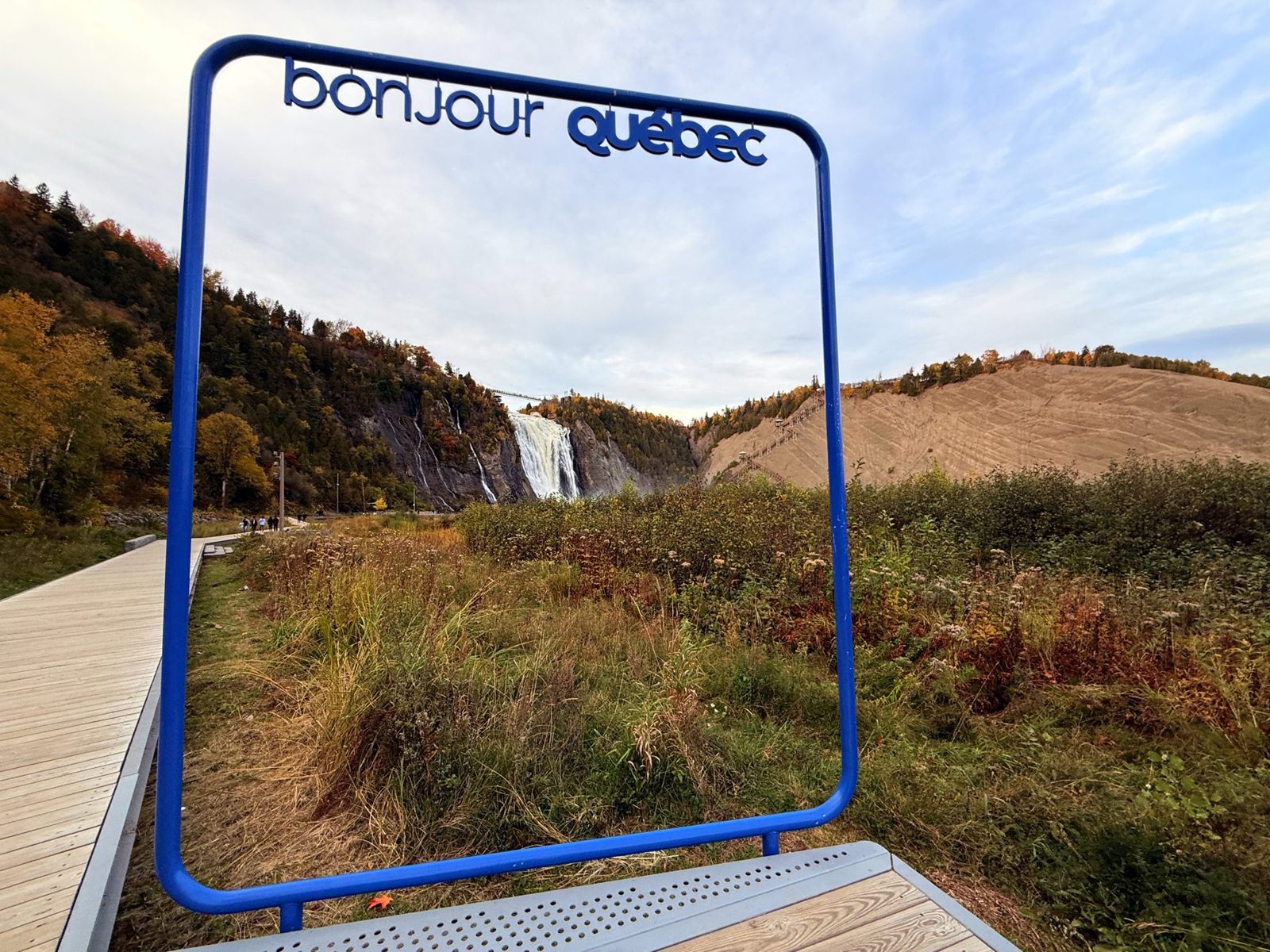
The water’s edge at the front of the falls is easy to reach. Last summer we went up to the bridge over the top of the falls, but this time we stayed down at the bottom and watched the trees around the falls, with the bridge high above.
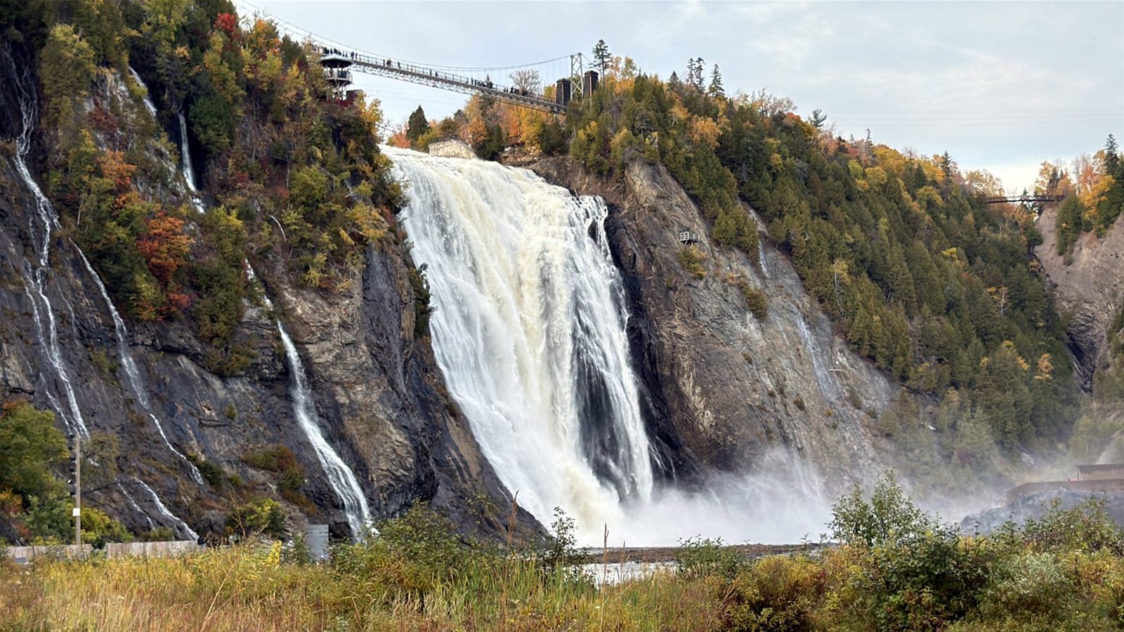
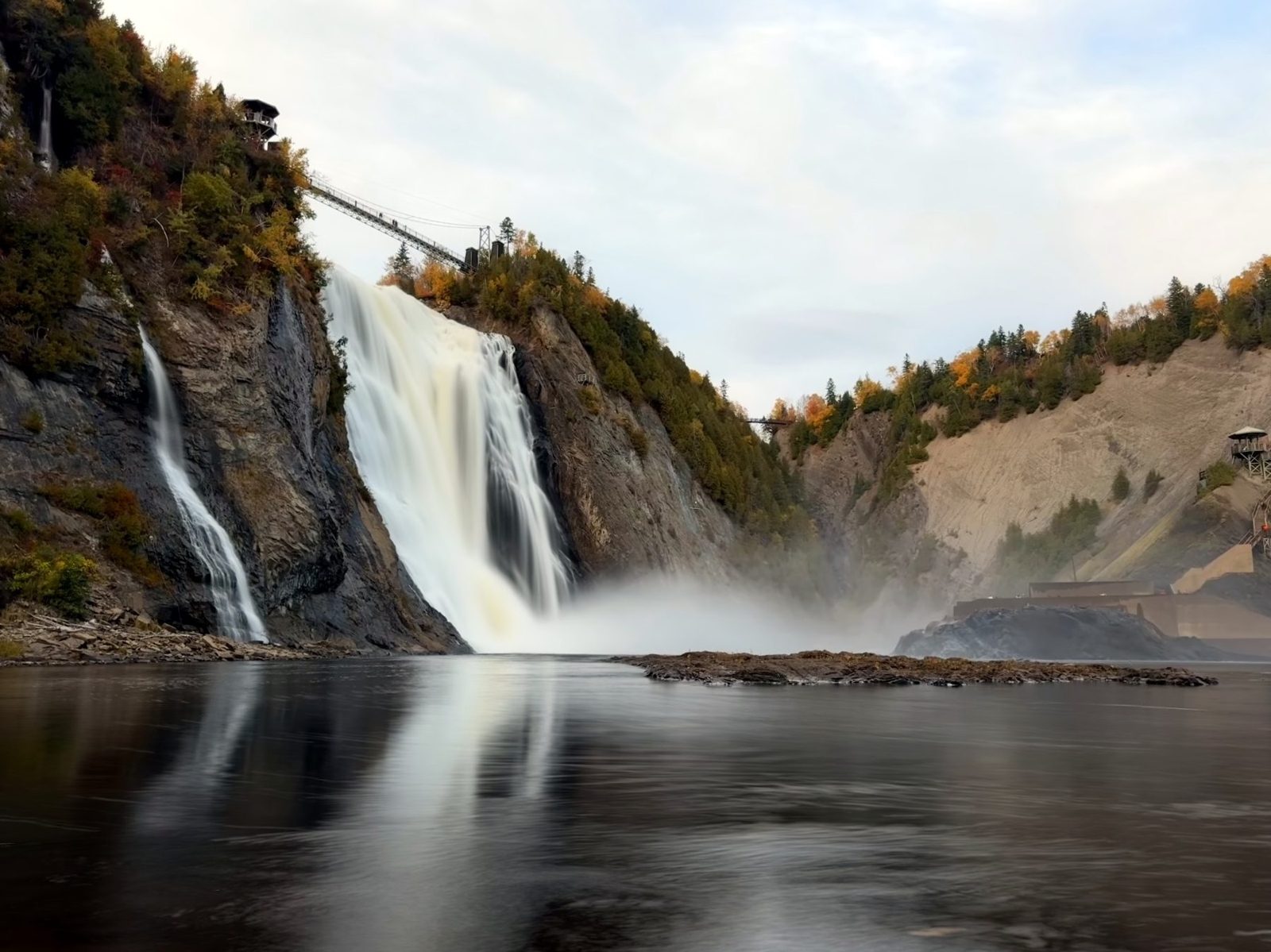
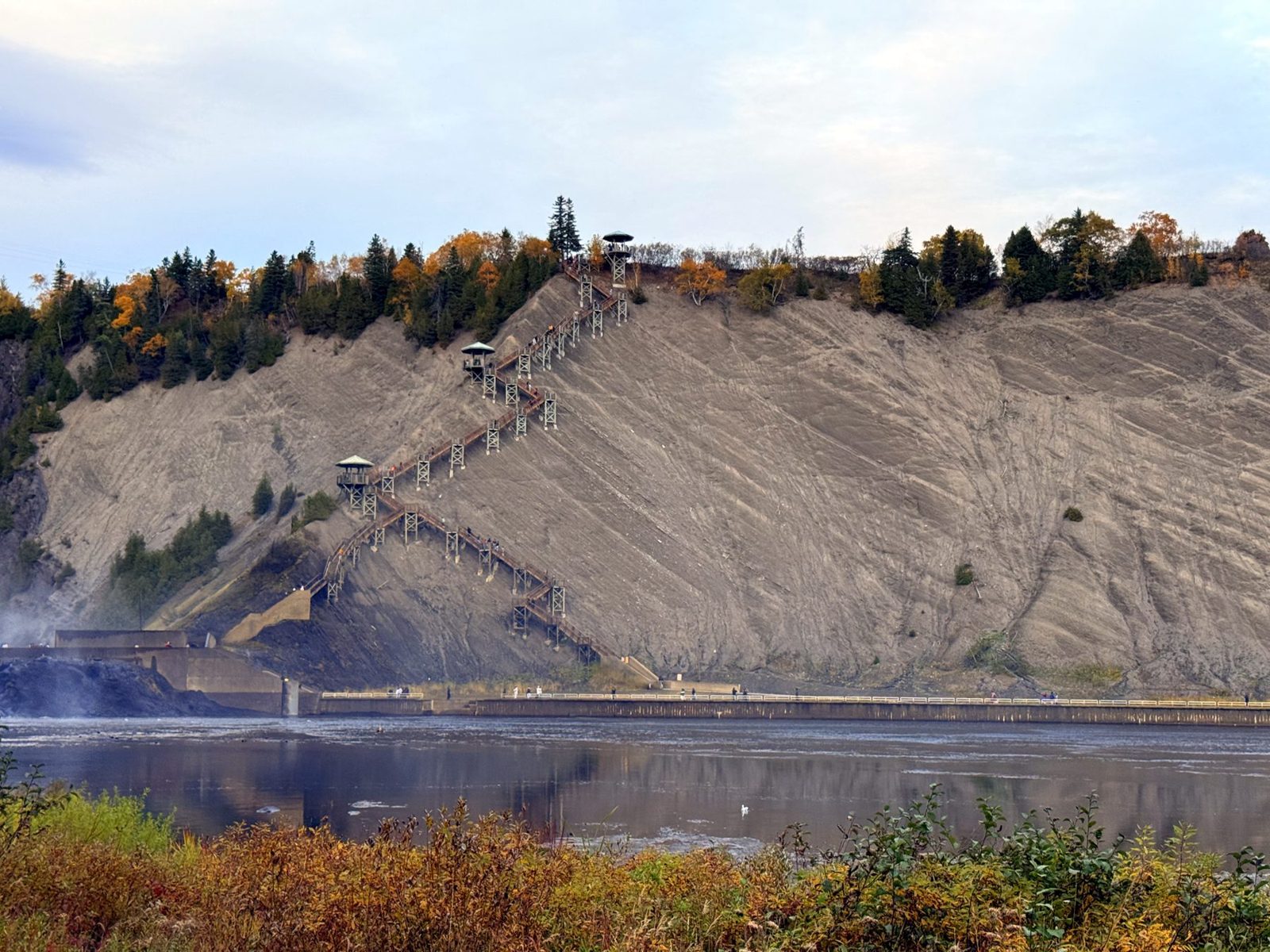
We left around 6:00 p.m. and headed for Quebec City.
Making a day of the falls
If you plan to ride the cable car or cross the suspension bridge, go earlier in the day. These options let you compare that with a day tour from Montreal.
The Plains of Abraham at sunset
We had been to Quebec City several times, so this post only covers where we went that day. We drove across the Plains of Abraham, and the plains are much bigger than I expected. They cover 98 hectares (242 acres) and are where British and French forces fought on September 13, 1759. Bonjour Québec’s foliage map had this area at “near peak” that morning. In person it looked at peak to us.
The sky went from violet to a vivid, almost fluorescent red. We pulled over where we could park and watched it for a while.
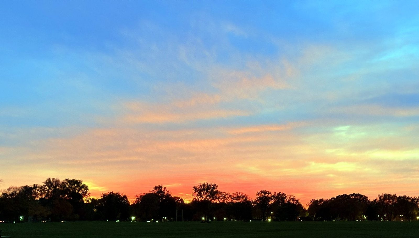
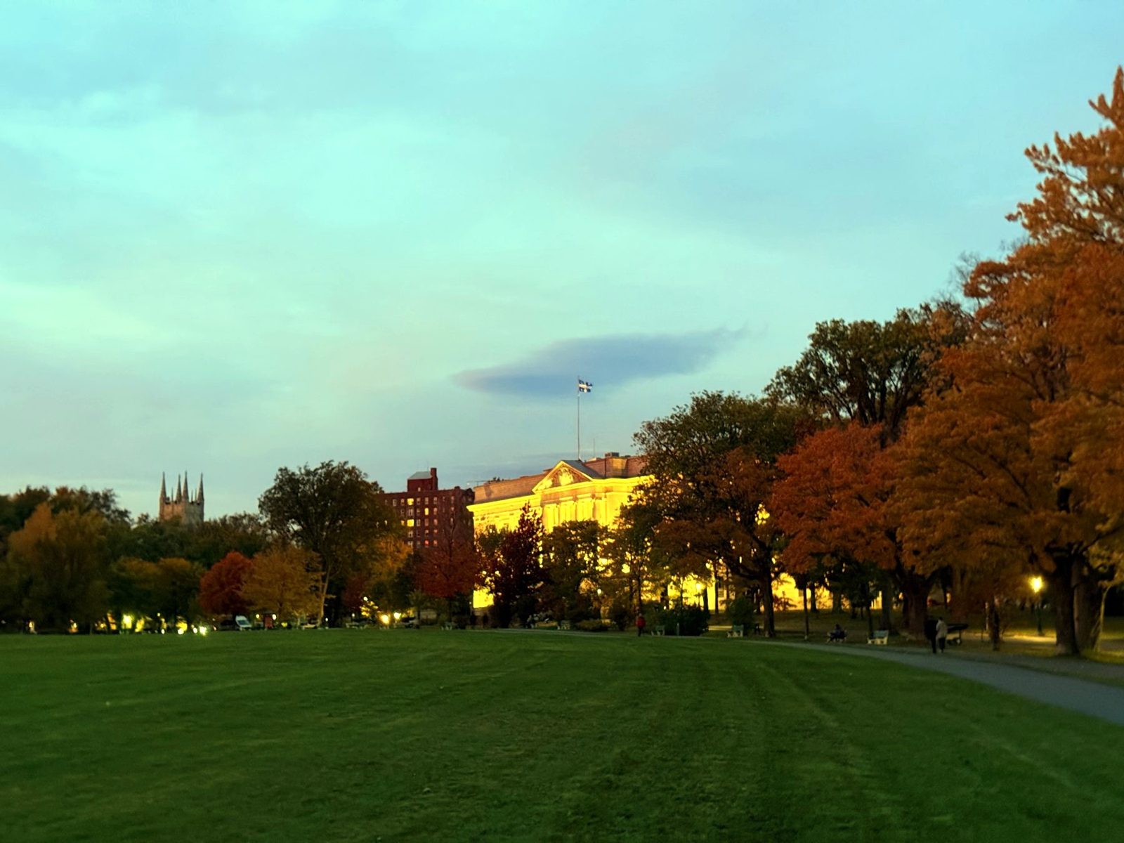
At the edge of the plains, the main building of the Musée national des beaux-arts du Québec (the Quebec National Museum of Fine Arts) was lit up, with the Quebec flag on top. It was dark by then, but we still walked along the trees, and each of us picked the best leaf we could find and compared.
Walking Quebec City with a guide
We saw very little of the old town. If you want the history behind it, a guided walk is an easy way in.
Dinner in Saint-Sauveur
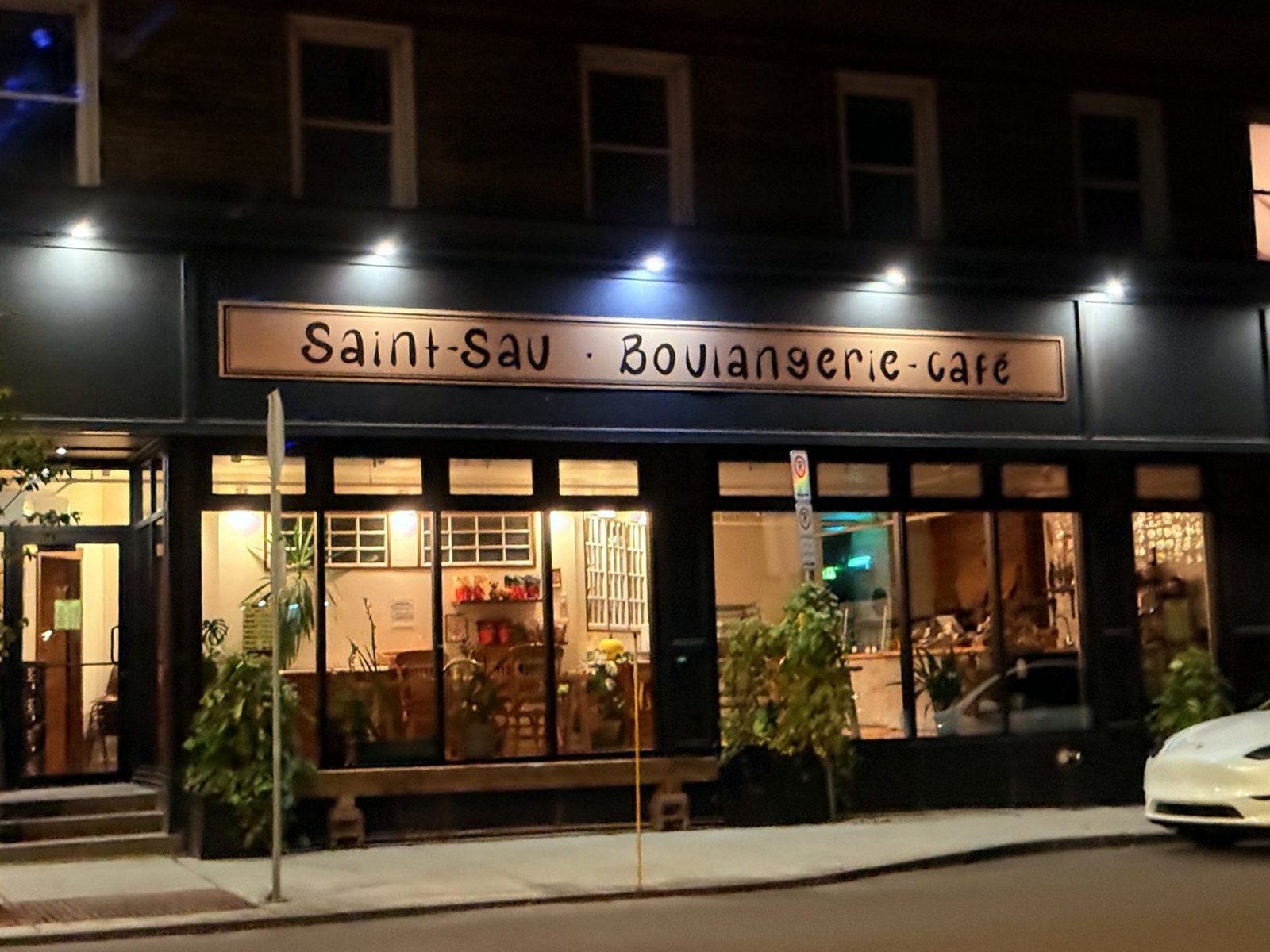
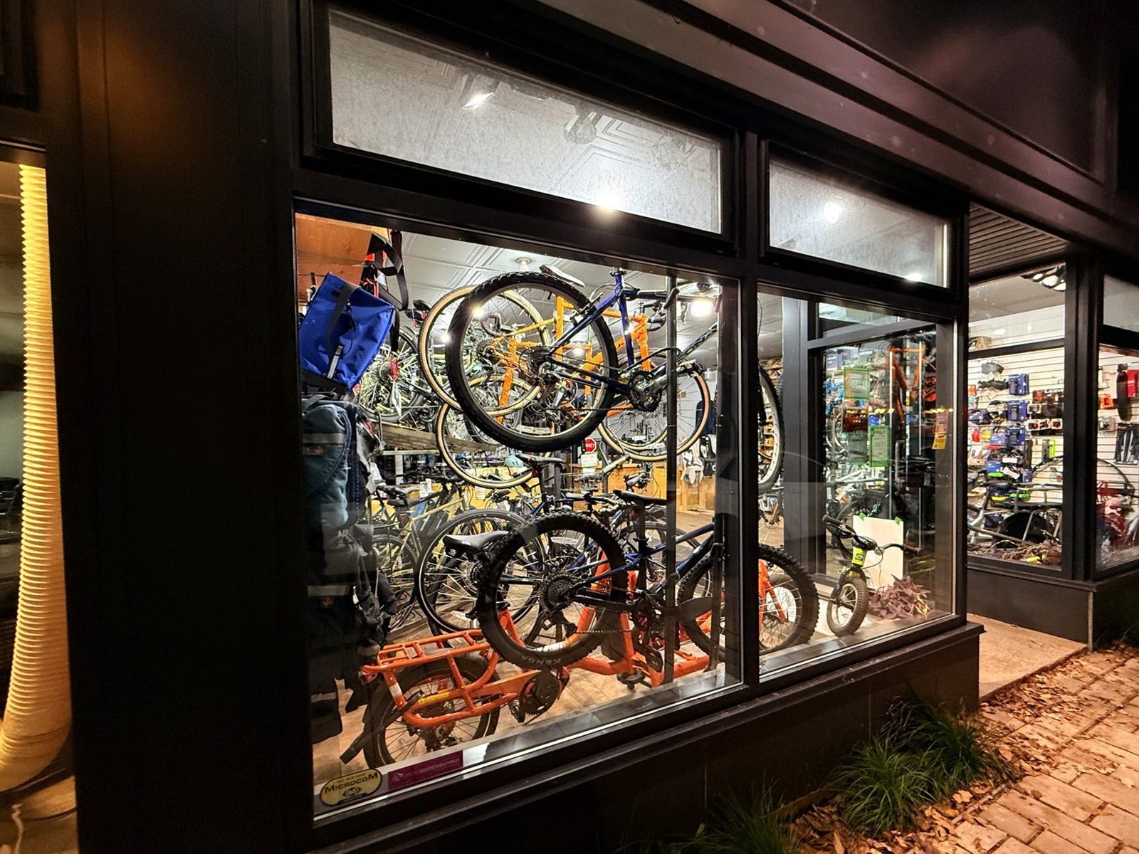
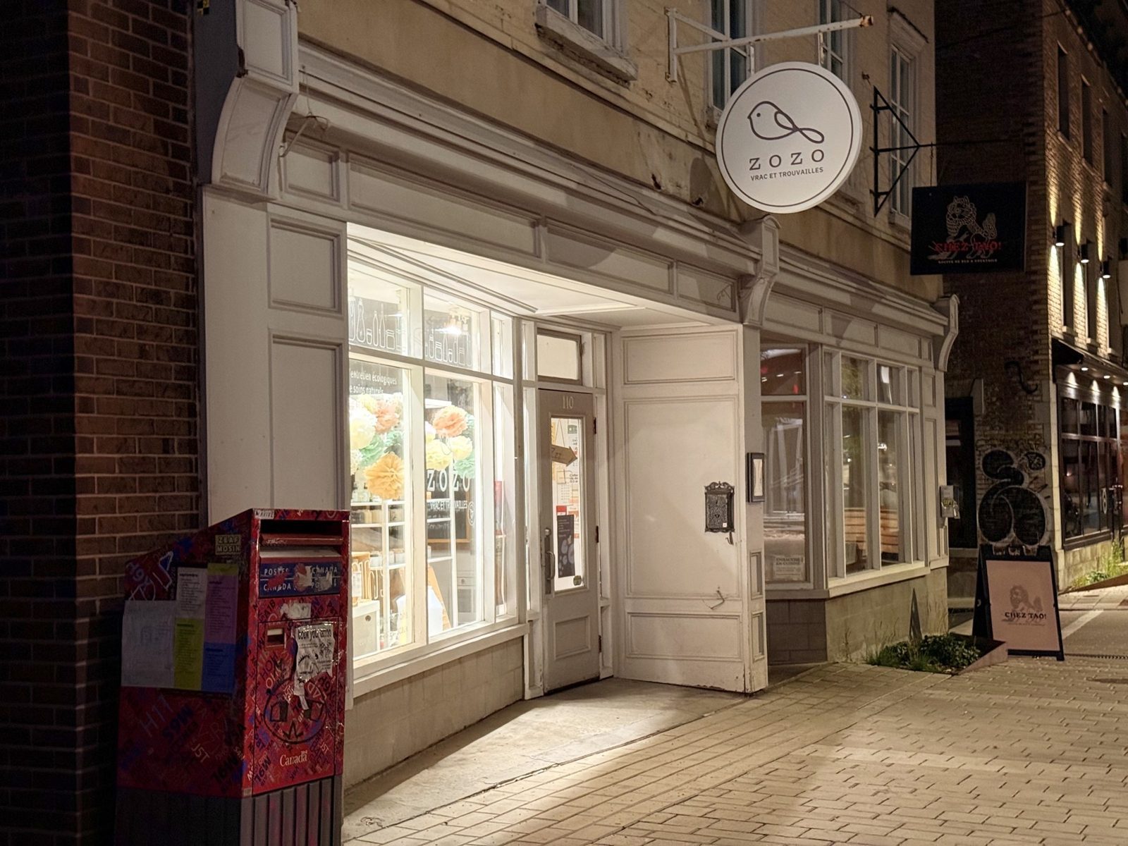
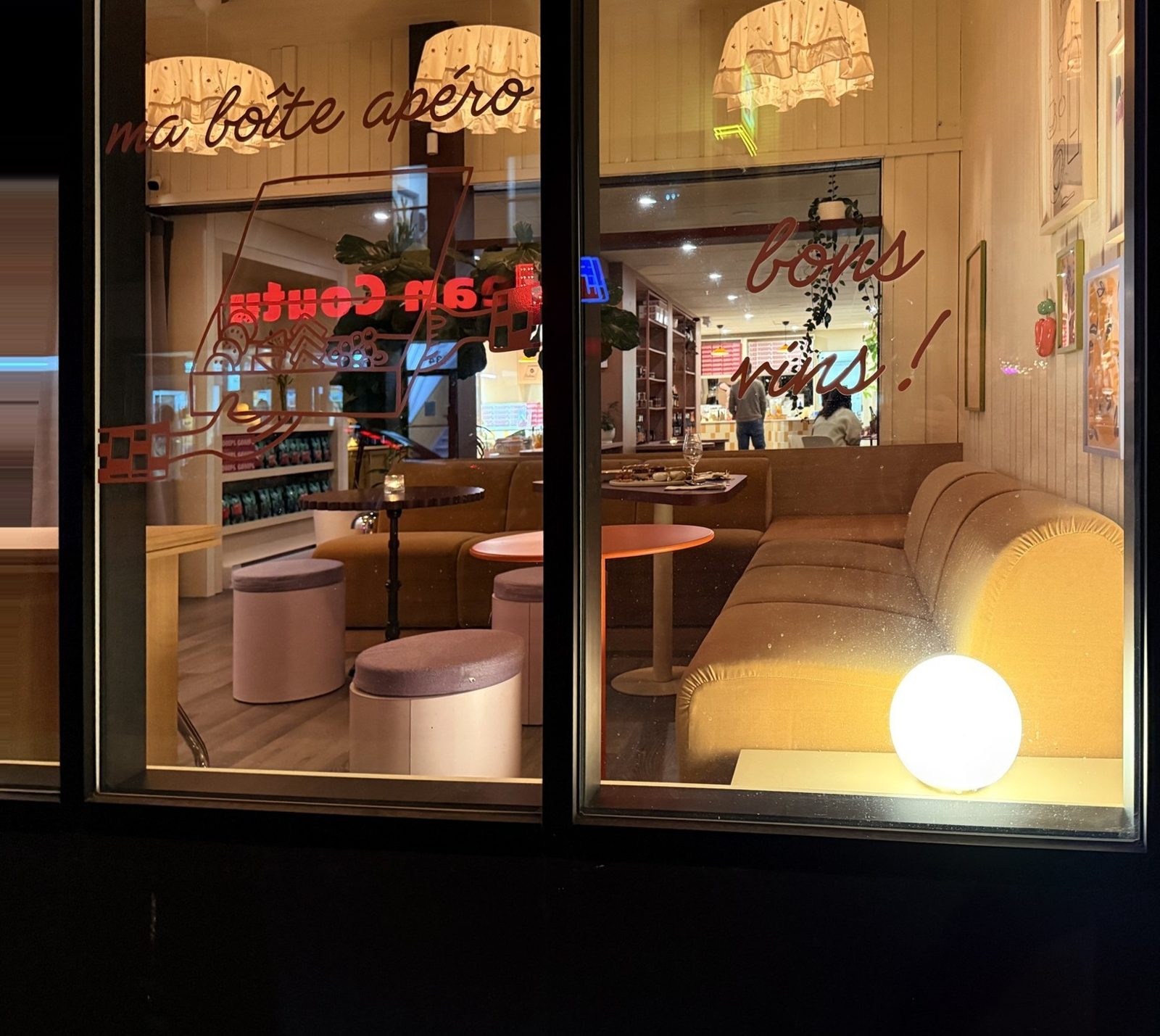
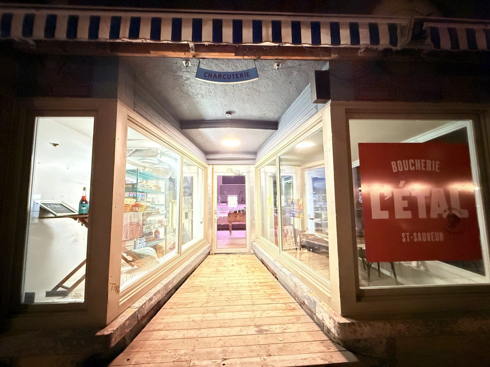
We had meant to eat earlier, but the day ran long, so we decided to have dinner in Quebec City. Walking around, we came across rue Saint-Vallier Ouest in the Saint-Sauveur district. It is lined with cafés, a bakery-café called Saint-Sau, bike shops and small shops. Quebec City tourism describes the street as relaxed and unpretentious, and it felt that way to me, a neighborhood street rather than a sight. After the old town’s stone buildings, it was a surprise to find this in the same city.
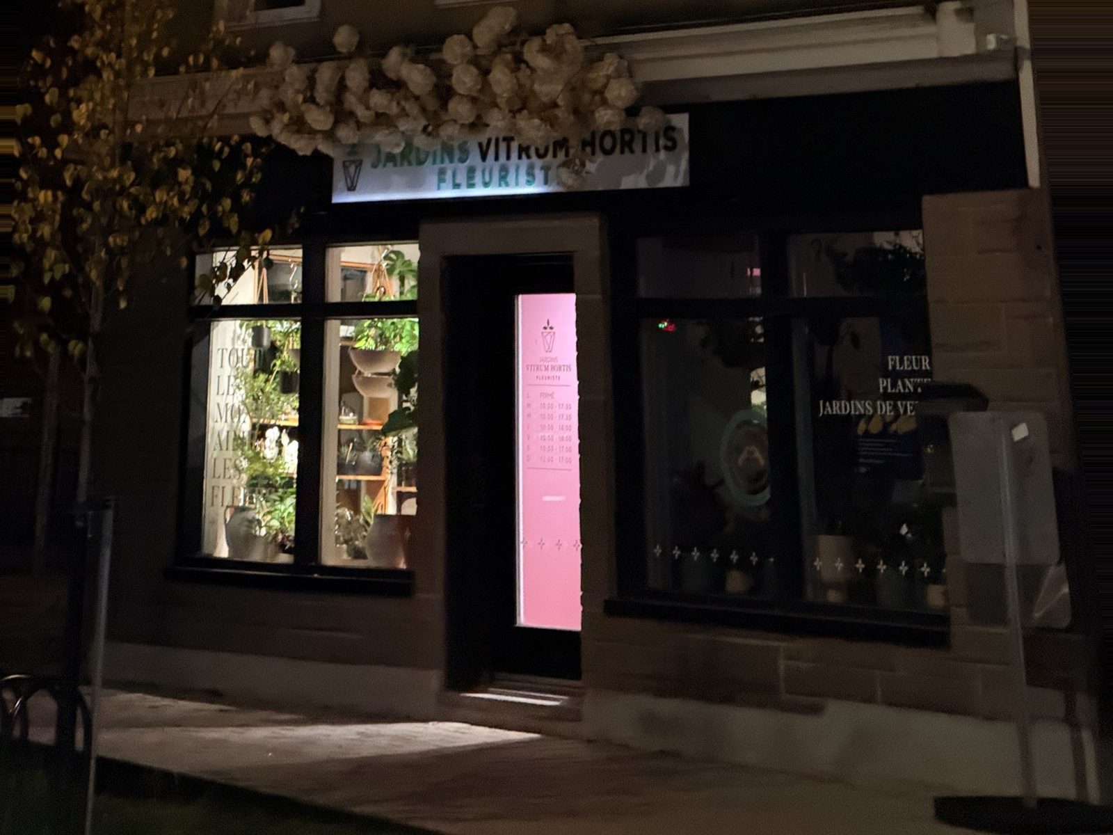
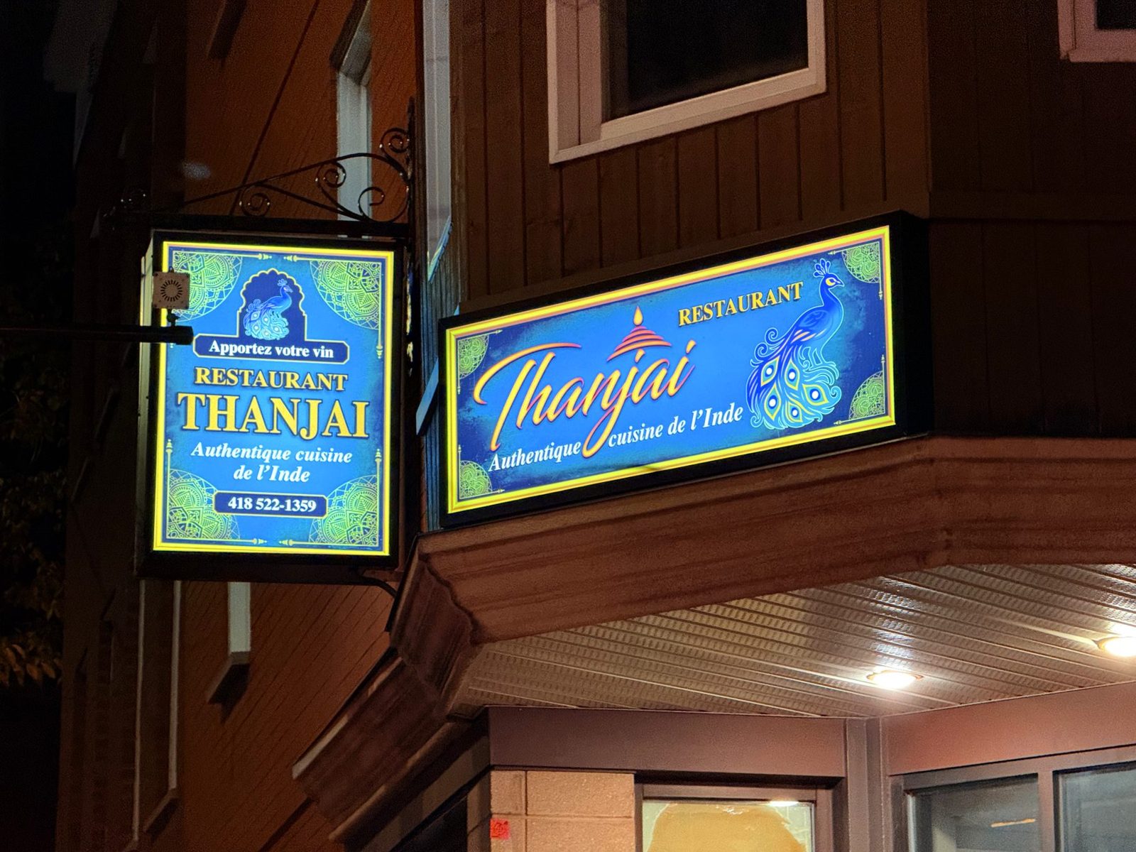
Restaurant Thanjai
We had hoped to go back to El Poblano, a Mexican restaurant we liked on an earlier visit for its low prices, but it was closed that Sunday. Maybe next time. Instead we went to Restaurant Thanjai, a South Indian restaurant at 250 rue Dorchester with a high Google rating. It was clearly popular with locals, and the line behind us kept growing. We arrived around 7:20 p.m. and waited about 40 minutes for a table, and the food took a while too. The food was good and the prices were fair. We ordered Chettinad chicken curry, chicken kothu with Thanjai salna, ghee rice, garlic naan and Chicken 65.

We drove back to Montreal that night.
Know before you go
Details as of October 15, 2026.
Montmorency Falls
| Item | Details |
|---|---|
| Cable car, visitor center, gift shop | 9 a.m. to 5:30 p.m. through October 12, then 9 a.m. to 5 p.m. from October 13 |
| Admission | Adults C$13.90 plus tax for a day pass, 17 and under free |
| What we found at 5:30 p.m. on October 11 | The gate was up, so we parked without paying and walked to the falls. The cable car, center and shop were closing. |
If you want the cable car, the center or the shop, go earlier. The gate was up when we arrived, but I would not count on that.
Jacques-Cartier National Park
| Item | Details |
|---|---|
| Getting there | About 40 km (25 mi) north of Quebec City, roughly 30 minutes. Route 175 north, exit 182, then Chemin du Parc-National. |
| Gate to welcome center | About 10 km (6 mi), 20 to 25 minutes by car |
| Welcome center hours | Sundays 8 a.m. to 5 p.m. through October 12 (Sépaq). Check Sépaq for current hours. |
| Admission | We used a Sépaq annual pass. I did not confirm the 2026 day rate, so check Sépaq before you go. |
| Les Cascades loop | About 4 km (2.5 mi), about an hour at our pace. A trail sign said 1.4 km to Les Cascades. |
What we paid for meals (before tax)
| Place | Item | Price |
|---|---|---|
| Fromagerie Victoria Saint-Hyacinthe | Boucanier burger plate | C$14.62 |
| Small poutine | C$8.54 | |
| Steak Philly topping | C$5.41 | |
| Chicken nuggets for kids | C$7.54 | |
| Restaurant Thanjai Quebec City | Chettinad chicken curry | C$17.99 |
| Chicken kothu with Thanjai salna | C$19.99 | |
| Chicken 65 (halal) | C$18.00 | |
| Ghee rice | C$5.00 | |
| Garlic naan | C$5.99 |
Prices are from our October 11 receipts and don’t include tax. Thanjai’s listing shows it closed on Tuesdays, so check before you go.
Terms
| Term | Meaning |
|---|---|
| Poutine | Fries topped with cheese curds and gravy, a Quebec classic |
| Sépaq | The agency that runs Quebec’s national parks |
| Les Cascades | The waterfall trail in Jacques-Cartier National Park |
| Chute Montmorency | The French name for Montmorency Falls |
| Bonhomme | The snowman mascot of Quebec’s Winter Carnival |
Is it worth it?
- Best forAnyone who wants to see how fall color changes with distance, and who doesn’t mind a long drive in one day.
- Skip ifYou want to ride the Montmorency cable car without rushing, or to spend real time in Quebec City. We did neither, and a day this packed leaves little room for it.
- CostMontmorency Falls admission is C$13.90 for adults, which we did not pay that day because the gate was up. We covered Jacques-Cartier with our Sépaq annual pass, which is not valid at Montmorency. Meals are listed above, before tax.
- Next timeA lookout trail in the park, El Poblano in Quebec City, and an overnight near Quebec City so the evening isn’t rushed.
If you’d rather split the trip
Looking back, I would stay overnight near Quebec City. Two options we looked at were Grand Times Hotel Québec and Hampton Inn & Suites Québec City Beauport. An overnight turns this into two shorter days instead of one long one.
Frequently asked questions about this fall day trip from Montreal
How were the fall colors in Jacques-Cartier National Park on October 11?
Just past peak. Yellow led, and many trees were bare. Quebec City and Montmorency Falls, about half an hour south, were at peak, and the Eastern Townships on the way were heading toward peak.
What time should you get to Montmorency Falls?
For the cable car, visitor center or gift shop, go earlier: hours that day ran until 5:30 p.m. We arrived around 5:30 p.m., found the gate up, and parked and walked to the falls without paying. That is what we found on October 11, not a guarantee. When the gate is down, adults pay C$13.90 plus tax.
How far is Jacques-Cartier National Park from Montreal?
It is about 250 km (155 mi) to Quebec City, roughly three hours by Highway 20. The park is another 40 km (25 mi) north, about 30 minutes, so plan on around three and a half hours of driving without stops.
Can you do the park, the falls and Quebec City in one day from Montreal?
Yes, but it is full. We left Montreal around 9:30 a.m., ate dinner in Quebec City and got back late that night. We saw little of the old town, so if you want more time there, I would stay overnight near Quebec City.
Do you need a pass for Jacques-Cartier National Park?
We entered with a Sépaq annual pass. I did not confirm the 2026 day-use rate, so check Sépaq’s site before you go.
Related posts
Getting there
From Montreal, take Highway 20 east to Quebec City, about 250 km (155 mi) and roughly three hours. For the park, continue north from Quebec City on Route 175. If you are flying in, the usual gateways are Montréal-Trudeau (YUL) and Quebec City Jean Lesage (YQB).
Getting to Quebec City
Compare flights, or rent a car to reach the park and the falls on your own schedule.
Sources checked
- Sépaq, Parc national de la Jacques-Cartier and its information page (directions, welcome center hours, valley description), viewed October 15, 2026
- Sépaq, Parc de la Chute-Montmorency, fares and opening hours, viewed October 15, 2026
- Bonjour Québec, fall foliage map and Montmorency Falls listing (height of the falls, color status of the Plains of Abraham)
- Quebec City tourism, rue Saint-Vallier Ouest
- Légis Québec, Regulation respecting agricultural operations (Q-2, r. 26), for the manure spreading period
- On-site signs (the park panel “La bataille de la Jacques-Cartier”, trail signs) and our receipts from October 11, 2026
Not in the list? Search it yourself
Places to stay nearby, on a map
Affiliate link: if you book through this search, the blog earns a commission at no extra cost to you. Results open in a new tab. About affiliate links
Discover more from Elsewhere, Mostly
Subscribe and get new posts sent straight to your inbox.